


How to get from Albert Lea Municipal (airport) (Minnesota) to Andover (Minnesota)
Calculate route from Albert Lea Municipal (airport) (Minnesota, United States) to Andover (Minnesota, United States).
The flight distance (as the crow flies) between Albert Lea Municipal (airport) and Andover is 172.6 km.
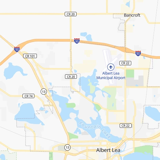
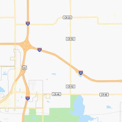
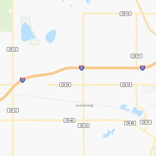
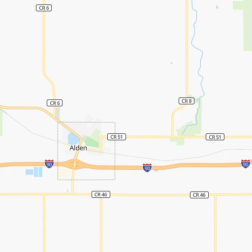
Roadmap (route) to go from Albert Lea Municipal Airport to Andover detailed above, you can also see the course layout on the map.
While doing trip Albert Lea Municipal (airport) - Andover by car, the calculated route ends at a distance , or more straight.
Distance and duration of the route between Albert Lea Municipal (airport) and Andover
Calculation of distance and route from Andover to Albert Lea Municipal (airport) :
172.6185.0 km2h6mn
Continue 0h1mn 469 mTurn left onto Bridge Avenue 0h1mn 757 mTurn right and take I 90 East toward Austin 0h2mn 3.2 kmKeep right and take I 35 North toward Minneapolis, Saint Paul 1h11mn 121.2 kmKeep left onto I 35W 0h11mn 16.6 kmKeep right and take MN 62 toward 58th Street 0h0mn 209 mKeep left and take MN 62 West toward 58th Street 0h1mn 605 mKeep left 0h1mn 795 mKeep right onto MN 121 and drive toward West 58th Street 0h8mn 6.4 kmTurn slight right onto Lyndale Avenue South 0h3mn 1.7 kmKeep left onto I- 94 Service Road 0h0mn 466 mKeep left toward I 394 West, I 94 West 0h0mn 175 mKeep right toward I 94 West 0h7mn 10.2 kmKeep right toward MN 252, I 694 East 0h0mn 97 mKeep left toward MN 252 North 0h5mn 6.1 kmKeep right toward MN 610 East 0h2mn 2.5 kmKeep right and take CR 1 toward East River Road 0h0mn 291 mKeep left 0h0mn 431 mContinue onto East River Road 0h3mn 3.4 kmTurn right onto Hanson Boulevard Northwest 0h8mn 8.3 kmTurn right onto Andover Boulevard Northwest 0h1mn 1.2 kmArrive at destination 0h0mn 0 m
Travel from Albert Lea Municipal (airport) (Minnesota) to a selection of major cities.
Distances from Albert Lea Municipal Airport to biggest cities in Minnesota
- Minnetonka Mills,50,117 inhabitants.140 km
- Saint Louis Park,45,250 inhabitants.141 km
- Moorhead,42,005 inhabitants.444 km
- Mankato,41,044 inhabitants.74 km
- Maplewood,40,567 inhabitants.145 km
- Shakopee,39,981 inhabitants.125 km
- Richfield,36,216 inhabitants.134 km
- Cottage Grove,35,918 inhabitants.132 km
- Roseville,35,580 inhabitants.148 km
- Inver Grove Heights,34,857 inhabitants.132 km
- Andover,32,213 inhabitants.173 km
- Brooklyn Center,30,770 inhabitants.155 km
- Savage,30,391 inhabitants.122 km
- Oakdale,28,080 inhabitants.146 km
- Fridley,27,713 inhabitants.157 km
- Winona,27,094 inhabitants.145 km
- Shoreview,26,477 inhabitants.157 km
- Ramsey,25,828 inhabitants.176 km
- Owatonna,25,725 inhabitants.46 km
- Chanhassen,25,332 inhabitants.132 km
Other major cities in country :
- Charlotte [NC], 827,097 inhabitants. 1,427 km
- Seattle [WA], 684,451 inhabitants. 2,282 km
- Denver [CO], 682,545 inhabitants. 1,059 km
- El Paso [TX], 681,124 inhabitants. 1,755 km
- Detroit [MI], 677,116 inhabitants. 853 km
- Boston [MA], 667,137 inhabitants. 1,816 km
- Memphis [TN], 655,770 inhabitants. 991 km
- New South Memphis [TN], 641,608 inhabitants. 998 km
- Portland [OR], 632,309 inhabitants. 2,319 km
- Oklahoma City [OK], 631,346 inhabitants. 981 km
- Las Vegas [NV], 623,747 inhabitants. 2,030 km
- Baltimore [MD], 621,849 inhabitants. 1,477 km
- Washington, D.C. [DC], 601,723 inhabitants. 1,463 km
- Milwaukee [WI], 600,155 inhabitants. 448 km
- South Boston [MA], 571,281 inhabitants. 1,817 km
- Albuquerque [NM], 559,121 inhabitants. 1,487 km
- Tucson [AZ], 531,641 inhabitants. 1,993 km
- Nashville [TN], 530,852 inhabitants. 1,007 km
- Fresno [CA], 520,052 inhabitants. 2,362 km
- Sacramento [CA], 490,712 inhabitants. 2,413 km
Route from Andover to major cities (United States).
- Distance Andover New York City1,645 km
- Distance Andover Los Angeles2,460 km
- Distance Andover Chicago591 km
- Distance Andover Brooklyn1,652 km
- Distance Andover Houston1,732 km
- Distance Andover Queens1,659 km
- Distance Andover Philadelphia1,593 km
- Distance Andover Phoenix2,073 km
- Distance Andover Manhattan1,645 km
- Distance Andover San Antonio1,818 km
- Distance Andover San Diego2,477 km
- Distance Andover The Bronx1,649 km
- Distance Andover Dallas1,419 km
- Distance Andover San Jose2,533 km
- Distance Andover Austin1,711 km
- Distance Andover Jacksonville1,945 km
- Distance Andover San Francisco2,550 km
- Distance Andover Columbus1,026 km
- Distance Andover Fort Worth1,435 km
- Distance Andover Indianapolis844 km
Nearest cities to Albert Lea Municipal (airport) :
- Omaha, 443,885 inhabitants. 343 km
- Minneapolis, 410,939 inhabitants. 145 km
- Saint Paul, 285,068 inhabitants. 142 km
- Des Moines, 210,330 inhabitants. 232 km
- Cedar Rapids, 130,405 inhabitants. 233 km
- Rochester, 112,225 inhabitants. 81 km
- Davenport, 102,582 inhabitants. 332 km
- Bloomington, 86,435 inhabitants. 129 km
- Brooklyn Park, 79,149 inhabitants. 157 km
- Plymouth, 75,907 inhabitants. 148 km
- Iowa City, 74,220 inhabitants. 271 km
- Waterloo, 68,460 inhabitants. 156 km
- Maple Grove, 68,385 inhabitants. 155 km
- Woodbury, 67,855 inhabitants. 142 km
- Eau Claire, 67,778 inhabitants. 195 km
- Eagan, 66,286 inhabitants. 126 km
- Saint Cloud, 65,842 inhabitants. 218 km
- Ames, 65,060 inhabitants. 184 km
- West Des Moines, 64,113 inhabitants. 236 km
- Eden Prairie, 63,496 inhabitants. 131 km
- Council Bluffs, 62,597 inhabitants. 338 km
- West Coon Rapids, 62,528 inhabitants. 165 km
- Coon Rapids, 62,240 inhabitants. 160 km
- Blaine, 62,124 inhabitants. 165 km
- Burnsville, 61,481 inhabitants. 121 km
- Lakeville, 60,633 inhabitants. 108 km
- Dubuque, 58,799 inhabitants. 256 km
- Ankeny, 56,764 inhabitants. 218 km
- Bellevue, 55,510 inhabitants. 351 km
- La Crosse, 52,306 inhabitants. 172 km
- Minnetonka, 51,669 inhabitants. 138 km
- Apple Valley, 51,221 inhabitants. 118 km
- North La Crosse, 50,470 inhabitants. 171 km
- Edina, 50,138 inhabitants. 135 km
- Minnetonka Mills, 50,117 inhabitants. 140 km
- Saint Louis Park, 45,250 inhabitants. 141 km
- Urbandale, 44,062 inhabitants. 230 km
- Moline, 42,681 inhabitants. 336 km
- Cedar Falls, 41,255 inhabitants. 149 km
- Mankato, 41,044 inhabitants. 74 km
- Maplewood, 40,567 inhabitants. 145 km
- Shakopee, 39,981 inhabitants. 125 km
- Rock Island, 38,620 inhabitants. 333 km
- Marion, 37,330 inhabitants. 233 km
- Richfield, 36,216 inhabitants. 134 km
- Cottage Grove, 35,918 inhabitants. 132 km
- Roseville, 35,580 inhabitants. 148 km
- Bettendorf, 35,505 inhabitants. 335 km
- Inver Grove Heights, 34,857 inhabitants. 132 km
- Andover, 32,213 inhabitants. 173 km
Location Albert Lea Municipal (airport) (Minnesota) :
| Country flag |  |
| Location | Albert Lea Municipal (airport) |
| State | Minnesota |
| County | Freeborn County |
| Country | United States |
| Country code / ISO 2 | US |
| Latitude | 43.6813500 |
| Longitude | -93.3674300 |
| Altitude | 381 meters |
| Time zone | America/Chicago |
Location Andover (Minnesota) :
| Country flag | |
| Location | Andover |
| State | Minnesota |
| County | Anoka County |
| Country | United States |
| Country code / ISO 2 | US |
| Latitude | 45.2333000 |
| Longitude | -93.2913400 |
| Altitude | 271 meters |
| Time zone | America/Chicago |


