
How to get from Stantsiya Roslavl’ Vtoroy (Smolensk) to Pochep (Bryansk Oblast)
Calculate route from Stantsiya Roslavl’ Vtoroy (Smolensk, Russia) to Pochep (Bryansk Oblast, Russia).
The flight distance (as the crow flies) between Stantsiya Roslavl’ Vtoroy and Pochep is 113.9 km.
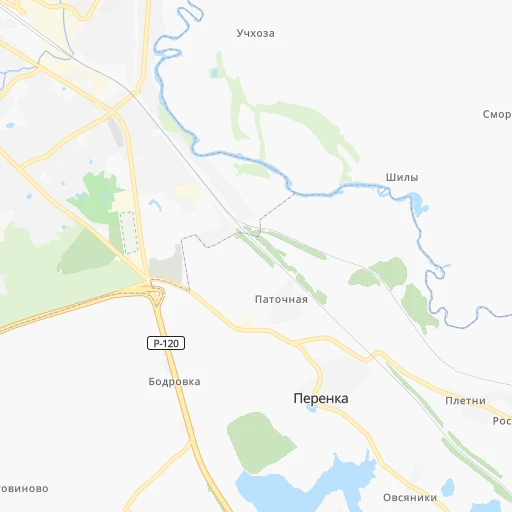
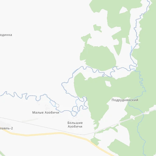
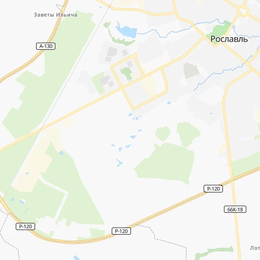
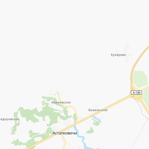
Roadmap (route) to go from Stantsiya Roslavl’ Vtoroy to Pochep detailed above, you can also see the course layout on the map.
While doing trip Stantsiya Roslavl’ Vtoroy - Pochep by car, the calculated route ends at a distance , or more straight.
Distance and duration of the route between Stantsiya Roslavl’ Vtoroy and Pochep
Calculation of distance and route from Pochep to Stantsiya Roslavl’ Vtoroy :
113.9155.9 km3h30mn
Continue 0h1mn 306 mTurn right onto 66Н-1509 0h2mn 2.0 kmTurn left 0h0mn 34 mTurn right 0h1mn 646 mTurn right onto «Брянск — Смоленск до границы Республики Беларусь (через Рудню, на Витебск)» — Волковичи» — Перенка 0h0mn 108 mTurn left 0h5mn 1.3 kmTurn left 0h1mn 440 mTurn left onto Р-120 1h11mn 82.2 kmTurn right onto 15К-802 0h9mn 9.4 kmTurn left onto 15К-703 0h12mn 11.6 kmTurn sharp right onto Молодёжная улица 0h5mn 4.8 kmTurn right onto 15К-2003 1h41mn 40.9 kmTurn right onto улица Мира 0h1mn 1.0 kmKeep right onto Смоленская улица 0h0mn 459 mKeep right onto Мглинская улица 0h0mn 446 mTurn right onto Затинская улица 0h0mn 26 mTurn slight left 0h0mn 67 mArrive at destination 0h0mn 0 m
Travel from Stantsiya Roslavl’ Vtoroy (Bryansk Oblast) to a selection of major cities.
Distances from Stantsiya Roslavl’ Vtoroy to biggest cities in Smolensk
Other major cities in country :
- Yaroslavl [88], 606,730 inhabitants. 598 km
- Barnaul [04], 599,579 inhabitants. 3,280 km
- Vladivostok [59], 587,022 inhabitants. 6,784 km
- Irkutsk [20], 586,695 inhabitants. 4,564 km
- Khabarovsk [30], 579,000 inhabitants. 6,507 km
- Khabarovsk Vtoroy [30], 578,303 inhabitants. 6,513 km
- Orenburg [55], 550,204 inhabitants. 1,501 km
- Novokuznetsk [29], 539,616 inhabitants. 3,468 km
- Ryazan' [62], 520,173 inhabitants. 444 km
- Tyumen [78], 519,119 inhabitants. 2,062 km
- Lipetsk [43], 515,655 inhabitants. 463 km
- Penza [57], 512,602 inhabitants. 799 km
- Naberezhnyye Chelny [73], 509,870 inhabitants. 1,259 km
- Kalininskiy [42], 504,641 inhabitants. 694 km
- Astrakhan [07], 502,533 inhabitants. 1,362 km
- Makhachkala [17], 497,959 inhabitants. 1,617 km
- Tomsk [75], 485,519 inhabitants. 3,236 km
- Kemerovo [29], 477,090 inhabitants. 3,343 km
- Tula [76], 468,825 inhabitants. 306 km
- Kirov [33], 457,383 inhabitants. 1,152 km
Route from Pochep to major cities (Russia).
- Distance Pochep Moscow414 km
- Distance Pochep Saint Petersburg803 km
- Distance Pochep Novosibirsk3,179 km
- Distance Pochep Yekaterinburg1,780 km
- Distance Pochep Nizhniy Novgorod777 km
- Distance Pochep Samara1,115 km
- Distance Pochep Omsk2,589 km
- Distance Pochep Kazan1,063 km
- Distance Pochep Rostov-na-Donu777 km
- Distance Pochep Chelyabinsk1,833 km
- Distance Pochep Ufa1,486 km
- Distance Pochep Volgograd907 km
- Distance Pochep Perm1,537 km
- Distance Pochep Krasnoyarsk3,739 km
- Distance Pochep Saratov869 km
- Distance Pochep Voronezh415 km
- Distance Pochep Tol'yatti1,059 km
- Distance Pochep Krasnodar966 km
- Distance Pochep Ulyanovsk996 km
- Distance Pochep Izhevsk1,332 km
Nearest cities to Stantsiya Roslavl’ Vtoroy :
- Bryansk, 427,236 inhabitants. 119 km
- Tver, 400,212 inhabitants. 376 km
- Smolensk, 320,991 inhabitants. 113 km
- Velikiye Luki, 103,149 inhabitants. 311 km
- Zheleznogorsk, 97,900 inhabitants. 239 km
- Klintsy, 66,336 inhabitants. 138 km
- Rzhev, 62,246 inhabitants. 275 km
- Roslavl', 56,971 inhabitants. 8 km
- Vyaz'ma, 55,500 inhabitants. 168 km
- Yartsevo, 52,706 inhabitants. 129 km
- Safonovo, 46,637 inhabitants. 138 km
- Kurchatov, 46,600 inhabitants. 310 km
- Novozybkov, 42,571 inhabitants. 168 km
- Lyudinovo, 41,392 inhabitants. 97 km
- Kirov, 39,319 inhabitants. 89 km
- Dyat'kovo, 33,200 inhabitants. 97 km
- Desnogorsk, 32,451 inhabitants. 33 km
- Unecha, 29,028 inhabitants. 121 km
- Gagarin, 28,879 inhabitants. 224 km
- Nelidovo, 25,349 inhabitants. 257 km
- L'govskiy, 23,500 inhabitants. 298 km
- Karachev, 19,757 inhabitants. 160 km
- Zhukovka, 19,690 inhabitants. 66 km
- Kozel'sk, 19,500 inhabitants. 184 km
- Starodub, 18,539 inhabitants. 149 km
- Sel'tso, 18,167 inhabitants. 97 km
- Kondrovo, 17,151 inhabitants. 216 km
- Ryl'sk, 17,007 inhabitants. 286 km
- Sukhinichi, 16,100 inhabitants. 157 km
- Trubchevsk, 16,100 inhabitants. 158 km
- Pochep, 15,100 inhabitants. 114 km
- Klimovo, 14,482 inhabitants. 179 km
- Tovarkovo, 14,294 inhabitants. 211 km
- Toropets, 14,187 inhabitants. 299 km
- Verkhnedneprovskiy, 13,903 inhabitants. 121 km
- Navlya, 13,735 inhabitants. 159 km
- Kletnya, 13,658 inhabitants. 61 km
- Sosenskiy, 12,484 inhabitants. 197 km
- Dorogobuzh, 12,293 inhabitants. 113 km
- Surazh, 11,962 inhabitants. 107 km
- Lokot', 11,853 inhabitants. 185 km
- Pogar, 11,242 inhabitants. 153 km
- Belyye Berega, 10,425 inhabitants. 137 km
- Shakhovskaya, 10,353 inhabitants. 286 km
- Yel'nya, 10,050 inhabitants. 75 km
- Zapadnaya Dvina, 9,962 inhabitants. 267 km
- Rudnya, 9,615 inhabitants. 167 km
- Naryshkino, 9,600 inhabitants. 211 km
- Suzemka, 9,394 inhabitants. 193 km
- Pochinok, 9,310 inhabitants. 64 km
Location Stantsiya Roslavl’ Vtoroy (Smolensk) :
| Country flag |  |
| Location | Stantsiya Roslavl’ Vtoroy |
| State | Smolensk |
| County | |
| Country | Russia |
| Country code / ISO 2 | RU |
| Latitude | 53.9172200 |
| Longitude | 32.9644400 |
| Altitude | 0 meters |
| Time zone | Europe/Moscow |
Location Pochep (Bryansk Oblast) :
| Country flag | |
| Location | Pochep |
| State | Bryansk Oblast |
| County | Pochepskiy Rayon |
| Country | Russia |
| Country code / ISO 2 | RU |
| Latitude | 52.9336000 |
| Longitude | 33.4464000 |
| Altitude | 0 meters |
| Time zone | Europe/Moscow |