
How to get from Stan Nowiki (airport) (Michigan) to Tucson (Arizona)
Calculate route from Stan Nowiki (airport) (Michigan, United States) to Tucson (Arizona, United States).
The flight distance (as the crow flies) between Stan Nowiki (airport) and Tucson is 2,644.3 km.
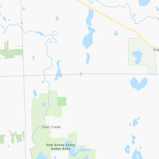
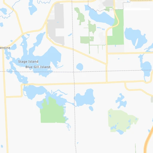
Roadmap (route) to go from Stan Nowiki Airport to Tucson detailed above, you can also see the course layout on the map.
While doing trip Stan Nowiki (airport) - Tucson by car, the calculated route ends at a distance , or more straight.
Distance and duration of the route between Stan Nowiki (airport) and Tucson
Calculation of distance and route from Tucson to Stan Nowiki (airport) :
2,644.33,118.3 km33h43mn
Continue onto Pine Walk Pass 0h1mn 302 mTurn left onto Timberland Drive 0h0mn 197 mTurn left onto McCaslin Lake Road 0h0mn 102 mTurn sharp right onto Silver Lake Road 0h9mn 7.8 kmTurn left onto Byron Road 0h1mn 1.0 kmTurn right onto Beard Road 0h24mn 31.5 kmTurn left onto Lansing Road 0h6mn 8.1 kmTurn left onto Saginaw Highway 0h8mn 9.4 kmTurn left onto North Howard Avenue 0h0mn 278 mKeep left toward US 127 South 0h1mn 1.0 kmKeep right and take I 496 West toward Downtown Lansing 0h4mn 6.4 kmKeep right 0h9mn 11.7 kmTurn left and take I 69 South toward Ft Wayne 0h30mn 50.7 kmKeep right and take I 94 toward Chicago, Detroit 0h0mn 311 mKeep right and take I 94 West toward Chicago 2h29mn 245.5 kmKeep right and take US 41 North toward Calumet Avenue, Hammond, Munster 0h0mn 318 mKeep left and drive toward Calumet Avenue South 0h0mn 361 mKeep left 0h10mn 13.4 kmKeep right onto I 80 and take I 80 West toward Iowa 0h26mn 38.0 kmKeep right and drive toward Meadow Avenue, Center Street 0h0mn 239 mKeep left and drive toward Meadow Avenue 0h2mn 1.4 kmTurn left onto Brandon Road 0h0mn 374 mTurn right onto Channahon Road 0h8mn 9.6 kmTurn left 1h26mn 146.2 kmKeep right onto I 55 and take I 55 South toward Saint Louis, Springfield 1h2mn 104.2 kmKeep left onto I 55 and take I 55 South toward Saint Louis 1h26mn 143.9 kmKeep left onto I 55, US 40 and take I 55 South, I 64, IL 3, US 40 West toward Louisville, Saint Louis 0h2mn 2.8 kmKeep right onto I 55, IL 3 and take IL 3 South toward Cahokia 0h2mn 2.6 kmKeep right onto I 55 and take I 44 West, I 55 South, I 44 East toward Tulsa, Memphis, Kansas City, Walnut Street 0h2mn 2.1 kmKeep right onto Officer David Haynes Memorial Highway 6h59mn 607.7 kmKeep right onto I 44 and take I 44 West, US 412 West, OK 66 West toward Tulsa 0h5mn 8.2 kmKeep left onto Skelly Bypass and take I 44 West, OK 66 West toward Sapulpa, Oklahoma City 0h14mn 20.3 kmKeep left onto Skelly Bypass 0h1mn 2.1 kmKeep left onto Skelly Bypass 1h18mn 140.9 kmKeep left onto I 44 and take I 35 South, I 44 West, OK 66 West toward Dallas, Lawton 0h5mn 7.4 kmKeep right onto Will Rogers Expressway and take I 44 West, OK 66 West toward Lawton, Amarillo 0h8mn 11.4 kmKeep right and take OK 66 West toward Warr Acres, Bethany 0h0mn 272 mKeep left onto Northwest 39th Expressway 0h20mn 21.9 kmTurn left onto North Cimarron Road 0h1mn 645 mTurn right and take I 40 West, US 270 West toward Amarillo 4h37mn 384.3 kmKeep right onto US 287 and take I 27 South, US 87, US 60, US 287 North toward Canyon, Lubbock, Dumas, Pampa, Downtown 0h0mn 143 mKeep left and take I 27 South, US 87 South, US 60 West toward Canyon, Lubbock 0h14mn 22.1 kmKeep right onto Canyon Expressway 0h2mn 3.9 kmKeep right onto US 60 and take US 60 West toward Hereford 0h10mn 16.6 kmTurn slight right onto US 60 1h4mn 88.3 kmContinue onto Gardner Avenue 0h13mn 21.2 kmKeep right 0h0mn 58 mTurn slight right onto Wheeler Avenue 0h3mn 3.0 kmTurn slight right onto US 60, US 70, US 84 0h4mn 4.7 kmTurn slight right onto Mabry Drive 0h4mn 4.6 kmTurn left onto South Norris Street 0h1mn 676 mTurn right onto East Brady Avenue 0h2mn 1.6 kmTurn left onto South Prince Street 3h31mn 177.9 kmKeep right 2h36mn 133.7 kmKeep right 0h23mn 26.5 kmTurn left onto North Bookout Road 0h2mn 2.4 kmTurn left onto US 54, US 70 0h9mn 14.0 kmKeep right onto US 54, US 70 0h6mn 7.9 kmKeep right onto US 70 1h8mn 105.0 kmKeep right 0h4mn 4.7 kmTurn slight right onto West Picacho Avenue 0h5mn 5.7 kmKeep right onto US 70 and drive toward Arizona 4h56mn 419.8 kmKeep right and drive toward Alvernon Way North 0h3mn 3.0 kmKeep right and drive toward Alvernon Way 0h1mn 1.3 kmTurn left 0h2mn 2.0 kmTurn right onto South Country Club Road 0h3mn 2.6 kmArrive at destination 0h0mn 0 m
Travel from Stan Nowiki (airport) (Arizona) to a selection of major cities.
Distances from Stan Nowiki Airport to biggest cities in Michigan
- West Bloomfield Township,64,690 inhabitants.46 km
- Taylor,61,568 inhabitants.78 km
- Pontiac,59,917 inhabitants.49 km
- Saint Clair Shores,59,715 inhabitants.85 km
- Royal Oak,59,008 inhabitants.67 km
- Novi,58,723 inhabitants.46 km
- Dearborn Heights,56,145 inhabitants.69 km
- Battle Creek,51,589 inhabitants.121 km
- Kentwood,51,357 inhabitants.147 km
- Redford,49,936 inhabitants.64 km
- Saginaw,49,347 inhabitants.70 km
- East Lansing,48,471 inhabitants.52 km
- Portage,48,177 inhabitants.157 km
- Roseville,47,637 inhabitants.82 km
- Midland,42,200 inhabitants.97 km
- Muskegon,38,401 inhabitants.201 km
- Lincoln Park,37,012 inhabitants.82 km
- Bay City,33,917 inhabitants.89 km
- Holland,33,742 inhabitants.185 km
- Jackson,33,133 inhabitants.76 km
Other major cities in country :
- Charlotte [NC], 827,097 inhabitants. 881 km
- Seattle [WA], 684,451 inhabitants. 3,033 km
- Denver [CO], 682,545 inhabitants. 1,796 km
- El Paso [TX], 681,124 inhabitants. 2,340 km
- Boston [MA], 667,137 inhabitants. 1,049 km
- Memphis [TN], 655,770 inhabitants. 1,005 km
- New South Memphis [TN], 641,608 inhabitants. 1,012 km
- Portland [OR], 632,309 inhabitants. 3,085 km
- Oklahoma City [OK], 631,346 inhabitants. 1,432 km
- Las Vegas [NV], 623,747 inhabitants. 2,770 km
- Baltimore [MD], 621,849 inhabitants. 722 km
- Washington, D.C. [DC], 601,723 inhabitants. 719 km
- Milwaukee [WI], 600,155 inhabitants. 332 km
- South Boston [MA], 571,281 inhabitants. 1,050 km
- Albuquerque [NM], 559,121 inhabitants. 2,144 km
- Tucson [AZ], 531,641 inhabitants. 2,649 km
- Nashville [TN], 530,852 inhabitants. 780 km
- Fresno [CA], 520,052 inhabitants. 3,122 km
- Sacramento [CA], 490,712 inhabitants. 3,185 km
- Kansas City [MO], 475,378 inhabitants. 990 km
Route from Tucson to major cities (United States).
- Distance Tucson New York City3,410 km
- Distance Tucson Los Angeles712 km
- Distance Tucson Chicago2,319 km
- Distance Tucson Brooklyn3,414 km
- Distance Tucson Houston1,509 km
- Distance Tucson Queens3,424 km
- Distance Tucson Philadelphia3,306 km
- Distance Tucson Manhattan3,414 km
- Distance Tucson San Antonio1,228 km
- Distance Tucson San Diego588 km
- Distance Tucson The Bronx3,423 km
- Distance Tucson Dallas1,326 km
- Distance Tucson San Jose1,152 km
- Distance Tucson Austin1,273 km
- Distance Tucson Jacksonville2,784 km
- Distance Tucson San Francisco1,215 km
- Distance Tucson Columbus2,643 km
- Distance Tucson Fort Worth1,278 km
- Distance Tucson Indianapolis2,374 km
- Distance Tucson Charlotte2,795 km
Nearest cities to Stan Nowiki (airport) :
- Columbus, 850,106 inhabitants. 323 km
- Detroit, 677,116 inhabitants. 84 km
- Cleveland, 388,072 inhabitants. 229 km
- Toledo, 279,789 inhabitants. 128 km
- Fort Wayne, 260,326 inhabitants. 213 km
- Akron, 197,542 inhabitants. 271 km
- Grand Rapids, 195,097 inhabitants. 150 km
- Warren, 134,056 inhabitants. 76 km
- Sterling Heights, 132,052 inhabitants. 71 km
- Ann Arbor, 117,070 inhabitants. 58 km
- Lansing, 115,056 inhabitants. 58 km
- South Bend, 101,516 inhabitants. 233 km
- Clinton Township, 99,753 inhabitants. 80 km
- Flint, 98,310 inhabitants. 28 km
- Dearborn, 95,171 inhabitants. 76 km
- Livonia, 94,635 inhabitants. 63 km
- Carmel, 88,713 inhabitants. 366 km
- Canton, 86,825 inhabitants. 62 km
- Troy, 83,280 inhabitants. 61 km
- Westland, 82,000 inhabitants. 64 km
- Farmington Hills, 81,330 inhabitants. 52 km
- Parma, 79,937 inhabitants. 234 km
- Fishers, 76,794 inhabitants. 364 km
- Kalamazoo, 76,041 inhabitants. 153 km
- Waterford, 75,737 inhabitants. 38 km
- Wyoming, 75,275 inhabitants. 152 km
- Shelby, 74,099 inhabitants. 68 km
- Rochester Hills, 73,424 inhabitants. 59 km
- Southfield, 73,156 inhabitants. 63 km
- Canton, 71,885 inhabitants. 302 km
- Muncie, 70,087 inhabitants. 317 km
- West Bloomfield Township, 64,690 inhabitants. 46 km
- Lorain, 63,647 inhabitants. 203 km
- Taylor, 61,568 inhabitants. 78 km
- Pontiac, 59,917 inhabitants. 49 km
- Saint Clair Shores, 59,715 inhabitants. 85 km
- Springfield, 59,680 inhabitants. 320 km
- Noblesville, 59,093 inhabitants. 355 km
- Royal Oak, 59,008 inhabitants. 67 km
- Novi, 58,723 inhabitants. 46 km
- Kokomo, 57,995 inhabitants. 320 km
- Dearborn Heights, 56,145 inhabitants. 69 km
- Anderson, 55,305 inhabitants. 336 km
- Elyria, 53,775 inhabitants. 214 km
- Elkhart, 52,348 inhabitants. 215 km
- Battle Creek, 51,589 inhabitants. 121 km
- Kentwood, 51,357 inhabitants. 147 km
- Lakewood, 50,656 inhabitants. 224 km
- Redford, 49,936 inhabitants. 64 km
- Saginaw, 49,347 inhabitants. 70 km
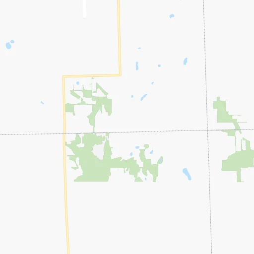
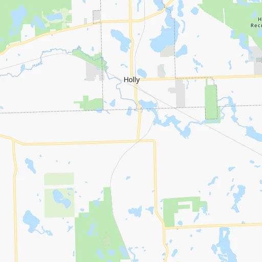
Location Stan Nowiki (airport) (Michigan) :
| Country flag |  |
| Location | Stan Nowiki (airport) |
| State | Michigan |
| County | Genesee County |
| Country | United States |
| Country code / ISO 2 | US |
| Latitude | 42.7944700 |
| Longitude | -83.8496800 |
| Altitude | 262 meters |
| Time zone | America/Detroit |
Location Tucson (Arizona) :
| Country flag | |
| Location | Tucson |
| State | Arizona |
| County | Pima County |
| Country | United States |
| Country code / ISO 2 | US |
| Latitude | 32.2217400 |
| Longitude | -110.9264800 |
| Altitude | 759 meters |
| Time zone | America/Phoenix |


