

How to get from Avoca (airport) (Michigan) to Austin (Texas)
Calculate route from Avoca (airport) (Michigan, United States) to Austin (Texas, United States).
The flight distance (as the crow flies) between Avoca (airport) and Austin is 1,947.6 km.
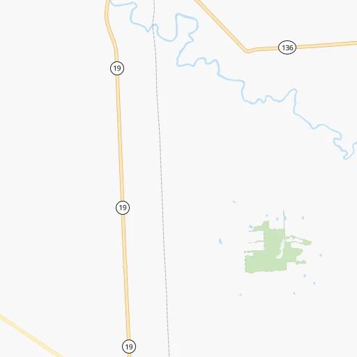
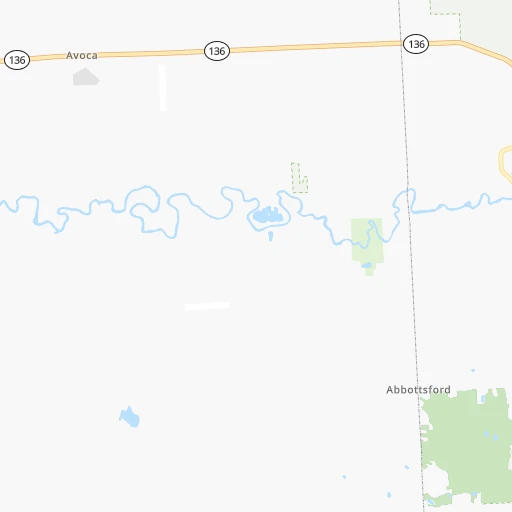
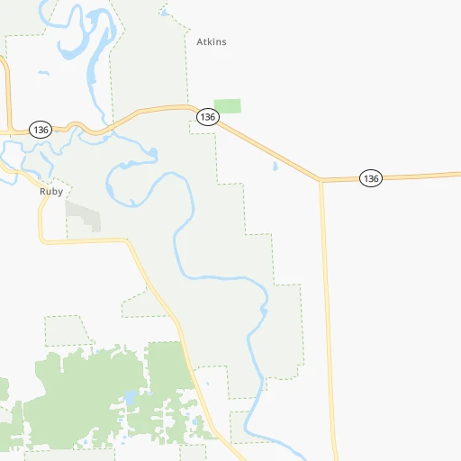
Roadmap (route) to go from Avoca Airport to Austin detailed above, you can also see the course layout on the map.
While doing trip Avoca (airport) - Austin by car, the calculated route ends at a distance , or more straight.
Distance and duration of the route between Avoca (airport) and Austin
Calculation of distance and route from Austin to Avoca (airport) :
1,947.62,252.7 km24h37mn
Continue onto Duce Road 0h9mn 4.5 kmTurn right onto Lapeer Road 0h1mn 799 mTurn left onto Wales Center Road 0h13mn 11.2 kmTurn left onto Rattle Run Road 0h2mn 1.6 kmTurn right onto Hessen Road 0h8mn 4.2 kmTurn right onto Gratiot Avenue 0h6mn 8.2 kmContinue onto Gratiot Avenue 0h13mn 16.0 kmTurn sharp left onto 23 Mile Road 0h1mn 783 mTurn right and take I 94 West toward Detroit 1h30mn 45.8 kmKeep left and take M 10 South toward Downtown 0h2mn 2.9 kmKeep right and take I 75 toward Flint, Toledo 0h0mn 120 mKeep right and take I 75 South toward Toledo, Trumbull Avenue 0h0mn 96 mKeep left and take I 75 South toward Toledo 0h1mn 1.4 kmKeep left and take I 75 South toward Toledo 1h51mn 84.4 kmKeep right and take I 280 South toward Cleveland 0h0mn 262 mKeep left and take I 280 South toward Cleveland 0h0mn 328 mKeep right and take I 280 South toward Cleveland 0h1mn 1.3 kmKeep right and take SR 25 South toward Downtown 0h0mn 302 mKeep right and take SR 25 South toward Greenbelt Parkway, Downtown 2h44mn 147.9 kmTurn left 0h20mn 33.5 kmKeep right and take I 69 South toward Indianapolis 2h39mn 164.4 kmTurn slight right onto East Fall Creek Parkway North Drive 0h0mn 298 mKeep right onto East Fall Creek Parkway North Drive 0h4mn 3.7 kmContinue onto East Fall Creek Parkway North Drive 0h1mn 702 mTurn right onto East Fall Creek Parkway North Drive 0h2mn 1.6 kmTurn slight right onto Fall Creek Parkway North Drive 0h0mn 354 mTurn sharp left onto Dr Martin Luther King Jr Street 0h2mn 1.8 kmTurn right onto Oscar Robertson Boulevard 0h2mn 1.5 kmTurn left onto Saint Margaret's Drive 0h1mn 486 mTurn right onto West Michigan Street 0h1mn 972 mTurn left onto North Belmont Avenue 0h1mn 940 mTurn right onto West Washington Street 0h2mn 2.0 kmKeep left onto West Washington Street 0h0mn 537 mTurn left onto South Holt Road 0h1mn 852 mTurn right toward I 70 West 2h16mn 225.0 kmKeep right onto I 70 and take I 70 West toward Saint Louis 1h13mn 123.4 kmKeep left onto I 70 and take I 55 South, I 70 West toward Saint Louis 0h17mn 27.0 kmKeep left onto I 55, US 40 and take I 55 South, I 64, IL 3, US 40 West toward Louisville, Saint Louis 0h2mn 2.8 kmKeep right onto I 55, IL 3 and take IL 3 South toward Cahokia 0h2mn 2.6 kmKeep right onto I 55 and take I 44 West, I 55 South, I 44 East toward Tulsa, Memphis, Kansas City, Walnut Street 0h2mn 2.1 kmKeep right onto Officer David Haynes Memorial Highway 5h23mn 541.7 kmKeep right and take US 69 toward Big Cabin 0h0mn 451 mKeep right 0h0mn 161 mKeep left 0h0mn 76 mTurn left onto US 69 2h42mn 147.9 kmKeep right onto US 69 Business and take US 69 Buiness South toward Eufaula 1h34mn 53.5 kmContinue onto US 69 2h19mn 229.1 kmKeep right onto Central Expressway 0h7mn 12.2 kmKeep right onto North Central Expressway 0h14mn 23.8 kmKeep right and drive toward Live Oak Street 0h0mn 426 mTurn slight right onto Live Oak Street 0h0mn 40 mTurn sharp left onto North Pearl Street 0h1mn 623 mTurn right 0h0mn 174 mTurn left onto South Harwood Street 0h0mn 96 mTurn right onto Canton Street 0h0mn 152 mContinue onto Canton Street 0h0mn 492 mKeep left toward I 30 West 0h0mn 540 mKeep left and take I 35E South, I 35E North toward Waco, Denton 0h0mn 195 mKeep left and take I 35E North, I 35E South toward Denton, Waco 0h0mn 44 mKeep left and take I 35E South toward Waco 2h6mn 217.3 kmKeep left onto I 35 1h52mn 90.0 kmContinue onto Purple Heart Trail and drive toward 32nd Street, Dean Keeton Street 0h3mn 3.9 kmKeep right and drive toward 8th–3rd Streets, Huston-Tillotson University 0h0mn 407 mTurn right onto East 8th Street 0h1mn 542 mTurn left onto San Jacinto Boulevard 0h0mn 215 mTurn right onto East 6th Street 0h0mn 243 mTurn left onto Congress Avenue 0h0mn 109 mTurn left onto East 5th Street 0h0mn 8 mArrive at destination 0h0mn 0 m
Travel from Avoca (airport) (Texas) to a selection of major cities.
Distances from Avoca Airport to biggest cities in Michigan
- West Bloomfield Township,64,690 inhabitants.78 km
- Taylor,61,568 inhabitants.101 km
- Pontiac,59,917 inhabitants.67 km
- Saint Clair Shores,59,715 inhabitants.62 km
- Royal Oak,59,008 inhabitants.72 km
- Novi,58,723 inhabitants.90 km
- Dearborn Heights,56,145 inhabitants.92 km
- Battle Creek,51,589 inhabitants.220 km
- Kentwood,51,357 inhabitants.243 km
- Redford,49,936 inhabitants.88 km
- Saginaw,49,347 inhabitants.112 km
- East Lansing,48,471 inhabitants.151 km
- Portage,48,177 inhabitants.255 km
- Roseville,47,637 inhabitants.63 km
- Midland,42,200 inhabitants.143 km
- Muskegon,38,401 inhabitants.291 km
- Lincoln Park,37,012 inhabitants.96 km
- Bay City,33,917 inhabitants.117 km
- Holland,33,742 inhabitants.281 km
- Jackson,33,133 inhabitants.166 km
Other major cities in country :
- Charlotte [NC], 827,097 inhabitants. 883 km
- Seattle [WA], 684,451 inhabitants. 3,111 km
- Denver [CO], 682,545 inhabitants. 1,893 km
- El Paso [TX], 681,124 inhabitants. 2,439 km
- Boston [MA], 667,137 inhabitants. 952 km
- Memphis [TN], 655,770 inhabitants. 1,083 km
- New South Memphis [TN], 641,608 inhabitants. 1,090 km
- Portland [OR], 632,309 inhabitants. 3,167 km
- Oklahoma City [OK], 631,346 inhabitants. 1,528 km
- Las Vegas [NV], 623,747 inhabitants. 2,867 km
- Baltimore [MD], 621,849 inhabitants. 656 km
- Washington, D.C. [DC], 601,723 inhabitants. 660 km
- Milwaukee [WI], 600,155 inhabitants. 426 km
- South Boston [MA], 571,281 inhabitants. 954 km
- Albuquerque [NM], 559,121 inhabitants. 2,243 km
- Tucson [AZ], 531,641 inhabitants. 2,748 km
- Nashville [TN], 530,852 inhabitants. 841 km
- Fresno [CA], 520,052 inhabitants. 3,218 km
- Sacramento [CA], 490,712 inhabitants. 3,279 km
- Kansas City [MO], 475,378 inhabitants. 1,090 km
Route from Austin to major cities (United States).
- Distance Austin New York City2,434 km
- Distance Austin Los Angeles1,974 km
- Distance Austin Chicago1,575 km
- Distance Austin Brooklyn2,436 km
- Distance Austin Queens2,446 km
- Distance Austin Philadelphia2,312 km
- Distance Austin Phoenix1,399 km
- Distance Austin Manhattan2,440 km
- Distance Austin San Diego1,861 km
- Distance Austin The Bronx2,451 km
- Distance Austin San Jose2,361 km
- Distance Austin Jacksonville1,545 km
- Distance Austin San Francisco2,416 km
- Distance Austin Columbus1,718 km
- Distance Austin Indianapolis1,492 km
- Distance Austin Charlotte1,673 km
- Distance Austin Seattle2,851 km
- Distance Austin Denver1,243 km
- Distance Austin Detroit1,877 km
- Distance Austin Boston2,729 km
Nearest cities to Avoca (airport) :
- Detroit, 677,116 inhabitants. 84 km
- Cleveland, 388,072 inhabitants. 188 km
- Pittsburgh, 304,391 inhabitants. 364 km
- Toledo, 279,789 inhabitants. 169 km
- Fort Wayne, 260,326 inhabitants. 293 km
- Akron, 197,542 inhabitants. 237 km
- Grand Rapids, 195,097 inhabitants. 244 km
- Warren, 134,056 inhabitants. 66 km
- Sterling Heights, 132,052 inhabitants. 58 km
- Ann Arbor, 117,070 inhabitants. 121 km
- Lansing, 115,056 inhabitants. 157 km
- Clinton Township, 99,753 inhabitants. 53 km
- Erie, 99,475 inhabitants. 235 km
- Flint, 98,310 inhabitants. 83 km
- Dearborn, 95,171 inhabitants. 89 km
- Livonia, 94,635 inhabitants. 92 km
- Canton, 86,825 inhabitants. 104 km
- Troy, 83,280 inhabitants. 61 km
- Westland, 82,000 inhabitants. 99 km
- Farmington Hills, 81,330 inhabitants. 84 km
- Parma, 79,937 inhabitants. 197 km
- Kalamazoo, 76,041 inhabitants. 252 km
- Waterford, 75,737 inhabitants. 71 km
- Shelby, 74,099 inhabitants. 50 km
- Rochester Hills, 73,424 inhabitants. 57 km
- Southfield, 73,156 inhabitants. 77 km
- Canton, 71,885 inhabitants. 271 km
- Muncie, 70,087 inhabitants. 388 km
- West Bloomfield Township, 64,690 inhabitants. 78 km
- Youngstown, 64,628 inhabitants. 272 km
- Lorain, 63,647 inhabitants. 180 km
- Taylor, 61,568 inhabitants. 101 km
- Pontiac, 59,917 inhabitants. 67 km
- Saint Clair Shores, 59,715 inhabitants. 62 km
- Royal Oak, 59,008 inhabitants. 72 km
- Novi, 58,723 inhabitants. 90 km
- Dearborn Heights, 56,145 inhabitants. 92 km
- Elyria, 53,775 inhabitants. 191 km
- Battle Creek, 51,589 inhabitants. 220 km
- Kentwood, 51,357 inhabitants. 243 km
- Lakewood, 50,656 inhabitants. 187 km
- Redford, 49,936 inhabitants. 88 km
- Saginaw, 49,347 inhabitants. 112 km
- Cuyahoga Falls, 49,146 inhabitants. 233 km
- East Lansing, 48,471 inhabitants. 151 km
- Portage, 48,177 inhabitants. 255 km
- Newark, 47,986 inhabitants. 332 km
- Euclid, 47,676 inhabitants. 186 km
- Roseville, 47,637 inhabitants. 63 km
- Mentor, 46,901 inhabitants. 187 km
Location Avoca (airport) (Michigan) :
| Country flag |  |
| Location | Avoca (airport) |
| State | Michigan |
| County | Saint Clair County |
| Country | United States |
| Country code / ISO 2 | US |
| Latitude | 43.0303300 |
| Longitude | -82.6726100 |
| Altitude | 221 meters |
| Time zone | America/Detroit |
Location Austin (Texas) :
| Country flag | |
| Location | Austin |
| State | Texas |
| County | Travis County |
| Country | United States |
| Country code / ISO 2 | US |
| Latitude | 30.2671500 |
| Longitude | -97.7430600 |
| Altitude | 149 meters |
| Time zone | America/Chicago |


