
How to get from Maple Grove (airport) (Michigan) to Muncie (Indiana)
Calculate route from Maple Grove (airport) (Michigan, United States) to Muncie (Indiana, United States).
The flight distance (as the crow flies) between Maple Grove (airport) and Muncie is 301.4 km.
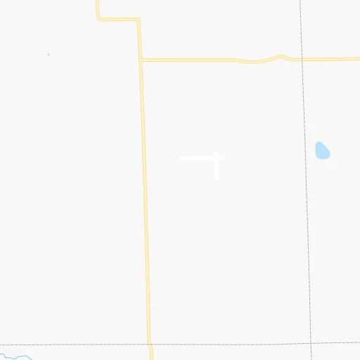
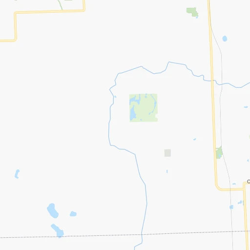
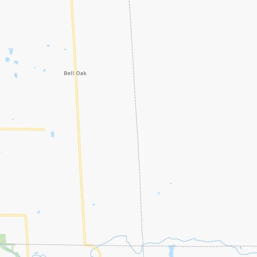
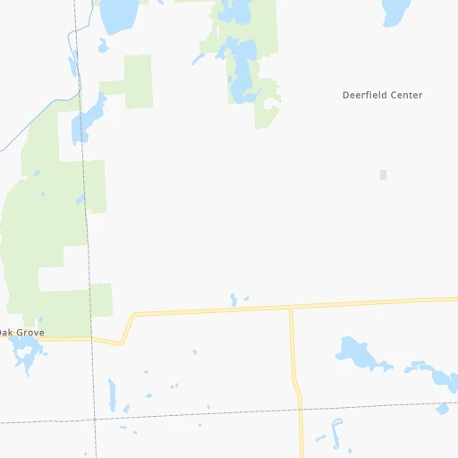
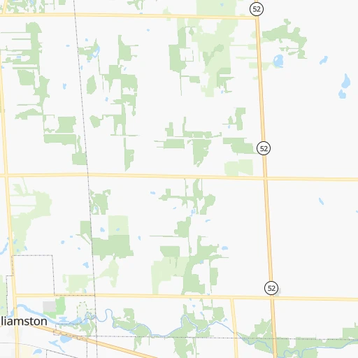
Roadmap (route) to go from Maple Grove Airport to Muncie detailed above, you can also see the course layout on the map.
While doing trip Maple Grove (airport) - Muncie by car, the calculated route ends at a distance , or more straight.
Distance and duration of the route between Maple Grove (airport) and Muncie
Calculation of distance and route from Muncie to Maple Grove (airport) :
301.4363.4 km4h8mn
Continue 0h0mn 155 mTurn right onto West Sherwood Road 0h2mn 1.2 kmTurn left onto North Fowlerville Road 0h9mn 7.4 kmTurn right toward I 96 West 0h29mn 49.3 kmKeep right 0h3mn 4.1 kmTurn left and take I 69 South toward Ft Wayne 2h15mn 227.5 kmKeep right and take US 224 toward Huntington, Markle 0h1mn 617 mKeep left and take US 224 toward Huntington, Markle 0h0mn 44 mTurn sharp left onto South Jefferson Street 0h0mn 485 mTurn right onto West Morse Street 0h1mn 1.0 kmTurn right onto North Clark Street 1h59mn 65.0 kmKeep right 0h1mn 617 mKeep left 0h2mn 1.8 kmTurn right onto North Broadway Avenue 0h1mn 928 mTurn right onto East McGalliard Road 0h0mn 94 mKeep left onto North Granville Avenue 0h2mn 1.9 kmTurn slight left onto North Walnut Street 0h1mn 1.2 kmArrive at destination 0h0mn 0 m
Travel from Maple Grove (airport) (Indiana) to a selection of major cities.
Distances from Maple Grove Airport to biggest cities in Michigan
- West Bloomfield Township,64,690 inhabitants.58 km
- Taylor,61,568 inhabitants.84 km
- Pontiac,59,917 inhabitants.64 km
- Saint Clair Shores,59,715 inhabitants.99 km
- Royal Oak,59,008 inhabitants.79 km
- Novi,58,723 inhabitants.55 km
- Dearborn Heights,56,145 inhabitants.77 km
- Battle Creek,51,589 inhabitants.102 km
- Kentwood,51,357 inhabitants.131 km
- Redford,49,936 inhabitants.73 km
- Saginaw,49,347 inhabitants.79 km
- East Lansing,48,471 inhabitants.35 km
- Portage,48,177 inhabitants.137 km
- Roseville,47,637 inhabitants.95 km
- Midland,42,200 inhabitants.101 km
- Muskegon,38,401 inhabitants.187 km
- Lincoln Park,37,012 inhabitants.89 km
- Bay City,33,917 inhabitants.99 km
- Holland,33,742 inhabitants.168 km
- Jackson,33,133 inhabitants.59 km
Other major cities in country :
- Charlotte [NC], 827,097 inhabitants. 879 km
- Seattle [WA], 684,451 inhabitants. 3,021 km
- Denver [CO], 682,545 inhabitants. 1,778 km
- El Paso [TX], 681,124 inhabitants. 2,321 km
- Boston [MA], 667,137 inhabitants. 1,066 km
- Memphis [TN], 655,770 inhabitants. 989 km
- New South Memphis [TN], 641,608 inhabitants. 995 km
- Portland [OR], 632,309 inhabitants. 3,072 km
- Oklahoma City [OK], 631,346 inhabitants. 1,412 km
- Las Vegas [NV], 623,747 inhabitants. 2,752 km
- Baltimore [MD], 621,849 inhabitants. 732 km
- Washington, D.C. [DC], 601,723 inhabitants. 728 km
- Milwaukee [WI], 600,155 inhabitants. 316 km
- South Boston [MA], 571,281 inhabitants. 1,067 km
- Albuquerque [NM], 559,121 inhabitants. 2,125 km
- Tucson [AZ], 531,641 inhabitants. 2,630 km
- Nashville [TN], 530,852 inhabitants. 766 km
- Fresno [CA], 520,052 inhabitants. 3,104 km
- Sacramento [CA], 490,712 inhabitants. 3,169 km
- Kansas City [MO], 475,378 inhabitants. 971 km
Route from Muncie to major cities (United States).
- Distance Muncie New York City965 km
- Distance Muncie Los Angeles2,977 km
- Distance Muncie Chicago265 km
- Distance Muncie Brooklyn970 km
- Distance Muncie Houston1,473 km
- Distance Muncie Queens979 km
- Distance Muncie Philadelphia871 km
- Distance Muncie Phoenix2,483 km
- Distance Muncie Manhattan968 km
- Distance Muncie San Antonio1,691 km
- Distance Muncie San Diego2,947 km
- Distance Muncie The Bronx977 km
- Distance Muncie Dallas1,312 km
- Distance Muncie San Jose3,162 km
- Distance Muncie Austin1,573 km
- Distance Muncie Jacksonville1,149 km
- Distance Muncie San Francisco3,193 km
- Distance Muncie Columbus205 km
- Distance Muncie Fort Worth1,352 km
- Distance Muncie Charlotte682 km
Nearest cities to Maple Grove (airport) :
- Columbus, 850,106 inhabitants. 319 km
- Indianapolis, 829,718 inhabitants. 372 km
- Detroit, 677,116 inhabitants. 94 km
- Cleveland, 388,072 inhabitants. 238 km
- Toledo, 279,789 inhabitants. 124 km
- Fort Wayne, 260,326 inhabitants. 198 km
- Akron, 197,542 inhabitants. 278 km
- Grand Rapids, 195,097 inhabitants. 134 km
- Dayton, 140,599 inhabitants. 330 km
- Warren, 134,056 inhabitants. 89 km
- Sterling Heights, 132,052 inhabitants. 86 km
- Ann Arbor, 117,070 inhabitants. 56 km
- Lansing, 115,056 inhabitants. 41 km
- South Bend, 101,516 inhabitants. 214 km
- Clinton Township, 99,753 inhabitants. 94 km
- Flint, 98,310 inhabitants. 45 km
- Dearborn, 95,171 inhabitants. 85 km
- Livonia, 94,635 inhabitants. 70 km
- Carmel, 88,713 inhabitants. 350 km
- Canton, 86,825 inhabitants. 66 km
- Troy, 83,280 inhabitants. 76 km
- Westland, 82,000 inhabitants. 70 km
- Farmington Hills, 81,330 inhabitants. 62 km
- Parma, 79,937 inhabitants. 242 km
- Fishers, 76,794 inhabitants. 348 km
- Kalamazoo, 76,041 inhabitants. 134 km
- Waterford, 75,737 inhabitants. 53 km
- Wyoming, 75,275 inhabitants. 136 km
- Shelby, 74,099 inhabitants. 84 km
- Rochester Hills, 73,424 inhabitants. 75 km
- Southfield, 73,156 inhabitants. 74 km
- Canton, 71,885 inhabitants. 309 km
- Lafayette, 71,111 inhabitants. 347 km
- Muncie, 70,087 inhabitants. 302 km
- West Bloomfield Township, 64,690 inhabitants. 58 km
- Lorain, 63,647 inhabitants. 209 km
- Taylor, 61,568 inhabitants. 84 km
- Pontiac, 59,917 inhabitants. 64 km
- Saint Clair Shores, 59,715 inhabitants. 99 km
- Springfield, 59,680 inhabitants. 312 km
- Noblesville, 59,093 inhabitants. 339 km
- Royal Oak, 59,008 inhabitants. 79 km
- Novi, 58,723 inhabitants. 55 km
- Kokomo, 57,995 inhabitants. 302 km
- Dearborn Heights, 56,145 inhabitants. 77 km
- Anderson, 55,305 inhabitants. 321 km
- Elyria, 53,775 inhabitants. 220 km
- Elkhart, 52,348 inhabitants. 196 km
- Battle Creek, 51,589 inhabitants. 102 km
- Kentwood, 51,357 inhabitants. 131 km
Location Maple Grove (airport) (Michigan) :
| Country flag |  |
| Location | Maple Grove (airport) |
| State | Michigan |
| County | Livingston County |
| Country | United States |
| Country code / ISO 2 | US |
| Latitude | 42.7173200 |
| Longitude | -84.0603000 |
| Altitude | 273 meters |
| Time zone | America/Detroit |
Location Muncie (Indiana) :
| Country flag | |
| Location | Muncie |
| State | Indiana |
| County | Delaware County |
| Country | United States |
| Country code / ISO 2 | US |
| Latitude | 40.1933800 |
| Longitude | -85.3863600 |
| Altitude | 284 meters |
| Time zone | America/Indiana/Indianapolis |


