
How to get from Watertown (Massachusetts) to Attleboro (Massachusetts)
Calculate route from Watertown (Massachusetts, United States) to Attleboro (Massachusetts, United States).
The flight distance (as the crow flies) between Watertown and Attleboro is 48.1 km.
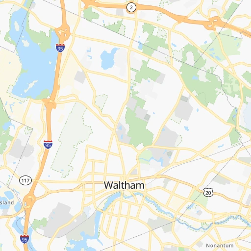
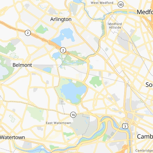
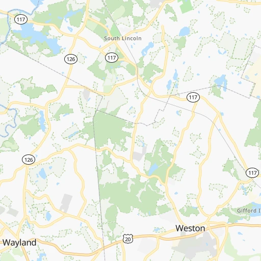
Roadmap (route) to go from Watertown to Attleboro detailed above, you can also see the course layout on the map.
While doing trip Watertown - Attleboro by car, the calculated route ends at a distance , or more straight.
Distance and duration of the route between Watertown and Attleboro
Calculation of distance and route from Attleboro to Watertown :
48.153.8 km1h47mn
Continue onto Oliver Street 0h0mn 131 mTurn slight right onto Church Street 0h1mn 518 mTurn left onto Main Street 0h0mn 118 mKeep right 0h0mn 76 mTurn slight right onto Galen Street 0h1mn 853 mKeep left toward I 90 West, Massachusetts Turnpike West 0h0mn 49 mTurn right onto Washington Street 0h0mn 257 mKeep left onto Centre Street 0h4mn 3.3 kmContinue onto Centre Street 0h2mn 2.4 kmTurn left onto Dedham Street 0h3mn 3.2 kmKeep right onto Veterans of Foreign Wars Parkway 0h17mn 19.3 kmKeep left and take I 95 South toward Attleboro, Providence Rhode Island 0h12mn 19.4 kmKeep right and drive toward North Attleboro, Attleboro 0h0mn 530 mKeep left 0h0mn 55 mTurn left onto Robert F. Toner Boulevard 0h0mn 494 mKeep right 0h3mn 3.0 kmTurn right 0h0mn 60 mArrive at destination 0h0mn 0 m
Travel from Watertown (Massachusetts) to a selection of major cities.
Distances from Watertown to biggest cities in Massachusetts
- Medford,57,403 inhabitants.8 km
- Taunton,56,789 inhabitants.53 km
- Chicopee,56,741 inhabitants.120 km
- North Chicopee,55,179 inhabitants.119 km
- Weymouth,54,395 inhabitants.26 km
- Revere,53,422 inhabitants.15 km
- Peabody,52,504 inhabitants.27 km
- South Peabody,50,293 inhabitants.25 km
- Barnstable,47,821 inhabitants.104 km
- Methuen,47,255 inhabitants.40 km
- Everett,46,050 inhabitants.11 km
- Attleboro,44,284 inhabitants.48 km
- Pittsfield,43,303 inhabitants.170 km
- Salem,42,869 inhabitants.29 km
- Arlington,42,844 inhabitants.5 km
- Westfield,41,690 inhabitants.132 km
- Leominster,41,569 inhabitants.50 km
- Beverly,41,186 inhabitants.32 km
- Holyoke,40,684 inhabitants.119 km
- Fitchburg,40,545 inhabitants.56 km
Other major cities in country :
- Charlotte [NC], 827,097 inhabitants. 1,154 km
- Seattle [WA], 684,451 inhabitants. 3,995 km
- Denver [CO], 682,545 inhabitants. 2,834 km
- El Paso [TX], 681,124 inhabitants. 3,322 km
- Detroit [MI], 677,116 inhabitants. 975 km
- Memphis [TN], 655,770 inhabitants. 1,819 km
- New South Memphis [TN], 641,608 inhabitants. 1,823 km
- Portland [OR], 632,309 inhabitants. 4,071 km
- Oklahoma City [OK], 631,346 inhabitants. 2,395 km
- Las Vegas [NV], 623,747 inhabitants. 3,807 km
- Baltimore [MD], 621,849 inhabitants. 571 km
- Washington, D.C. [DC], 601,723 inhabitants. 628 km
- Milwaukee [WI], 600,155 inhabitants. 1,368 km
- Albuquerque [NM], 559,121 inhabitants. 3,160 km
- Tucson [AZ], 531,641 inhabitants. 3,659 km
- Nashville [TN], 530,852 inhabitants. 1,508 km
- Fresno [CA], 520,052 inhabitants. 4,160 km
- Sacramento [CA], 490,712 inhabitants. 4,219 km
- Kansas City [MO], 475,378 inhabitants. 2,000 km
- Long Beach [CA], 474,140 inhabitants. 4,174 km
Route from Attleboro to major cities (United States).
- Distance Attleboro New York City265 km
- Distance Attleboro Los Angeles4,158 km
- Distance Attleboro Chicago1,354 km
- Distance Attleboro Brooklyn265 km
- Distance Attleboro Houston2,547 km
- Distance Attleboro Queens255 km
- Distance Attleboro Philadelphia394 km
- Distance Attleboro Phoenix3,678 km
- Distance Attleboro Manhattan259 km
- Distance Attleboro San Antonio2,810 km
- Distance Attleboro San Diego4,137 km
- Distance Attleboro The Bronx248 km
- Distance Attleboro Dallas2,465 km
- Distance Attleboro San Jose4,305 km
- Distance Attleboro Austin2,695 km
- Distance Attleboro Jacksonville1,591 km
- Distance Attleboro San Francisco4,329 km
- Distance Attleboro Columbus1,008 km
- Distance Attleboro Fort Worth2,510 km
- Distance Attleboro Indianapolis1,274 km
Nearest cities to Watertown :
- New York City, 8,175,133 inhabitants. 299 km
- Brooklyn, 2,300,664 inhabitants. 300 km
- Queens, 2,272,771 inhabitants. 290 km
- Manhattan, 1,487,536 inhabitants. 291 km
- The Bronx, 1,385,108 inhabitants. 280 km
- Boston, 667,137 inhabitants. 10 km
- South Boston, 571,281 inhabitants. 12 km
- Staten Island, 468,730 inhabitants. 318 km
- Newark, 281,944 inhabitants. 308 km
- Jersey City, 264,290 inhabitants. 303 km
- Jamaica, 216,866 inhabitants. 288 km
- Yonkers, 201,116 inhabitants. 277 km
- Worcester, 184,815 inhabitants. 52 km
- Harlem, 181,259 inhabitants. 288 km
- Providence, 179,207 inhabitants. 64 km
- East Flatbush, 178,464 inhabitants. 298 km
- East New York, 173,198 inhabitants. 294 km
- Springfield, 154,341 inhabitants. 120 km
- Washington Heights, 152,613 inhabitants. 285 km
- Astoria, 150,165 inhabitants. 290 km
- Borough Park, 149,248 inhabitants. 304 km
- Paterson, 147,754 inhabitants. 297 km
- Bridgeport, 147,629 inhabitants. 215 km
- New Haven, 130,322 inhabitants. 187 km
- Stamford, 128,874 inhabitants. 245 km
- Sunset Park, 126,000 inhabitants. 304 km
- Hartford, 124,006 inhabitants. 141 km
- Sheepshead Bay, 122,534 inhabitants. 304 km
- North Stamford, 121,230 inhabitants. 239 km
- East Harlem, 115,921 inhabitants. 289 km
- Elmhurst, 113,364 inhabitants. 289 km
- Bushwick, 112,620 inhabitants. 295 km
- Gravesend, 112,229 inhabitants. 305 km
- Lowell, 110,699 inhabitants. 31 km
- Cambridge, 110,402 inhabitants. 6 km
- Manchester, 110,229 inhabitants. 73 km
- Corona, 109,698 inhabitants. 287 km
- Waterbury, 108,802 inhabitants. 179 km
- Richmond Hill, 98,984 inhabitants. 289 km
- Albany, 98,469 inhabitants. 213 km
- Brockton, 95,314 inhabitants. 35 km
- New Bedford, 94,958 inhabitants. 84 km
- Fordham, 94,678 inhabitants. 282 km
- West Albany, 93,794 inhabitants. 216 km
- Quincy, 93,618 inhabitants. 20 km
- Flatbush, 93,361 inhabitants. 300 km
- Lynn, 92,457 inhabitants. 22 km
- Newton, 88,817 inhabitants. 4 km
- Fall River, 88,777 inhabitants. 75 km
- Norwalk, 88,485 inhabitants. 232 km
Location Watertown (Massachusetts) :
| Country flag |  |
| Location | Watertown |
| State | Massachusetts |
| County | Middlesex County |
| Country | United States |
| Country code / ISO 2 | US |
| Latitude | 42.3709300 |
| Longitude | -71.1828300 |
| Altitude | 19 meters |
| Time zone | America/New_York |
Location Attleboro (Massachusetts) :
| Country flag | |
| Location | Attleboro |
| State | Massachusetts |
| County | Bristol County |
| Country | United States |
| Country code / ISO 2 | US |
| Latitude | 41.9445400 |
| Longitude | -71.2856100 |
| Altitude | 35 meters |
| Time zone | America/New_York |


