
How to get from Sheridan (airport) (Indiana) to Kenosha (Wisconsin)
Calculate route from Sheridan (airport) (Indiana, United States) to Kenosha (Wisconsin, United States).
The flight distance (as the crow flies) between Sheridan (airport) and Kenosha is 298.9 km.
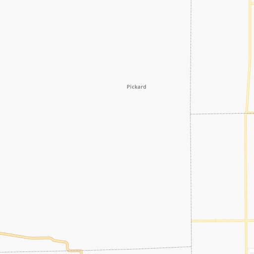
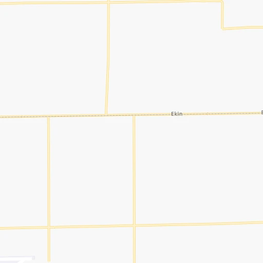
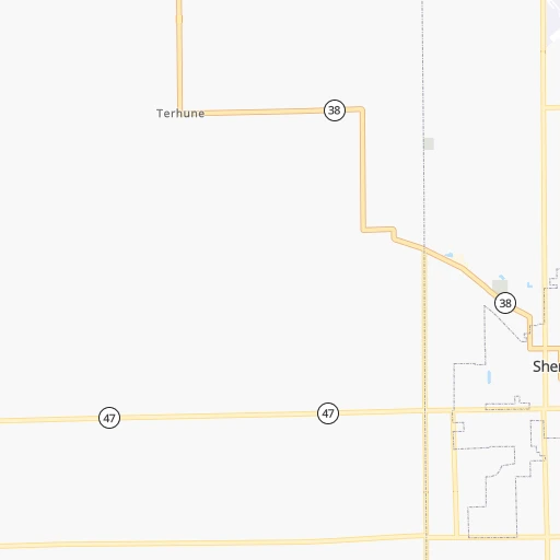
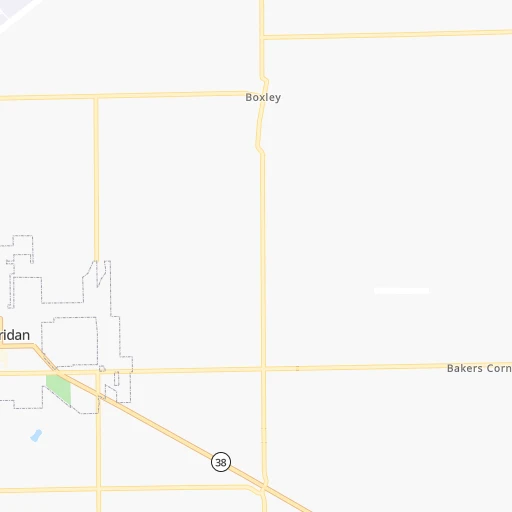
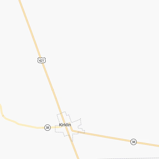
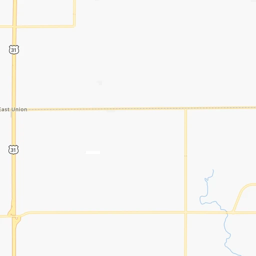
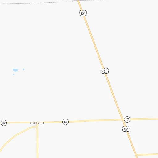
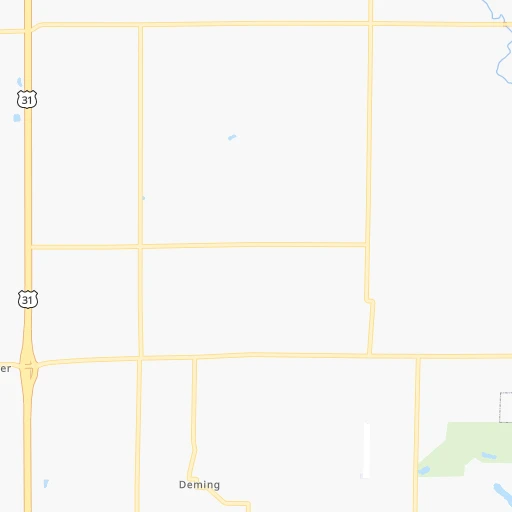
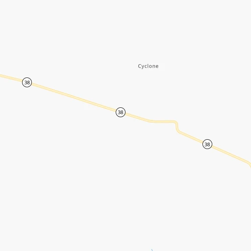
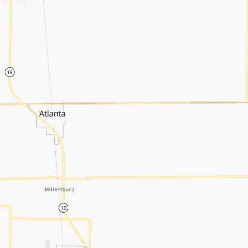
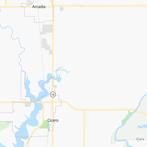
Roadmap (route) to go from Sheridan Airport to Kenosha detailed above, you can also see the course layout on the map.
While doing trip Sheridan (airport) - Kenosha by car, the calculated route ends at a distance , or more straight.
Distance and duration of the route between Sheridan (airport) and Kenosha
Calculation of distance and route from Kenosha to Sheridan (airport) :
298.9351.5 km4h24mn
Continue 0h1mn 193 mTurn right onto Jerkwater Road 0h1mn 1.2 kmTurn left onto West 276th Street 0h2mn 1.6 kmTurn right onto South 1400 East, Hamilton-Clinton Line Road 0h0mn 39 mTurn left onto East County Road 700 South 0h6mn 3.2 kmTurn left onto South County Road 1200 East 0h2mn 812 mTurn right onto South Pike Street 0h6mn 7.1 kmTurn left onto East Jefferson Street 0h14mn 13.8 kmTurn right onto SR 39 0h5mn 5.8 kmTurn left onto East Walnut Street 0h11mn 12.5 kmKeep right 2h42mn 167.9 kmTurn left onto East 5th Avenue 0h2mn 2.6 kmTurn sharp right onto Broadway 0h0mn 157 mTurn left toward I 90 West 0h25mn 34.9 kmKeep left onto Chicago Skyway toward I 90 Express, I 94 Express 0h20mn 25.4 kmKeep right onto Edens Expressway and take I 94 West toward Milwaukee 0h16mn 21.8 kmKeep left onto Skokie Highway 0h7mn 9.5 kmKeep right 0h0mn 260 mTurn slight right onto East Old Elm Road 0h1mn 593 mTurn left onto South Green Bay Road 0h2mn 1.6 kmTurn right onto East Westleigh Road 0h0mn 305 mTurn left onto South Western Avenue 0h2mn 2.0 kmTurn right onto Illinois Road 0h0mn 72 mTurn left onto North McKinley Road 0h3mn 3.1 kmContinue onto Sheridan Road 0h5mn 4.7 kmTurn left onto Martin Luther King Jr. Drive 0h0mn 47 mTurn sharp right onto Sheridan Road 0h1mn 694 mTurn slight right onto Sheridan Road 0h4mn 4.2 kmKeep right and drive toward Grand Avenue 0h0mn 264 mKeep left and drive toward Downtown 0h0mn 38 mTurn left onto Mathon Drive 0h0mn 98 mTurn right onto North Sheridan Road 0h2mn 2.2 kmTurn right onto North Sheridan Road 0h0mn 410 mTurn right onto North Sheridan Road 0h23mn 22.2 kmTurn right onto 56th Street 0h0mn 94 mMake a U-turn onto 56th Street 0h0mn 33 mArrive at destination 0h0mn 0 m
Travel from Sheridan (airport) (Wisconsin) to a selection of major cities.
Distances from Sheridan Airport to biggest cities in Indiana
- Columbus,46,690 inhabitants.112 km
- West Lafayette,45,550 inhabitants.65 km
- Portage,36,738 inhabitants.175 km
- Westfield,36,738 inhabitants.17 km
- New Albany,36,732 inhabitants.213 km
- Richmond,35,854 inhabitants.120 km
- Merrillville,35,224 inhabitants.173 km
- Goshen,32,983 inhabitants.160 km
- Valparaiso,32,626 inhabitants.161 km
- Michigan City,31,459 inhabitants.180 km
- Plainfield,30,590 inhabitants.55 km
- Granger,30,465 inhabitants.176 km
- Marion,29,081 inhabitants.64 km
- Crown Point,28,879 inhabitants.168 km
- Schererville,28,791 inhabitants.178 km
- East Chicago,28,699 inhabitants.193 km
- Hobart,28,404 inhabitants.174 km
- Zionsville,26,296 inhabitants.25 km
- Brownsburg,24,996 inhabitants.40 km
- Franklin,24,598 inhabitants.79 km
Other major cities in country :
- Seattle [WA], 684,451 inhabitants. 2,983 km
- Denver [CO], 682,545 inhabitants. 1,599 km
- El Paso [TX], 681,124 inhabitants. 2,046 km
- Detroit [MI], 677,116 inhabitants. 358 km
- Boston [MA], 667,137 inhabitants. 1,290 km
- Memphis [TN], 655,770 inhabitants. 653 km
- New South Memphis [TN], 641,608 inhabitants. 660 km
- Portland [OR], 632,309 inhabitants. 3,007 km
- Oklahoma City [OK], 631,346 inhabitants. 1,122 km
- Las Vegas [NV], 623,747 inhabitants. 2,558 km
- Baltimore [MD], 621,849 inhabitants. 828 km
- Washington, D.C. [DC], 601,723 inhabitants. 801 km
- Milwaukee [WI], 600,155 inhabitants. 348 km
- South Boston [MA], 571,281 inhabitants. 1,290 km
- Albuquerque [NM], 559,121 inhabitants. 1,883 km
- Tucson [AZ], 531,641 inhabitants. 2,380 km
- Nashville [TN], 530,852 inhabitants. 449 km
- Fresno [CA], 520,052 inhabitants. 2,932 km
- Sacramento [CA], 490,712 inhabitants. 3,020 km
- Kansas City [MO], 475,378 inhabitants. 726 km
Route from Kenosha to major cities (United States).
- Distance Kenosha New York City1,166 km
- Distance Kenosha Los Angeles2,804 km
- Distance Kenosha Chicago83 km
- Distance Kenosha Brooklyn1,173 km
- Distance Kenosha Houston1,578 km
- Distance Kenosha Queens1,181 km
- Distance Kenosha Philadelphia1,098 km
- Distance Kenosha Phoenix2,346 km
- Distance Kenosha Manhattan1,168 km
- Distance Kenosha San Antonio1,749 km
- Distance Kenosha San Diego2,792 km
- Distance Kenosha The Bronx1,174 km
- Distance Kenosha Dallas1,346 km
- Distance Kenosha San Jose2,945 km
- Distance Kenosha Austin1,631 km
- Distance Kenosha Jacksonville1,470 km
- Distance Kenosha San Francisco2,970 km
- Distance Kenosha Columbus498 km
- Distance Kenosha Fort Worth1,378 km
- Distance Kenosha Indianapolis343 km
Nearest cities to Sheridan (airport) :
- Chicago, 2,720,546 inhabitants. 222 km
- Indianapolis, 829,718 inhabitants. 46 km
- Milwaukee, 600,155 inhabitants. 348 km
- Lexington-Fayette, 314,488 inhabitants. 282 km
- Cincinnati, 296,943 inhabitants. 187 km
- Toledo, 279,789 inhabitants. 279 km
- Fort Wayne, 260,326 inhabitants. 141 km
- Louisville, 243,639 inhabitants. 218 km
- Lexington, 225,366 inhabitants. 286 km
- Aurora, 200,661 inhabitants. 249 km
- Grand Rapids, 195,097 inhabitants. 314 km
- Rockford, 148,278 inhabitants. 335 km
- Joliet, 147,861 inhabitants. 217 km
- Naperville, 147,100 inhabitants. 241 km
- Dayton, 140,599 inhabitants. 179 km
- Evansville, 119,943 inhabitants. 271 km
- Ann Arbor, 117,070 inhabitants. 313 km
- Lansing, 115,056 inhabitants. 317 km
- Elgin, 112,111 inhabitants. 270 km
- South Bend, 101,516 inhabitants. 168 km
- Kenosha, 99,858 inhabitants. 299 km
- Flint, 98,310 inhabitants. 380 km
- Livonia, 94,635 inhabitants. 342 km
- Carmel, 88,713 inhabitants. 24 km
- Waukegan, 88,475 inhabitants. 279 km
- Canton, 86,825 inhabitants. 330 km
- West Town, 86,429 inhabitants. 227 km
- Champaign, 86,096 inhabitants. 172 km
- Near North Side, 85,711 inhabitants. 225 km
- Bloomington, 84,067 inhabitants. 116 km
- Cicero, 83,886 inhabitants. 226 km
- Westland, 82,000 inhabitants. 336 km
- Farmington Hills, 81,330 inhabitants. 350 km
- Belmont Cragin, 79,159 inhabitants. 235 km
- Bloomington, 78,292 inhabitants. 238 km
- Racine, 77,742 inhabitants. 312 km
- Hammond, 77,614 inhabitants. 190 km
- Gary, 77,156 inhabitants. 184 km
- Fishers, 76,794 inhabitants. 30 km
- Kalamazoo, 76,041 inhabitants. 241 km
- Arlington Heights, 75,926 inhabitants. 259 km
- Waterford, 75,737 inhabitants. 365 km
- Evanston, 75,527 inhabitants. 241 km
- Wyoming, 75,275 inhabitants. 308 km
- Schaumburg, 74,693 inhabitants. 259 km
- Bolingbrook, 74,306 inhabitants. 230 km
- South Lawndale, 73,826 inhabitants. 224 km
- Logan Square, 73,702 inhabitants. 231 km
- Decatur, 73,254 inhabitants. 236 km
- Southfield, 73,156 inhabitants. 358 km
Location Sheridan (airport) (Indiana) :
| Country flag |  |
| Location | Sheridan (airport) |
| State | Indiana |
| County | Hamilton County |
| Country | United States |
| Country code / ISO 2 | US |
| Latitude | 40.1775000 |
| Longitude | -86.2211000 |
| Altitude | 286 meters |
| Time zone | America/Indiana/Indianapolis |
Location Kenosha (Wisconsin) :
| Country flag | |
| Location | Kenosha |
| State | Wisconsin |
| County | Kenosha County |
| Country | United States |
| Country code / ISO 2 | US |
| Latitude | 42.5847400 |
| Longitude | -87.8211900 |
| Altitude | 184 meters |
| Time zone | America/Chicago |