

How to get from Dick Drosts Naked City (airport) (Indiana) to Waukesha (Wisconsin)
Calculate route from Dick Drosts Naked City (airport) (Indiana, United States) to Waukesha (Wisconsin, United States).
The flight distance (as the crow flies) between Dick Drosts Naked City (airport) and Waukesha is 220.6 km.
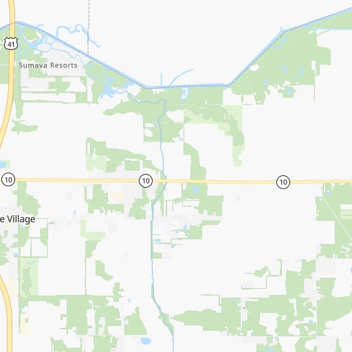
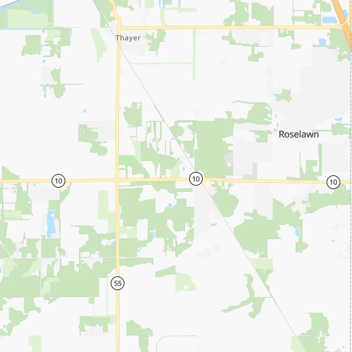
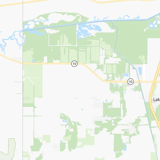
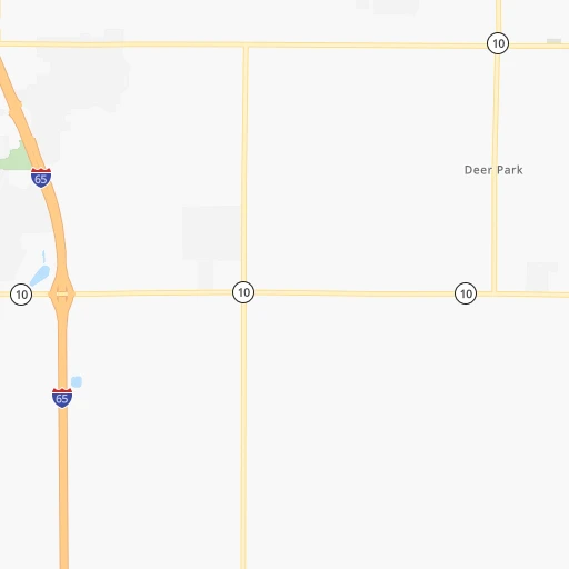
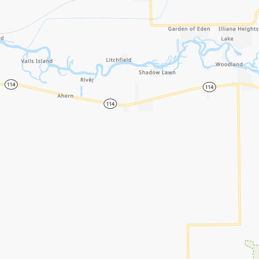
Roadmap (route) to go from Dick Drosts Naked City Airport to Waukesha detailed above, you can also see the course layout on the map.
While doing trip Dick Drosts Naked City (airport) - Waukesha by car, the calculated route ends at a distance , or more straight.
Distance and duration of the route between Dick Drosts Naked City (airport) and Waukesha
Calculation of distance and route from Waukesha to Dick Drosts Naked City (airport) :
220.6251.6 km3h29mn
Continue 0h1mn 444 mTurn left 0h0mn 128 mTurn left onto SR 10 0h8mn 10.7 kmTurn sharp right onto US 41 1h32mn 40.3 kmTurn slight right onto Indianapolis Boulevard 0h5mn 4.0 kmTurn right onto Indianapolis Boulevard 0h1mn 999 mTurn slight right onto Indianapolis Boulevard 0h0mn 410 mTurn right onto Indianapolis Boulevard 0h3mn 2.7 kmContinue onto Indianapolis Boulevard 0h3mn 2.9 kmTurn left onto Summer Street 0h2mn 1.6 kmContinue onto Summer Street 0h0mn 340 mTurn right onto Columbia Avenue 0h4mn 3.2 kmTurn left onto 141st Street 0h0mn 310 mTurn right and take I 90 West toward Toll Road, Chicago 0h16mn 19.1 kmKeep left onto Chicago Skyway toward I 90 Express, I 94 Express 0h20mn 25.4 kmKeep right onto Edens Expressway and take I 94 West toward Milwaukee 0h16mn 21.8 kmKeep left onto Skokie Highway 0h24mn 30.6 kmContinue onto North Skokie Highway 1h32mn 49.4 kmKeep right and drive toward Seven Mile Road 0h0mn 540 mKeep left toward I 41 Alternate, I 94 Alternate 0h0mn 84 mTurn left onto 7 Mile Road 0h0mn 267 mKeep left 0h0mn 134 mTurn right 0h0mn 176 mContinue 0h5mn 4.1 kmTurn right onto County Highway U 0h5mn 4.8 kmTurn left onto West Ryan Road 0h3mn 3.5 kmTurn left onto West Saint Martins Road 0h9mn 6.7 kmTurn left onto West College Avenue 0h6mn 4.9 kmKeep right 0h0mn 272 mAt roundabout, take exit 2 onto South Racine Avenue 0h0mn 201 mAt roundabout, take exit 1 onto South Racine Avenue 0h11mn 10.4 kmTurn left onto East Broadway 0h1mn 726 mTurn right onto West Broadway 0h0mn 178 mTurn slight left onto South Street 0h0mn 71 mTurn right onto Gaspar Street 0h0mn 33 mTurn left onto West Broadway 0h0mn 141 mTurn sharp right onto West Main Street 0h0mn 18 mArrive at destination 0h0mn 0 m
Travel from Dick Drosts Naked City (airport) (Wisconsin) to a selection of major cities.
Distances from Dick Drosts Naked City Airport to biggest cities in Indiana
- Columbus,46,690 inhabitants.247 km
- West Lafayette,45,550 inhabitants.87 km
- Portage,36,738 inhabitants.50 km
- Westfield,36,738 inhabitants.159 km
- New Albany,36,732 inhabitants.343 km
- Richmond,35,854 inhabitants.253 km
- Merrillville,35,224 inhabitants.38 km
- Goshen,32,983 inhabitants.134 km
- Valparaiso,32,626 inhabitants.43 km
- Michigan City,31,459 inhabitants.73 km
- Plainfield,30,590 inhabitants.178 km
- Granger,30,465 inhabitants.122 km
- Marion,29,081 inhabitants.155 km
- Crown Point,28,879 inhabitants.31 km
- Schererville,28,791 inhabitants.39 km
- East Chicago,28,699 inhabitants.56 km
- Hobart,28,404 inhabitants.44 km
- Zionsville,26,296 inhabitants.160 km
- Brownsburg,24,996 inhabitants.165 km
- Franklin,24,598 inhabitants.214 km
Other major cities in country :
- Seattle [WA], 684,451 inhabitants. 2,850 km
- Denver [CO], 682,545 inhabitants. 1,501 km
- El Paso [TX], 681,124 inhabitants. 2,002 km
- Detroit [MI], 677,116 inhabitants. 380 km
- Boston [MA], 667,137 inhabitants. 1,356 km
- Memphis [TN], 655,770 inhabitants. 708 km
- New South Memphis [TN], 641,608 inhabitants. 715 km
- Portland [OR], 632,309 inhabitants. 2,879 km
- Oklahoma City [OK], 631,346 inhabitants. 1,090 km
- Las Vegas [NV], 623,747 inhabitants. 2,468 km
- Baltimore [MD], 621,849 inhabitants. 933 km
- Washington, D.C. [DC], 601,723 inhabitants. 912 km
- Milwaukee [WI], 600,155 inhabitants. 216 km
- South Boston [MA], 571,281 inhabitants. 1,357 km
- Albuquerque [NM], 559,121 inhabitants. 1,817 km
- Tucson [AZ], 531,641 inhabitants. 2,319 km
- Nashville [TN], 530,852 inhabitants. 556 km
- Fresno [CA], 520,052 inhabitants. 2,834 km
- Sacramento [CA], 490,712 inhabitants. 2,914 km
- Kansas City [MO], 475,378 inhabitants. 657 km
Route from Waukesha to major cities (United States).
- Distance Waukesha New York City1,205 km
- Distance Waukesha Los Angeles2,779 km
- Distance Waukesha Chicago138 km
- Distance Waukesha Brooklyn1,212 km
- Distance Waukesha Houston1,606 km
- Distance Waukesha Queens1,220 km
- Distance Waukesha Philadelphia1,140 km
- Distance Waukesha Phoenix2,330 km
- Distance Waukesha Manhattan1,206 km
- Distance Waukesha San Antonio1,768 km
- Distance Waukesha San Diego2,771 km
- Distance Waukesha The Bronx1,212 km
- Distance Waukesha Dallas1,364 km
- Distance Waukesha San Jose2,911 km
- Distance Waukesha Austin1,651 km
- Distance Waukesha Jacksonville1,527 km
- Distance Waukesha San Francisco2,935 km
- Distance Waukesha Columbus553 km
- Distance Waukesha Fort Worth1,394 km
- Distance Waukesha Indianapolis400 km
Nearest cities to Dick Drosts Naked City (airport) :
- Chicago, 2,720,546 inhabitants. 83 km
- Indianapolis, 829,718 inhabitants. 182 km
- Milwaukee, 600,155 inhabitants. 216 km
- St. Louis, 315,685 inhabitants. 372 km
- Cincinnati, 296,943 inhabitants. 328 km
- Fort Wayne, 260,326 inhabitants. 185 km
- Madison, 248,951 inhabitants. 275 km
- Louisville, 243,639 inhabitants. 348 km
- Aurora, 200,661 inhabitants. 108 km
- Grand Rapids, 195,097 inhabitants. 245 km
- Rockford, 148,278 inhabitants. 193 km
- Joliet, 147,861 inhabitants. 76 km
- Naperville, 147,100 inhabitants. 99 km
- Springfield, 116,565 inhabitants. 246 km
- Peoria, 115,070 inhabitants. 196 km
- Lansing, 115,056 inhabitants. 290 km
- North Peoria, 113,004 inhabitants. 195 km
- Elgin, 112,111 inhabitants. 127 km
- South Bend, 101,516 inhabitants. 108 km
- Kenosha, 99,858 inhabitants. 166 km
- Carmel, 88,713 inhabitants. 165 km
- Waukegan, 88,475 inhabitants. 143 km
- West Town, 86,429 inhabitants. 88 km
- Champaign, 86,096 inhabitants. 138 km
- Near North Side, 85,711 inhabitants. 88 km
- Bloomington, 84,067 inhabitants. 230 km
- Cicero, 83,886 inhabitants. 86 km
- Belmont Cragin, 79,159 inhabitants. 95 km
- Bloomington, 78,292 inhabitants. 158 km
- Racine, 77,742 inhabitants. 180 km
- Hammond, 77,614 inhabitants. 51 km
- Gary, 77,156 inhabitants. 50 km
- Fishers, 76,794 inhabitants. 173 km
- Kalamazoo, 76,041 inhabitants. 193 km
- Arlington Heights, 75,926 inhabitants. 118 km
- Evanston, 75,527 inhabitants. 104 km
- Wyoming, 75,275 inhabitants. 239 km
- Schaumburg, 74,693 inhabitants. 117 km
- Bolingbrook, 74,306 inhabitants. 87 km
- South Lawndale, 73,826 inhabitants. 84 km
- Logan Square, 73,702 inhabitants. 92 km
- Decatur, 73,254 inhabitants. 200 km
- West Ridge, 72,211 inhabitants. 100 km
- Waukesha, 71,970 inhabitants. 221 km
- Lafayette, 71,111 inhabitants. 89 km
- Muncie, 70,087 inhabitants. 195 km
- Palatine, 69,308 inhabitants. 123 km
- Lincoln Park, 66,959 inhabitants. 91 km
- Oshkosh, 66,555 inhabitants. 336 km
- Portage Park, 64,841 inhabitants. 98 km
Location Dick Drosts Naked City (airport) (Indiana) :
| Country flag |  |
| Location | Dick Drosts Naked City (airport) |
| State | Indiana |
| County | Newton County |
| Country | United States |
| Country code / ISO 2 | US |
| Latitude | 41.1419800 |
| Longitude | -87.3305900 |
| Altitude | 206 meters |
| Time zone | America/Chicago |
Location Waukesha (Wisconsin) :
| Country flag | |
| Location | Waukesha |
| State | Wisconsin |
| County | Waukesha County |
| Country | United States |
| Country code / ISO 2 | US |
| Latitude | 43.0116800 |
| Longitude | -88.2314800 |
| Altitude | 248 meters |
| Time zone | America/Chicago |


