


How to get from William L Rutherford (airport) (Illinois) to Manhattan (New York)
Calculate route from William L Rutherford (airport) (Illinois, United States) to Manhattan (New York, United States).
The flight distance (as the crow flies) between William L Rutherford (airport) and Manhattan is 1,327.5 km.
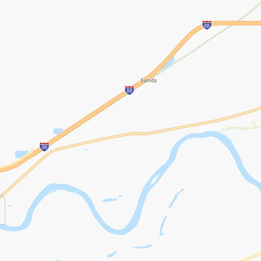
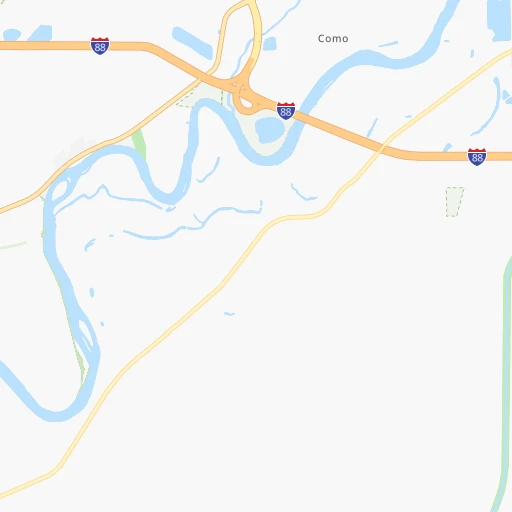
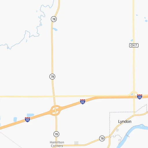
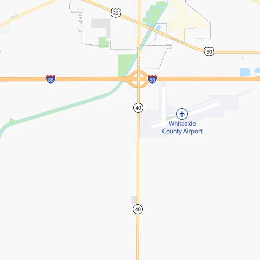
Roadmap (route) to go from William L Rutherford Airport to Manhattan detailed above, you can also see the course layout on the map.
While doing trip William L Rutherford (airport) - Manhattan by car, the calculated route ends at a distance , or more straight.
Distance and duration of the route between William L Rutherford (airport) and Manhattan
Calculation of distance and route from Manhattan to William L Rutherford (airport) :
1,327.51,461.6 km15h24mn
Continue onto Matznick Road 0h1mn 668 mTurn right onto Prophet Road 0h14mn 11.9 kmTurn right onto West Rock Falls Road 0h6mn 7.1 kmTurn left 0h11mn 19.1 kmKeep left onto Ronald Reagan Memorial Tollway 1h9mn 113.7 kmKeep right and drive toward Wheaton, Lisle, Naperville 0h1mn 609 mKeep left and drive toward Freedom Drive 0h1mn 499 mTurn right onto Warrenville Road 0h1mn 578 mTurn slight right onto Warrenville Road 0h3mn 2.9 kmTurn right onto Warrenville Road 0h3mn 3.6 kmTurn left onto Ogden Avenue 0h7mn 5.9 kmTurn right onto East Ogden Avenue 0h0mn 281 mTurn right onto East Ogden Avenue 0h0mn 121 mTurn slight right onto East Ogden Avenue 0h4mn 3.9 kmKeep right and take I 294 South Toll toward Indiana 0h21mn 30.3 kmKeep right and take IL 83 toward 147th Street, Sibley Boulevard 0h1mn 728 mKeep left and take IL 83 toward 147th Street, Sibley Boulevard 0h9mn 9.3 kmContinue onto East Sibley Boulevard 0h5mn 5.1 kmTurn left onto Hohman Avenue 0h0mn 427 mTurn right onto Michigan Street 0h15mn 15.7 kmTurn left onto Broadway 0h0mn 313 mTurn sharp right toward I 90 East 6h43mn 578.9 kmKeep right onto I 80 toward I 80 East 0h1mn 1.5 kmKeep left onto I 80 and take I 80 East, CR 18 toward Youngstown, Mahoning Avenue 0h0mn 405 mKeep left onto I 80 and take I 80 East toward Youngstown 0h5mn 7.2 kmKeep left onto I 80 3h44mn 277.1 kmKeep left onto I 80 2h27mn 236.7 kmKeep right and take PA 611 toward Park Avenue 0h0mn 320 mKeep right 0h0mn 29 mTurn slight right onto Park Avenue 0h4mn 4.1 kmContinue onto Foxtown Hill Road 1h56mn 88.2 kmKeep right and take US 46 East toward Wayne, Clifton, Lincoln Tunnel 0h18mn 23.0 kmKeep left and take NJ 495 East toward Lincoln Tunnel 0h3mn 3.9 kmKeep right onto Lincoln Tunnel 0h3mn 2.6 kmKeep left and drive toward 42nd Street 0h0mn 414 mTurn left onto West 42nd Street 0h0mn 148 mTurn right onto 10th Avenue 0h5mn 3.6 kmTurn right onto West 86th Street 0h1mn 868 mArrive at destination 0h0mn 0 m
Travel from William L Rutherford (airport) (New York) to a selection of major cities.
Distances from William L Rutherford Airport to biggest cities in Illinois
- South Lawndale,73,826 inhabitants.176 km
- Logan Square,73,702 inhabitants.178 km
- Decatur,73,254 inhabitants.220 km
- West Ridge,72,211 inhabitants.180 km
- Palatine,69,308 inhabitants.156 km
- Lincoln Park,66,959 inhabitants.183 km
- Portage Park,64,841 inhabitants.174 km
- Skokie,64,821 inhabitants.178 km
- Des Plaines,58,677 inhabitants.165 km
- Orland Park,58,619 inhabitants.164 km
- Tinley Park,57,143 inhabitants.171 km
- Oak Lawn,56,781 inhabitants.172 km
- Irving Park,56,520 inhabitants.176 km
- Berwyn,56,368 inhabitants.170 km
- Chicago Lawn,55,551 inhabitants.177 km
- Uptown,55,137 inhabitants.183 km
- Edgewater,54,873 inhabitants.182 km
- Mount Prospect,54,747 inhabitants.162 km
- Rogers Park,54,402 inhabitants.183 km
- Normal,54,373 inhabitants.150 km
Other major cities in country :
- Seattle [WA], 684,451 inhabitants. 2,635 km
- Denver [CO], 682,545 inhabitants. 1,295 km
- El Paso [TX], 681,124 inhabitants. 1,848 km
- Detroit [MI], 677,116 inhabitants. 565 km
- Boston [MA], 667,137 inhabitants. 1,551 km
- Memphis [TN], 655,770 inhabitants. 730 km
- New South Memphis [TN], 641,608 inhabitants. 737 km
- Portland [OR], 632,309 inhabitants. 2,662 km
- Oklahoma City [OK], 631,346 inhabitants. 963 km
- Las Vegas [NV], 623,747 inhabitants. 2,267 km
- Baltimore [MD], 621,849 inhabitants. 1,149 km
- Washington, D.C. [DC], 601,723 inhabitants. 1,129 km
- Milwaukee [WI], 600,155 inhabitants. 217 km
- South Boston [MA], 571,281 inhabitants. 1,552 km
- Albuquerque [NM], 559,121 inhabitants. 1,638 km
- Tucson [AZ], 531,641 inhabitants. 2,145 km
- Nashville [TN], 530,852 inhabitants. 670 km
- Fresno [CA], 520,052 inhabitants. 2,626 km
- Sacramento [CA], 490,712 inhabitants. 2,702 km
- Kansas City [MO], 475,378 inhabitants. 496 km
Route from Manhattan to major cities (United States).
- Distance Manhattan Los Angeles3,943 km
- Distance Manhattan Chicago1,149 km
- Distance Manhattan Houston2,290 km
- Distance Manhattan Philadelphia137 km
- Distance Manhattan Phoenix3,451 km
- Distance Manhattan San Antonio2,554 km
- Distance Manhattan San Diego3,915 km
- Distance Manhattan Dallas2,214 km
- Distance Manhattan San Jose4,109 km
- Distance Manhattan Austin2,440 km
- Distance Manhattan Jacksonville1,355 km
- Distance Manhattan San Francisco4,135 km
- Distance Manhattan Columbus771 km
- Distance Manhattan Fort Worth2,259 km
- Distance Manhattan Indianapolis1,041 km
- Distance Manhattan Charlotte863 km
- Distance Manhattan Seattle3,869 km
- Distance Manhattan Denver2,624 km
- Distance Manhattan El Paso3,066 km
- Distance Manhattan Detroit775 km
Nearest cities to William L Rutherford (airport) :
- Chicago, 2,720,546 inhabitants. 182 km
- Milwaukee, 600,155 inhabitants. 217 km
- Madison, 248,951 inhabitants. 157 km
- Aurora, 200,661 inhabitants. 126 km
- Rockford, 148,278 inhabitants. 88 km
- Joliet, 147,861 inhabitants. 147 km
- Naperville, 147,100 inhabitants. 140 km
- Cedar Rapids, 130,405 inhabitants. 154 km
- Columbia, 119,108 inhabitants. 373 km
- Springfield, 116,565 inhabitants. 212 km
- Peoria, 115,070 inhabitants. 114 km
- North Peoria, 113,004 inhabitants. 111 km
- Rochester, 112,225 inhabitants. 336 km
- Elgin, 112,111 inhabitants. 134 km
- Green Bay, 105,207 inhabitants. 346 km
- Davenport, 102,582 inhabitants. 65 km
- Kenosha, 99,858 inhabitants. 193 km
- Waukegan, 88,475 inhabitants. 180 km
- West Town, 86,429 inhabitants. 180 km
- Champaign, 86,096 inhabitants. 221 km
- Near North Side, 85,711 inhabitants. 183 km
- O'Fallon, 85,040 inhabitants. 330 km
- Cicero, 83,886 inhabitants. 173 km
- Belmont Cragin, 79,159 inhabitants. 173 km
- Bloomington, 78,292 inhabitants. 153 km
- Racine, 77,742 inhabitants. 204 km
- Hammond, 77,614 inhabitants. 194 km
- Gary, 77,156 inhabitants. 207 km
- Arlington Heights, 75,926 inhabitants. 159 km
- Evanston, 75,527 inhabitants. 181 km
- Schaumburg, 74,693 inhabitants. 149 km
- Bolingbrook, 74,306 inhabitants. 146 km
- Iowa City, 74,220 inhabitants. 142 km
- Appleton, 74,139 inhabitants. 307 km
- South Lawndale, 73,826 inhabitants. 176 km
- Logan Square, 73,702 inhabitants. 178 km
- Decatur, 73,254 inhabitants. 220 km
- West Ridge, 72,211 inhabitants. 180 km
- Waukesha, 71,970 inhabitants. 196 km
- Lafayette, 71,111 inhabitants. 286 km
- Palatine, 69,308 inhabitants. 156 km
- Waterloo, 68,460 inhabitants. 226 km
- Lincoln Park, 66,959 inhabitants. 183 km
- Oshkosh, 66,555 inhabitants. 279 km
- Saint Charles, 65,794 inhabitants. 329 km
- Portage Park, 64,841 inhabitants. 174 km
- Skokie, 64,821 inhabitants. 178 km
- Janesville, 64,123 inhabitants. 128 km
- Terre Haute, 60,825 inhabitants. 322 km
- West Allis, 60,620 inhabitants. 210 km
Location William L Rutherford (airport) (Illinois) :
| Country flag |  |
| Location | William L Rutherford (airport) |
| State | Illinois |
| County | Whiteside County |
| Country | United States |
| Country code / ISO 2 | US |
| Latitude | 41.7014200 |
| Longitude | -89.8290000 |
| Altitude | 191 meters |
| Time zone | America/Chicago |
Location Manhattan (New York) :
| Country flag | |
| Location | Manhattan |
| State | New York |
| County | New York County |
| Country | United States |
| Country code / ISO 2 | US |
| Latitude | 40.7834300 |
| Longitude | -73.9662500 |
| Altitude | 35 meters |
| Time zone | America/New_York |


