
How to get from Snow RLA (airport) (Illinois) to Aurora (Illinois)
Calculate route from Snow RLA (airport) (Illinois, United States) to Aurora (Illinois, United States).
The flight distance (as the crow flies) between Snow RLA (airport) and Aurora is 141.8 km.
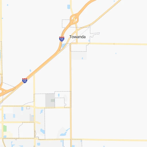
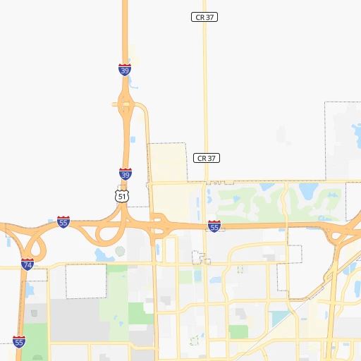
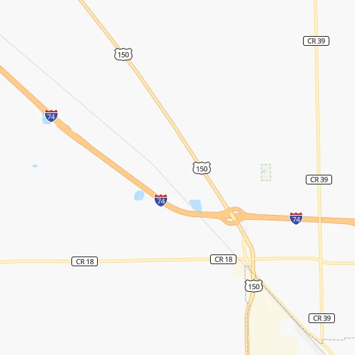
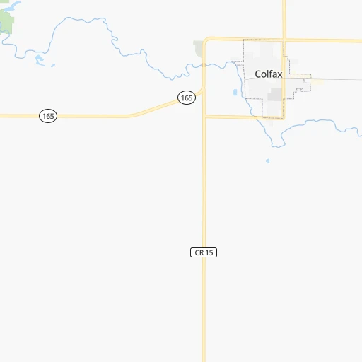
Roadmap (route) to go from Snow RLA Airport to Aurora detailed above, you can also see the course layout on the map.
While doing trip Snow RLA (airport) - Aurora by car, the calculated route ends at a distance , or more straight.
Distance and duration of the route between Snow RLA (airport) and Aurora
Calculation of distance and route from Aurora to Snow RLA (airport) :
141.8159.0 km2h7mn
Continue 0h1mn 249 mTurn right onto North 2300 East Road 0h0mn 182 mKeep left onto North 2300 East Road 0h12mn 6.6 kmTurn left onto East 2200 North Road 0h1mn 405 mTurn right onto North 2275 East Road 0h1mn 626 mTurn right onto Old Route 66 0h14mn 17.5 kmTurn sharp left onto West Cemetery Avenue 0h0mn 424 mTurn left and take I 55 North toward Joliet 1h32mn 53.7 kmKeep right and take IL 47 toward Morris, Dwight 0h0mn 580 mTurn left onto IL 47 1h43mn 51.5 kmTurn right onto Walker Road 0h2mn 2.4 kmTurn left onto Ashley Road 0h3mn 4.5 kmTurn sharp right onto East Schoolhouse Road 0h1mn 727 mTurn left onto Minkler Road 0h6mn 6.9 kmContinue onto Orchard Road 0h1mn 1.2 kmTurn right onto US 34 0h10mn 11.4 kmTurn left onto West Galena Boulevard 0h0mn 175 mArrive at destination 0h0mn 0 m
Travel from Snow RLA (airport) (Illinois) to a selection of major cities.
Distances from Snow RLA Airport to biggest cities in Illinois
- South Lawndale,73,826 inhabitants.172 km
- Logan Square,73,702 inhabitants.180 km
- Decatur,73,254 inhabitants.79 km
- West Ridge,72,211 inhabitants.188 km
- Palatine,69,308 inhabitants.187 km
- Lincoln Park,66,959 inhabitants.182 km
- Portage Park,64,841 inhabitants.181 km
- Skokie,64,821 inhabitants.189 km
- Des Plaines,58,677 inhabitants.184 km
- Orland Park,58,619 inhabitants.146 km
- Tinley Park,57,143 inhabitants.144 km
- Oak Lawn,56,781 inhabitants.158 km
- Irving Park,56,520 inhabitants.182 km
- Berwyn,56,368 inhabitants.169 km
- Chicago Lawn,55,551 inhabitants.167 km
- Uptown,55,137 inhabitants.186 km
- Edgewater,54,873 inhabitants.187 km
- Mount Prospect,54,747 inhabitants.185 km
- Rogers Park,54,402 inhabitants.190 km
- Normal,54,373 inhabitants.15 km
Other major cities in country :
- Seattle [WA], 684,451 inhabitants. 2,769 km
- Denver [CO], 682,545 inhabitants. 1,376 km
- El Paso [TX], 681,124 inhabitants. 1,859 km
- Detroit [MI], 677,116 inhabitants. 521 km
- Boston [MA], 667,137 inhabitants. 1,493 km
- Memphis [TN], 655,770 inhabitants. 610 km
- New South Memphis [TN], 641,608 inhabitants. 617 km
- Portland [OR], 632,309 inhabitants. 2,788 km
- Oklahoma City [OK], 631,346 inhabitants. 948 km
- Las Vegas [NV], 623,747 inhabitants. 2,339 km
- Baltimore [MD], 621,849 inhabitants. 1,051 km
- Washington, D.C. [DC], 601,723 inhabitants. 1,025 km
- Milwaukee [WI], 600,155 inhabitants. 288 km
- South Boston [MA], 571,281 inhabitants. 1,494 km
- Albuquerque [NM], 559,121 inhabitants. 1,678 km
- Tucson [AZ], 531,641 inhabitants. 2,179 km
- Nashville [TN], 530,852 inhabitants. 518 km
- Fresno [CA], 520,052 inhabitants. 2,710 km
- Sacramento [CA], 490,712 inhabitants. 2,796 km
- Kansas City [MO], 475,378 inhabitants. 518 km
Route from Aurora to major cities (United States).
- Distance Aurora New York City1,202 km
- Distance Aurora Los Angeles2,749 km
- Distance Aurora Brooklyn1,208 km
- Distance Aurora Houston1,478 km
- Distance Aurora Queens1,217 km
- Distance Aurora Philadelphia1,125 km
- Distance Aurora Phoenix2,280 km
- Distance Aurora Manhattan1,204 km
- Distance Aurora San Antonio1,651 km
- Distance Aurora San Diego2,731 km
- Distance Aurora The Bronx1,211 km
- Distance Aurora Dallas1,249 km
- Distance Aurora San Jose2,905 km
- Distance Aurora Austin1,533 km
- Distance Aurora Jacksonville1,405 km
- Distance Aurora San Francisco2,932 km
- Distance Aurora Columbus491 km
- Distance Aurora Fort Worth1,282 km
- Distance Aurora Indianapolis287 km
- Distance Aurora Charlotte976 km
Nearest cities to Snow RLA (airport) :
- Chicago, 2,720,546 inhabitants. 176 km
- Indianapolis, 829,718 inhabitants. 242 km
- Milwaukee, 600,155 inhabitants. 288 km
- St. Louis, 315,685 inhabitants. 244 km
- Madison, 248,951 inhabitants. 286 km
- Aurora, 200,661 inhabitants. 142 km
- Rockford, 148,278 inhabitants. 194 km
- Joliet, 147,861 inhabitants. 126 km
- Naperville, 147,100 inhabitants. 150 km
- Cedar Rapids, 130,405 inhabitants. 287 km
- Evansville, 119,943 inhabitants. 306 km
- Springfield, 116,565 inhabitants. 108 km
- Peoria, 115,070 inhabitants. 67 km
- North Peoria, 113,004 inhabitants. 67 km
- Elgin, 112,111 inhabitants. 173 km
- Davenport, 102,582 inhabitants. 184 km
- South Bend, 101,516 inhabitants. 250 km
- Kenosha, 99,858 inhabitants. 242 km
- Carmel, 88,713 inhabitants. 238 km
- Waukegan, 88,475 inhabitants. 219 km
- West Town, 86,429 inhabitants. 179 km
- Champaign, 86,096 inhabitants. 68 km
- Near North Side, 85,711 inhabitants. 181 km
- O'Fallon, 85,040 inhabitants. 251 km
- Bloomington, 84,067 inhabitants. 249 km
- Cicero, 83,886 inhabitants. 171 km
- Belmont Cragin, 79,159 inhabitants. 178 km
- Bloomington, 78,292 inhabitants. 16 km
- Racine, 77,742 inhabitants. 258 km
- Hammond, 77,614 inhabitants. 160 km
- Gary, 77,156 inhabitants. 170 km
- Fishers, 76,794 inhabitants. 247 km
- Arlington Heights, 75,926 inhabitants. 186 km
- Evanston, 75,527 inhabitants. 192 km
- Schaumburg, 74,693 inhabitants. 177 km
- Bolingbrook, 74,306 inhabitants. 143 km
- Iowa City, 74,220 inhabitants. 259 km
- South Lawndale, 73,826 inhabitants. 172 km
- Logan Square, 73,702 inhabitants. 180 km
- Decatur, 73,254 inhabitants. 79 km
- West Ridge, 72,211 inhabitants. 188 km
- Waukesha, 71,970 inhabitants. 279 km
- Lafayette, 71,111 inhabitants. 165 km
- Palatine, 69,308 inhabitants. 187 km
- Lincoln Park, 66,959 inhabitants. 182 km
- Saint Charles, 65,794 inhabitants. 242 km
- Portage Park, 64,841 inhabitants. 181 km
- Skokie, 64,821 inhabitants. 189 km
- Janesville, 64,123 inhabitants. 239 km
- Terre Haute, 60,825 inhabitants. 169 km
Location Snow RLA (airport) (Illinois) :
| Country flag |  |
| Location | Snow RLA (airport) |
| State | Illinois |
| County | McLean County |
| Country | United States |
| Country code / ISO 2 | US |
| Latitude | 40.5414200 |
| Longitude | -88.8214600 |
| Altitude | 244 meters |
| Time zone | America/Chicago |
Location Aurora (Illinois) :
| Country flag | |
| Location | Aurora |
| State | Illinois |
| County | Kane County |
| Country | United States |
| Country code / ISO 2 | US |
| Latitude | 41.7605800 |
| Longitude | -88.3200700 |
| Altitude | 207 meters |
| Time zone | America/Chicago |


