
How to get from Rock Cut Farms (airport) (Illinois) to Fresno (California)
Calculate route from Rock Cut Farms (airport) (Illinois, United States) to Fresno (California, United States).
The flight distance (as the crow flies) between Rock Cut Farms (airport) and Fresno is 2,654.6 km.
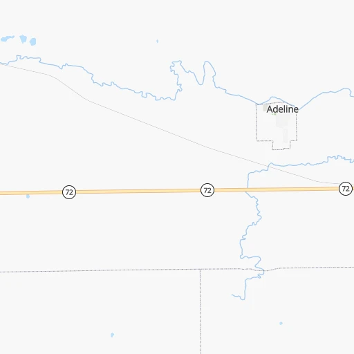
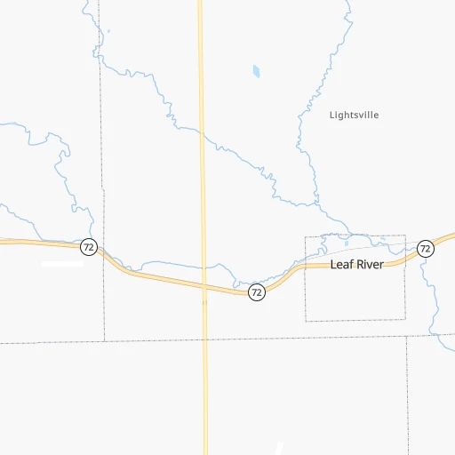
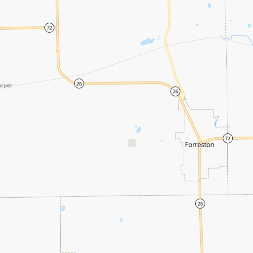
Roadmap (route) to go from Rock Cut Farms Airport to Fresno detailed above, you can also see the course layout on the map.
While doing trip Rock Cut Farms (airport) - Fresno by car, the calculated route ends at a distance , or more straight.
Distance and duration of the route between Rock Cut Farms (airport) and Fresno
Calculation of distance and route from Fresno to Rock Cut Farms (airport) :
2,654.63,228.8 km34h53mn
Continue 0h2mn 531 mTurn right onto IL 72 0h2mn 2.1 kmTurn right onto North Mount Morris Road 0h8mn 8.1 kmTurn right onto East Hitt Street 0h1mn 763 mTurn left onto North Reynolds Avenue 0h26mn 25.9 kmTurn right onto Palmyra Street 0h14mn 18.7 kmContinue onto West 4th Street 0h1mn 793 mTurn left onto Avenue G 0h2mn 1.5 kmTurn right onto Prophetstown Road 0h1mn 992 mTurn right onto West Rock Falls Road 0h4mn 5.4 kmTurn left onto Lincoln Road 0h1mn 889 mKeep right and take I 88 West toward Moline, Rock Island 1h34mn 57.3 kmKeep right and take I 80 toward Des Moines 0h1mn 593 mKeep right 3h41mn 269.3 kmKeep right onto US 6 and take US 6 West, US 65 North, IA 330 North toward Marshalltown, Bondurant 0h1mn 755 mTurn left onto Northeast Hubbell Avenue 0h6mn 6.1 kmContinue onto Hubbell Avenue 0h0mn 240 mTurn slight right onto Hubbell Avenue 0h2mn 2.0 kmTurn right onto Guthrie Avenue 0h1mn 1.0 kmTurn left 2h6mn 209.1 kmKeep left onto I 80 Express and take I 80 West Express toward Council Bluffs, Omaha 5h21mn 570.8 kmKeep left onto I 80 and take I 80 West toward Sidney, Cheyanne 9h35mn 931.0 kmKeep right and take I 15 South, UT 201 West toward Las Vegas, West Valley 0h1mn 733 mKeep left and take I 15 South, UT 201 West toward Las Vegas, West Valley 0h0mn 273 mKeep right and take UT 201 West toward West Valley 0h1mn 999 mKeep left and take UT 201 West toward West Valley 2h43mn 190.5 kmKeep right and drive toward Wendover 0h0mn 295 mTurn left onto Aria Boulevard 0h0mn 287 mTurn sharp right onto Wendover Boulevard 0h1mn 1.2 kmTurn left onto US 93 ALT 1h56mn 94.7 kmContinue onto Great Basin Highway 1h2mn 95.5 kmTurn left onto Great Basin Boulevard 0h1mn 1.2 kmTurn right onto Veterans Boulevard 3h41mn 270.2 kmKeep right onto US 6 1h40mn 65.5 kmTurn left onto Grand Army of the Republic Highway 1h59mn 65.3 kmTurn right onto Mono Mills Road 1h5mn 65.5 kmTurn sharp right onto Test Station Road 0h2mn 1.2 kmTurn left onto Test Station Road 0h12mn 6.1 kmTurn left onto Picnic Grounds Road 0h3mn 1.7 kmTurn right onto Highway 395 0h1mn 1.3 kmTurn left onto Tioga Road 2h31mn 94.2 kmTurn left onto Big Oak Flat Road 0h19mn 15.3 kmTurn left onto Northside Drive 0h4mn 2.9 kmKeep right onto Wawona Road 1h43mn 42.1 kmAt roundabout, take exit 1 onto Wawona Road 1h15mn 95.0 kmKeep right and drive toward McKinley Avenue 0h0mn 366 mTurn left onto East McKinley Avenue 0h1mn 590 mTurn right onto North 1st Street 0h2mn 1.9 kmTurn left onto East Washington Avenue 0h0mn 21 mArrive at destination 0h0mn 0 m
Travel from Rock Cut Farms (airport) (California) to a selection of major cities.
Distances from Rock Cut Farms Airport to biggest cities in Illinois
- South Lawndale,73,826 inhabitants.148 km
- Logan Square,73,702 inhabitants.147 km
- Decatur,73,254 inhabitants.258 km
- West Ridge,72,211 inhabitants.146 km
- Palatine,69,308 inhabitants.117 km
- Lincoln Park,66,959 inhabitants.151 km
- Portage Park,64,841 inhabitants.141 km
- Skokie,64,821 inhabitants.143 km
- Des Plaines,58,677 inhabitants.130 km
- Orland Park,58,619 inhabitants.144 km
- Tinley Park,57,143 inhabitants.152 km
- Oak Lawn,56,781 inhabitants.148 km
- Irving Park,56,520 inhabitants.143 km
- Berwyn,56,368 inhabitants.141 km
- Chicago Lawn,55,551 inhabitants.151 km
- Uptown,55,137 inhabitants.150 km
- Edgewater,54,873 inhabitants.149 km
- Mount Prospect,54,747 inhabitants.126 km
- Rogers Park,54,402 inhabitants.148 km
- Normal,54,373 inhabitants.184 km
Other major cities in country :
- Seattle [WA], 684,451 inhabitants. 2,643 km
- Denver [CO], 682,545 inhabitants. 1,331 km
- El Paso [TX], 681,124 inhabitants. 1,899 km
- Detroit [MI], 677,116 inhabitants. 529 km
- Boston [MA], 667,137 inhabitants. 1,513 km
- Memphis [TN], 655,770 inhabitants. 778 km
- New South Memphis [TN], 641,608 inhabitants. 785 km
- Portland [OR], 632,309 inhabitants. 2,675 km
- Oklahoma City [OK], 631,346 inhabitants. 1,018 km
- Las Vegas [NV], 623,747 inhabitants. 2,304 km
- Baltimore [MD], 621,849 inhabitants. 1,128 km
- Washington, D.C. [DC], 601,723 inhabitants. 1,110 km
- Milwaukee [WI], 600,155 inhabitants. 163 km
- South Boston [MA], 571,281 inhabitants. 1,514 km
- Albuquerque [NM], 559,121 inhabitants. 1,684 km
- Tucson [AZ], 531,641 inhabitants. 2,191 km
- Nashville [TN], 530,852 inhabitants. 702 km
- Fresno [CA], 520,052 inhabitants. 2,659 km
- Sacramento [CA], 490,712 inhabitants. 2,730 km
- Kansas City [MO], 475,378 inhabitants. 548 km
Route from Fresno to major cities (United States).
- Distance Fresno New York City3,954 km
- Distance Fresno Chicago2,808 km
- Distance Fresno Brooklyn3,960 km
- Distance Fresno Houston2,394 km
- Distance Fresno Queens3,969 km
- Distance Fresno Philadelphia3,870 km
- Distance Fresno Phoenix791 km
- Distance Fresno Manhattan3,956 km
- Distance Fresno San Antonio2,140 km
- Distance Fresno The Bronx3,963 km
- Distance Fresno Dallas2,141 km
- Distance Fresno Austin2,162 km
- Distance Fresno Jacksonville3,584 km
- Distance Fresno Columbus3,207 km
- Distance Fresno Fort Worth2,097 km
- Distance Fresno Indianapolis2,940 km
- Distance Fresno Charlotte3,486 km
- Distance Fresno Seattle1,227 km
- Distance Fresno Denver1,333 km
- Distance Fresno El Paso1,341 km
Nearest cities to Rock Cut Farms (airport) :
- Chicago, 2,720,546 inhabitants. 153 km
- Milwaukee, 600,155 inhabitants. 163 km
- Madison, 248,951 inhabitants. 106 km
- Aurora, 200,661 inhabitants. 103 km
- Rockford, 148,278 inhabitants. 34 km
- Joliet, 147,861 inhabitants. 132 km
- Naperville, 147,100 inhabitants. 115 km
- Cedar Rapids, 130,405 inhabitants. 181 km
- Springfield, 116,565 inhabitants. 259 km
- Peoria, 115,070 inhabitants. 160 km
- North Peoria, 113,004 inhabitants. 157 km
- Elgin, 112,111 inhabitants. 98 km
- Green Bay, 105,207 inhabitants. 291 km
- Davenport, 102,582 inhabitants. 115 km
- Kenosha, 99,858 inhabitants. 144 km
- Waukegan, 88,475 inhabitants. 135 km
- West Town, 86,429 inhabitants. 150 km
- Champaign, 86,096 inhabitants. 246 km
- Near North Side, 85,711 inhabitants. 153 km
- Bloomington, 84,067 inhabitants. 412 km
- Cicero, 83,886 inhabitants. 144 km
- Belmont Cragin, 79,159 inhabitants. 141 km
- Bloomington, 78,292 inhabitants. 187 km
- Racine, 77,742 inhabitants. 153 km
- Hammond, 77,614 inhabitants. 173 km
- Gary, 77,156 inhabitants. 185 km
- Arlington Heights, 75,926 inhabitants. 122 km
- Evanston, 75,527 inhabitants. 146 km
- Schaumburg, 74,693 inhabitants. 114 km
- Bolingbrook, 74,306 inhabitants. 124 km
- Iowa City, 74,220 inhabitants. 179 km
- Appleton, 74,139 inhabitants. 252 km
- South Lawndale, 73,826 inhabitants. 148 km
- Logan Square, 73,702 inhabitants. 147 km
- Decatur, 73,254 inhabitants. 258 km
- West Ridge, 72,211 inhabitants. 146 km
- Waukesha, 71,970 inhabitants. 141 km
- Lafayette, 71,111 inhabitants. 288 km
- Palatine, 69,308 inhabitants. 117 km
- Waterloo, 68,460 inhabitants. 241 km
- Eau Claire, 67,778 inhabitants. 341 km
- Lincoln Park, 66,959 inhabitants. 151 km
- Oshkosh, 66,555 inhabitants. 224 km
- Portage Park, 64,841 inhabitants. 141 km
- Skokie, 64,821 inhabitants. 143 km
- Janesville, 64,123 inhabitants. 72 km
- Terre Haute, 60,825 inhabitants. 342 km
- West Allis, 60,620 inhabitants. 155 km
- Dubuque, 58,799 inhabitants. 108 km
- Des Plaines, 58,677 inhabitants. 130 km
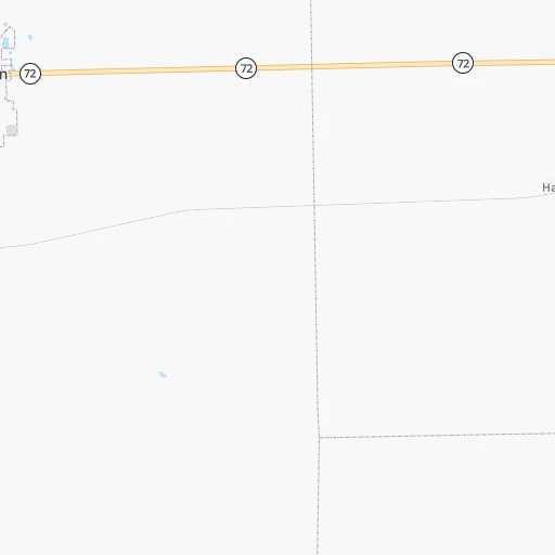
Location Rock Cut Farms (airport) (Illinois) :
| Country flag |  |
| Location | Rock Cut Farms (airport) |
| State | Illinois |
| County | Ogle County |
| Country | United States |
| Country code / ISO 2 | US |
| Latitude | 42.1261700 |
| Longitude | -89.4562800 |
| Altitude | 241 meters |
| Time zone | America/Chicago |
Location Fresno (California) :
| Country flag | |
| Location | Fresno |
| State | California |
| County | Fresno County |
| Country | United States |
| Country code / ISO 2 | US |
| Latitude | 36.7477300 |
| Longitude | -119.7723700 |
| Altitude | 94 meters |
| Time zone | America/Los_Angeles |


