
How to get from Reid RLA (airport) (Illinois) to Kenosha (Wisconsin)
Calculate route from Reid RLA (airport) (Illinois, United States) to Kenosha (Wisconsin, United States).
The flight distance (as the crow flies) between Reid RLA (airport) and Kenosha is 70.8 km.
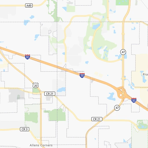
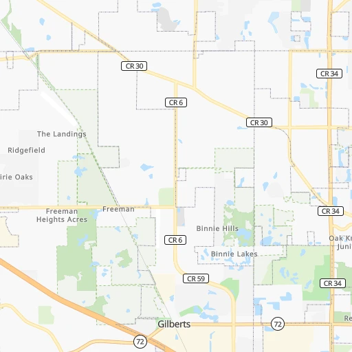
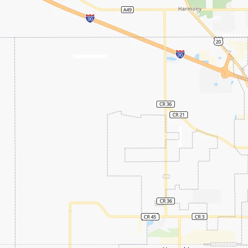
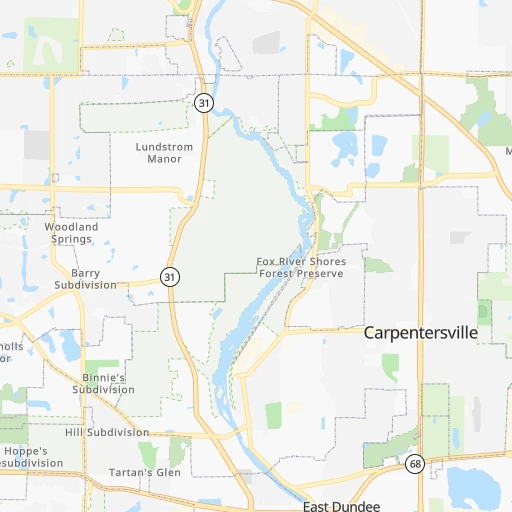
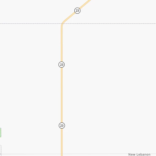
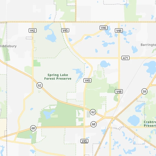
Roadmap (route) to go from Reid RLA Airport to Kenosha detailed above, you can also see the course layout on the map.
While doing trip Reid RLA (airport) - Kenosha by car, the calculated route ends at a distance , or more straight.
Distance and duration of the route between Reid RLA (airport) and Kenosha
Calculation of distance and route from Kenosha to Reid RLA (airport) :
70.889.9 km2h32mn
Continue onto Powers Road 0h2mn 895 mTurn right onto Freeman Road 0h3mn 2.4 kmTurn left onto Galligan Road 0h2mn 2.6 kmTurn right onto Huntley Road 0h0mn 403 mTurn sharp left onto Square Barn Road 0h3mn 3.2 kmTurn right onto West Algonquin Road 0h3mn 2.8 kmTurn left onto North Randall Road 0h7mn 7.7 kmTurn left onto IL 31 0h0mn 144 mTurn slight right onto IL 31 0h3mn 4.0 kmTurn right onto West State Road 0h7mn 7.8 kmTurn left onto South River Road 0h1mn 1.1 kmKeep right onto South River Road 0h0mn 52 mTurn right onto West Dowell Road 0h0mn 40 mTurn right onto West Dowell Road 0h3mn 2.6 kmTurn left onto North Darrell Road 0h0mn 368 mTurn sharp right onto Fisher Road 0h4mn 2.2 kmTurn right onto West Belvidere Road 0h0mn 349 mTurn left onto Volo Village Road 0h0mn 247 mTurn left onto North Fox Lake Road 0h2mn 1.2 kmTurn left onto US 12, IL 59 0h4mn 4.2 kmKeep right onto IL 59 0h13mn 13.9 kmContinue onto Lake Street 0h1mn 760 mTurn left onto Main Street 0h1mn 1.2 kmTurn right onto West North Avenue 0h7mn 8.9 kmTurn left onto 152nd Avenue 0h2mn 1.5 kmTurn right onto Horton Road 0h2mn 2.0 kmTurn left onto 136th Avenue 0h3mn 2.3 kmTurn right onto Wilmot Road 0h1mn 1.0 kmContinue onto Wilmot Road 0h1mn 1.2 kmContinue onto County Highway C 0h4mn 3.0 kmAt roundabout, take exit 2 onto 88th Avenue 0h1mn 632 mKeep right 0h5mn 5.0 kmContinue onto Roosevelt Road 0h3mn 3.1 kmTurn left onto Sheridan Road 0h1mn 744 mTurn right onto 56th Street 0h0mn 94 mMake a U-turn onto 56th Street 0h0mn 33 mArrive at destination 0h0mn 0 m
Travel from Reid RLA (airport) (Wisconsin) to a selection of major cities.
Distances from Reid RLA Airport to biggest cities in Illinois
- South Lawndale,73,826 inhabitants.65 km
- Logan Square,73,702 inhabitants.62 km
- Decatur,73,254 inhabitants.258 km
- West Ridge,72,211 inhabitants.60 km
- Palatine,69,308 inhabitants.31 km
- Lincoln Park,66,959 inhabitants.66 km
- Portage Park,64,841 inhabitants.56 km
- Skokie,64,821 inhabitants.56 km
- Des Plaines,58,677 inhabitants.44 km
- Orland Park,58,619 inhabitants.71 km
- Tinley Park,57,143 inhabitants.80 km
- Oak Lawn,56,781 inhabitants.70 km
- Irving Park,56,520 inhabitants.58 km
- Berwyn,56,368 inhabitants.59 km
- Chicago Lawn,55,551 inhabitants.70 km
- Uptown,55,137 inhabitants.65 km
- Edgewater,54,873 inhabitants.63 km
- Mount Prospect,54,747 inhabitants.39 km
- Rogers Park,54,402 inhabitants.62 km
- Normal,54,373 inhabitants.185 km
Other major cities in country :
- Seattle [WA], 684,451 inhabitants. 2,722 km
- Denver [CO], 682,545 inhabitants. 1,417 km
- El Paso [TX], 681,124 inhabitants. 1,973 km
- Detroit [MI], 677,116 inhabitants. 442 km
- Boston [MA], 667,137 inhabitants. 1,427 km
- Memphis [TN], 655,770 inhabitants. 789 km
- New South Memphis [TN], 641,608 inhabitants. 796 km
- Portland [OR], 632,309 inhabitants. 2,757 km
- Oklahoma City [OK], 631,346 inhabitants. 1,082 km
- Las Vegas [NV], 623,747 inhabitants. 2,390 km
- Baltimore [MD], 621,849 inhabitants. 1,043 km
- Washington, D.C. [DC], 601,723 inhabitants. 1,026 km
- Milwaukee [WI], 600,155 inhabitants. 110 km
- South Boston [MA], 571,281 inhabitants. 1,429 km
- Albuquerque [NM], 559,121 inhabitants. 1,765 km
- Tucson [AZ], 531,641 inhabitants. 2,271 km
- Nashville [TN], 530,852 inhabitants. 677 km
- Fresno [CA], 520,052 inhabitants. 2,746 km
- Sacramento [CA], 490,712 inhabitants. 2,817 km
- Kansas City [MO], 475,378 inhabitants. 620 km
Route from Kenosha to major cities (United States).
- Distance Kenosha New York City1,166 km
- Distance Kenosha Los Angeles2,804 km
- Distance Kenosha Chicago83 km
- Distance Kenosha Brooklyn1,173 km
- Distance Kenosha Houston1,578 km
- Distance Kenosha Queens1,181 km
- Distance Kenosha Philadelphia1,098 km
- Distance Kenosha Phoenix2,346 km
- Distance Kenosha Manhattan1,168 km
- Distance Kenosha San Antonio1,749 km
- Distance Kenosha San Diego2,792 km
- Distance Kenosha The Bronx1,174 km
- Distance Kenosha Dallas1,346 km
- Distance Kenosha San Jose2,945 km
- Distance Kenosha Austin1,631 km
- Distance Kenosha Jacksonville1,470 km
- Distance Kenosha San Francisco2,970 km
- Distance Kenosha Columbus498 km
- Distance Kenosha Fort Worth1,378 km
- Distance Kenosha Indianapolis343 km
Nearest cities to Reid RLA (airport) :
- Chicago, 2,720,546 inhabitants. 69 km
- Indianapolis, 829,718 inhabitants. 323 km
- Milwaukee, 600,155 inhabitants. 110 km
- Madison, 248,951 inhabitants. 134 km
- Aurora, 200,661 inhabitants. 40 km
- Grand Rapids, 195,097 inhabitants. 244 km
- Rockford, 148,278 inhabitants. 59 km
- Joliet, 147,861 inhabitants. 71 km
- Naperville, 147,100 inhabitants. 43 km
- Springfield, 116,565 inhabitants. 278 km
- Peoria, 115,070 inhabitants. 187 km
- North Peoria, 113,004 inhabitants. 184 km
- Elgin, 112,111 inhabitants. 14 km
- Green Bay, 105,207 inhabitants. 269 km
- Davenport, 102,582 inhabitants. 192 km
- South Bend, 101,516 inhabitants. 185 km
- Kenosha, 99,858 inhabitants. 71 km
- Carmel, 88,713 inhabitants. 306 km
- Waukegan, 88,475 inhabitants. 54 km
- West Town, 86,429 inhabitants. 65 km
- Champaign, 86,096 inhabitants. 223 km
- Near North Side, 85,711 inhabitants. 68 km
- Bloomington, 84,067 inhabitants. 365 km
- Cicero, 83,886 inhabitants. 62 km
- Belmont Cragin, 79,159 inhabitants. 57 km
- Bloomington, 78,292 inhabitants. 188 km
- Racine, 77,742 inhabitants. 85 km
- Hammond, 77,614 inhabitants. 96 km
- Gary, 77,156 inhabitants. 105 km
- Fishers, 76,794 inhabitants. 313 km
- Kalamazoo, 76,041 inhabitants. 233 km
- Arlington Heights, 75,926 inhabitants. 35 km
- Evanston, 75,527 inhabitants. 60 km
- Wyoming, 75,275 inhabitants. 239 km
- Schaumburg, 74,693 inhabitants. 28 km
- Bolingbrook, 74,306 inhabitants. 54 km
- Appleton, 74,139 inhabitants. 239 km
- South Lawndale, 73,826 inhabitants. 65 km
- Logan Square, 73,702 inhabitants. 62 km
- Decatur, 73,254 inhabitants. 258 km
- West Ridge, 72,211 inhabitants. 60 km
- Waukesha, 71,970 inhabitants. 101 km
- Lafayette, 71,111 inhabitants. 229 km
- Palatine, 69,308 inhabitants. 31 km
- Lincoln Park, 66,959 inhabitants. 66 km
- Oshkosh, 66,555 inhabitants. 213 km
- Portage Park, 64,841 inhabitants. 56 km
- Skokie, 64,821 inhabitants. 56 km
- Janesville, 64,123 inhabitants. 81 km
- Terre Haute, 60,825 inhabitants. 307 km
Location Reid RLA (airport) (Illinois) :
| Country flag |  |
| Location | Reid RLA (airport) |
| State | Illinois |
| County | Kane County |
| Country | United States |
| Country code / ISO 2 | US |
| Latitude | 42.1173300 |
| Longitude | -88.4066600 |
| Altitude | 284 meters |
| Time zone | America/Chicago |
Location Kenosha (Wisconsin) :
| Country flag | |
| Location | Kenosha |
| State | Wisconsin |
| County | Kenosha County |
| Country | United States |
| Country code / ISO 2 | US |
| Latitude | 42.5847400 |
| Longitude | -87.8211900 |
| Altitude | 184 meters |
| Time zone | America/Chicago |