

How to get from Mercer County (airport) (Illinois) to Waterloo (Iowa)
Calculate route from Mercer County (airport) (Illinois, United States) to Waterloo (Iowa, United States).
The flight distance (as the crow flies) between Mercer County (airport) and Waterloo is 191.6 km.
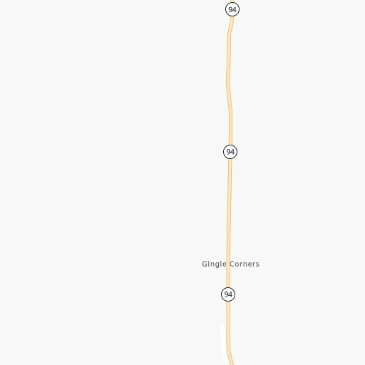
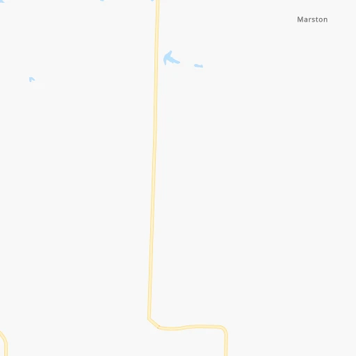
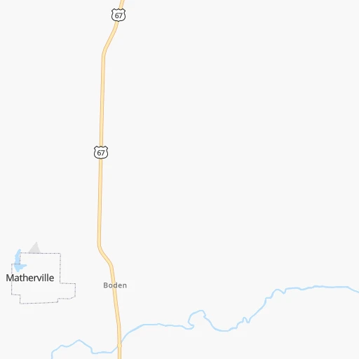
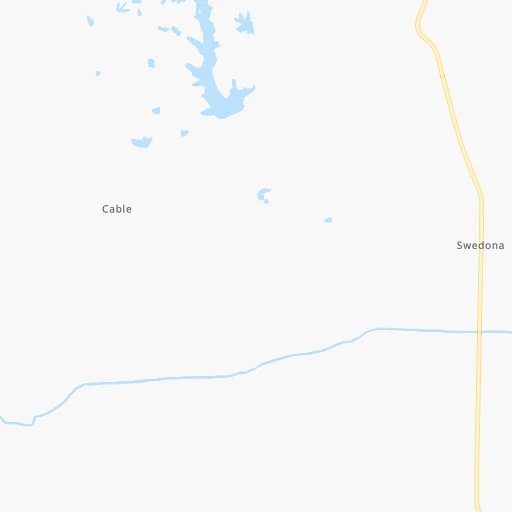
Roadmap (route) to go from Mercer County Airport to Waterloo detailed above, you can also see the course layout on the map.
While doing trip Mercer County (airport) - Waterloo by car, the calculated route ends at a distance , or more straight.
Distance and duration of the route between Mercer County (airport) and Waterloo
Calculation of distance and route from Waterloo to Mercer County (airport) :
191.6231.9 km3h58mn
Continue 0h0mn 96 mTurn left onto IL 94 0h8mn 8.6 kmTurn left onto 180th Avenue West 0h15mn 12.7 kmTurn right onto 224th Street West 0h8mn 6.5 kmTurn left onto 124th Avenue West 0h13mn 14.6 kmTurn left onto East 2nd Street 0h0mn 534 mAt roundabout, take exit 1 onto Mulberry Avenue 0h0mn 60 mTurn right onto Mulberry Avenue 0h1mn 605 mTurn left onto East 8th Street 0h0mn 220 mTurn right onto Cedar Street 0h2mn 1.7 kmAt roundabout, take exit 1 onto Cedar Street 0h16mn 17.3 kmContinue onto State Highway 70 0h9mn 9.7 kmTurn right onto South Columbus Street 0h25mn 30.2 kmTurn right 1h16mn 123.6 kmKeep right onto I 380 and take I-380 north, US 218 north toward Waterloo 0h4mn 4.7 kmKeep right onto Washington Street and drive toward Downtown Riverfront, Sullivan Brothers Convention Center 0h1mn 699 mTurn left onto West 4th Street 0h0mn 121 mArrive at destination 0h0mn 0 m
Travel from Mercer County (airport) (Iowa) to a selection of major cities.
Distances from Mercer County Airport to biggest cities in Illinois
- South Lawndale,73,826 inhabitants.260 km
- Logan Square,73,702 inhabitants.264 km
- Decatur,73,254 inhabitants.218 km
- West Ridge,72,211 inhabitants.267 km
- Palatine,69,308 inhabitants.244 km
- Lincoln Park,66,959 inhabitants.268 km
- Portage Park,64,841 inhabitants.260 km
- Skokie,64,821 inhabitants.265 km
- Des Plaines,58,677 inhabitants.253 km
- Orland Park,58,619 inhabitants.244 km
- Tinley Park,57,143 inhabitants.249 km
- Oak Lawn,56,781 inhabitants.254 km
- Irving Park,56,520 inhabitants.262 km
- Berwyn,56,368 inhabitants.254 km
- Chicago Lawn,55,551 inhabitants.260 km
- Uptown,55,137 inhabitants.269 km
- Edgewater,54,873 inhabitants.268 km
- Mount Prospect,54,747 inhabitants.250 km
- Rogers Park,54,402 inhabitants.269 km
- Normal,54,373 inhabitants.168 km
Other major cities in country :
- Seattle [WA], 684,451 inhabitants. 2,589 km
- Denver [CO], 682,545 inhabitants. 1,216 km
- El Paso [TX], 681,124 inhabitants. 1,757 km
- Detroit [MI], 677,116 inhabitants. 649 km
- Boston [MA], 667,137 inhabitants. 1,634 km
- Memphis [TN], 655,770 inhabitants. 682 km
- New South Memphis [TN], 641,608 inhabitants. 689 km
- Portland [OR], 632,309 inhabitants. 2,609 km
- Oklahoma City [OK], 631,346 inhabitants. 874 km
- Las Vegas [NV], 623,747 inhabitants. 2,185 km
- Baltimore [MD], 621,849 inhabitants. 1,218 km
- Washington, D.C. [DC], 601,723 inhabitants. 1,195 km
- Milwaukee [WI], 600,155 inhabitants. 307 km
- South Boston [MA], 571,281 inhabitants. 1,635 km
- Albuquerque [NM], 559,121 inhabitants. 1,550 km
- Tucson [AZ], 531,641 inhabitants. 2,055 km
- Nashville [TN], 530,852 inhabitants. 662 km
- Fresno [CA], 520,052 inhabitants. 2,549 km
- Sacramento [CA], 490,712 inhabitants. 2,629 km
- Kansas City [MO], 475,378 inhabitants. 405 km
Route from Waterloo to major cities (United States).
- Distance Waterloo New York City1,536 km
- Distance Waterloo Los Angeles2,438 km
- Distance Waterloo Chicago394 km
- Distance Waterloo Brooklyn1,542 km
- Distance Waterloo Houston1,443 km
- Distance Waterloo Queens1,551 km
- Distance Waterloo Philadelphia1,463 km
- Distance Waterloo Phoenix1,996 km
- Distance Waterloo Manhattan1,538 km
- Distance Waterloo San Antonio1,556 km
- Distance Waterloo San Diego2,432 km
- Distance Waterloo The Bronx1,544 km
- Distance Waterloo Dallas1,150 km
- Distance Waterloo San Jose2,574 km
- Distance Waterloo Austin1,444 km
- Distance Waterloo Jacksonville1,655 km
- Distance Waterloo San Francisco2,599 km
- Distance Waterloo Columbus831 km
- Distance Waterloo Fort Worth1,172 km
- Distance Waterloo Indianapolis601 km
Nearest cities to Mercer County (airport) :
- Milwaukee, 600,155 inhabitants. 307 km
- St. Louis, 315,685 inhabitants. 296 km
- Madison, 248,951 inhabitants. 231 km
- Des Moines, 210,330 inhabitants. 243 km
- Aurora, 200,661 inhabitants. 209 km
- Rockford, 148,278 inhabitants. 177 km
- Joliet, 147,861 inhabitants. 224 km
- Naperville, 147,100 inhabitants. 224 km
- Cedar Rapids, 130,405 inhabitants. 113 km
- Columbia, 119,108 inhabitants. 290 km
- Springfield, 116,565 inhabitants. 186 km
- Peoria, 115,070 inhabitants. 115 km
- North Peoria, 113,004 inhabitants. 114 km
- Rochester, 112,225 inhabitants. 339 km
- Elgin, 112,111 inhabitants. 222 km
- Davenport, 102,582 inhabitants. 33 km
- Kenosha, 99,858 inhabitants. 283 km
- Waukegan, 88,475 inhabitants. 270 km
- Champaign, 86,096 inhabitants. 245 km
- O'Fallon, 85,040 inhabitants. 272 km
- Cicero, 83,886 inhabitants. 257 km
- Belmont Cragin, 79,159 inhabitants. 258 km
- Bloomington, 78,292 inhabitants. 170 km
- Racine, 77,742 inhabitants. 294 km
- Arlington Heights, 75,926 inhabitants. 247 km
- Schaumburg, 74,693 inhabitants. 237 km
- Bolingbrook, 74,306 inhabitants. 228 km
- Iowa City, 74,220 inhabitants. 80 km
- Decatur, 73,254 inhabitants. 218 km
- Waukesha, 71,970 inhabitants. 285 km
- Palatine, 69,308 inhabitants. 244 km
- Waterloo, 68,460 inhabitants. 192 km
- Oshkosh, 66,555 inhabitants. 357 km
- Saint Charles, 65,794 inhabitants. 275 km
- Ames, 65,060 inhabitants. 255 km
- Portage Park, 64,841 inhabitants. 260 km
- Janesville, 64,123 inhabitants. 214 km
- West Des Moines, 64,113 inhabitants. 251 km
- West Allis, 60,620 inhabitants. 299 km
- Dubuque, 58,799 inhabitants. 139 km
- Des Plaines, 58,677 inhabitants. 253 km
- Orland Park, 58,619 inhabitants. 244 km
- Tinley Park, 57,143 inhabitants. 249 km
- Oak Lawn, 56,781 inhabitants. 254 km
- Ankeny, 56,764 inhabitants. 245 km
- Berwyn, 56,368 inhabitants. 254 km
- Mount Prospect, 54,747 inhabitants. 250 km
- Normal, 54,373 inhabitants. 168 km
- Wheaton, 53,715 inhabitants. 230 km
- Saint Peters, 52,575 inhabitants. 273 km
Location Mercer County (airport) (Illinois) :
| Country flag |  |
| Location | Mercer County (airport) |
| State | Illinois |
| County | Mercer County |
| Country | United States |
| Country code / ISO 2 | US |
| Latitude | 41.2509500 |
| Longitude | -90.7369300 |
| Altitude | 225 meters |
| Time zone | America/Chicago |
Location Waterloo (Iowa) :
| Country flag | |
| Location | Waterloo |
| State | Iowa |
| County | Black Hawk County |
| Country | United States |
| Country code / ISO 2 | US |
| Latitude | 42.4927600 |
| Longitude | -92.3429600 |
| Altitude | 261 meters |
| Time zone | America/Chicago |


