
How to get from Knott (airport) (Illinois) to Gary (Indiana)
Calculate route from Knott (airport) (Illinois, United States) to Gary (Indiana, United States).
The flight distance (as the crow flies) between Knott (airport) and Gary is 174.0 km.
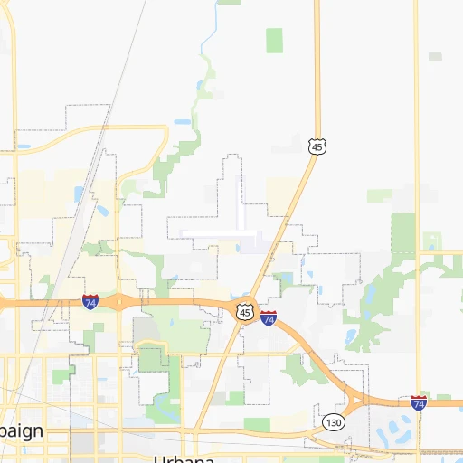
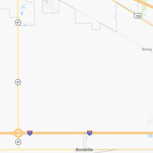
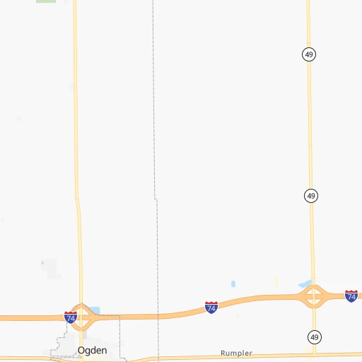
Roadmap (route) to go from Knott Airport to Gary detailed above, you can also see the course layout on the map.
While doing trip Knott (airport) - Gary by car, the calculated route ends at a distance , or more straight.
Distance and duration of the route between Knott (airport) and Gary
Calculation of distance and route from Gary to Knott (airport) :
174.0213.2 km3h31mn
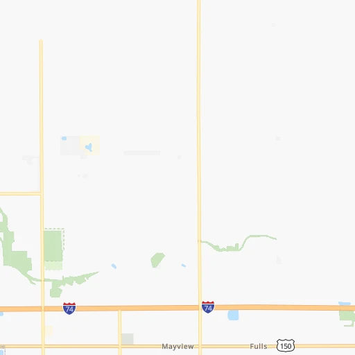
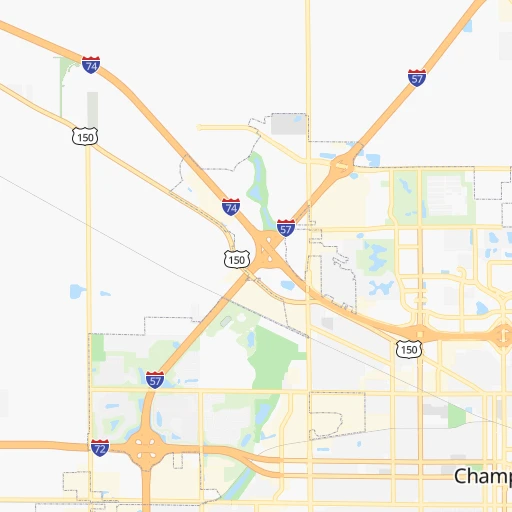
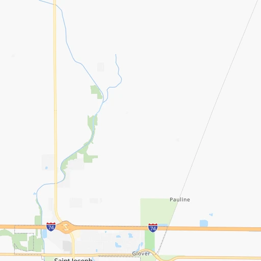
Continue onto County Road 180 0h2mn 962 mTurn left onto County Road 1850 North 0h3mn 1.6 kmTurn right onto North Cottonwood Road 0h3mn 2.4 kmContinue onto County Road 1700 East 0h3mn 1.6 kmTurn left onto County Road 2100 North 0h3mn 3.3 kmTurn right onto County Road 1500 East 0h9mn 9.7 kmTurn left onto Access 0h2mn 901 mTurn left onto South Murray Road 0h6mn 2.8 kmTurn left onto West Champaign Avenue 0h0mn 361 mKeep right 2h31mn 152.5 kmKeep right and take I 80 East toward Indiana 0h4mn 5.6 kmKeep right onto I 80 0h20mn 27.1 kmKeep right and drive toward Grant Street 0h0mn 577 mKeep left 0h0mn 74 mTurn left onto Grant Street 0h2mn 2.7 kmTurn right onto West 11th Avenue 0h0mn 82 mTurn right onto West 11th Avenue 0h1mn 696 mTurn left onto Harrison Boulevard 0h0mn 148 mTurn right onto 10th Place 0h0mn 77 mArrive at destination 0h0mn 0 m
Travel from Knott (airport) (Indiana) to a selection of major cities.
Distances from Knott Airport to biggest cities in Illinois
- South Lawndale,73,826 inhabitants.193 km
- Logan Square,73,702 inhabitants.202 km
- Decatur,73,254 inhabitants.79 km
- West Ridge,72,211 inhabitants.210 km
- Palatine,69,308 inhabitants.219 km
- Lincoln Park,66,959 inhabitants.202 km
- Portage Park,64,841 inhabitants.204 km
- Skokie,64,821 inhabitants.213 km
- Des Plaines,58,677 inhabitants.212 km
- Orland Park,58,619 inhabitants.167 km
- Tinley Park,57,143 inhabitants.162 km
- Oak Lawn,56,781 inhabitants.177 km
- Irving Park,56,520 inhabitants.204 km
- Berwyn,56,368 inhabitants.192 km
- Chicago Lawn,55,551 inhabitants.185 km
- Uptown,55,137 inhabitants.207 km
- Edgewater,54,873 inhabitants.209 km
- Mount Prospect,54,747 inhabitants.215 km
- Rogers Park,54,402 inhabitants.211 km
- Normal,54,373 inhabitants.85 km
Other major cities in country :
- Seattle [WA], 684,451 inhabitants. 2,842 km
- Denver [CO], 682,545 inhabitants. 1,438 km
- El Paso [TX], 681,124 inhabitants. 1,895 km
- Detroit [MI], 677,116 inhabitants. 490 km
- Boston [MA], 667,137 inhabitants. 1,446 km
- Memphis [TN], 655,770 inhabitants. 581 km
- New South Memphis [TN], 641,608 inhabitants. 588 km
- Portland [OR], 632,309 inhabitants. 2,861 km
- Oklahoma City [OK], 631,346 inhabitants. 976 km
- Las Vegas [NV], 623,747 inhabitants. 2,396 km
- Baltimore [MD], 621,849 inhabitants. 989 km
- Washington, D.C. [DC], 601,723 inhabitants. 961 km
- Milwaukee [WI], 600,155 inhabitants. 323 km
- South Boston [MA], 571,281 inhabitants. 1,447 km
- Albuquerque [NM], 559,121 inhabitants. 1,725 km
- Tucson [AZ], 531,641 inhabitants. 2,223 km
- Nashville [TN], 530,852 inhabitants. 458 km
- Fresno [CA], 520,052 inhabitants. 2,771 km
- Sacramento [CA], 490,712 inhabitants. 2,861 km
- Kansas City [MO], 475,378 inhabitants. 566 km
Route from Gary to major cities (United States).
- Distance Gary New York City1,121 km
- Distance Gary Los Angeles2,826 km
- Distance Gary Chicago38 km
- Distance Gary Brooklyn1,127 km
- Distance Gary Houston1,502 km
- Distance Gary Queens1,136 km
- Distance Gary Philadelphia1,042 km
- Distance Gary Phoenix2,353 km
- Distance Gary Manhattan1,123 km
- Distance Gary San Antonio1,687 km
- Distance Gary San Diego2,807 km
- Distance Gary The Bronx1,131 km
- Distance Gary Dallas1,289 km
- Distance Gary San Jose2,986 km
- Distance Gary Austin1,568 km
- Distance Gary Jacksonville1,354 km
- Distance Gary San Francisco3,014 km
- Distance Gary Columbus409 km
- Distance Gary Fort Worth1,324 km
- Distance Gary Charlotte907 km
Nearest cities to Knott (airport) :
- Chicago, 2,720,546 inhabitants. 194 km
- Indianapolis, 829,718 inhabitants. 172 km
- Milwaukee, 600,155 inhabitants. 323 km
- St. Louis, 315,685 inhabitants. 246 km
- Fort Wayne, 260,326 inhabitants. 276 km
- Madison, 248,951 inhabitants. 343 km
- Louisville, 243,639 inhabitants. 292 km
- Aurora, 200,661 inhabitants. 181 km
- Grand Rapids, 195,097 inhabitants. 375 km
- Rockford, 148,278 inhabitants. 251 km
- Joliet, 147,861 inhabitants. 154 km
- Naperville, 147,100 inhabitants. 183 km
- Evansville, 119,943 inhabitants. 246 km
- Springfield, 116,565 inhabitants. 135 km
- Peoria, 115,070 inhabitants. 139 km
- North Peoria, 113,004 inhabitants. 140 km
- Elgin, 112,111 inhabitants. 212 km
- Davenport, 102,582 inhabitants. 258 km
- South Bend, 101,516 inhabitants. 233 km
- Kenosha, 99,858 inhabitants. 273 km
- Carmel, 88,713 inhabitants. 171 km
- Waukegan, 88,475 inhabitants. 248 km
- West Town, 86,429 inhabitants. 199 km
- Champaign, 86,096 inhabitants. 11 km
- Near North Side, 85,711 inhabitants. 200 km
- O'Fallon, 85,040 inhabitants. 267 km
- Bloomington, 84,067 inhabitants. 174 km
- Cicero, 83,886 inhabitants. 192 km
- Belmont Cragin, 79,159 inhabitants. 202 km
- Bloomington, 78,292 inhabitants. 84 km
- Racine, 77,742 inhabitants. 289 km
- Hammond, 77,614 inhabitants. 169 km
- Gary, 77,156 inhabitants. 174 km
- Fishers, 76,794 inhabitants. 181 km
- Kalamazoo, 76,041 inhabitants. 320 km
- Arlington Heights, 75,926 inhabitants. 217 km
- Evanston, 75,527 inhabitants. 215 km
- Wyoming, 75,275 inhabitants. 368 km
- Schaumburg, 74,693 inhabitants. 211 km
- Bolingbrook, 74,306 inhabitants. 173 km
- South Lawndale, 73,826 inhabitants. 193 km
- Logan Square, 73,702 inhabitants. 202 km
- Decatur, 73,254 inhabitants. 79 km
- West Ridge, 72,211 inhabitants. 210 km
- Waukesha, 71,970 inhabitants. 320 km
- Lafayette, 71,111 inhabitants. 110 km
- Muncie, 70,087 inhabitants. 233 km
- Palatine, 69,308 inhabitants. 219 km
- Lincoln Park, 66,959 inhabitants. 202 km
- Saint Charles, 65,794 inhabitants. 253 km
Location Knott (airport) (Illinois) :
| Country flag |  |
| Location | Knott (airport) |
| State | Illinois |
| County | Champaign County |
| Country | United States |
| Country code / ISO 2 | US |
| Latitude | 40.1408700 |
| Longitude | -88.1189300 |
| Altitude | 208 meters |
| Time zone | America/Chicago |
Location Gary (Indiana) :
| Country flag | |
| Location | Gary |
| State | Indiana |
| County | Lake County |
| Country | United States |
| Country code / ISO 2 | US |
| Latitude | 41.5933700 |
| Longitude | -87.3464300 |
| Altitude | 183 meters |
| Time zone | America/Chicago |

