

How to get from Jack W. Watson (airport) (Illinois) to Philadelphia (Pennsylvania)
Calculate route from Jack W. Watson (airport) (Illinois, United States) to Philadelphia (Pennsylvania, United States).
The flight distance (as the crow flies) between Jack W. Watson (airport) and Philadelphia is 1,162.6 km.
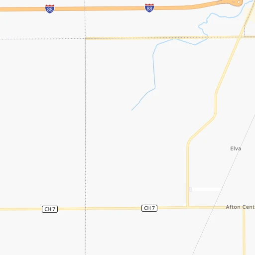
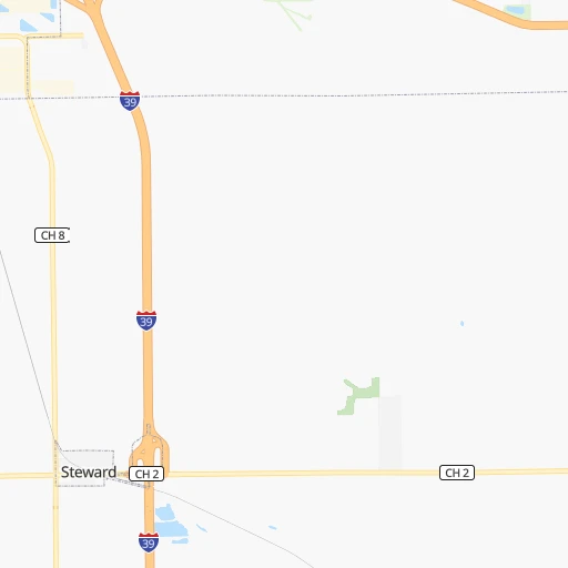
Roadmap (route) to go from Jack W. Watson Airport to Philadelphia detailed above, you can also see the course layout on the map.
While doing trip Jack W. Watson (airport) - Philadelphia by car, the calculated route ends at a distance , or more straight.
Distance and duration of the route between Jack W. Watson (airport) and Philadelphia
Calculation of distance and route from Philadelphia to Jack W. Watson (airport) :
1,162.61,310.3 km14h45mn
Continue onto South 1st Street 0h1mn 488 mTurn left onto Perry Road 0h20mn 22.5 kmContinue onto Harter Road 0h3mn 2.8 kmTurn left onto Seavey Road 0h7mn 3.4 kmTurn left onto Finley Road 0h0mn 173 mTurn left onto Route 47 0h0mn 73 mKeep right and take I 88 East Toll toward Chicago 0h0mn 71 mTurn right 0h19mn 28.3 kmKeep right and drive toward Wheaton, Lisle, Naperville 0h1mn 609 mKeep left and drive toward Freedom Drive 0h1mn 499 mTurn right onto Warrenville Road 0h1mn 578 mTurn slight right onto Warrenville Road 0h3mn 2.9 kmTurn right onto Warrenville Road 0h3mn 3.6 kmTurn left onto Ogden Avenue 0h7mn 5.9 kmTurn right onto East Ogden Avenue 0h0mn 281 mTurn right onto East Ogden Avenue 0h0mn 121 mTurn slight right onto East Ogden Avenue 0h4mn 3.9 kmKeep right and take I 294 South Toll toward Indiana 0h21mn 30.3 kmKeep right and take IL 83 toward 147th Street, Sibley Boulevard 0h1mn 728 mKeep left and take IL 83 toward 147th Street, Sibley Boulevard 0h9mn 9.3 kmContinue onto East Sibley Boulevard 0h5mn 5.1 kmTurn left onto Hohman Avenue 0h0mn 427 mTurn right onto Michigan Street 0h15mn 15.7 kmTurn left onto Broadway 0h0mn 313 mTurn sharp right toward I 90 East 11h19mn 1,141.7 kmKeep right onto I 76 and take I 76 East toward Philadelphia, Valley Forge 0h14mn 18.7 kmKeep right and drive toward Green Lane, Belmont Avenue 0h0mn 305 mTurn right onto Belmont Avenue 0h5mn 4.7 kmTurn left onto Montgomery Drive 0h1mn 633 mKeep right toward I 76 East 0h3mn 3.9 kmKeep left onto Vine Street Expressway and take I 676 East, US 30 East toward Central Philadelphia 0h1mn 1.3 kmKeep right and drive toward Central Philadelphia 0h0mn 222 mKeep right and drive toward 15th Street, Central Philadelphia 0h0mn 95 mTurn right onto North 15th Street 0h1mn 722 mKeep left onto South Penn Square 0h0mn 49 mArrive at destination 0h0mn 0 m
Travel from Jack W. Watson (airport) (Pennsylvania) to a selection of major cities.
Distances from Jack W. Watson Airport to biggest cities in Illinois
- South Lawndale,73,826 inhabitants.89 km
- Logan Square,73,702 inhabitants.91 km
- Decatur,73,254 inhabitants.225 km
- West Ridge,72,211 inhabitants.92 km
- Palatine,69,308 inhabitants.69 km
- Lincoln Park,66,959 inhabitants.95 km
- Portage Park,64,841 inhabitants.86 km
- Skokie,64,821 inhabitants.90 km
- Des Plaines,58,677 inhabitants.78 km
- Orland Park,58,619 inhabitants.82 km
- Tinley Park,57,143 inhabitants.89 km
- Oak Lawn,56,781 inhabitants.87 km
- Irving Park,56,520 inhabitants.88 km
- Berwyn,56,368 inhabitants.83 km
- Chicago Lawn,55,551 inhabitants.91 km
- Uptown,55,137 inhabitants.95 km
- Edgewater,54,873 inhabitants.95 km
- Mount Prospect,54,747 inhabitants.75 km
- Rogers Park,54,402 inhabitants.95 km
- Normal,54,373 inhabitants.150 km
Other major cities in country :
- Seattle [WA], 684,451 inhabitants. 2,706 km
- Denver [CO], 682,545 inhabitants. 1,383 km
- El Paso [TX], 681,124 inhabitants. 1,930 km
- Detroit [MI], 677,116 inhabitants. 478 km
- Boston [MA], 667,137 inhabitants. 1,463 km
- Memphis [TN], 655,770 inhabitants. 754 km
- New South Memphis [TN], 641,608 inhabitants. 761 km
- Portland [OR], 632,309 inhabitants. 2,737 km
- Oklahoma City [OK], 631,346 inhabitants. 1,038 km
- Las Vegas [NV], 623,747 inhabitants. 2,354 km
- Baltimore [MD], 621,849 inhabitants. 1,068 km
- Washington, D.C. [DC], 601,723 inhabitants. 1,049 km
- Milwaukee [WI], 600,155 inhabitants. 151 km
- South Boston [MA], 571,281 inhabitants. 1,464 km
- Albuquerque [NM], 559,121 inhabitants. 1,725 km
- Tucson [AZ], 531,641 inhabitants. 2,231 km
- Nashville [TN], 530,852 inhabitants. 656 km
- Fresno [CA], 520,052 inhabitants. 2,713 km
- Sacramento [CA], 490,712 inhabitants. 2,787 km
- Kansas City [MO], 475,378 inhabitants. 578 km
Route from Philadelphia to major cities (United States).
- Distance Philadelphia New York City130 km
- Distance Philadelphia Los Angeles3,848 km
- Distance Philadelphia Chicago1,071 km
- Distance Philadelphia Brooklyn129 km
- Distance Philadelphia Houston2,158 km
- Distance Philadelphia Queens139 km
- Distance Philadelphia Phoenix3,348 km
- Distance Philadelphia Manhattan137 km
- Distance Philadelphia San Antonio2,425 km
- Distance Philadelphia San Diego3,815 km
- Distance Philadelphia The Bronx149 km
- Distance Philadelphia Dallas2,091 km
- Distance Philadelphia San Jose4,027 km
- Distance Philadelphia Austin2,312 km
- Distance Philadelphia Jacksonville1,222 km
- Distance Philadelphia San Francisco4,055 km
- Distance Philadelphia Columbus668 km
- Distance Philadelphia Fort Worth2,136 km
- Distance Philadelphia Indianapolis939 km
- Distance Philadelphia Charlotte726 km
Nearest cities to Jack W. Watson (airport) :
- Chicago, 2,720,546 inhabitants. 95 km
- Indianapolis, 829,718 inhabitants. 321 km
- Milwaukee, 600,155 inhabitants. 151 km
- Madison, 248,951 inhabitants. 145 km
- Aurora, 200,661 inhabitants. 40 km
- Rockford, 148,278 inhabitants. 53 km
- Joliet, 147,861 inhabitants. 69 km
- Naperville, 147,100 inhabitants. 54 km
- Cedar Rapids, 130,405 inhabitants. 237 km
- Springfield, 116,565 inhabitants. 239 km
- Peoria, 115,070 inhabitants. 145 km
- North Peoria, 113,004 inhabitants. 143 km
- Elgin, 112,111 inhabitants. 47 km
- Green Bay, 105,207 inhabitants. 303 km
- Davenport, 102,582 inhabitants. 153 km
- South Bend, 101,516 inhabitants. 212 km
- Kenosha, 99,858 inhabitants. 114 km
- Carmel, 88,713 inhabitants. 307 km
- Waukegan, 88,475 inhabitants. 97 km
- West Town, 86,429 inhabitants. 93 km
- Champaign, 86,096 inhabitants. 199 km
- Near North Side, 85,711 inhabitants. 96 km
- Bloomington, 84,067 inhabitants. 355 km
- Cicero, 83,886 inhabitants. 86 km
- Belmont Cragin, 79,159 inhabitants. 85 km
- Bloomington, 78,292 inhabitants. 153 km
- Racine, 77,742 inhabitants. 128 km
- Hammond, 77,614 inhabitants. 111 km
- Gary, 77,156 inhabitants. 124 km
- Fishers, 76,794 inhabitants. 315 km
- Arlington Heights, 75,926 inhabitants. 72 km
- Evanston, 75,527 inhabitants. 94 km
- Schaumburg, 74,693 inhabitants. 62 km
- Bolingbrook, 74,306 inhabitants. 62 km
- Iowa City, 74,220 inhabitants. 228 km
- Appleton, 74,139 inhabitants. 270 km
- South Lawndale, 73,826 inhabitants. 89 km
- Logan Square, 73,702 inhabitants. 91 km
- Decatur, 73,254 inhabitants. 225 km
- West Ridge, 72,211 inhabitants. 92 km
- Waukesha, 71,970 inhabitants. 137 km
- Lafayette, 71,111 inhabitants. 227 km
- Palatine, 69,308 inhabitants. 69 km
- Eau Claire, 67,778 inhabitants. 395 km
- Lincoln Park, 66,959 inhabitants. 95 km
- Oshkosh, 66,555 inhabitants. 243 km
- Portage Park, 64,841 inhabitants. 86 km
- Skokie, 64,821 inhabitants. 90 km
- Janesville, 64,123 inhabitants. 94 km
- Terre Haute, 60,825 inhabitants. 290 km
Location Jack W. Watson (airport) (Illinois) :
| Country flag |  |
| Location | Jack W. Watson (airport) |
| State | Illinois |
| County | DeKalb County |
| Country | United States |
| Country code / ISO 2 | US |
| Latitude | 41.8534800 |
| Longitude | -88.7915000 |
| Altitude | 268 meters |
| Time zone | America/Chicago |
Location Philadelphia (Pennsylvania) :
| Country flag | |
| Location | Philadelphia |
| State | Pennsylvania |
| County | Philadelphia County |
| Country | United States |
| Country code / ISO 2 | US |
| Latitude | 39.9523300 |
| Longitude | -75.1637900 |
| Altitude | 12 meters |
| Time zone | America/New_York |


