
How to get from Headacres RLA (airport) (Illinois) to Racine (Wisconsin)
Calculate route from Headacres RLA (airport) (Illinois, United States) to Racine (Wisconsin, United States).
The flight distance (as the crow flies) between Headacres RLA (airport) and Racine is 273.1 km.
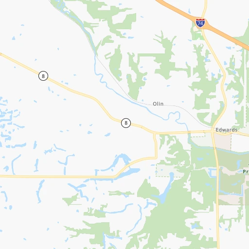
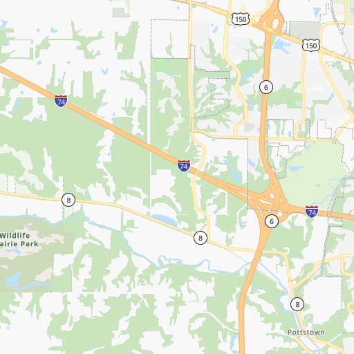
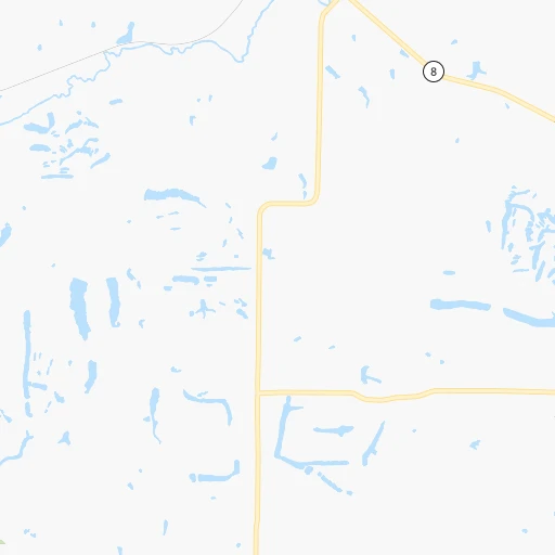
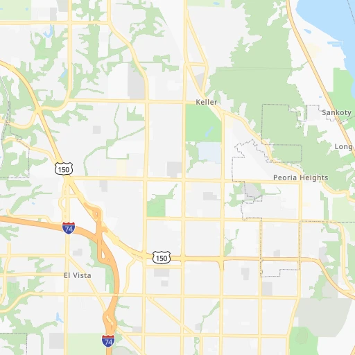
Roadmap (route) to go from Headacres RLA Airport to Racine detailed above, you can also see the course layout on the map.
While doing trip Headacres RLA (airport) - Racine by car, the calculated route ends at a distance , or more straight.
Distance and duration of the route between Headacres RLA (airport) and Racine
Calculation of distance and route from Racine to Headacres RLA (airport) :
273.1337.2 km5h54mn
Continue 0h3mn 1.4 kmTurn left onto West Pottstown Road 0h6mn 2.8 kmTurn left onto West Pottstown Road 0h5mn 2.4 kmTurn left onto West Pottstown Road 0h0mn 229 mTurn left onto West Southport Road 0h1mn 993 mTurn right onto West Reservoir Boulevard 0h3mn 3.0 kmTurn sharp left onto North Sterling Avenue 0h2mn 1.6 kmTurn left onto West War Memorial Drive 0h1mn 1.5 kmKeep right 0h5mn 5.0 kmTurn left 0h26mn 33.6 kmTurn right onto Ferry Street 0h2mn 2.6 kmTurn left onto North Prairie Street 0h10mn 10.4 kmKeep right 0h0mn 45 mTurn slight right onto IL 18, IL 26 0h23mn 23.2 kmTurn left and take I 39 North, US 51 North toward Rockford 0h16mn 27.3 kmKeep right and take I 80 East toward Chicago 0h14mn 23.6 kmKeep right and take IL 71 toward Ottawa, Oswego 0h0mn 405 mTurn left onto Illinois Route 71 1h34mn 40.3 kmTurn right onto Stagecoach Trail 0h19mn 21.5 kmTurn left onto South Eola Road 0h9mn 9.4 kmTurn right onto Butterfield Road 0h2mn 2.3 kmTurn left onto Illinois Route 59 0h5mn 5.2 kmTurn slight right onto South Neltnor Boulevard 0h2mn 1.8 kmTurn right onto South Neltnor Boulevard 0h14mn 15.7 kmTurn right onto South Sutton Road 0h2mn 2.3 kmTurn slight right onto New Sutton Road 0h7mn 8.6 kmTurn right onto New Sutton Road 0h1mn 732 mTurn right onto Dundee Road 0h2mn 2.0 kmKeep left onto New Sutton Road 0h2mn 2.6 kmKeep left 0h5mn 5.2 kmTurn right onto State Route 22 0h3mn 3.3 kmTurn left onto West Main Street 0h1mn 934 mTurn left onto Church Street 0h10mn 10.5 kmTurn right onto West Hawley Street 0h3mn 2.6 kmTurn slight right onto East Maple Avenue 0h3mn 2.7 kmTurn left onto Brainerd Avenue 0h1mn 609 mTurn right onto West Cook Avenue 0h0mn 173 mTurn left onto North Milwaukee Avenue 0h8mn 8.7 kmTurn left 0h13mn 21.2 kmKeep right toward CTH C 0h1mn 625 mKeep right toward CTH C East, I 41 Alternate North, I 94 Alternate West 0h1mn 550 mContinue onto County Highway C 0h4mn 3.0 kmAt roundabout, take exit 2 onto 88th Avenue 0h1mn 632 mKeep right 0h2mn 2.0 kmKeep left 0h0mn 269 mTurn slight left onto Green Bay Road 0h9mn 11.5 kmTurn right onto County Line Road 0h0mn 431 mTurn left onto Old Green Bay Road 0h8mn 6.2 kmTurn slight right onto Taylor Avenue 0h2mn 1.2 kmTurn right onto Washington Avenue 0h2mn 1.5 kmKeep right onto Washington Avenue 0h1mn 559 mAt roundabout, take exit 2 onto 7th Street 0h0mn 503 mArrive at destination 0h0mn 0 m
Travel from Headacres RLA (airport) (Wisconsin) to a selection of major cities.
Distances from Headacres RLA Airport to biggest cities in Illinois
- South Lawndale,73,826 inhabitants.208 km
- Logan Square,73,702 inhabitants.214 km
- Decatur,73,254 inhabitants.119 km
- West Ridge,72,211 inhabitants.220 km
- Palatine,69,308 inhabitants.208 km
- Lincoln Park,66,959 inhabitants.217 km
- Portage Park,64,841 inhabitants.212 km
- Skokie,64,821 inhabitants.220 km
- Des Plaines,58,677 inhabitants.210 km
- Orland Park,58,619 inhabitants.185 km
- Tinley Park,57,143 inhabitants.187 km
- Oak Lawn,56,781 inhabitants.197 km
- Irving Park,56,520 inhabitants.214 km
- Berwyn,56,368 inhabitants.203 km
- Chicago Lawn,55,551 inhabitants.205 km
- Uptown,55,137 inhabitants.220 km
- Edgewater,54,873 inhabitants.221 km
- Mount Prospect,54,747 inhabitants.210 km
- Rogers Park,54,402 inhabitants.222 km
- Normal,54,373 inhabitants.66 km
Other major cities in country :
- Seattle [WA], 684,451 inhabitants. 2,692 km
- Denver [CO], 682,545 inhabitants. 1,301 km
- El Paso [TX], 681,124 inhabitants. 1,802 km
- Detroit [MI], 677,116 inhabitants. 583 km
- Boston [MA], 667,137 inhabitants. 1,561 km
- Memphis [TN], 655,770 inhabitants. 622 km
- New South Memphis [TN], 641,608 inhabitants. 629 km
- Portland [OR], 632,309 inhabitants. 2,710 km
- Oklahoma City [OK], 631,346 inhabitants. 900 km
- Las Vegas [NV], 623,747 inhabitants. 2,265 km
- Baltimore [MD], 621,849 inhabitants. 1,127 km
- Washington, D.C. [DC], 601,723 inhabitants. 1,102 km
- Milwaukee [WI], 600,155 inhabitants. 297 km
- South Boston [MA], 571,281 inhabitants. 1,562 km
- Albuquerque [NM], 559,121 inhabitants. 1,612 km
- Tucson [AZ], 531,641 inhabitants. 2,114 km
- Nashville [TN], 530,852 inhabitants. 569 km
- Fresno [CA], 520,052 inhabitants. 2,634 km
- Sacramento [CA], 490,712 inhabitants. 2,719 km
- Kansas City [MO], 475,378 inhabitants. 453 km
Route from Racine to major cities (United States).
- Distance Racine New York City1,165 km
- Distance Racine Los Angeles2,809 km
- Distance Racine Chicago98 km
- Distance Racine Brooklyn1,172 km
- Distance Racine Houston1,594 km
- Distance Racine Queens1,180 km
- Distance Racine Philadelphia1,098 km
- Distance Racine Phoenix2,354 km
- Distance Racine Manhattan1,166 km
- Distance Racine San Antonio1,763 km
- Distance Racine San Diego2,799 km
- Distance Racine The Bronx1,172 km
- Distance Racine Dallas1,361 km
- Distance Racine San Jose2,948 km
- Distance Racine Austin1,646 km
- Distance Racine Jacksonville1,483 km
- Distance Racine San Francisco2,972 km
- Distance Racine Columbus504 km
- Distance Racine Fort Worth1,392 km
- Distance Racine Indianapolis356 km
Nearest cities to Headacres RLA (airport) :
- Chicago, 2,720,546 inhabitants. 213 km
- Milwaukee, 600,155 inhabitants. 297 km
- St. Louis, 315,685 inhabitants. 238 km
- Madison, 248,951 inhabitants. 262 km
- Aurora, 200,661 inhabitants. 163 km
- Rockford, 148,278 inhabitants. 179 km
- Joliet, 147,861 inhabitants. 163 km
- Naperville, 147,100 inhabitants. 176 km
- Cedar Rapids, 130,405 inhabitants. 215 km
- Evansville, 119,943 inhabitants. 359 km
- Columbia, 119,108 inhabitants. 299 km
- Springfield, 116,565 inhabitants. 104 km
- Peoria, 115,070 inhabitants. 11 km
- North Peoria, 113,004 inhabitants. 11 km
- Elgin, 112,111 inhabitants. 188 km
- Davenport, 102,582 inhabitants. 114 km
- Kenosha, 99,858 inhabitants. 259 km
- Waukegan, 88,475 inhabitants. 239 km
- West Town, 86,429 inhabitants. 214 km
- Champaign, 86,096 inhabitants. 142 km
- Near North Side, 85,711 inhabitants. 217 km
- O'Fallon, 85,040 inhabitants. 230 km
- Cicero, 83,886 inhabitants. 205 km
- Belmont Cragin, 79,159 inhabitants. 210 km
- Bloomington, 78,292 inhabitants. 67 km
- Racine, 77,742 inhabitants. 274 km
- Hammond, 77,614 inhabitants. 208 km
- Gary, 77,156 inhabitants. 220 km
- Arlington Heights, 75,926 inhabitants. 209 km
- Evanston, 75,527 inhabitants. 223 km
- Schaumburg, 74,693 inhabitants. 199 km
- Bolingbrook, 74,306 inhabitants. 175 km
- Iowa City, 74,220 inhabitants. 184 km
- South Lawndale, 73,826 inhabitants. 208 km
- Logan Square, 73,702 inhabitants. 214 km
- Decatur, 73,254 inhabitants. 119 km
- West Ridge, 72,211 inhabitants. 220 km
- Waukesha, 71,970 inhabitants. 282 km
- Lafayette, 71,111 inhabitants. 243 km
- Palatine, 69,308 inhabitants. 208 km
- Waterloo, 68,460 inhabitants. 294 km
- Lincoln Park, 66,959 inhabitants. 217 km
- Saint Charles, 65,794 inhabitants. 227 km
- Portage Park, 64,841 inhabitants. 212 km
- Skokie, 64,821 inhabitants. 220 km
- Janesville, 64,123 inhabitants. 224 km
- Terre Haute, 60,825 inhabitants. 241 km
- West Allis, 60,620 inhabitants. 291 km
- Owensboro, 59,042 inhabitants. 399 km
- Dubuque, 58,799 inhabitants. 212 km
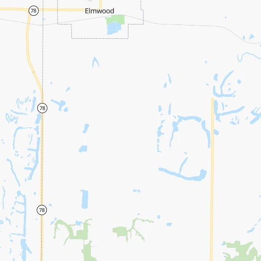
Location Headacres RLA (airport) (Illinois) :
| Country flag |  |
| Location | Headacres RLA (airport) |
| State | Illinois |
| County | Peoria County |
| Country | United States |
| Country code / ISO 2 | US |
| Latitude | 40.7347600 |
| Longitude | -89.7139900 |
| Altitude | 161 meters |
| Time zone | America/Chicago |
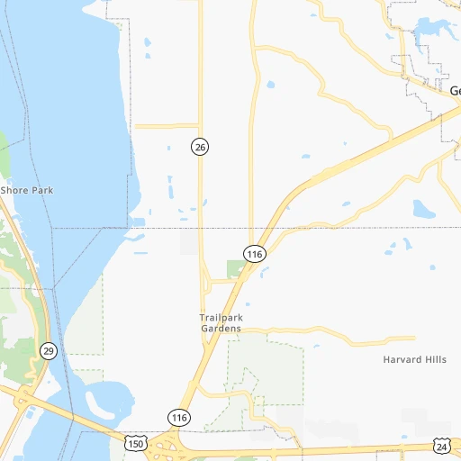
Location Racine (Wisconsin) :
| Country flag | |
| Location | Racine |
| State | Wisconsin |
| County | Racine County |
| Country | United States |
| Country code / ISO 2 | US |
| Latitude | 42.7261300 |
| Longitude | -87.7828500 |
| Altitude | 188 meters |
| Time zone | America/Chicago |


