
How to get from DeKalb (Illinois) to Rockford (Illinois)
Calculate route from DeKalb (Illinois, United States) to Rockford (Illinois, United States).
The flight distance (as the crow flies) between DeKalb and Rockford is 47.4 km.
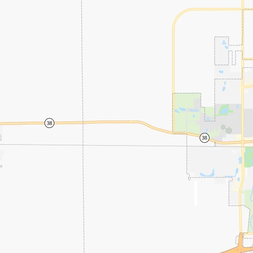
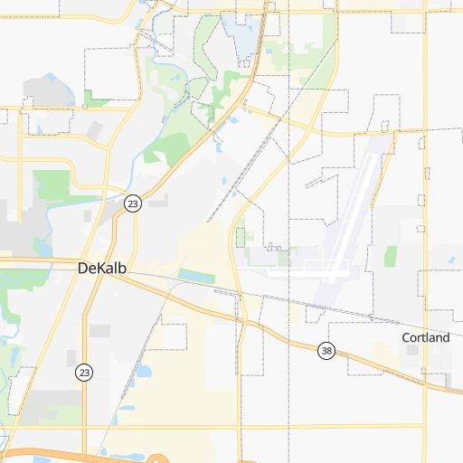
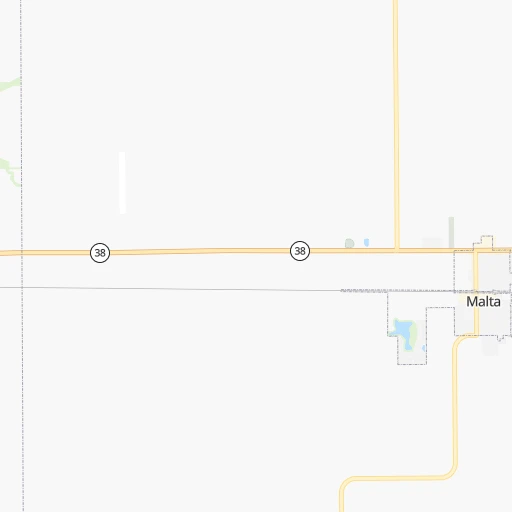
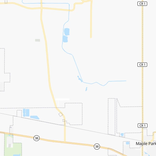
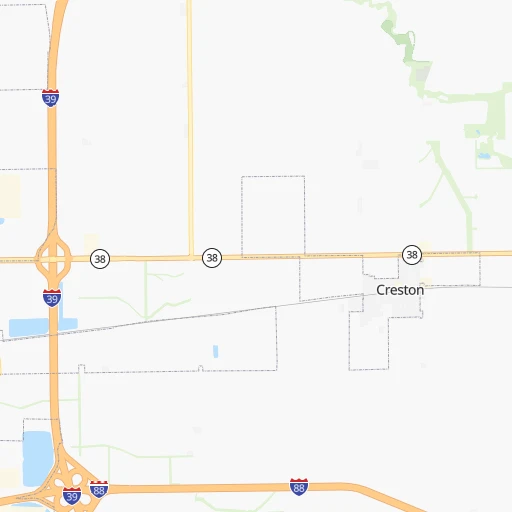
Roadmap (route) to go from DeKalb to Rockford detailed above, you can also see the course layout on the map.
While doing trip DeKalb - Rockford by car, the calculated route ends at a distance , or more straight.
Distance and duration of the route between DeKalb and Rockford
Calculation of distance and route from Rockford to DeKalb :
47.456.8 km1h55mn
Continue onto East Lincoln Highway 0h2mn 1.9 kmKeep right 0h0mn 75 mTurn slight right onto North Annie Glidden Road 0h20mn 22.4 kmTurn left onto Cherry Valley Road 0h19mn 19.3 kmTurn right onto Walnut Street 0h0mn 109 mTurn left onto State Street 0h0mn 198 mKeep right 0h0mn 323 mTurn left onto US 20 0h1mn 1.6 kmKeep right 0h0mn 78 mContinue onto South Mall Drive 0h0mn 38 mTurn left onto Charles Street 0h5mn 4.7 kmTurn left onto Newburg Road 0h0mn 431 mKeep right 0h0mn 113 mTurn slight right onto Parkside Drive 0h0mn 119 mTurn left onto Charles Street 0h4mn 4.1 kmTurn left onto East State Street 0h1mn 1.2 kmArrive at destination 0h0mn 0 m
Travel from DeKalb (Illinois) to a selection of major cities.
Distances from DeKalb to biggest cities in Illinois
- South Lawndale,73,826 inhabitants.87 km
- Logan Square,73,702 inhabitants.87 km
- Decatur,73,254 inhabitants.233 km
- West Ridge,72,211 inhabitants.88 km
- Palatine,69,308 inhabitants.63 km
- Lincoln Park,66,959 inhabitants.91 km
- Portage Park,64,841 inhabitants.82 km
- Skokie,64,821 inhabitants.85 km
- Des Plaines,58,677 inhabitants.73 km
- Orland Park,58,619 inhabitants.82 km
- Tinley Park,57,143 inhabitants.89 km
- Oak Lawn,56,781 inhabitants.86 km
- Irving Park,56,520 inhabitants.84 km
- Berwyn,56,368 inhabitants.80 km
- Chicago Lawn,55,551 inhabitants.89 km
- Uptown,55,137 inhabitants.91 km
- Edgewater,54,873 inhabitants.90 km
- Mount Prospect,54,747 inhabitants.69 km
- Rogers Park,54,402 inhabitants.90 km
- Normal,54,373 inhabitants.159 km
Other major cities in country :
- Seattle [WA], 684,451 inhabitants. 2,705 km
- Denver [CO], 682,545 inhabitants. 1,387 km
- El Paso [TX], 681,124 inhabitants. 1,937 km
- Detroit [MI], 677,116 inhabitants. 473 km
- Boston [MA], 667,137 inhabitants. 1,458 km
- Memphis [TN], 655,770 inhabitants. 763 km
- New South Memphis [TN], 641,608 inhabitants. 770 km
- Portland [OR], 632,309 inhabitants. 2,738 km
- Oklahoma City [OK], 631,346 inhabitants. 1,047 km
- Las Vegas [NV], 623,747 inhabitants. 2,359 km
- Baltimore [MD], 621,849 inhabitants. 1,066 km
- Washington, D.C. [DC], 601,723 inhabitants. 1,048 km
- Milwaukee [WI], 600,155 inhabitants. 142 km
- South Boston [MA], 571,281 inhabitants. 1,459 km
- Albuquerque [NM], 559,121 inhabitants. 1,731 km
- Tucson [AZ], 531,641 inhabitants. 2,237 km
- Nashville [TN], 530,852 inhabitants. 664 km
- Fresno [CA], 520,052 inhabitants. 2,717 km
- Sacramento [CA], 490,712 inhabitants. 2,789 km
- Kansas City [MO], 475,378 inhabitants. 585 km
Route from Rockford to major cities (United States).
- Distance Rockford New York City1,268 km
- Distance Rockford Los Angeles2,695 km
- Distance Rockford Brooklyn1,274 km
- Distance Rockford Houston1,501 km
- Distance Rockford Queens1,283 km
- Distance Rockford Philadelphia1,195 km
- Distance Rockford Phoenix2,236 km
- Distance Rockford Manhattan1,270 km
- Distance Rockford San Antonio1,660 km
- Distance Rockford San Diego2,682 km
- Distance Rockford The Bronx1,276 km
- Distance Rockford Dallas1,255 km
- Distance Rockford San Jose2,840 km
- Distance Rockford Austin1,543 km
- Distance Rockford Jacksonville1,486 km
- Distance Rockford San Francisco2,866 km
- Distance Rockford Columbus572 km
- Distance Rockford Fort Worth1,286 km
- Distance Rockford Indianapolis372 km
- Distance Rockford Charlotte1,061 km
Nearest cities to DeKalb :
- Chicago, 2,720,546 inhabitants. 92 km
- Indianapolis, 829,718 inhabitants. 325 km
- Milwaukee, 600,155 inhabitants. 142 km
- Madison, 248,951 inhabitants. 138 km
- Aurora, 200,661 inhabitants. 40 km
- Rockford, 148,278 inhabitants. 47 km
- Joliet, 147,861 inhabitants. 71 km
- Naperville, 147,100 inhabitants. 52 km
- Cedar Rapids, 130,405 inhabitants. 240 km
- Springfield, 116,565 inhabitants. 249 km
- Peoria, 115,070 inhabitants. 154 km
- North Peoria, 113,004 inhabitants. 152 km
- Elgin, 112,111 inhabitants. 41 km
- Green Bay, 105,207 inhabitants. 294 km
- Davenport, 102,582 inhabitants. 158 km
- South Bend, 101,516 inhabitants. 209 km
- Kenosha, 99,858 inhabitants. 106 km
- Carmel, 88,713 inhabitants. 310 km
- Waukegan, 88,475 inhabitants. 89 km
- West Town, 86,429 inhabitants. 89 km
- Champaign, 86,096 inhabitants. 206 km
- Near North Side, 85,711 inhabitants. 92 km
- Bloomington, 84,067 inhabitants. 361 km
- Cicero, 83,886 inhabitants. 83 km
- Belmont Cragin, 79,159 inhabitants. 81 km
- Bloomington, 78,292 inhabitants. 162 km
- Racine, 77,742 inhabitants. 119 km
- Hammond, 77,614 inhabitants. 111 km
- Gary, 77,156 inhabitants. 122 km
- Fishers, 76,794 inhabitants. 318 km
- Arlington Heights, 75,926 inhabitants. 66 km
- Evanston, 75,527 inhabitants. 89 km
- Schaumburg, 74,693 inhabitants. 56 km
- Bolingbrook, 74,306 inhabitants. 62 km
- Iowa City, 74,220 inhabitants. 233 km
- Appleton, 74,139 inhabitants. 261 km
- South Lawndale, 73,826 inhabitants. 87 km
- Logan Square, 73,702 inhabitants. 87 km
- Decatur, 73,254 inhabitants. 233 km
- West Ridge, 72,211 inhabitants. 88 km
- Waukesha, 71,970 inhabitants. 128 km
- Lafayette, 71,111 inhabitants. 230 km
- Palatine, 69,308 inhabitants. 63 km
- Eau Claire, 67,778 inhabitants. 390 km
- Lincoln Park, 66,959 inhabitants. 91 km
- Oshkosh, 66,555 inhabitants. 234 km
- Portage Park, 64,841 inhabitants. 82 km
- Skokie, 64,821 inhabitants. 85 km
- Janesville, 64,123 inhabitants. 87 km
- Terre Haute, 60,825 inhabitants. 296 km
Location DeKalb (Illinois) :
| Country flag |  |
| Location | DeKalb |
| State | Illinois |
| County | DeKalb County |
| Country | United States |
| Country code / ISO 2 | US |
| Latitude | 41.9294700 |
| Longitude | -88.7503600 |
| Altitude | 268 meters |
| Time zone | America/Chicago |
Location Rockford (Illinois) :
| Country flag | |
| Location | Rockford |
| State | Illinois |
| County | Winnebago County |
| Country | United States |
| Country code / ISO 2 | US |
| Latitude | 42.2711300 |
| Longitude | -89.0940000 |
| Altitude | 218 meters |
| Time zone | America/Chicago |

