

How to get from Willies Bomber Patch (airport) (Iowa) to Waterloo (Iowa)
Calculate route from Willies Bomber Patch (airport) (Iowa, United States) to Waterloo (Iowa, United States).
The flight distance (as the crow flies) between Willies Bomber Patch (airport) and Waterloo is 288.1 km.
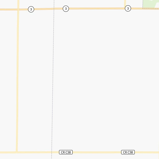
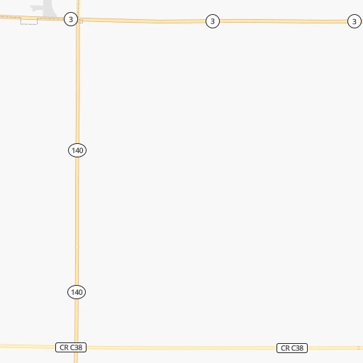
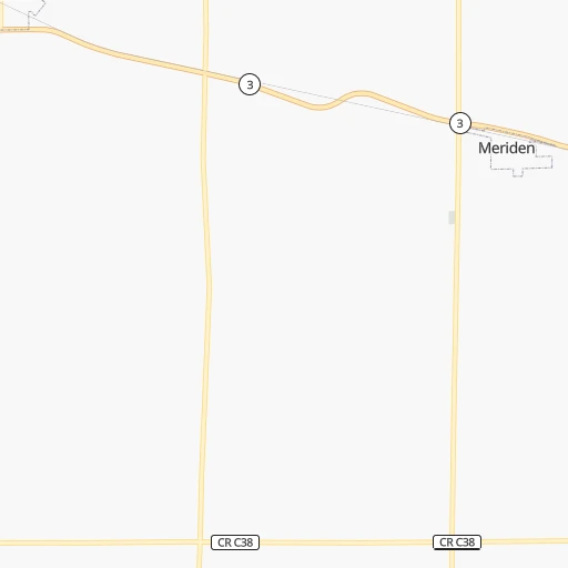
Roadmap (route) to go from Willies Bomber Patch Airport to Waterloo detailed above, you can also see the course layout on the map.
While doing trip Willies Bomber Patch (airport) - Waterloo by car, the calculated route ends at a distance , or more straight.
Distance and duration of the route between Willies Bomber Patch (airport) and Waterloo
Calculation of distance and route from Waterloo to Willies Bomber Patch (airport) :
288.1321.0 km4h48mn
Continue onto 510th Street 0h1mn 508 mTurn right onto B Avenue 0h6mn 3.2 kmTurn left onto 530th Street 0h26mn 32.2 kmKeep right 0h24mn 27.7 kmTurn left onto East Lakeshore Drive 0h3mn 2.9 kmKeep right 0h0mn 52 mTurn slight right onto 130th Avenue 0h13mn 17.8 kmTurn left and take US 20 East toward Fort Dodge 2h24mn 225.5 kmKeep right onto IA 58 and take IA 27 North, IA 58 North toward Cedar Falls, Airport 0h0mn 551 mTurn sharp left onto IA 58 0h1mn 648 mTurn right onto East Ridgeway Avenue 0h4mn 4.2 kmTurn left onto Sergeant Road 0h4mn 4.5 kmTurn right onto University Avenue 0h1mn 637 mTurn right 0h0mn 546 mTurn right onto West 4th Street 0h0mn 23 mArrive at destination 0h0mn 0 m
Travel from Willies Bomber Patch (airport) (Iowa) to a selection of major cities.
Distances from Willies Bomber Patch Airport to biggest cities in Iowa
- Ottumwa,24,624 inhabitants.345 km
- Muscatine,23,968 inhabitants.424 km
- Johnston,20,871 inhabitants.215 km
- Coralville,20,608 inhabitants.372 km
Other major cities in country :
- Charlotte [NC], 827,097 inhabitants. 1,543 km
- Seattle [WA], 684,451 inhabitants. 2,135 km
- Denver [CO], 682,545 inhabitants. 836 km
- El Paso [TX], 681,124 inhabitants. 1,544 km
- Detroit [MI], 677,116 inhabitants. 1,050 km
- Boston [MA], 667,137 inhabitants. 2,025 km
- Memphis [TN], 655,770 inhabitants. 985 km
- New South Memphis [TN], 641,608 inhabitants. 991 km
- Portland [OR], 632,309 inhabitants. 2,155 km
- Oklahoma City [OK], 631,346 inhabitants. 826 km
- Las Vegas [NV], 623,747 inhabitants. 1,808 km
- Baltimore [MD], 621,849 inhabitants. 1,657 km
- Washington, D.C. [DC], 601,723 inhabitants. 1,638 km
- Milwaukee [WI], 600,155 inhabitants. 648 km
- South Boston [MA], 571,281 inhabitants. 2,027 km
- Albuquerque [NM], 559,121 inhabitants. 1,266 km
- Tucson [AZ], 531,641 inhabitants. 1,771 km
- Nashville [TN], 530,852 inhabitants. 1,070 km
- Fresno [CA], 520,052 inhabitants. 2,146 km
- Sacramento [CA], 490,712 inhabitants. 2,206 km
Route from Waterloo to major cities (United States).
- Distance Waterloo New York City1,536 km
- Distance Waterloo Los Angeles2,438 km
- Distance Waterloo Chicago394 km
- Distance Waterloo Brooklyn1,542 km
- Distance Waterloo Houston1,443 km
- Distance Waterloo Queens1,551 km
- Distance Waterloo Philadelphia1,463 km
- Distance Waterloo Phoenix1,996 km
- Distance Waterloo Manhattan1,538 km
- Distance Waterloo San Antonio1,556 km
- Distance Waterloo San Diego2,432 km
- Distance Waterloo The Bronx1,544 km
- Distance Waterloo Dallas1,150 km
- Distance Waterloo San Jose2,574 km
- Distance Waterloo Austin1,444 km
- Distance Waterloo Jacksonville1,655 km
- Distance Waterloo San Francisco2,599 km
- Distance Waterloo Columbus831 km
- Distance Waterloo Fort Worth1,172 km
- Distance Waterloo Indianapolis601 km
Nearest cities to Willies Bomber Patch (airport) :
- Omaha, 443,885 inhabitants. 169 km
- Minneapolis, 410,939 inhabitants. 321 km
- Saint Paul, 285,068 inhabitants. 327 km
- Lincoln, 277,348 inhabitants. 230 km
- Des Moines, 210,330 inhabitants. 226 km
- Sioux Falls, 171,544 inhabitants. 111 km
- Bloomington, 86,435 inhabitants. 308 km
- Sioux City, 82,821 inhabitants. 55 km
- Brooklyn Park, 79,149 inhabitants. 326 km
- Plymouth, 75,907 inhabitants. 314 km
- Maple Grove, 68,385 inhabitants. 320 km
- Woodbury, 67,855 inhabitants. 333 km
- Eagan, 66,286 inhabitants. 312 km
- Saint Cloud, 65,842 inhabitants. 338 km
- Ames, 65,060 inhabitants. 201 km
- West Des Moines, 64,113 inhabitants. 221 km
- Eden Prairie, 63,496 inhabitants. 300 km
- Council Bluffs, 62,597 inhabitants. 168 km
- West Coon Rapids, 62,528 inhabitants. 332 km
- Coon Rapids, 62,240 inhabitants. 332 km
- Blaine, 62,124 inhabitants. 338 km
- Burnsville, 61,481 inhabitants. 303 km
- Lakeville, 60,633 inhabitants. 296 km
- Ankeny, 56,764 inhabitants. 218 km
- Bellevue, 55,510 inhabitants. 182 km
- Minnetonka, 51,669 inhabitants. 303 km
- Grand Island, 51,440 inhabitants. 292 km
- Apple Valley, 51,221 inhabitants. 303 km
- Edina, 50,138 inhabitants. 309 km
- Minnetonka Mills, 50,117 inhabitants. 309 km
- Saint Louis Park, 45,250 inhabitants. 314 km
- Urbandale, 44,062 inhabitants. 217 km
- Mankato, 41,044 inhabitants. 214 km
- Maplewood, 40,567 inhabitants. 333 km
- Shakopee, 39,981 inhabitants. 292 km
- Richfield, 36,216 inhabitants. 312 km
- Cottage Grove, 35,918 inhabitants. 326 km
- Roseville, 35,580 inhabitants. 329 km
- Inver Grove Heights, 34,857 inhabitants. 322 km
- Andover, 32,213 inhabitants. 342 km
- Brooklyn Center, 30,770 inhabitants. 326 km
- Savage, 30,391 inhabitants. 301 km
- Aberdeen, 28,102 inhabitants. 366 km
- Oakdale, 28,080 inhabitants. 336 km
- Fridley, 27,713 inhabitants. 330 km
- Marshalltown, 27,620 inhabitants. 255 km
- Mason City, 27,366 inhabitants. 220 km
- Shoreview, 26,477 inhabitants. 336 km
- Fremont, 26,474 inhabitants. 159 km
- Ramsey, 25,828 inhabitants. 337 km
Location Willies Bomber Patch (airport) (Iowa) :
| Country flag |  |
| Location | Willies Bomber Patch (airport) |
| State | Iowa |
| County | Cherokee County |
| Country | United States |
| Country code / ISO 2 | US |
| Latitude | 42.7749900 |
| Longitude | -95.8461300 |
| Altitude | 435 meters |
| Time zone | America/Chicago |
Location Waterloo (Iowa) :
| Country flag | |
| Location | Waterloo |
| State | Iowa |
| County | Black Hawk County |
| Country | United States |
| Country code / ISO 2 | US |
| Latitude | 42.4927600 |
| Longitude | -92.3429600 |
| Altitude | 261 meters |
| Time zone | America/Chicago |


