


How to get from West Des Moines (Iowa) to Winona (Minnesota)
Calculate route from West Des Moines (Iowa, United States) to Winona (Minnesota, United States).
The flight distance (as the crow flies) between West Des Moines and Winona is 322.5 km.
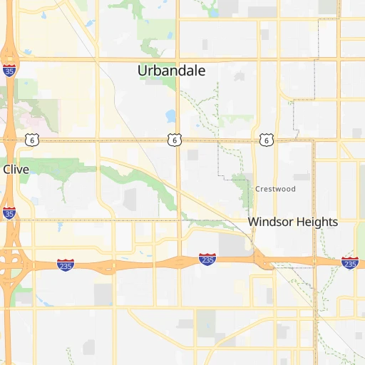
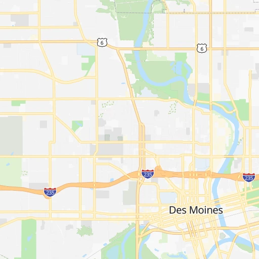
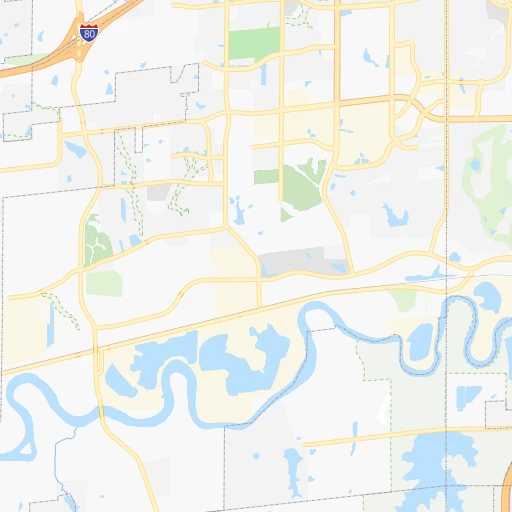
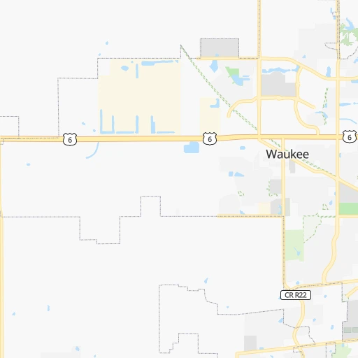
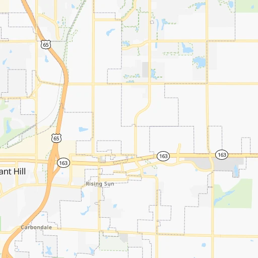
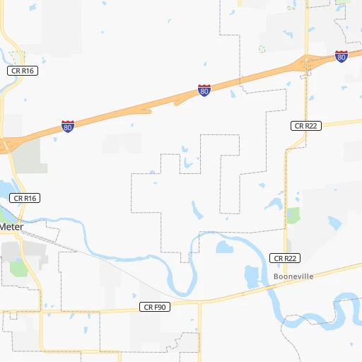
Roadmap (route) to go from West Des Moines to Winona detailed above, you can also see the course layout on the map.
While doing trip West Des Moines - Winona by car, the calculated route ends at a distance , or more straight.
Distance and duration of the route between West Des Moines and Winona
Calculation of distance and route from Winona to West Des Moines :
322.5405.7 km4h17mn
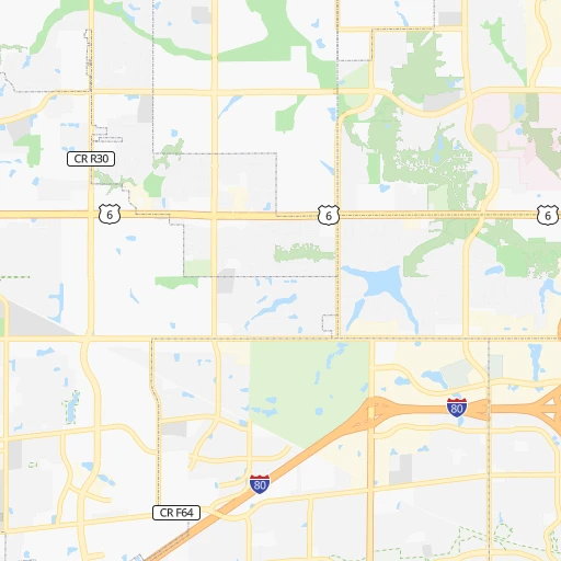
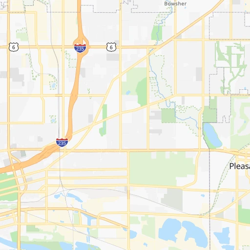
Continue onto Vine Street 0h0mn 319 mTurn left onto 4th Street 0h1mn 595 mTurn right onto Grand Avenue 0h3mn 2.8 kmTurn left onto 42nd Street 0h1mn 659 mKeep right toward I-235 east 2h26mn 243.6 kmKeep right and take CR 46 toward Albert Lea 0h0mn 372 mTurn right onto East Main Street 0h8mn 9.7 kmKeep right and take I 90 East toward Austin 1h3mn 105.8 kmKeep right toward MN 74 0h0mn 420 mTurn sharp left onto Whitewater Avenue 0h1mn 1.4 kmTurn right onto East 15th Street 0h0mn 223 mTurn left onto Richland Avenue 0h1mn 473 mTurn right onto East 11th Street 0h0mn 121 mTurn left onto Bluff Avenue 0h1mn 439 mTurn right onto East 6th Street 0h26mn 34.4 kmKeep right onto US 14 0h1mn 591 mTurn left onto West King Street 0h1mn 295 mTurn left onto Orrin Street 0h0mn 81 mTurn right onto Kramer Drive 0h0mn 150 mContinue onto West Broadway Street 0h4mn 3.2 kmTurn left onto Main Street 0h0mn 13 mArrive at destination 0h0mn 0 m
Travel from West Des Moines (Minnesota) to a selection of major cities.
Distances from West Des Moines to biggest cities in Iowa
- Muscatine,23,968 inhabitants.223 km
- Johnston,20,871 inhabitants.11 km
- Coralville,20,608 inhabitants.178 km
Other major cities in country :
- Charlotte [NC], 827,097 inhabitants. 1,324 km
- Seattle [WA], 684,451 inhabitants. 2,351 km
- Denver [CO], 682,545 inhabitants. 973 km
- El Paso [TX], 681,124 inhabitants. 1,577 km
- Detroit [MI], 677,116 inhabitants. 886 km
- Boston [MA], 667,137 inhabitants. 1,871 km
- Memphis [TN], 655,770 inhabitants. 783 km
- New South Memphis [TN], 641,608 inhabitants. 790 km
- Portland [OR], 632,309 inhabitants. 2,364 km
- Oklahoma City [OK], 631,346 inhabitants. 756 km
- Las Vegas [NV], 623,747 inhabitants. 1,946 km
- Baltimore [MD], 621,849 inhabitants. 1,468 km
- Washington, D.C. [DC], 601,723 inhabitants. 1,446 km
- Milwaukee [WI], 600,155 inhabitants. 505 km
- South Boston [MA], 571,281 inhabitants. 1,872 km
- Albuquerque [NM], 559,121 inhabitants. 1,339 km
- Tucson [AZ], 531,641 inhabitants. 1,847 km
- Nashville [TN], 530,852 inhabitants. 850 km
- Fresno [CA], 520,052 inhabitants. 2,303 km
- Sacramento [CA], 490,712 inhabitants. 2,379 km
Route from Winona to major cities (United States).
- Distance Winona New York City1,494 km
- Distance Winona Los Angeles2,540 km
- Distance Winona Chicago407 km
- Distance Winona Brooklyn1,500 km
- Distance Winona Houston1,624 km
- Distance Winona Queens1,508 km
- Distance Winona Philadelphia1,434 km
- Distance Winona Phoenix2,121 km
- Distance Winona Manhattan1,494 km
- Distance Winona San Antonio1,738 km
- Distance Winona San Diego2,544 km
- Distance Winona The Bronx1,499 km
- Distance Winona Dallas1,332 km
- Distance Winona San Jose2,644 km
- Distance Winona Austin1,626 km
- Distance Winona Jacksonville1,762 km
- Distance Winona San Francisco2,665 km
- Distance Winona Columbus847 km
- Distance Winona Fort Worth1,354 km
- Distance Winona Indianapolis658 km
Nearest cities to West Des Moines :
- Kansas City, 475,378 inhabitants. 285 km
- Omaha, 443,885 inhabitants. 189 km
- Lincoln, 277,348 inhabitants. 262 km
- Des Moines, 210,330 inhabitants. 9 km
- Overland Park, 186,515 inhabitants. 300 km
- Sioux Falls, 171,544 inhabitants. 329 km
- Kansas City, 151,306 inhabitants. 285 km
- Olathe, 134,305 inhabitants. 315 km
- Cedar Rapids, 130,405 inhabitants. 178 km
- Topeka, 127,265 inhabitants. 327 km
- Columbia, 119,108 inhabitants. 315 km
- Independence, 117,255 inhabitants. 283 km
- Rochester, 112,225 inhabitants. 290 km
- East Independence, 110,675 inhabitants. 282 km
- Lee's Summit, 95,094 inhabitants. 302 km
- Lawrence, 93,917 inhabitants. 318 km
- Sioux City, 82,821 inhabitants. 245 km
- Saint Joseph, 76,780 inhabitants. 223 km
- Iowa City, 74,220 inhabitants. 182 km
- Waterloo, 68,460 inhabitants. 152 km
- Ames, 65,060 inhabitants. 51 km
- Shawnee, 65,046 inhabitants. 295 km
- West Des Moines, 64,113 inhabitants. 0 km
- Council Bluffs, 62,597 inhabitants. 183 km
- Ankeny, 56,764 inhabitants. 19 km
- Manhattan, 56,308 inhabitants. 360 km
- Bellevue, 55,510 inhabitants. 189 km
- Blue Springs, 54,148 inhabitants. 289 km
- Lenexa, 52,490 inhabitants. 305 km
- La Crosse, 52,306 inhabitants. 320 km
- North La Crosse, 50,470 inhabitants. 323 km
- Urbandale, 44,062 inhabitants. 6 km
- Cedar Falls, 41,255 inhabitants. 149 km
- Mankato, 41,044 inhabitants. 288 km
- Quincy, 40,780 inhabitants. 267 km
- Marion, 37,330 inhabitants. 183 km
- Leavenworth, 35,980 inhabitants. 272 km
- Wentzville, 35,603 inhabitants. 392 km
- Leawood, 34,579 inhabitants. 301 km
- Liberty, 30,450 inhabitants. 266 km
- Raytown, 29,401 inhabitants. 293 km
- Marshalltown, 27,620 inhabitants. 85 km
- Mason City, 27,366 inhabitants. 180 km
- Winona, 27,094 inhabitants. 323 km
- Gladstone, 26,861 inhabitants. 274 km
- Fremont, 26,474 inhabitants. 233 km
- Owatonna, 25,725 inhabitants. 282 km
- Burlington, 25,410 inhabitants. 234 km
- Grandview, 25,256 inhabitants. 308 km
- Fort Dodge, 24,649 inhabitants. 109 km
Location West Des Moines (Iowa) :
| Country flag |  |
| Location | West Des Moines |
| State | Iowa |
| County | Polk County |
| Country | United States |
| Country code / ISO 2 | US |
| Latitude | 41.5772100 |
| Longitude | -93.7113300 |
| Altitude | 252 meters |
| Time zone | America/Chicago |
Location Winona (Minnesota) :
| Country flag | |
| Location | Winona |
| State | Minnesota |
| County | Winona County |
| Country | United States |
| Country code / ISO 2 | US |
| Latitude | 44.0499600 |
| Longitude | -91.6393200 |
| Altitude | 203 meters |
| Time zone | America/Chicago |

