
Home
››
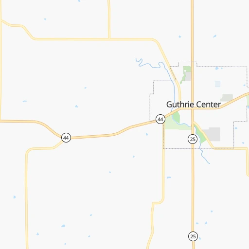
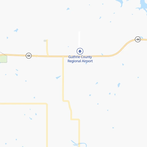
Guthrie Center Municipal Airport
››
Roadmap from Guthrie Center Municipal Airport to Indianola
How to get from Guthrie Center Municipal (airport) (Iowa) to Indianola (Iowa)
Calculate route from Guthrie Center Municipal (airport) (Iowa, United States) to Indianola (Iowa, United States).
The flight distance (as the crow flies) between Guthrie Center Municipal (airport) and Indianola is 87.2 km.
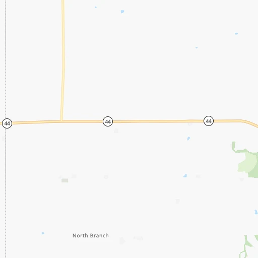
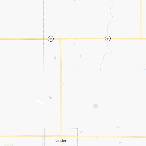
Roadmap (route) to go from Guthrie Center Municipal Airport to Indianola detailed above, you can also see the course layout on the map.
While doing trip Guthrie Center Municipal (airport) - Indianola by car, the calculated route ends at a distance , or more straight.
Distance and duration of the route between Guthrie Center Municipal (airport) and Indianola
Calculation of distance and route from Indianola to Guthrie Center Municipal (airport) :
87.2114.7 km2h31mn
Continue onto 222 Street 0h1mn 367 mTurn right onto North 1st Street 0h1mn 873 mTurn sharp left onto State Street 1h33mn 40.7 kmKeep right 0h0mn 48 mTurn slight right onto N Avenue 0h7mn 8.3 kmTurn left onto Greene Street 0h16mn 20.0 kmTurn right toward I-35 south, I-80 west 0h1mn 1.9 kmKeep left onto I 35 0h5mn 7.4 kmKeep right and take IA 5 toward Des Moines International Airport, West Des Moines, Norwalk 0h12mn 17.9 kmKeep right and take US 65 South, US 69 South toward Indianola 0h16mn 17.2 kmTurn left onto East 2nd Avenue 0h0mn 53 mTurn right 0h0mn 25 mArrive at destination 0h0mn 0 m
Travel from Guthrie Center Municipal (airport) (Iowa) to a selection of major cities.
Distances from Guthrie Center Municipal Airport to biggest cities in Iowa
- Ottumwa,24,624 inhabitants.190 km
- Muscatine,23,968 inhabitants.290 km
- Johnston,20,871 inhabitants.68 km
- Coralville,20,608 inhabitants.244 km
Other major cities in country :
- Charlotte [NC], 827,097 inhabitants. 1,389 km
- Seattle [WA], 684,451 inhabitants. 2,286 km
- Denver [CO], 682,545 inhabitants. 909 km
- El Paso [TX], 681,124 inhabitants. 1,534 km
- Detroit [MI], 677,116 inhabitants. 951 km
- Boston [MA], 667,137 inhabitants. 1,935 km
- Memphis [TN], 655,770 inhabitants. 825 km
- New South Memphis [TN], 641,608 inhabitants. 830 km
- Portland [OR], 632,309 inhabitants. 2,298 km
- Oklahoma City [OK], 631,346 inhabitants. 739 km
- Las Vegas [NV], 623,747 inhabitants. 1,883 km
- Baltimore [MD], 621,849 inhabitants. 1,536 km
- Washington, D.C. [DC], 601,723 inhabitants. 1,513 km
- Milwaukee [WI], 600,155 inhabitants. 564 km
- South Boston [MA], 571,281 inhabitants. 1,936 km
- Albuquerque [NM], 559,121 inhabitants. 1,287 km
- Tucson [AZ], 531,641 inhabitants. 1,795 km
- Nashville [TN], 530,852 inhabitants. 908 km
- Fresno [CA], 520,052 inhabitants. 2,238 km
- Sacramento [CA], 490,712 inhabitants. 2,313 km
Route from Indianola to major cities (United States).
- Distance Indianola New York City1,640 km
- Distance Indianola Los Angeles2,311 km
- Distance Indianola Chicago495 km
- Distance Indianola Brooklyn1,646 km
- Distance Indianola Houston1,301 km
- Distance Indianola Queens1,654 km
- Distance Indianola Philadelphia1,558 km
- Distance Indianola Phoenix1,854 km
- Distance Indianola Manhattan1,642 km
- Distance Indianola San Antonio1,401 km
- Distance Indianola San Diego2,298 km
- Distance Indianola The Bronx1,649 km
- Distance Indianola Dallas997 km
- Distance Indianola San Jose2,469 km
- Distance Indianola Austin1,291 km
- Distance Indianola Jacksonville1,628 km
- Distance Indianola San Francisco2,497 km
- Distance Indianola Columbus904 km
- Distance Indianola Fort Worth1,017 km
- Distance Indianola Indianapolis650 km
Nearest cities to Guthrie Center Municipal (airport) :
- Kansas City, 475,378 inhabitants. 288 km
- Omaha, 443,885 inhabitants. 128 km
- Lincoln, 277,348 inhabitants. 205 km
- Des Moines, 210,330 inhabitants. 76 km
- Overland Park, 186,515 inhabitants. 301 km
- Sioux Falls, 171,544 inhabitants. 274 km
- Kansas City, 151,306 inhabitants. 286 km
- Olathe, 134,305 inhabitants. 313 km
- Cedar Rapids, 130,405 inhabitants. 241 km
- Topeka, 127,265 inhabitants. 309 km
- Columbia, 119,108 inhabitants. 356 km
- Independence, 117,255 inhabitants. 289 km
- Rochester, 112,225 inhabitants. 309 km
- East Independence, 110,675 inhabitants. 288 km
- Lee's Summit, 95,094 inhabitants. 309 km
- Lawrence, 93,917 inhabitants. 308 km
- Sioux City, 82,821 inhabitants. 181 km
- Saint Joseph, 76,780 inhabitants. 215 km
- Iowa City, 74,220 inhabitants. 248 km
- Waterloo, 68,460 inhabitants. 201 km
- Ames, 65,060 inhabitants. 84 km
- Shawnee, 65,046 inhabitants. 294 km
- West Des Moines, 64,113 inhabitants. 68 km
- Council Bluffs, 62,597 inhabitants. 122 km
- Lakeville, 60,633 inhabitants. 346 km
- Ankeny, 56,764 inhabitants. 76 km
- Manhattan, 56,308 inhabitants. 328 km
- Bellevue, 55,510 inhabitants. 130 km
- Blue Springs, 54,148 inhabitants. 297 km
- Lenexa, 52,490 inhabitants. 304 km
- Urbandale, 44,062 inhabitants. 67 km
- Cedar Falls, 41,255 inhabitants. 195 km
- Mankato, 41,044 inhabitants. 279 km
- Marion, 37,330 inhabitants. 245 km
- Leavenworth, 35,980 inhabitants. 266 km
- Leawood, 34,579 inhabitants. 302 km
- Liberty, 30,450 inhabitants. 271 km
- Raytown, 29,401 inhabitants. 298 km
- Marshalltown, 27,620 inhabitants. 139 km
- Mason City, 27,366 inhabitants. 196 km
- Winona, 27,094 inhabitants. 353 km
- Gladstone, 26,861 inhabitants. 276 km
- Fremont, 26,474 inhabitants. 168 km
- Owatonna, 25,725 inhabitants. 287 km
- Grandview, 25,256 inhabitants. 311 km
- Fort Dodge, 24,649 inhabitants. 95 km
- Ottumwa, 24,624 inhabitants. 190 km
- Junction City, 24,621 inhabitants. 355 km
- Austin, 24,563 inhabitants. 254 km
- Norfolk, 24,366 inhabitants. 244 km
Location Guthrie Center Municipal (airport) (Iowa) :
| Country flag |  |
| Location | Guthrie Center Municipal (airport) |
| State | Iowa |
| County | Guthrie County |
| Country | United States |
| Country code / ISO 2 | US |
| Latitude | 41.6819300 |
| Longitude | -94.5127500 |
| Altitude | 326 meters |
| Time zone | America/Chicago |
Location Indianola (Iowa) :
| Country flag | |
| Location | Indianola |
| State | Iowa |
| County | Warren County |
| Country | United States |
| Country code / ISO 2 | US |
| Latitude | 41.3580500 |
| Longitude | -93.5574400 |
| Altitude | 295 meters |
| Time zone | America/Chicago |