
How to get from Cedar Rapids (Iowa) to Muscatine (Iowa)
Calculate route from Cedar Rapids (Iowa, United States) to Muscatine (Iowa, United States).
The flight distance (as the crow flies) between Cedar Rapids and Muscatine is 81.8 km.
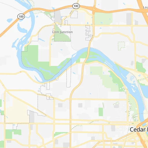
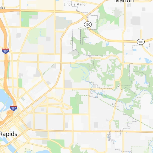
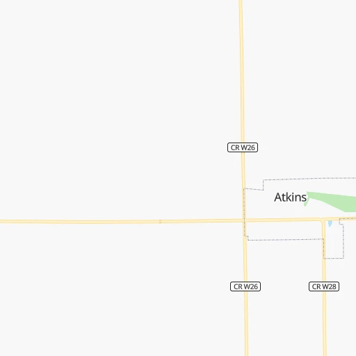
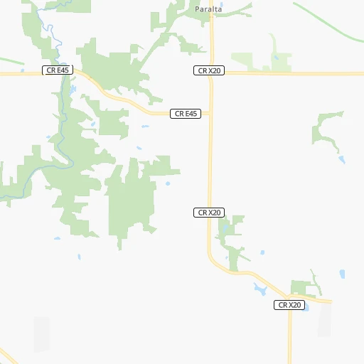
Roadmap (route) to go from Cedar Rapids to Muscatine detailed above, you can also see the course layout on the map.
While doing trip Cedar Rapids - Muscatine by car, the calculated route ends at a distance , or more straight.
Distance and duration of the route between Cedar Rapids and Muscatine
Calculation of distance and route from Muscatine to Cedar Rapids :
81.8107.0 km1h23mn
Continue onto G Avenue Northeast 0h0mn 214 mTurn right onto 29th Street Northeast 0h2mn 1.9 kmTurn left 0h28mn 44.5 kmKeep right 0h1mn 607 mTurn sharp left onto Highway 1 West 0h25mn 30.4 kmTurn left onto East A Street 0h9mn 9.7 kmContinue onto State Highway 22 0h16mn 17.3 kmAt roundabout, take exit 2 onto Cedar Street 0h2mn 2.1 kmTurn left onto East 5th Street 0h0mn 109 mTurn right onto Walnut Street 0h0mn 172 mArrive at destination 0h0mn 0 m
Travel from Cedar Rapids (Iowa) to a selection of major cities.
Distances from Cedar Rapids to biggest cities in Iowa
- Muscatine,23,968 inhabitants.82 km
- Johnston,20,871 inhabitants.174 km
- Coralville,20,608 inhabitants.37 km
Other major cities in country :
- Charlotte [NC], 827,097 inhabitants. 1,203 km
- Seattle [WA], 684,451 inhabitants. 2,485 km
- Denver [CO], 682,545 inhabitants. 1,150 km
- El Paso [TX], 681,124 inhabitants. 1,741 km
- Detroit [MI], 677,116 inhabitants. 710 km
- Boston [MA], 667,137 inhabitants. 1,694 km
- Memphis [TN], 655,770 inhabitants. 776 km
- New South Memphis [TN], 641,608 inhabitants. 783 km
- Portland [OR], 632,309 inhabitants. 2,509 km
- Oklahoma City [OK], 631,346 inhabitants. 888 km
- Las Vegas [NV], 623,747 inhabitants. 2,123 km
- Baltimore [MD], 621,849 inhabitants. 1,303 km
- Washington, D.C. [DC], 601,723 inhabitants. 1,283 km
- Milwaukee [WI], 600,155 inhabitants. 327 km
- South Boston [MA], 571,281 inhabitants. 1,695 km
- Albuquerque [NM], 559,121 inhabitants. 1,514 km
- Tucson [AZ], 531,641 inhabitants. 2,022 km
- Nashville [TN], 530,852 inhabitants. 774 km
- Fresno [CA], 520,052 inhabitants. 2,478 km
- Sacramento [CA], 490,712 inhabitants. 2,550 km
Route from Muscatine to major cities (United States).
- Distance Muscatine New York City1,430 km
- Distance Muscatine Los Angeles2,519 km
- Distance Muscatine Chicago286 km
- Distance Muscatine Brooklyn1,436 km
- Distance Muscatine Houston1,355 km
- Distance Muscatine Queens1,444 km
- Distance Muscatine Philadelphia1,348 km
- Distance Muscatine Phoenix2,053 km
- Distance Muscatine Manhattan1,432 km
- Distance Muscatine San Antonio1,496 km
- Distance Muscatine San Diego2,502 km
- Distance Muscatine The Bronx1,439 km
- Distance Muscatine Dallas1,089 km
- Distance Muscatine San Jose2,679 km
- Distance Muscatine Austin1,380 km
- Distance Muscatine Jacksonville1,495 km
- Distance Muscatine San Francisco2,707 km
- Distance Muscatine Columbus698 km
- Distance Muscatine Fort Worth1,117 km
- Distance Muscatine Indianapolis452 km
Nearest cities to Cedar Rapids :
- Kansas City, 475,378 inhabitants. 408 km
- Minneapolis, 410,939 inhabitants. 356 km
- Saint Paul, 285,068 inhabitants. 347 km
- Madison, 248,951 inhabitants. 219 km
- Des Moines, 210,330 inhabitants. 169 km
- Kansas City, 151,306 inhabitants. 409 km
- Rockford, 148,278 inhabitants. 213 km
- Cedar Rapids, 130,405 inhabitants. 0 km
- Independence, 117,255 inhabitants. 400 km
- Springfield, 116,565 inhabitants. 298 km
- Peoria, 115,070 inhabitants. 226 km
- North Peoria, 113,004 inhabitants. 224 km
- Rochester, 112,225 inhabitants. 234 km
- East Independence, 110,675 inhabitants. 397 km
- Davenport, 102,582 inhabitants. 104 km
- Bloomington, 86,435 inhabitants. 342 km
- Bloomington, 78,292 inhabitants. 279 km
- Iowa City, 74,220 inhabitants. 40 km
- Decatur, 73,254 inhabitants. 331 km
- Waterloo, 68,460 inhabitants. 79 km
- Woodbury, 67,855 inhabitants. 341 km
- Eau Claire, 67,778 inhabitants. 312 km
- Eagan, 66,286 inhabitants. 335 km
- Ames, 65,060 inhabitants. 163 km
- Janesville, 64,123 inhabitants. 229 km
- West Des Moines, 64,113 inhabitants. 178 km
- Eden Prairie, 63,496 inhabitants. 350 km
- Burnsville, 61,481 inhabitants. 334 km
- Lakeville, 60,633 inhabitants. 321 km
- Dubuque, 58,799 inhabitants. 98 km
- Ankeny, 56,764 inhabitants. 166 km
- Normal, 54,373 inhabitants. 277 km
- Blue Springs, 54,148 inhabitants. 401 km
- La Crosse, 52,306 inhabitants. 202 km
- Minnetonka, 51,669 inhabitants. 357 km
- Apple Valley, 51,221 inhabitants. 329 km
- North La Crosse, 50,470 inhabitants. 207 km
- Edina, 50,138 inhabitants. 349 km
- Minnetonka Mills, 50,117 inhabitants. 357 km
- Saint Louis Park, 45,250 inhabitants. 355 km
- Urbandale, 44,062 inhabitants. 177 km
- DeKalb, 43,211 inhabitants. 240 km
- Moline, 42,681 inhabitants. 109 km
- Cedar Falls, 41,255 inhabitants. 88 km
- Mankato, 41,044 inhabitants. 307 km
- Quincy, 40,780 inhabitants. 232 km
- Maplewood, 40,567 inhabitants. 345 km
- Shakopee, 39,981 inhabitants. 346 km
- Wausau, 39,094 inhabitants. 367 km
- Rock Island, 38,620 inhabitants. 104 km
Location Cedar Rapids (Iowa) :
| Country flag |  |
| Location | Cedar Rapids |
| State | Iowa |
| County | Linn County |
| Country | United States |
| Country code / ISO 2 | US |
| Latitude | 42.0083300 |
| Longitude | -91.6440700 |
| Altitude | 247 meters |
| Time zone | America/Chicago |
Location Muscatine (Iowa) :
| Country flag | |
| Location | Muscatine |
| State | Iowa |
| County | Muscatine County |
| Country | United States |
| Country code / ISO 2 | US |
| Latitude | 41.4244700 |
| Longitude | -91.0432100 |
| Altitude | 177 meters |
| Time zone | America/Chicago |


