
How to get from Gallup Farm (Connecticut) to West Torrington (Connecticut)
Calculate route from Gallup Farm (Connecticut, United States) to West Torrington (Connecticut, United States).
The flight distance (as the crow flies) between Gallup Farm and West Torrington is 113.1 km.
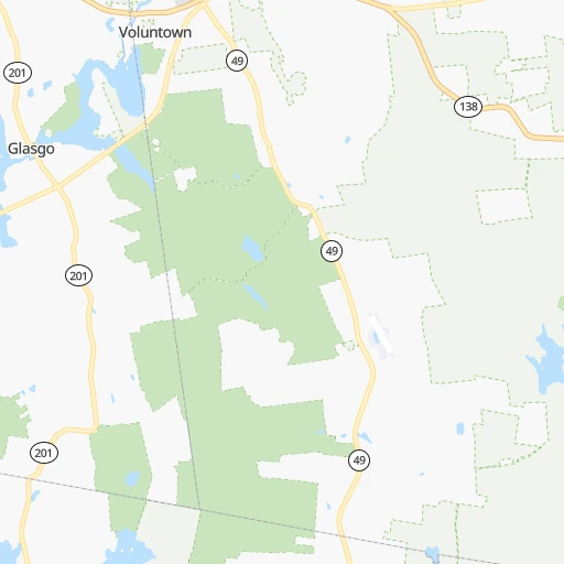
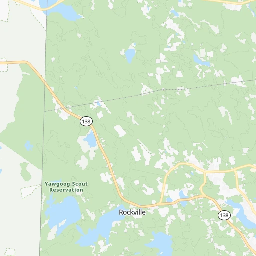
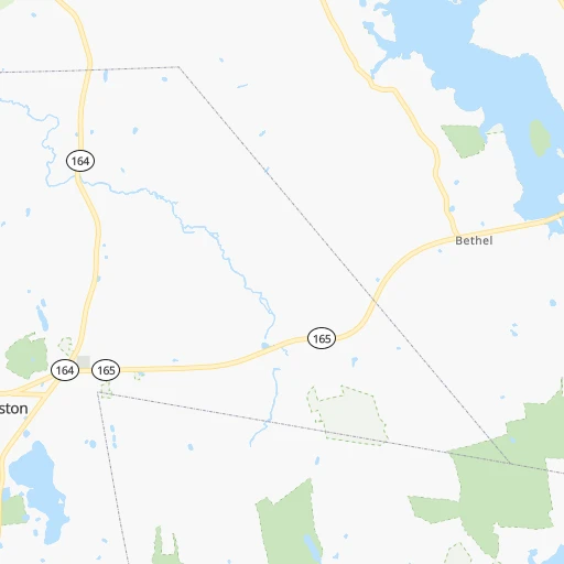
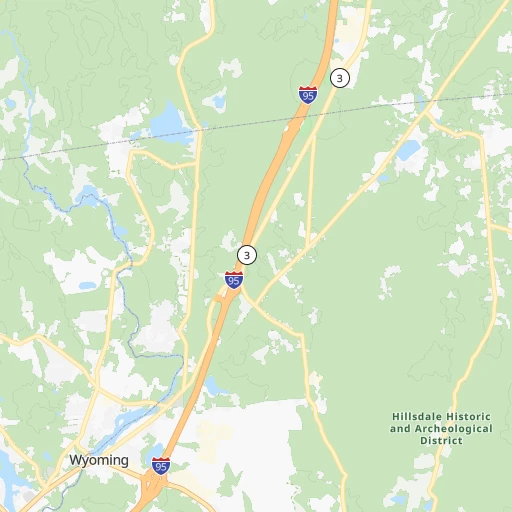
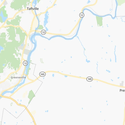
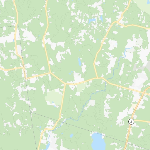
Roadmap (route) to go from Gallup Farm to West Torrington detailed above, you can also see the course layout on the map.
While doing trip Gallup Farm - West Torrington by car, the calculated route ends at a distance , or more straight.
Distance and duration of the route between Gallup Farm and West Torrington
Calculation of distance and route from West Torrington to Gallup Farm :
113.1131.3 km2h43mn
Continue onto Gallup Road 0h1mn 378 mTurn right onto Pendleton Hill Road 0h5mn 4.6 kmTurn right onto Beach Drive 0h0mn 53 mKeep left 0h0mn 40 mTurn left onto Main Street 0h9mn 9.9 kmTurn left onto Griswold Expressway 0h0mn 430 mContinue 0h7mn 12.0 kmKeep right and drive toward Hartford, Colchester 0h0mn 340 mTurn right onto West Town Street 0h2mn 2.1 kmTurn left and take CT 2 West toward Hartford 1h37mn 55.5 kmKeep left onto CT 2 and take CT 2 West, I 84 West, I 91 North toward Downtown Hartford 0h0mn 113 mKeep right toward I 84 West, I 91 North 0h1mn 1.5 kmKeep right onto US 44 and take US 44 West toward Main Street, New Haven 0h0mn 558 mTurn right onto Main Street 0h23mn 23.1 kmKeep left onto US 202 0h15mn 17.6 kmTurn right onto East Elm Street 0h3mn 3.1 kmTurn right onto Mountain Road 0h0mn 29 mArrive at destination 0h0mn 0 m
Travel from Gallup Farm (Connecticut) to a selection of major cities.
Distances from Gallup Farm to biggest cities in Connecticut
- Middletown,46,756 inhabitants.68 km
- Enfield,45,212 inhabitants.80 km
- Shelton,41,296 inhabitants.108 km
- Norwich,39,899 inhabitants.20 km
- Trumbull,36,018 inhabitants.119 km
- West Torrington,36,000 inhabitants.113 km
- Torrington,34,906 inhabitants.111 km
- Glastonbury,31,876 inhabitants.67 km
- Naugatuck,31,538 inhabitants.101 km
- Manchester,30,577 inhabitants.63 km
- Newington,30,562 inhabitants.76 km
- Cheshire,29,443 inhabitants.89 km
- Branford,29,438 inhabitants.87 km
- East Haven,29,257 inhabitants.91 km
- Windsor,28,778 inhabitants.76 km
- New London,27,179 inhabitants.30 km
- Wethersfield,26,668 inhabitants.71 km
- Mansfield City,26,439 inhabitants.42 km
- Westport,26,391 inhabitants.135 km
- Farmington,25,000 inhabitants.85 km
Other major cities in country :
- Charlotte [NC], 827,097 inhabitants. 1,053 km
- Seattle [WA], 684,451 inhabitants. 3,989 km
- Denver [CO], 682,545 inhabitants. 2,790 km
- El Paso [TX], 681,124 inhabitants. 3,255 km
- Detroit [MI], 677,116 inhabitants. 932 km
- Boston [MA], 667,137 inhabitants. 112 km
- Memphis [TN], 655,770 inhabitants. 1,737 km
- New South Memphis [TN], 641,608 inhabitants. 1,741 km
- Portland [OR], 632,309 inhabitants. 4,058 km
- Oklahoma City [OK], 631,346 inhabitants. 2,327 km
- Las Vegas [NV], 623,747 inhabitants. 3,761 km
- Baltimore [MD], 621,849 inhabitants. 476 km
- Washington, D.C. [DC], 601,723 inhabitants. 531 km
- Milwaukee [WI], 600,155 inhabitants. 1,332 km
- South Boston [MA], 571,281 inhabitants. 110 km
- Albuquerque [NM], 559,121 inhabitants. 3,102 km
- Tucson [AZ], 531,641 inhabitants. 3,598 km
- Nashville [TN], 530,852 inhabitants. 1,425 km
- Fresno [CA], 520,052 inhabitants. 4,120 km
- Sacramento [CA], 490,712 inhabitants. 4,185 km
Route from West Torrington to major cities (United States).
- Distance West Torrington New York City143 km
- Distance West Torrington Los Angeles4,005 km
- Distance West Torrington Chicago1,202 km
- Distance West Torrington Brooklyn147 km
- Distance West Torrington Houston2,402 km
- Distance West Torrington Queens139 km
- Distance West Torrington Philadelphia268 km
- Distance West Torrington Phoenix3,524 km
- Distance West Torrington Manhattan134 km
- Distance West Torrington San Antonio2,662 km
- Distance West Torrington San Diego3,983 km
- Distance West Torrington The Bronx124 km
- Distance West Torrington Dallas2,314 km
- Distance West Torrington San Jose4,156 km
- Distance West Torrington Austin2,547 km
- Distance West Torrington Jacksonville1,489 km
- Distance West Torrington San Francisco4,181 km
- Distance West Torrington Columbus854 km
- Distance West Torrington Fort Worth2,358 km
- Distance West Torrington Indianapolis1,119 km
Nearest cities to Gallup Farm :
- New York City, 8,175,133 inhabitants. 204 km
- Brooklyn, 2,300,664 inhabitants. 203 km
- Queens, 2,272,771 inhabitants. 193 km
- Manhattan, 1,487,536 inhabitants. 197 km
- The Bronx, 1,385,108 inhabitants. 186 km
- Boston, 667,137 inhabitants. 112 km
- South Boston, 571,281 inhabitants. 110 km
- Staten Island, 468,730 inhabitants. 222 km
- Newark, 281,944 inhabitants. 215 km
- Jersey City, 264,290 inhabitants. 208 km
- Jamaica, 216,866 inhabitants. 190 km
- Yonkers, 201,116 inhabitants. 185 km
- Worcester, 184,815 inhabitants. 81 km
- Harlem, 181,259 inhabitants. 194 km
- Providence, 179,207 inhabitants. 48 km
- East Flatbush, 178,464 inhabitants. 201 km
- East New York, 173,198 inhabitants. 197 km
- Springfield, 154,341 inhabitants. 89 km
- Washington Heights, 152,613 inhabitants. 192 km
- Astoria, 150,165 inhabitants. 195 km
- Borough Park, 149,248 inhabitants. 207 km
- Paterson, 147,754 inhabitants. 207 km
- Bridgeport, 147,629 inhabitants. 122 km
- New Haven, 130,322 inhabitants. 95 km
- Elizabeth, 129,007 inhabitants. 222 km
- Stamford, 128,874 inhabitants. 152 km
- Sunset Park, 126,000 inhabitants. 208 km
- Hartford, 124,006 inhabitants. 75 km
- Sheepshead Bay, 122,534 inhabitants. 206 km
- North Stamford, 121,230 inhabitants. 149 km
- East Harlem, 115,921 inhabitants. 195 km
- Elmhurst, 113,364 inhabitants. 193 km
- Bushwick, 112,620 inhabitants. 198 km
- Gravesend, 112,229 inhabitants. 207 km
- Lowell, 110,699 inhabitants. 130 km
- Cambridge, 110,402 inhabitants. 111 km
- Manchester, 110,229 inhabitants. 166 km
- Corona, 109,698 inhabitants. 191 km
- Waterbury, 108,802 inhabitants. 101 km
- Edison, 102,548 inhabitants. 244 km
- Richmond Hill, 98,984 inhabitants. 192 km
- Albany, 98,469 inhabitants. 202 km
- Brockton, 95,314 inhabitants. 91 km
- New Bedford, 94,958 inhabitants. 76 km
- Fordham, 94,678 inhabitants. 189 km
- West Albany, 93,794 inhabitants. 205 km
- Quincy, 93,618 inhabitants. 106 km
- Flatbush, 93,361 inhabitants. 204 km
- Lynn, 92,457 inhabitants. 127 km
- Newton, 88,817 inhabitants. 103 km
Location Gallup Farm (Connecticut) :
| Country flag |  |
| Location | Gallup Farm |
| State | Connecticut |
| County | New London County |
| Country | United States |
| Country code / ISO 2 | US |
| Latitude | 41.5354900 |
| Longitude | -71.8350800 |
| Altitude | 130 meters |
| Time zone | America/New_York |
Location West Torrington (Connecticut) :
| Country flag | |
| Location | West Torrington |
| State | Connecticut |
| County | Litchfield County |
| Country | United States |
| Country code / ISO 2 | US |
| Latitude | 41.8184300 |
| Longitude | -73.1437200 |
| Altitude | 193 meters |
| Time zone | America/New_York |
