
How to get from Highland Springs (Virginia) to High Point (North Carolina)
Calculate route from Highland Springs (Virginia, United States) to High Point (North Carolina, United States).
The flight distance (as the crow flies) between Highland Springs and High Point is 296.7 km.
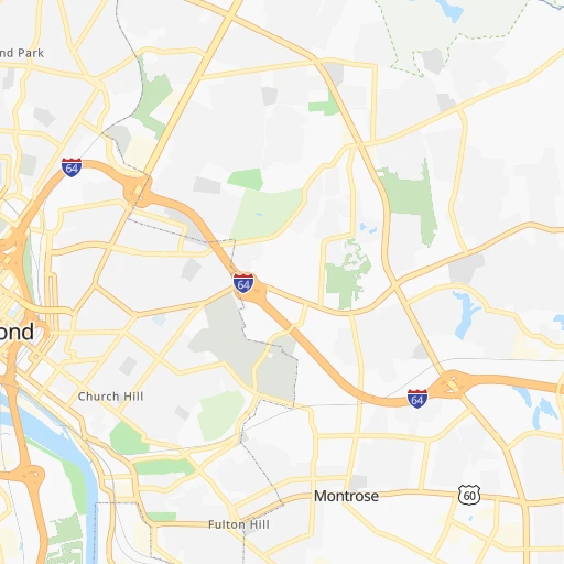
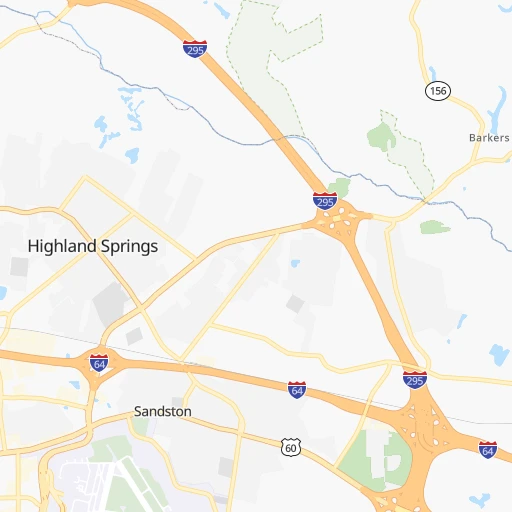
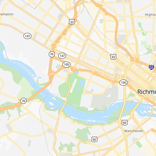
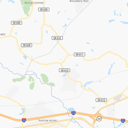
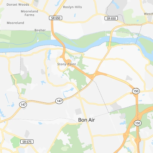
Roadmap (route) to go from Highland Springs to High Point detailed above, you can also see the course layout on the map.
While doing trip Highland Springs - High Point by car, the calculated route ends at a distance , or more straight.
Distance and duration of the route between Highland Springs and High Point
Calculation of distance and route from High Point to Highland Springs :
296.7350.0 km4h46mn
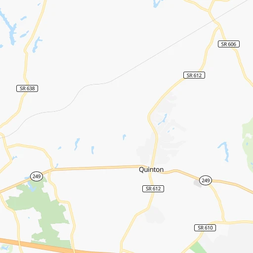
Continue onto South Holly Avenue 0h2mn 1.6 kmContinue onto Oakleys Lane 0h2mn 2.1 kmTurn right onto Williamsburg Road 0h1mn 650 mTurn sharp left onto South Laburnum Avenue 0h6mn 7.7 kmKeep right toward VA 895 West 0h3mn 4.5 kmKeep right and take I 95 South toward Petersburg 0h18mn 25.3 kmKeep right and drive toward Washington Street, Wythe Street, Petersburg National Battlefield 0h0mn 239 mKeep right and take US 301 North toward Washington Street 0h7mn 7.2 kmKeep right 1h16mn 128.0 kmKeep right onto I 85 0h4mn 7.4 kmKeep left onto I 85 1h39mn 63.6 kmKeep left onto I 85, US 70 1h44mn 68.0 kmKeep right onto I 40 0h8mn 12.3 kmKeep left onto US 29 and take I 85 Business South, US 29 South, US 70 West toward Charlotte 0h5mn 8.6 kmKeep right onto I 85 BUS, US 29 toward US 70 West, US 29 South 0h6mn 7.6 kmKeep right 0h0mn 397 mTurn right onto Baker Road 0h0mn 177 mTurn left onto Triangle Lake Road 0h5mn 4.4 kmTurn right onto South Main Street 0h0mn 213 mArrive at destination 0h0mn 0 m
Travel from Highland Springs (North Carolina) to a selection of major cities.
Distances from Highland Springs to biggest cities in Virginia
- Leesburg,51,209 inhabitants.176 km
- McLean,48,115 inhabitants.155 km
- Charlottesville,46,597 inhabitants.115 km
- Tuckahoe,44,990 inhabitants.21 km
- Blacksburg,44,215 inhabitants.275 km
- Ashburn,43,511 inhabitants.167 km
- Danville,42,082 inhabitants.212 km
- Manassas,41,764 inhabitants.135 km
- Lake Ridge,41,058 inhabitants.127 km
- Burke,41,055 inhabitants.139 km
- Annandale,41,008 inhabitants.143 km
- Mechanicsville,36,348 inhabitants.8 km
- Linton Hall,35,725 inhabitants.137 km
- Oakton,34,166 inhabitants.149 km
- Oak Hill,33,811 inhabitants.154 km
- Petersburg,32,477 inhabitants.36 km
- Springfield,30,484 inhabitants.139 km
- West Falls Church,29,207 inhabitants.150 km
- Jefferson,28,487 inhabitants.147 km
- Fredericksburg,28,118 inhabitants.85 km
Other major cities in country :
- Charlotte [NC], 827,097 inhabitants. 407 km
- Seattle [WA], 684,451 inhabitants. 3,796 km
- Denver [CO], 682,545 inhabitants. 2,407 km
- El Paso [TX], 681,124 inhabitants. 2,735 km
- Detroit [MI], 677,116 inhabitants. 722 km
- Boston [MA], 667,137 inhabitants. 757 km
- Memphis [TN], 655,770 inhabitants. 1,170 km
- New South Memphis [TN], 641,608 inhabitants. 1,173 km
- Portland [OR], 632,309 inhabitants. 3,828 km
- Oklahoma City [OK], 631,346 inhabitants. 1,818 km
- Las Vegas [NV], 623,747 inhabitants. 3,348 km
- Baltimore [MD], 621,849 inhabitants. 204 km
- Washington, D.C. [DC], 601,723 inhabitants. 152 km
- Milwaukee [WI], 600,155 inhabitants. 1,085 km
- South Boston [MA], 571,281 inhabitants. 755 km
- Albuquerque [NM], 559,121 inhabitants. 2,634 km
- Tucson [AZ], 531,641 inhabitants. 3,108 km
- Nashville [TN], 530,852 inhabitants. 856 km
- Fresno [CA], 520,052 inhabitants. 3,735 km
- Sacramento [CA], 490,712 inhabitants. 3,835 km
Route from High Point to major cities (United States).
- Distance High Point New York City745 km
- Distance High Point Los Angeles3,471 km
- Distance High Point Chicago932 km
- Distance High Point Brooklyn743 km
- Distance High Point Houston1,590 km
- Distance High Point Queens753 km
- Distance High Point Philadelphia615 km
- Distance High Point Phoenix2,935 km
- Distance High Point Manhattan752 km
- Distance High Point San Antonio1,875 km
- Distance High Point San Diego3,414 km
- Distance High Point The Bronx764 km
- Distance High Point Dallas1,581 km
- Distance High Point San Jose3,714 km
- Distance High Point Austin1,768 km
- Distance High Point Jacksonville645 km
- Distance High Point San Francisco3,750 km
- Distance High Point Columbus517 km
- Distance High Point Fort Worth1,629 km
- Distance High Point Indianapolis687 km
Nearest cities to Highland Springs :
- Philadelphia, 1,567,442 inhabitants. 327 km
- Baltimore, 621,849 inhabitants. 204 km
- Washington, D.C., 601,723 inhabitants. 152 km
- Virginia Beach, 452,745 inhabitants. 142 km
- Raleigh, 451,066 inhabitants. 230 km
- West Raleigh, 338,759 inhabitants. 229 km
- Pittsburgh, 304,391 inhabitants. 396 km
- Greensboro, 285,342 inhabitants. 274 km
- Durham, 257,636 inhabitants. 222 km
- Norfolk, 246,393 inhabitants. 121 km
- Winston-Salem, 241,218 inhabitants. 306 km
- Chesapeake, 235,429 inhabitants. 124 km
- Richmond, 220,289 inhabitants. 12 km
- Arlington, 207,627 inhabitants. 150 km
- Fayetteville, 201,963 inhabitants. 310 km
- Newport News, 182,385 inhabitants. 92 km
- Cary, 159,769 inhabitants. 234 km
- Alexandria, 153,511 inhabitants. 142 km
- East Hampton, 147,993 inhabitants. 105 km
- Hampton, 136,454 inhabitants. 104 km
- High Point, 110,268 inhabitants. 297 km
- Edison, 102,548 inhabitants. 416 km
- Roanoke, 99,897 inhabitants. 233 km
- Columbia, 99,615 inhabitants. 193 km
- Portsmouth Heights, 99,049 inhabitants. 117 km
- Portsmouth, 96,201 inhabitants. 121 km
- Greenville, 90,597 inhabitants. 215 km
- Suffolk, 88,161 inhabitants. 112 km
- Reading, 87,879 inhabitants. 333 km
- Germantown, 86,395 inhabitants. 181 km
- Trenton, 84,225 inhabitants. 372 km
- South Suffolk, 80,690 inhabitants. 113 km
- Lynchburg, 79,812 inhabitants. 161 km
- Camden, 76,119 inhabitants. 327 km
- Wilmington, 71,948 inhabitants. 290 km
- Silver Spring, 71,452 inhabitants. 163 km
- Centreville, 71,135 inhabitants. 144 km
- Cherry Hill, 70,475 inhabitants. 332 km
- Frederick, 69,479 inhabitants. 208 km
- Waldorf, 67,752 inhabitants. 125 km
- Glen Burnie, 67,639 inhabitants. 190 km
- Gaithersburg, 67,456 inhabitants. 178 km
- Jacksonville, 67,357 inhabitants. 311 km
- Rockville, 66,980 inhabitants. 172 km
- Dale City, 65,969 inhabitants. 121 km
- Ellicott City, 65,834 inhabitants. 197 km
- West Lynchburg, 65,517 inhabitants. 164 km
- Dundalk, 63,597 inhabitants. 202 km
- Bethesda, 60,858 inhabitants. 161 km
- Vineland, 60,818 inhabitants. 295 km
Location Highland Springs (Virginia) :
| Country flag |  |
| Location | Highland Springs |
| State | Virginia |
| County | Henrico County |
| Country | United States |
| Country code / ISO 2 | US |
| Latitude | 37.5459800 |
| Longitude | -77.3277600 |
| Altitude | 52 meters |
| Time zone | America/New_York |
Location High Point (North Carolina) :
| Country flag | |
| Location | High Point |
| State | North Carolina |
| County | Guilford County |
| Country | United States |
| Country code / ISO 2 | US |
| Latitude | 35.9556900 |
| Longitude | -80.0053200 |
| Altitude | 281 meters |
| Time zone | America/New_York |


