

How to get from Blacksburg (Virginia) to High Point (North Carolina)
Calculate route from Blacksburg (Virginia, United States) to High Point (North Carolina, United States).
The flight distance (as the crow flies) between Blacksburg and High Point is 146.2 km.
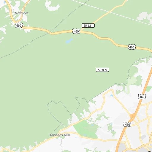
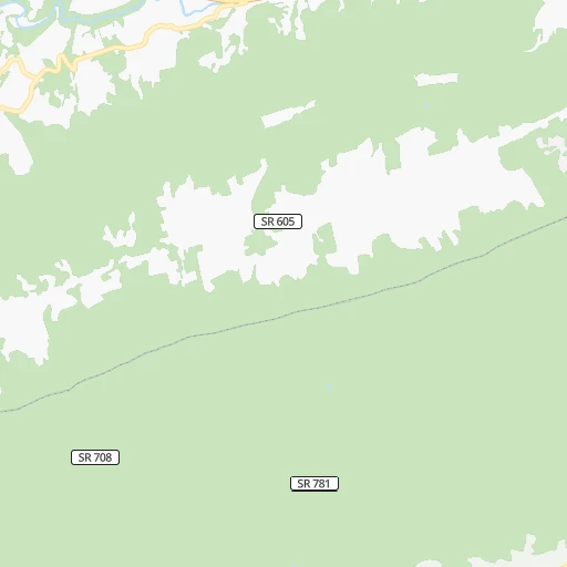
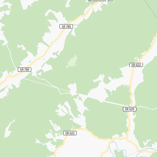
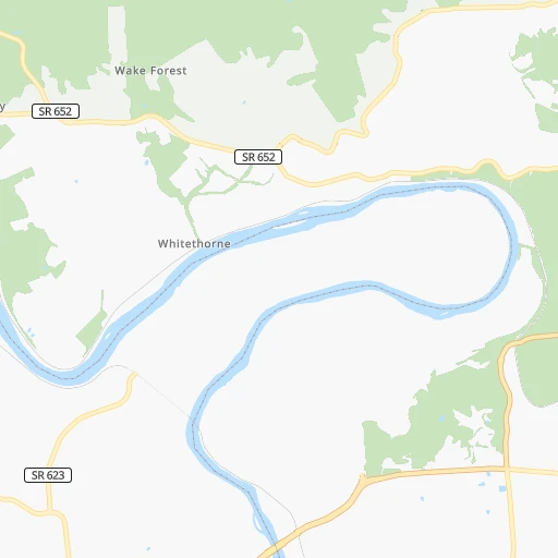
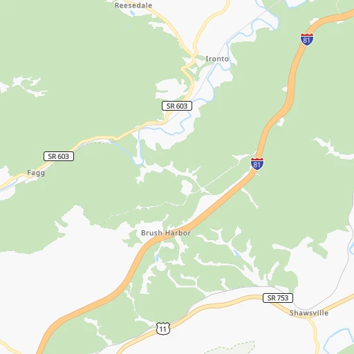
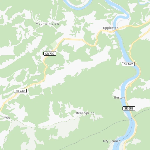
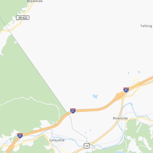
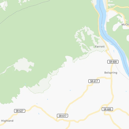
Roadmap (route) to go from Blacksburg to High Point detailed above, you can also see the course layout on the map.
While doing trip Blacksburg - High Point by car, the calculated route ends at a distance , or more straight.
Distance and duration of the route between Blacksburg and High Point
Calculation of distance and route from High Point to Blacksburg :
146.2183.8 km3h42mn
Continue onto North Main Street 0h5mn 4.1 kmKeep right and take US 460 East toward Roanoke 0h3mn 4.8 kmKeep right and take US 460 Business East toward Christiansburg 0h0mn 134 mKeep left and take US 460 Business East toward Christiansburg 0h3mn 3.0 kmTurn right onto Depot Street Northwest 0h1mn 1.1 kmTurn right onto West Main Street 1h59mn 68.7 kmTurn left onto Jeb Stuart Highway 0h3mn 3.2 kmKeep right onto Jeb Stuart Highway 0h2mn 1.7 kmTurn right onto Wood Brothers Drive 0h1mn 1.0 kmContinue onto Patrick Avenue 0h21mn 28.1 kmTurn left onto NC 8, NC 89 0h19mn 21.7 kmTurn left onto Stokesburg Road 0h0mn 42 mTurn sharp left onto NC 65 0h7mn 8.2 kmTurn left onto Belews Creek Road 0h2mn 2.0 kmTurn right onto Kernersville Road 0h12mn 14.0 kmContinue onto North Main Street 0h0mn 224 mTurn left onto East Bodenhamer Street 0h1mn 864 mKeep right onto NC 66 0h3mn 3.1 kmTurn slight right onto NC 66 0h8mn 8.2 kmTurn sharp left 0h2mn 2.6 kmKeep right 0h1mn 1.1 kmContinue onto North Main Street 0h7mn 5.9 kmArrive at destination 0h0mn 0 m
Travel from Blacksburg (North Carolina) to a selection of major cities.
Distances from Blacksburg to biggest cities in Virginia
- Leesburg,51,209 inhabitants.326 km
- McLean,48,115 inhabitants.341 km
- Charlottesville,46,597 inhabitants.193 km
- Tuckahoe,44,990 inhabitants.256 km
- Ashburn,43,511 inhabitants.326 km
- Danville,42,082 inhabitants.116 km
- Manassas,41,764 inhabitants.308 km
- Lake Ridge,41,058 inhabitants.318 km
- Burke,41,055 inhabitants.326 km
- Annandale,41,008 inhabitants.334 km
- Mechanicsville,36,348 inhabitants.272 km
- Linton Hall,35,725 inhabitants.302 km
- Oakton,34,166 inhabitants.329 km
- Oak Hill,33,811 inhabitants.325 km
- Petersburg,32,477 inhabitants.267 km
- Springfield,30,484 inhabitants.332 km
- West Falls Church,29,207 inhabitants.338 km
- Jefferson,28,487 inhabitants.336 km
- Fredericksburg,28,118 inhabitants.286 km
- Sterling,27,822 inhabitants.328 km
Other major cities in country :
- Charlotte [NC], 827,097 inhabitants. 226 km
- Seattle [WA], 684,451 inhabitants. 3,584 km
- Denver [CO], 682,545 inhabitants. 2,152 km
- El Paso [TX], 681,124 inhabitants. 2,460 km
- Detroit [MI], 677,116 inhabitants. 611 km
- Boston [MA], 667,137 inhabitants. 982 km
- Memphis [TN], 655,770 inhabitants. 896 km
- New South Memphis [TN], 641,608 inhabitants. 898 km
- Portland [OR], 632,309 inhabitants. 3,604 km
- Oklahoma City [OK], 631,346 inhabitants. 1,544 km
- Las Vegas [NV], 623,747 inhabitants. 3,084 km
- Baltimore [MD], 621,849 inhabitants. 404 km
- Washington, D.C. [DC], 601,723 inhabitants. 349 km
- Milwaukee [WI], 600,155 inhabitants. 907 km
- South Boston [MA], 571,281 inhabitants. 981 km
- Albuquerque [NM], 559,121 inhabitants. 2,363 km
- Tucson [AZ], 531,641 inhabitants. 2,834 km
- Nashville [TN], 530,852 inhabitants. 581 km
- Fresno [CA], 520,052 inhabitants. 3,474 km
- Sacramento [CA], 490,712 inhabitants. 3,581 km
Route from High Point to major cities (United States).
- Distance High Point New York City745 km
- Distance High Point Los Angeles3,471 km
- Distance High Point Chicago932 km
- Distance High Point Brooklyn743 km
- Distance High Point Houston1,590 km
- Distance High Point Queens753 km
- Distance High Point Philadelphia615 km
- Distance High Point Phoenix2,935 km
- Distance High Point Manhattan752 km
- Distance High Point San Antonio1,875 km
- Distance High Point San Diego3,414 km
- Distance High Point The Bronx764 km
- Distance High Point Dallas1,581 km
- Distance High Point San Jose3,714 km
- Distance High Point Austin1,768 km
- Distance High Point Jacksonville645 km
- Distance High Point San Francisco3,750 km
- Distance High Point Columbus517 km
- Distance High Point Fort Worth1,629 km
- Distance High Point Indianapolis687 km
Nearest cities to Blacksburg :
- Columbus, 850,106 inhabitants. 378 km
- Charlotte, 827,097 inhabitants. 226 km
- Raleigh, 451,066 inhabitants. 227 km
- West Raleigh, 338,759 inhabitants. 224 km
- Meads, 288,649 inhabitants. 241 km
- Ironville, 288,649 inhabitants. 242 km
- Greensboro, 285,342 inhabitants. 140 km
- Durham, 257,636 inhabitants. 193 km
- Winston-Salem, 241,218 inhabitants. 127 km
- Richmond, 220,289 inhabitants. 264 km
- Fayetteville, 201,963 inhabitants. 279 km
- Cary, 159,769 inhabitants. 217 km
- High Point, 110,268 inhabitants. 146 km
- Roanoke, 99,897 inhabitants. 42 km
- Asheville, 88,512 inhabitants. 264 km
- Concord, 87,696 inhabitants. 203 km
- Lynchburg, 79,812 inhabitants. 114 km
- Gastonia, 74,543 inhabitants. 230 km
- Rock Hill, 71,548 inhabitants. 262 km
- Centreville, 71,135 inhabitants. 317 km
- Jacksonville, 67,357 inhabitants. 385 km
- Johnson City, 66,027 inhabitants. 201 km
- West Lynchburg, 65,517 inhabitants. 111 km
- Greenville, 64,579 inhabitants. 319 km
- Chapel Hill, 59,568 inhabitants. 190 km
- Rocky Mount, 55,806 inhabitants. 275 km
- Kingsport, 53,014 inhabitants. 206 km
- Huntersville, 52,704 inhabitants. 206 km
- Harrisonburg, 52,538 inhabitants. 192 km
- Burlington, 52,472 inhabitants. 153 km
- Leesburg, 51,209 inhabitants. 326 km
- Charleston, 49,736 inhabitants. 164 km
- Wilson, 49,643 inhabitants. 280 km
- Huntington, 48,638 inhabitants. 222 km
- Newark, 47,986 inhabitants. 359 km
- Charlottesville, 46,597 inhabitants. 193 km
- Kannapolis, 46,144 inhabitants. 195 km
- Apex, 45,585 inhabitants. 218 km
- Dublin, 45,098 inhabitants. 396 km
- Tuckahoe, 44,990 inhabitants. 256 km
- Blacksburg, 44,215 inhabitants. 0 km
- Ashburn, 43,511 inhabitants. 326 km
- Danville, 42,082 inhabitants. 116 km
- Manassas, 41,764 inhabitants. 308 km
- Hagerstown, 40,432 inhabitants. 357 km
- Hickory, 40,374 inhabitants. 186 km
- Lancaster, 39,766 inhabitants. 336 km
- Grove City, 39,388 inhabitants. 376 km
- Westerville, 38,384 inhabitants. 390 km
- Wake Forest, 38,199 inhabitants. 220 km
Location Blacksburg (Virginia) :
| Country flag |  |
| Location | Blacksburg |
| State | Virginia |
| County | Montgomery County |
| Country | United States |
| Country code / ISO 2 | US |
| Latitude | 37.2295700 |
| Longitude | -80.4139400 |
| Altitude | 633 meters |
| Time zone | America/New_York |
Location High Point (North Carolina) :
| Country flag | |
| Location | High Point |
| State | North Carolina |
| County | Guilford County |
| Country | United States |
| Country code / ISO 2 | US |
| Latitude | 35.9556900 |
| Longitude | -80.0053200 |
| Altitude | 281 meters |
| Time zone | America/New_York |


