
How to get from Waco (Texas) to Conroe (Texas)
Calculate route from Waco (Texas, United States) to Conroe (Texas, United States).
The flight distance (as the crow flies) between Waco and Conroe is 211.8 km.
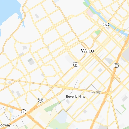
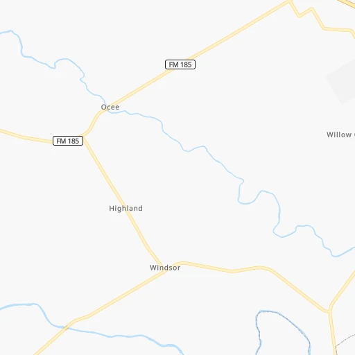
Roadmap (route) to go from Waco to Conroe detailed above, you can also see the course layout on the map.
While doing trip Waco - Conroe by car, the calculated route ends at a distance , or more straight.
Distance and duration of the route between Waco and Conroe
Calculation of distance and route from Conroe to Waco :
211.8246.0 km3h49mn
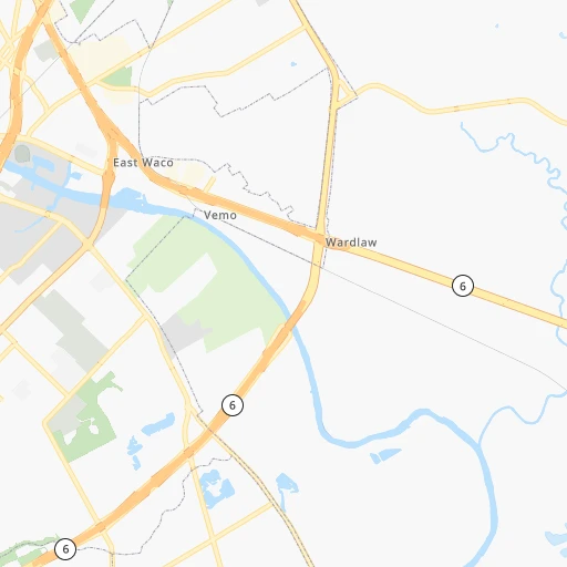
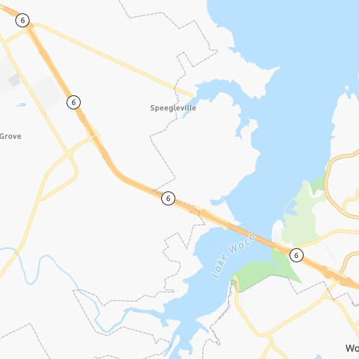
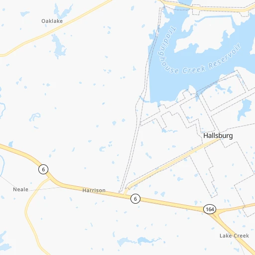
Continue onto West Waco Drive 0h0mn 336 mTurn right onto North 15th Street 0h1mn 323 mTurn left onto Washington Avenue 0h2mn 2.0 kmTurn right onto South Martin Luther King Jr Boulevard 0h3mn 2.5 kmTurn left onto South Loop Drive 0h1mn 1.2 kmKeep left toward Loop 484 South 1h47mn 82.7 kmContinue onto Main Street 0h26mn 39.5 kmKeep left onto North Earl Rudder Freeway and take US 190, Texas 6 toward Madisonville, College Station, Houston 0h28mn 48.3 kmKeep left onto TX 6 0h2mn 4.2 kmKeep right and take East TX 105, Spur 515 toward Conroe 0h1mn 620 mTurn left onto State Highway 105 0h8mn 9.5 kmContinue onto State Highway 105 0h1mn 1.0 kmContinue onto State Highway 105 0h10mn 11.5 kmTurn slight right onto TX 105 1h38mn 42.2 kmTurn right onto North Pacific Street 0h0mn 31 mArrive at destination 0h0mn 0 m
Travel from Waco (Texas) to a selection of major cities.
Distances from Waco to biggest cities in Texas
- Killeen,140,806 inhabitants.73 km
- McAllen,140,269 inhabitants.604 km
- Carrollton,133,168 inhabitants.158 km
- Midland,132,950 inhabitants.469 km
- Denton,131,044 inhabitants.185 km
- Abilene,121,721 inhabitants.264 km
- Odessa,118,968 inhabitants.496 km
- Beaumont,118,129 inhabitants.334 km
- Round Rock,115,997 inhabitants.127 km
- Richardson,110,815 inhabitants.161 km
- Pearland,108,821 inhabitants.284 km
- College Station,107,889 inhabitants.129 km
- Wichita Falls,104,710 inhabitants.292 km
- Lewisville,104,039 inhabitants.167 km
- Tyler,103,700 inhabitants.196 km
- San Angelo,100,450 inhabitants.312 km
- Alief,98,725 inhabitants.253 km
- League City,98,312 inhabitants.301 km
- Allen,98,143 inhabitants.179 km
- The Woodlands,93,847 inhabitants.222 km
Other major cities in country :
- Memphis [TN], 655,770 inhabitants. 772 km
- New South Memphis [TN], 641,608 inhabitants. 768 km
- Portland [OR], 632,309 inhabitants. 2,694 km
- Oklahoma City [OK], 631,346 inhabitants. 438 km
- Las Vegas [NV], 623,747 inhabitants. 1,738 km
- Baltimore [MD], 621,849 inhabitants. 2,046 km
- Washington, D.C. [DC], 601,723 inhabitants. 1,998 km
- Milwaukee [WI], 600,155 inhabitants. 1,516 km
- South Boston [MA], 571,281 inhabitants. 2,599 km
- Albuquerque [NM], 559,121 inhabitants. 967 km
- Tucson [AZ], 531,641 inhabitants. 1,304 km
- Nashville [TN], 530,852 inhabitants. 1,086 km
- Fresno [CA], 520,052 inhabitants. 2,157 km
- Sacramento [CA], 490,712 inhabitants. 2,344 km
- Kansas City [MO], 475,378 inhabitants. 872 km
- Long Beach [CA], 474,140 inhabitants. 1,984 km
- Mesa [AZ], 471,825 inhabitants. 1,393 km
- Staten Island [NY], 468,730 inhabitants. 2,291 km
- Atlanta [GA], 463,878 inhabitants. 1,220 km
- Colorado Springs [CO], 456,568 inhabitants. 1,069 km
Route from Conroe to major cities (United States).
- Distance Conroe New York City2,253 km
- Distance Conroe Los Angeles2,182 km
- Distance Conroe Chicago1,462 km
- Distance Conroe Brooklyn2,255 km
- Distance Conroe Queens2,265 km
- Distance Conroe Philadelphia2,129 km
- Distance Conroe Phoenix1,607 km
- Distance Conroe Manhattan2,260 km
- Distance Conroe San Diego2,074 km
- Distance Conroe The Bronx2,270 km
- Distance Conroe San Jose2,557 km
- Distance Conroe Jacksonville1,325 km
- Distance Conroe San Francisco2,611 km
- Distance Conroe Columbus1,559 km
- Distance Conroe Indianapolis1,350 km
- Distance Conroe Charlotte1,471 km
- Distance Conroe Seattle2,993 km
- Distance Conroe Denver1,361 km
- Distance Conroe Detroit1,737 km
- Distance Conroe Boston2,552 km
Nearest cities to Waco :
- Houston, 2,296,224 inhabitants. 262 km
- San Antonio, 1,469,845 inhabitants. 270 km
- Dallas, 1,300,092 inhabitants. 141 km
- Austin, 931,830 inhabitants. 154 km
- Fort Worth, 833,319 inhabitants. 132 km
- Arlington, 388,125 inhabitants. 132 km
- Plano, 283,558 inhabitants. 169 km
- Garland, 236,897 inhabitants. 159 km
- Irving, 236,607 inhabitants. 142 km
- Grand Prairie, 187,809 inhabitants. 134 km
- McKinney, 162,898 inhabitants. 190 km
- Frisco, 154,407 inhabitants. 181 km
- Pasadena, 153,784 inhabitants. 278 km
- Mesquite, 144,788 inhabitants. 145 km
- Killeen, 140,806 inhabitants. 73 km
- Carrollton, 133,168 inhabitants. 158 km
- Waco, 132,356 inhabitants. 0 km
- Denton, 131,044 inhabitants. 185 km
- Abilene, 121,721 inhabitants. 264 km
- Round Rock, 115,997 inhabitants. 127 km
- Richardson, 110,815 inhabitants. 161 km
- Pearland, 108,821 inhabitants. 284 km
- College Station, 107,889 inhabitants. 129 km
- Wichita Falls, 104,710 inhabitants. 292 km
- Lewisville, 104,039 inhabitants. 167 km
- Tyler, 103,700 inhabitants. 196 km
- Alief, 98,725 inhabitants. 253 km
- League City, 98,312 inhabitants. 301 km
- Allen, 98,143 inhabitants. 179 km
- The Woodlands, 93,847 inhabitants. 222 km
- Sugar Land, 88,156 inhabitants. 259 km
- Longview, 82,287 inhabitants. 251 km
- Bryan, 82,118 inhabitants. 122 km
- Kingwood Area, 81,692 inhabitants. 247 km
- Baytown, 76,335 inhabitants. 290 km
- Missouri City, 74,139 inhabitants. 265 km
- Temple, 72,277 inhabitants. 54 km
- Flower Mound, 71,253 inhabitants. 163 km
- New Braunfels, 70,543 inhabitants. 226 km
- North Richland Hills, 69,204 inhabitants. 143 km
- Conroe, 68,602 inhabitants. 212 km
- Victoria, 67,574 inhabitants. 306 km
- Cedar Park, 65,945 inhabitants. 133 km
- Atascocita, 65,844 inhabitants. 256 km
- Mansfield, 64,274 inhabitants. 113 km
- Georgetown, 63,716 inhabitants. 114 km
- San Marcos, 60,684 inhabitants. 200 km
- Rowlett, 60,236 inhabitants. 160 km
- Pflugerville, 57,122 inhabitants. 132 km
- Spring, 54,298 inhabitants. 233 km
Location Waco (Texas) :
| Country flag |  |
| Location | Waco |
| State | Texas |
| County | McLennan County |
| Country | United States |
| Country code / ISO 2 | US |
| Latitude | 31.5493300 |
| Longitude | -97.1466700 |
| Altitude | 143 meters |
| Time zone | America/Chicago |
Location Conroe (Texas) :
| Country flag | |
| Location | Conroe |
| State | Texas |
| County | Montgomery County |
| Country | United States |
| Country code / ISO 2 | US |
| Latitude | 30.3118800 |
| Longitude | -95.4560500 |
| Altitude | 67 meters |
| Time zone | America/Chicago |


