
How to get from Yermolayevo (Bashkortostan Republic) to Yanaul (Bashkortostan Republic)
Calculate route from Yermolayevo (Bashkortostan Republic, Russia) to Yanaul (Bashkortostan Republic, Russia).
The flight distance (as the crow flies) between Yermolayevo and Yanaul is 399.3 km.
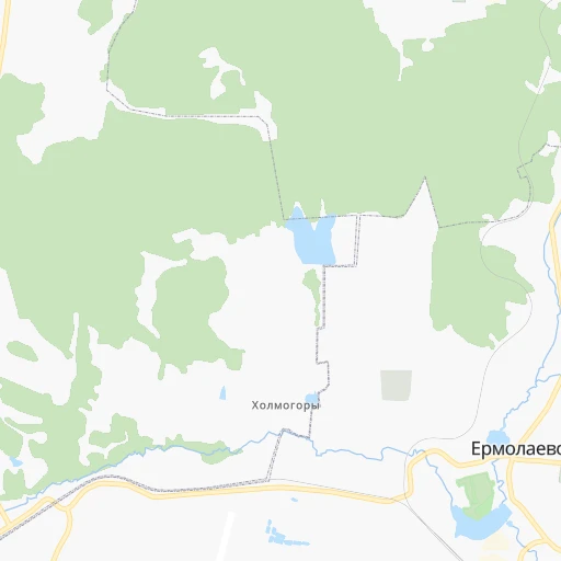
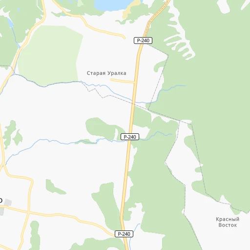
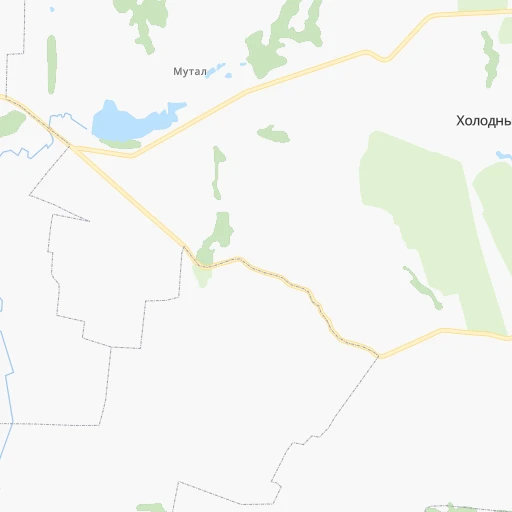
Roadmap (route) to go from Yermolayevo to Yanaul detailed above, you can also see the course layout on the map.
While doing trip Yermolayevo - Yanaul by car, the calculated route ends at a distance , or more straight.
Distance and duration of the route between Yermolayevo and Yanaul
Calculation of distance and route from Yanaul to Yermolayevo :
399.3455.1 km7h41mn
Continue 0h1mn 483 mTurn left onto улица Чапаева 0h2mn 1.1 kmTurn left onto улица Чапаева 0h1mn 306 mTurn left 0h0mn 180 mTurn right 0h0mn 60 mTurn sharp left onto улица Ленина 0h0mn 277 mTurn right onto Советская улица 0h0mn 21 mTurn left onto улица Калинина 0h4mn 3.6 kmTurn left onto Р-240 1h56mn 72.4 kmKeep right and drive toward Салават 0h0mn 154 mContinue onto Малая объездная дорога 0h7mn 8.2 kmAt roundabout, take exit 4 0h27mn 29.9 kmTurn left onto улица Баумана 0h1mn 611 mTurn right onto улица 7 Ноября 0h2mn 2.2 kmTurn left onto улица Менделеева 0h1mn 631 mTurn right onto Железнодорожная улица 0h0mn 284 mTurn sharp left onto Профсоюзная улица 0h1mn 1.3 kmKeep right 0h0mn 197 mKeep right onto проспект Ленина 0h1mn 682 mAt roundabout, take exit 3 1h22mn 94.1 kmKeep left 0h14mn 17.8 kmKeep right and take М-5 toward Москва, Самара, Уфа 0h0mn 35 mKeep right and take М-5 toward Москва, Самара, Уфа 0h0mn 524 mKeep left 0h6mn 8.6 kmKeep right and drive toward Уфа, Башавтоком 0h0mn 497 mTurn slight right 0h3mn 2.4 kmTurn left onto Новороссийская улица 0h6mn 5.8 kmTurn left 0h1mn 913 mTurn right onto Р-240 1h38mn 44.8 kmTurn left onto 80К-029 1h38mn 42.3 kmAt roundabout, take exit 2 onto 80К-029 1h44mn 48.8 kmKeep left onto 80К-029 1h56mn 61.5 kmTurn right 0h0mn 42 mTurn right onto Объездная улица 0h2mn 2.3 kmTurn sharp left 0h0mn 225 mTurn right onto улица Космодемьянской 0h1mn 504 mTurn left onto улица Л. Чайкиной 0h0mn 152 mTurn right onto улица Л. Чайкиной 0h1mn 320 mTurn right onto улица Тимирязева 0h0mn 34 mTurn left onto улица Островского 0h1mn 313 mTurn left onto улица Кирова 0h1mn 548 mArrive at destination 0h0mn 0 m
Travel from Yermolayevo (Bashkortostan Republic) to a selection of major cities.
Distances from Yermolayevo to biggest cities in Bashkortostan Republic
Other major cities in country :
- Barnaul [04], 599,579 inhabitants. 1,861 km
- Vladivostok [59], 587,022 inhabitants. 5,504 km
- Irkutsk [20], 586,695 inhabitants. 3,223 km
- Khabarovsk [30], 579,000 inhabitants. 5,332 km
- Khabarovsk Vtoroy [30], 578,303 inhabitants. 5,338 km
- Orenburg [55], 550,204 inhabitants. 115 km
- Novokuznetsk [29], 539,616 inhabitants. 2,072 km
- Ryazan' [62], 520,173 inhabitants. 1,081 km
- Tyumen [78], 519,119 inhabitants. 793 km
- Lipetsk [43], 515,655 inhabitants. 1,094 km
- Penza [57], 512,602 inhabitants. 725 km
- Naberezhnyye Chelny [73], 509,870 inhabitants. 401 km
- Kalininskiy [42], 504,641 inhabitants. 1,749 km
- Astrakhan [07], 502,533 inhabitants. 903 km
- Makhachkala [17], 497,959 inhabitants. 1,247 km
- Tomsk [75], 485,519 inhabitants. 1,912 km
- Kemerovo [29], 477,090 inhabitants. 1,985 km
- Tula [76], 468,825 inhabitants. 1,213 km
- Kirov [33], 457,383 inhabitants. 759 km
- Cheboksary [16], 446,781 inhabitants. 671 km
Route from Yanaul to major cities (Russia).
- Distance Yanaul Moscow1,076 km
- Distance Yanaul Saint Petersburg1,494 km
- Distance Yanaul Novosibirsk1,752 km
- Distance Yanaul Yekaterinburg354 km
- Distance Yanaul Nizhniy Novgorod674 km
- Distance Yanaul Samara460 km
- Distance Yanaul Omsk1,164 km
- Distance Yanaul Kazan365 km
- Distance Yanaul Rostov-na-Donu1,447 km
- Distance Yanaul Chelyabinsk426 km
- Distance Yanaul Volgograd1,096 km
- Distance Yanaul Perm209 km
- Distance Yanaul Krasnoyarsk2,323 km
- Distance Yanaul Saratov787 km
- Distance Yanaul Voronezh1,148 km
- Distance Yanaul Tol'yatti470 km
- Distance Yanaul Krasnodar1,674 km
- Distance Yanaul Ulyanovsk468 km
- Distance Yanaul Izhevsk124 km
- Distance Yanaul Yaroslavl925 km
Nearest cities to Yermolayevo :
- Ufa, 1,033,338 inhabitants. 226 km
- Orenburg, 550,204 inhabitants. 115 km
- Sterlitamak, 267,231 inhabitants. 102 km
- Orsk, 246,836 inhabitants. 254 km
- Salavat, 159,893 inhabitants. 75 km
- Oktyabr'skiy, 108,200 inhabitants. 250 km
- Novotroitsk, 106,186 inhabitants. 242 km
- Beloretsk, 70,468 inhabitants. 221 km
- Ishimbay, 70,421 inhabitants. 84 km
- Tuymazy, 68,829 inhabitants. 252 km
- Meleuz, 65,362 inhabitants. 29 km
- Kumertau, 65,321 inhabitants. 6 km
- Belebey, 62,582 inhabitants. 192 km
- Sibay, 61,590 inhabitants. 193 km
- Gay, 41,619 inhabitants. 229 km
- Birsk, 41,014 inhabitants. 302 km
- Trekhgornyy, 34,500 inhabitants. 292 km
- Blagoveshchensk, 34,238 inhabitants. 258 km
- Asha, 33,006 inhabitants. 272 km
- Dyurtyuli, 31,087 inhabitants. 315 km
- Sorochinsk, 30,731 inhabitants. 181 km
- Mednogorsk, 30,676 inhabitants. 190 km
- Kuvandyk, 28,706 inhabitants. 174 km
- Sol'-Iletsk, 27,419 inhabitants. 182 km
- Ust'-Katav, 25,046 inhabitants. 292 km
- Davlekanovo, 23,952 inhabitants. 175 km
- Bavly, 22,982 inhabitants. 251 km
- Chishmy, 22,000 inhabitants. 209 km
- Abdulino, 21,195 inhabitants. 179 km
- Priyutovo, 20,847 inhabitants. 181 km
- Rayevskiy, 20,060 inhabitants. 161 km
- Katav-Ivanovsk, 19,339 inhabitants. 276 km
- Baymak, 17,493 inhabitants. 171 km
- Saraktash, 17,413 inhabitants. 110 km
- Sim, 15,632 inhabitants. 282 km
- Iglino, 13,958 inhabitants. 239 km
- Yuryuzan', 13,424 inhabitants. 295 km
- Novosergiyevka, 13,188 inhabitants. 161 km
- Kandry, 12,100 inhabitants. 234 km
- Urussu, 11,279 inhabitants. 260 km
- Chekmagush, 11,225 inhabitants. 279 km
- Kushnarenkovo, 10,650 inhabitants. 267 km
- Serafimovskiy, 10,360 inhabitants. 232 km
- Tyul'gan, 10,200 inhabitants. 49 km
- Tolbazy, 10,183 inhabitants. 146 km
- Aktyubinskiy, 9,964 inhabitants. 305 km
- Ilek, 9,898 inhabitants. 212 km
- Mesyagutovo, 9,780 inhabitants. 352 km
- Buzdyak, 9,752 inhabitants. 224 km
- Perevolotskiy, 9,667 inhabitants. 144 km
Location Yermolayevo (Bashkortostan Republic) :
| Country flag |  |
| Location | Yermolayevo |
| State | Bashkortostan Republic |
| County | |
| Country | Russia |
| Country code / ISO 2 | RU |
| Latitude | 52.7166700 |
| Longitude | 55.8000000 |
| Altitude | 0 meters |
| Time zone | Asia/Yekaterinburg |
Location Yanaul (Bashkortostan Republic) :
| Country flag | |
| Location | Yanaul |
| State | Bashkortostan Republic |
| County | |
| Country | Russia |
| Country code / ISO 2 | RU |
| Latitude | 56.2751000 |
| Longitude | 54.9338000 |
| Altitude | 0 meters |
| Time zone | Asia/Yekaterinburg |