
How to get from Alvin Airpark (Texas) to Copperas Cove (Texas)
Calculate route from Alvin Airpark (Texas, United States) to Copperas Cove (Texas, United States).
The flight distance (as the crow flies) between Alvin Airpark and Copperas Cove is 314.6 km.
Roadmap (route) to go from Alvin Airpark to Copperas Cove detailed above, you can also see the course layout on the map.
While doing trip Alvin Airpark - Copperas Cove by car, the calculated route ends at a distance , or more straight.
Distance and duration of the route between Alvin Airpark and Copperas Cove
Calculation of distance and route from Copperas Cove to Alvin Airpark :
314.6361.8 km5h40mn
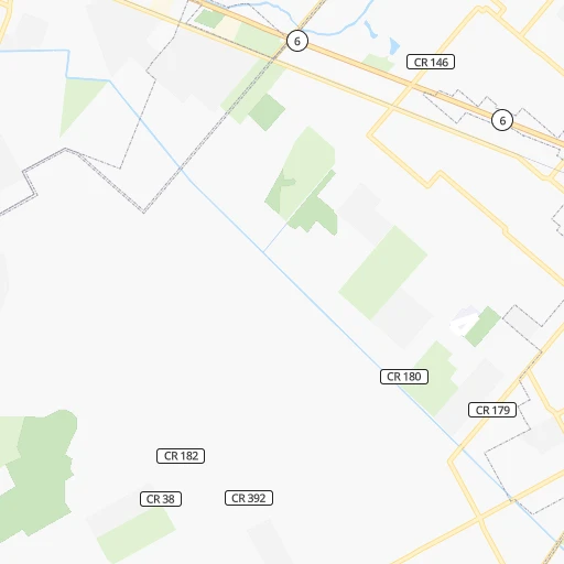
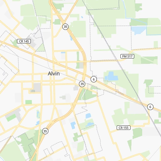
Continue onto CR 180 0h3mn 1.4 kmTurn left onto Fairview Road 0h2mn 1.6 kmTurn left onto Fairview Road 0h0mn 279 mTurn right onto Fairview Road 0h1mn 1.2 kmTurn right onto Shroeder Lane 0h1mn 1.0 kmTurn sharp left onto State Highway 6 0h19mn 21.6 kmKeep right 0h0mn 235 mKeep left onto Texas Highway 6 Frontage Road 0h0mn 392 mKeep right 0h1mn 514 mKeep left toward FBP North 0h4mn 6.6 kmKeep right and drive toward Fondren Road 0h0mn 415 mTurn left onto Fondren Road 0h3mn 2.9 kmTurn left onto South Sam Houston Parkway West 0h2mn 2.0 kmKeep left toward SHT Toll North 0h17mn 25.9 kmKeep right onto West Sam Houston Tollway North 0h1mn 1.8 kmKeep right and take US 290 West, US 290 East toward Austin, Downtown 0h1mn 736 mKeep left and take US 290 West toward Austin 1h54mn 86.5 kmKeep right toward FM 577, US 290 Business 0h0mn 335 mKeep right 0h1mn 1.3 kmContinue onto South Blue Bell Road 0h5mn 5.0 kmTurn right onto North Park Street 0h2mn 2.1 kmKeep right 1h8mn 74.5 kmTurn left onto US 79, US 190, TX 36 0h2mn 2.0 kmKeep right onto US 190, TX 36 0h0mn 148 mTurn slight right onto US 190, TX 36 0h13mn 14.2 kmContinue onto US 77, US 190, TX 36 0h5mn 5.7 kmContinue onto West 4th Street 1h31mn 38.8 kmKeep right and take FM 436 toward Little River-Academy 0h0mn 546 mContinue onto Highway 190 Access Road 0h1mn 1.4 kmTurn left onto Taylor Valley Road 0h11mn 13.7 kmTurn left onto North I-35 Frontage Road 0h0mn 428 mKeep left toward I 35 South, US 190 West 0h1mn 1.6 kmKeep right onto Central Texas Expressway and take US 190 West toward Killeen, Fort Cavazos 0h24mn 39.8 kmKeep right onto US 190 Bus and take US 190 Business toward Copperas Cove 0h1mn 874 mKeep left onto US 190 Bus 0h3mn 2.8 kmTurn slight right onto East Highway 190 0h0mn 4 mTurn right onto East Avenue D 0h1mn 1.4 kmArrive at destination 0h0mn 0 m
Travel from Alvin Airpark (Texas) to a selection of major cities.
Distances from Alvin Airpark to biggest cities in Texas
- Killeen,140,806 inhabitants.301 km
- McAllen,140,269 inhabitants.460 km
- Carrollton,133,168 inhabitants.422 km
- Midland,132,950 inhabitants.710 km
- Waco,132,356 inhabitants.297 km
- Denton,131,044 inhabitants.458 km
- Abilene,121,721 inhabitants.542 km
- Odessa,118,968 inhabitants.730 km
- Beaumont,118,129 inhabitants.137 km
- Round Rock,115,997 inhabitants.261 km
- Richardson,110,815 inhabitants.416 km
- Pearland,108,821 inhabitants.16 km
- College Station,107,889 inhabitants.168 km
- Wichita Falls,104,710 inhabitants.585 km
- Lewisville,104,039 inhabitants.436 km
- Tyler,103,700 inhabitants.327 km
- San Angelo,100,450 inhabitants.544 km
- Alief,98,725 inhabitants.44 km
- League City,98,312 inhabitants.21 km
- Allen,98,143 inhabitants.431 km
Other major cities in country :
- Memphis [TN], 655,770 inhabitants. 806 km
- New South Memphis [TN], 641,608 inhabitants. 800 km
- Portland [OR], 632,309 inhabitants. 2,987 km
- Oklahoma City [OK], 631,346 inhabitants. 705 km
- Las Vegas [NV], 623,747 inhabitants. 1,999 km
- Baltimore [MD], 621,849 inhabitants. 2,032 km
- Washington, D.C. [DC], 601,723 inhabitants. 1,979 km
- Milwaukee [WI], 600,155 inhabitants. 1,653 km
- South Boston [MA], 571,281 inhabitants. 2,602 km
- Albuquerque [NM], 559,121 inhabitants. 1,241 km
- Tucson [AZ], 531,641 inhabitants. 1,526 km
- Nashville [TN], 530,852 inhabitants. 1,094 km
- Fresno [CA], 520,052 inhabitants. 2,417 km
- Sacramento [CA], 490,712 inhabitants. 2,613 km
- Kansas City [MO], 475,378 inhabitants. 1,080 km
- Long Beach [CA], 474,140 inhabitants. 2,220 km
- Mesa [AZ], 471,825 inhabitants. 1,631 km
- Staten Island [NY], 468,730 inhabitants. 2,284 km
- Atlanta [GA], 463,878 inhabitants. 1,140 km
- Colorado Springs [CO], 456,568 inhabitants. 1,366 km
Route from Copperas Cove to major cities (United States).
- Distance Copperas Cove New York City2,394 km
- Distance Copperas Cove Los Angeles1,932 km
- Distance Copperas Cove Chicago1,503 km
- Distance Copperas Cove Brooklyn2,396 km
- Distance Copperas Cove Queens2,406 km
- Distance Copperas Cove Philadelphia2,273 km
- Distance Copperas Cove Phoenix1,357 km
- Distance Copperas Cove Manhattan2,399 km
- Distance Copperas Cove San Diego1,826 km
- Distance Copperas Cove The Bronx2,410 km
- Distance Copperas Cove San Jose2,307 km
- Distance Copperas Cove Jacksonville1,556 km
- Distance Copperas Cove San Francisco2,361 km
- Distance Copperas Cove Columbus1,667 km
- Distance Copperas Cove Indianapolis1,433 km
- Distance Copperas Cove Charlotte1,651 km
- Distance Copperas Cove Seattle2,769 km
- Distance Copperas Cove Denver1,153 km
- Distance Copperas Cove Detroit1,815 km
- Distance Copperas Cove Boston2,685 km
Nearest cities to Alvin Airpark :
- Houston, 2,296,224 inhabitants. 39 km
- Austin, 931,830 inhabitants. 255 km
- Corpus Christi, 324,074 inhabitants. 273 km
- Pasadena, 153,784 inhabitants. 32 km
- Killeen, 140,806 inhabitants. 301 km
- Waco, 132,356 inhabitants. 297 km
- Beaumont, 118,129 inhabitants. 137 km
- Round Rock, 115,997 inhabitants. 261 km
- Pearland, 108,821 inhabitants. 16 km
- College Station, 107,889 inhabitants. 168 km
- Tyler, 103,700 inhabitants. 327 km
- Alief, 98,725 inhabitants. 44 km
- League City, 98,312 inhabitants. 21 km
- The Woodlands, 93,847 inhabitants. 85 km
- Sugar Land, 88,156 inhabitants. 40 km
- Bryan, 82,118 inhabitants. 175 km
- Kingwood Area, 81,692 inhabitants. 69 km
- Baytown, 76,335 inhabitants. 47 km
- Lake Charles, 76,070 inhabitants. 220 km
- Missouri City, 74,139 inhabitants. 33 km
- Temple, 72,277 inhabitants. 272 km
- New Braunfels, 70,543 inhabitants. 276 km
- Conroe, 68,602 inhabitants. 101 km
- Victoria, 67,574 inhabitants. 180 km
- Cedar Park, 65,945 inhabitants. 273 km
- Atascocita, 65,844 inhabitants. 66 km
- Georgetown, 63,716 inhabitants. 267 km
- San Marcos, 60,684 inhabitants. 262 km
- Pflugerville, 57,122 inhabitants. 252 km
- Port Arthur, 55,340 inhabitants. 140 km
- Spring, 54,298 inhabitants. 75 km
- Galveston, 50,180 inhabitants. 49 km
- Alexandria, 47,889 inhabitants. 345 km
- Texas City, 47,618 inhabitants. 38 km
- Cypress, 46,025 inhabitants. 73 km
- Huntsville, 40,938 inhabitants. 148 km
- Friendswood, 38,800 inhabitants. 15 km
- Channelview, 38,289 inhabitants. 44 km
- Schertz, 37,938 inhabitants. 289 km
- Leander, 37,889 inhabitants. 279 km
- Mission Bend, 36,501 inhabitants. 48 km
- Lufkin, 36,333 inhabitants. 221 km
- Kyle, 35,733 inhabitants. 258 km
- Rosenberg, 35,510 inhabitants. 53 km
- La Porte, 35,148 inhabitants. 38 km
- Nacogdoches, 33,894 inhabitants. 251 km
- Deer Park, 33,806 inhabitants. 36 km
- Waxahachie, 33,384 inhabitants. 363 km
- Copperas Cove, 33,081 inhabitants. 315 km
- Cleburne, 30,020 inhabitants. 383 km
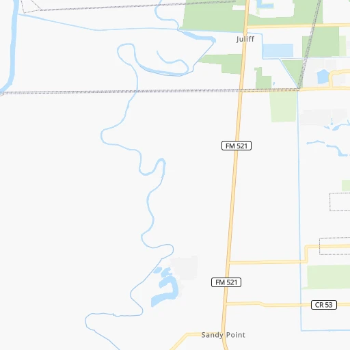
Location Alvin Airpark (Texas) :
| Country flag |  |
| Location | Alvin Airpark |
| State | Texas |
| County | Brazoria County |
| Country | United States |
| Country code / ISO 2 | US |
| Latitude | 29.4155100 |
| Longitude | -95.2891000 |
| Altitude | 12 meters |
| Time zone | America/Chicago |
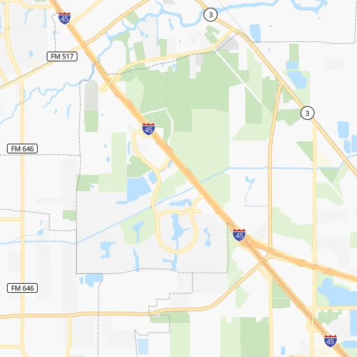
Location Copperas Cove (Texas) :
| Country flag | |
| Location | Copperas Cove |
| State | Texas |
| County | Coryell County |
| Country | United States |
| Country code / ISO 2 | US |
| Latitude | 31.1240600 |
| Longitude | -97.9030800 |
| Altitude | 333 meters |
| Time zone | America/Chicago |
