


How to get from Stantsiya Zholnino (Nizhny Novgorod Oblast) to Privolzhsk (Ivanovo)
Calculate route from Stantsiya Zholnino (Nizhny Novgorod Oblast, Russia) to Privolzhsk (Ivanovo, Russia).
The flight distance (as the crow flies) between Stantsiya Zholnino and Privolzhsk is 179.2 km.
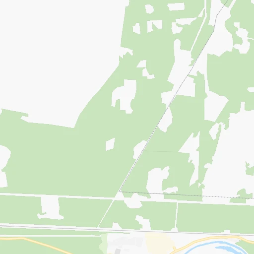
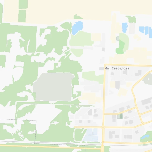
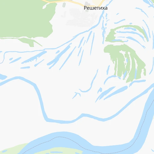
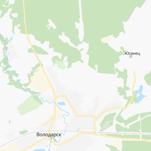
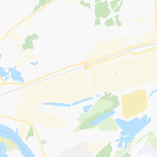
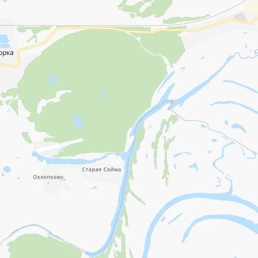
Roadmap (route) to go from Stantsiya Zholnino to Privolzhsk detailed above, you can also see the course layout on the map.
While doing trip Stantsiya Zholnino - Privolzhsk by car, the calculated route ends at a distance , or more straight.
Distance and duration of the route between Stantsiya Zholnino and Privolzhsk
Calculation of distance and route from Privolzhsk to Stantsiya Zholnino :
179.2237.3 km5h18mn
Continue onto Станционная улица 0h9mn 7.4 kmTurn right onto 22К-1414 0h1mn 502 mKeep left onto Юганецкая улица 0h1mn 793 mTurn right onto Северная улица 0h1mn 1.2 kmTurn right onto 22К-0024 0h6mn 5.6 kmKeep left onto 22К-0024 0h0mn 109 mContinue onto 22К-0024 0h0mn 10 mTurn left onto «Волга» 0h18mn 20.6 kmTurn right 0h29mn 26.5 kmTurn right onto Школьная улица 0h0mn 6 mTurn left 0h0mn 165 mKeep left 0h0mn 200 mKeep left 0h0mn 149 mTurn left 0h0mn 155 mTurn right onto Заводская улица 0h1mn 271 mKeep left 0h4mn 1.2 kmKeep left 0h4mn 1.1 kmKeep right 0h7mn 1.8 kmKeep right 0h5mn 1.3 kmKeep left 0h0mn 47 mKeep right 0h2mn 554 mKeep left 0h10mn 3.1 kmTurn right onto 24Н-190 1h47mn 27.1 kmTurn slight left onto улица Карла Маркса 1h31mn 32.7 kmTurn right onto Лух — Окульцево 0h4mn 3.3 kmTurn left 0h1mn 629 mTurn right 0h0mn 240 mTurn left onto Лух — Окульцево 1h33mn 19.9 kmTurn right onto Вичуга — Окулово — Лух 1h38mn 26.2 kmTurn left onto Вичуга — Окулово — Лух 0h5mn 4.2 kmTurn right onto Большая Пролетарская улица 0h2mn 1.6 kmTurn right onto улица Володарского 0h2mn 2.2 kmTurn right onto улица Луначарского 0h1mn 824 mTurn right onto Ясневская улица 0h20mn 15.7 kmTurn left onto Вичуга — Приволжск 1h33mn 27.8 kmTurn right onto Железнодорожная улица 0h2mn 1.6 kmTurn left onto Большая Московская улица 0h0mn 73 mTurn right onto Железнодорожный переулок 0h1mn 362 mTurn right onto Коминтерновская улица 0h0mn 19 mKeep right 0h0mn 99 mKeep left 0h0mn 114 mArrive at destination 0h0mn 0 m
Travel from Stantsiya Zholnino (Ivanovo) to a selection of major cities.
Distances from Stantsiya Zholnino to biggest cities in Nizhny Novgorod Oblast
Other major cities in country :
- Barnaul [04], 599,579 inhabitants. 2,577 km
- Vladivostok [59], 587,022 inhabitants. 6,086 km
- Irkutsk [20], 586,695 inhabitants. 3,857 km
- Khabarovsk [30], 579,000 inhabitants. 5,826 km
- Khabarovsk Vtoroy [30], 578,303 inhabitants. 5,832 km
- Orenburg [55], 550,204 inhabitants. 914 km
- Novokuznetsk [29], 539,616 inhabitants. 2,762 km
- Ryazan' [62], 520,173 inhabitants. 290 km
- Tyumen [78], 519,119 inhabitants. 1,355 km
- Lipetsk [43], 515,655 inhabitants. 470 km
- Penza [57], 512,602 inhabitants. 353 km
- Naberezhnyye Chelny [73], 509,870 inhabitants. 568 km
- Kalininskiy [42], 504,641 inhabitants. 867 km
- Astrakhan [07], 502,533 inhabitants. 1,146 km
- Makhachkala [17], 497,959 inhabitants. 1,504 km
- Tomsk [75], 485,519 inhabitants. 2,529 km
- Kemerovo [29], 477,090 inhabitants. 2,636 km
- Tula [76], 468,825 inhabitants. 427 km
- Kirov [33], 457,383 inhabitants. 463 km
- Cheboksary [16], 446,781 inhabitants. 244 km
Route from Privolzhsk to major cities (Russia).
- Distance Privolzhsk Moscow289 km
- Distance Privolzhsk Saint Petersburg695 km
- Distance Privolzhsk Novosibirsk2,551 km
- Distance Privolzhsk Yekaterinburg1,165 km
- Distance Privolzhsk Nizhniy Novgorod203 km
- Distance Privolzhsk Samara729 km
- Distance Privolzhsk Omsk1,986 km
- Distance Privolzhsk Kazan512 km
- Distance Privolzhsk Rostov-na-Donu1,135 km
- Distance Privolzhsk Chelyabinsk1,265 km
- Distance Privolzhsk Ufa956 km
- Distance Privolzhsk Volgograd988 km
- Distance Privolzhsk Perm891 km
- Distance Privolzhsk Krasnoyarsk3,080 km
- Distance Privolzhsk Saratov719 km
- Distance Privolzhsk Voronezh650 km
- Distance Privolzhsk Tol'yatti665 km
- Distance Privolzhsk Krasnodar1,383 km
- Distance Privolzhsk Ulyanovsk559 km
- Distance Privolzhsk Izhevsk722 km
Nearest cities to Stantsiya Zholnino :
- Nizhniy Novgorod, 1,284,164 inhabitants. 44 km
- Ivanovo, 420,839 inhabitants. 168 km
- Vladimir, 310,024 inhabitants. 182 km
- Saransk, 303,394 inhabitants. 255 km
- Kostroma, 277,656 inhabitants. 225 km
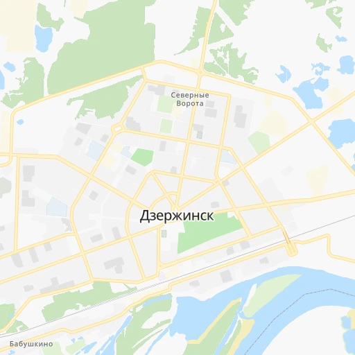
- Dzerzhinsk, 233,126 inhabitants. 8 km
- Kovrov, 154,224 inhabitants. 125 km
- Murom, 126,931 inhabitants. 108 km
- Arzamas, 109,479 inhabitants. 98 km
- Kineshma, 92,983 inhabitants. 154 km
- Sarov, 88,000 inhabitants. 143 km
- Kstovo, 67,242 inhabitants. 55 km
- Pavlovo, 63,338 inhabitants. 32 km
- Novaya Balakhna, 63,083 inhabitants. 34 km
- Gus'-Khrustal'nyy, 62,746 inhabitants. 180 km
- Vyksa, 61,664 inhabitants. 124 km
- Shuya, 60,705 inhabitants. 138 km
- Bor, 60,647 inhabitants. 49 km
- Ruzayevka, 49,311 inhabitants. 262 km
- Morshansk, 43,311 inhabitants. 324 km
- Zavolzh'ye, 42,900 inhabitants. 47 km
- Vyazniki, 39,243 inhabitants. 72 km
- Vichuga, 39,071 inhabitants. 139 km
- Furmanov, 38,380 inhabitants. 177 km
- Kulebaki, 37,622 inhabitants. 103 km
- Bogorodsk, 36,652 inhabitants. 17 km
- Teykovo, 36,015 inhabitants. 185 km
- Kasimov, 35,355 inhabitants. 187 km
- Gorodets, 31,788 inhabitants. 49 km
- Sasovo, 29,858 inhabitants. 226 km
- Shar'ya, 29,800 inhabitants. 273 km
- Kokhma, 28,984 inhabitants. 158 km
- Rodniki, 27,681 inhabitants. 138 km
- Buy, 26,486 inhabitants. 273 km
- Nerekhta, 25,352 inhabitants. 217 km
- Nikol'sk, 24,300 inhabitants. 329 km
- Semenov, 24,300 inhabitants. 96 km
- Nizhniy Lomov, 23,835 inhabitants. 300 km
- Lyskovo, 23,570 inhabitants. 109 km
- Sergach, 22,361 inhabitants. 154 km
- Kovylkino, 21,400 inhabitants. 246 km
- Manturovo, 18,817 inhabitants. 250 km
- Galich, 18,594 inhabitants. 247 km
- Privolzhsk, 17,864 inhabitants. 180 km
- Raduzhnyy, 17,811 inhabitants. 187 km
- Volgorechensk, 17,700 inhabitants. 189 km
- Navashino, 17,551 inhabitants. 103 km
- Shilovo, 16,159 inhabitants. 262 km
- Melenki, 15,902 inhabitants. 145 km
- Pervomaysk, 14,810 inhabitants. 154 km
Location Stantsiya Zholnino (Nizhny Novgorod Oblast) :
| Country flag |  |
| Location | Stantsiya Zholnino |
| State | Nizhny Novgorod Oblast |
| County | |
| Country | Russia |
| Country code / ISO 2 | RU |
| Latitude | 56.2214300 |
| Longitude | 43.3233500 |
| Altitude | 0 meters |
| Time zone | Europe/Moscow |
Location Privolzhsk (Ivanovo) :
| Country flag | |
| Location | Privolzhsk |
| State | Ivanovo |
| County | |
| Country | Russia |
| Country code / ISO 2 | RU |
| Latitude | 57.3869800 |
| Longitude | 41.2866600 |
| Altitude | 0 meters |
| Time zone | Europe/Moscow |