


How to get from Bush Brothers Strip (airport) (Tennessee) to Gastonia (North Carolina)
Calculate route from Bush Brothers Strip (airport) (Tennessee, United States) to Gastonia (North Carolina, United States).
The flight distance (as the crow flies) between Bush Brothers Strip (airport) and Gastonia is 204.1 km.
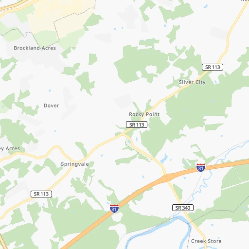
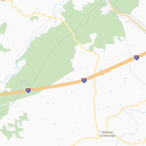
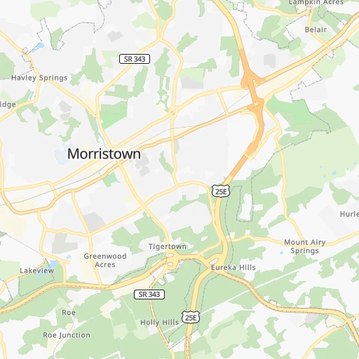
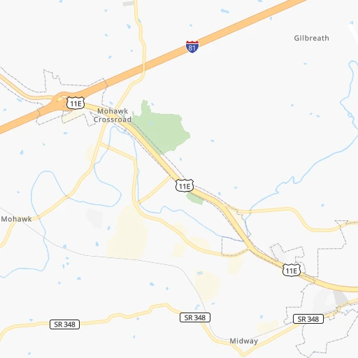
Roadmap (route) to go from Bush Brothers Strip Airport to Gastonia detailed above, you can also see the course layout on the map.
While doing trip Bush Brothers Strip (airport) - Gastonia by car, the calculated route ends at a distance , or more straight.
Distance and duration of the route between Bush Brothers Strip (airport) and Gastonia
Calculation of distance and route from Gastonia to Bush Brothers Strip (airport) :
204.1272.9 km4h41mn
Continue onto Fish Hatchery Road 0h9mn 9.3 kmTurn right onto Warrensburg Road 0h2mn 2.3 kmKeep left onto Warrensburg Road 0h14mn 14.2 kmTurn right onto Old Kentucky Road West 0h2mn 984 mKeep left onto Old Kentucky Road West 0h3mn 1.6 kmTurn right onto Newport Highway 0h0mn 44 mTurn left onto Old Kentucky Road South 0h5mn 2.9 kmTurn right onto Old Kentucky Road South 0h0mn 102 mKeep left onto Old Kentucky Road South 0h3mn 1.6 kmTurn right onto Old Kentucky Road South 0h2mn 1.1 kmTurn left onto West Allens Bridge Road 0h2mn 1.8 kmTurn sharp right onto Asheville Highway 0h21mn 25.1 kmTurn right onto NC 208 1h33mn 39.3 kmKeep right onto US 25, US 70 0h7mn 9.9 kmKeep right and take NC 251 toward University of North Carolina Asheville 0h0mn 464 mKeep left 0h0mn 53 mTurn left onto Broadway Street 0h4mn 3.9 kmTurn left 0h0mn 53 mTurn slight right onto Biltmore Avenue 0h3mn 2.8 kmContinue onto Hendersonville Road 0h18mn 20.0 kmKeep left 0h23mn 35.4 kmKeep right onto Sgt W Dean Arledge Memorial Highway and take US 74 East, NC 108 toward Columbus, Rutherfordton 0h0mn 436 mKeep left onto Sergeant W Dean Arledge Memorial Highway and take US 74 East toward Forest City, Rutherfordton 1h8mn 99.5 kmArrive at destination 0h0mn 0 m
Travel from Bush Brothers Strip (airport) (North Carolina) to a selection of major cities.
Distances from Bush Brothers Strip Airport to biggest cities in Tennessee
- Spring Hill,36,055 inhabitants.343 km
- La Vergne,34,794 inhabitants.309 km
- Gallatin,34,334 inhabitants.296 km
- Cookeville,32,113 inhabitants.211 km
- Mount Juliet,31,540 inhabitants.302 km
- Brentwood Estates,31,279 inhabitants.326 km
- Lebanon,30,262 inhabitants.282 km
- Morristown,29,478 inhabitants.14 km
- Oak Ridge,29,302 inhabitants.102 km
- Maryville,28,464 inhabitants.87 km
- Bristol,26,666 inhabitants.99 km
- Farragut,21,919 inhabitants.95 km
- Shelbyville,21,317 inhabitants.308 km
- East Ridge,20,979 inhabitants.229 km
Other major cities in country :
- Charlotte [NC], 827,097 inhabitants. 234 km
- Seattle [WA], 684,451 inhabitants. 3,443 km
- Denver [CO], 682,545 inhabitants. 1,952 km
- El Paso [TX], 681,124 inhabitants. 2,204 km
- Detroit [MI], 677,116 inhabitants. 686 km
- Boston [MA], 667,137 inhabitants. 1,248 km
- Portland [OR], 632,309 inhabitants. 3,448 km
- Oklahoma City [OK], 631,346 inhabitants. 1,298 km
- Las Vegas [NV], 623,747 inhabitants. 2,861 km
- Baltimore [MD], 621,849 inhabitants. 673 km
- Washington, D.C. [DC], 601,723 inhabitants. 619 km
- Milwaukee [WI], 600,155 inhabitants. 866 km
- South Boston [MA], 571,281 inhabitants. 1,247 km
- Albuquerque [NM], 559,121 inhabitants. 2,124 km
- Tucson [AZ], 531,641 inhabitants. 2,585 km
- Fresno [CA], 520,052 inhabitants. 3,259 km
- Sacramento [CA], 490,712 inhabitants. 3,378 km
- Kansas City [MO], 475,378 inhabitants. 1,058 km
- Long Beach [CA], 474,140 inhabitants. 3,190 km
- Mesa [AZ], 471,825 inhabitants. 2,629 km
Route from Gastonia to major cities (United States).
- Distance Gastonia New York City874 km
- Distance Gastonia Los Angeles3,376 km
- Distance Gastonia Chicago924 km
- Distance Gastonia Brooklyn873 km
- Distance Gastonia Houston1,463 km
- Distance Gastonia Queens883 km
- Distance Gastonia Philadelphia744 km
- Distance Gastonia Phoenix2,834 km
- Distance Gastonia Manhattan882 km
- Distance Gastonia San Antonio1,749 km
- Distance Gastonia San Diego3,315 km
- Distance Gastonia The Bronx893 km
- Distance Gastonia Dallas1,466 km
- Distance Gastonia San Jose3,631 km
- Distance Gastonia Austin1,644 km
- Distance Gastonia Jacksonville551 km
- Distance Gastonia San Francisco3,670 km
- Distance Gastonia Columbus547 km
- Distance Gastonia Fort Worth1,514 km
- Distance Gastonia Indianapolis666 km
Nearest cities to Bush Brothers Strip (airport) :
- Charlotte, 827,097 inhabitants. 234 km
- Atlanta, 463,878 inhabitants. 292 km
- Lexington-Fayette, 314,488 inhabitants. 239 km
- Cincinnati, 296,943 inhabitants. 350 km
- Meads, 288,649 inhabitants. 253 km
- Ironville, 288,649 inhabitants. 258 km
- Louisville, 243,639 inhabitants. 327 km
- Winston-Salem, 241,218 inhabitants. 262 km
- Lexington, 225,366 inhabitants. 234 km
- Knoxville, 185,291 inhabitants. 73 km
- Chattanooga, 176,588 inhabitants. 232 km
- East Chattanooga, 154,024 inhabitants. 226 km
- Columbia, 133,803 inhabitants. 309 km
- Athens, 116,714 inhabitants. 247 km
- Sandy Springs, 105,330 inhabitants. 274 km
- Roswell, 94,501 inhabitants. 263 km
- Asheville, 88,512 inhabitants. 83 km
- Concord, 87,696 inhabitants. 247 km
- Johns Creek, 83,335 inhabitants. 256 km
- Gastonia, 74,543 inhabitants. 204 km
- Rock Hill, 71,548 inhabitants. 237 km
- Johnson City, 66,027 inhabitants. 74 km
- Greenville, 64,579 inhabitants. 162 km
- Alpharetta, 63,693 inhabitants. 255 km
- Marietta, 59,067 inhabitants. 277 km
- Smyrna, 56,146 inhabitants. 283 km
- Kingsport, 53,014 inhabitants. 68 km
- Huntersville, 52,704 inhabitants. 225 km
- Brookhaven, 51,910 inhabitants. 279 km
- Stonecrest, 50,000 inhabitants. 288 km
- Charleston, 49,736 inhabitants. 278 km
- Dunwoody, 48,733 inhabitants. 270 km
- Huntington, 48,638 inhabitants. 258 km
- Jeffersonville, 46,960 inhabitants. 328 km
- Kannapolis, 46,144 inhabitants. 241 km
- Blacksburg, 44,215 inhabitants. 272 km
- Cleveland, 43,898 inhabitants. 192 km
- Augusta, 43,459 inhabitants. 319 km
- Covington, 40,997 inhabitants. 346 km
- Peachtree Corners, 40,978 inhabitants. 263 km
- Sumter, 40,816 inhabitants. 358 km
- North Atlanta, 40,456 inhabitants. 278 km
- Hickory, 40,374 inhabitants. 170 km
- Gainesville, 38,712 inhabitants. 217 km
- Spartanburg, 37,867 inhabitants. 175 km
- Milton, 37,547 inhabitants. 250 km
- Newnan, 37,291 inhabitants. 345 km
- Mableton, 37,115 inhabitants. 292 km
- Indian Trail, 37,073 inhabitants. 256 km
- New Albany, 36,732 inhabitants. 334 km
Location Bush Brothers Strip (airport) (Tennessee) :
| Country flag |  |
| Location | Bush Brothers Strip (airport) |
| State | Tennessee |
| County | Greene County |
| Country | United States |
| Country code / ISO 2 | US |
| Latitude | 36.1684300 |
| Longitude | -83.1551600 |
| Altitude | 315 meters |
| Time zone | America/New_York |
Location Gastonia (North Carolina) :
| Country flag | |
| Location | Gastonia |
| State | North Carolina |
| County | Gaston County |
| Country | United States |
| Country code / ISO 2 | US |
| Latitude | 35.2620800 |
| Longitude | -81.1873000 |
| Altitude | 245 meters |
| Time zone | America/New_York |


