

How to get from Saluda County (airport) (South Carolina) to Stonecrest (Georgia)
Calculate route from Saluda County (airport) (South Carolina, United States) to Stonecrest (Georgia, United States).
The flight distance (as the crow flies) between Saluda County (airport) and Stonecrest is 217.5 km.
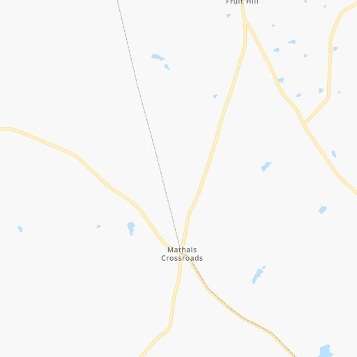
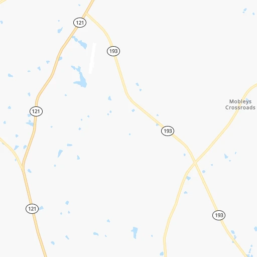
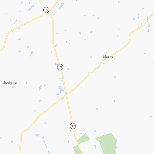
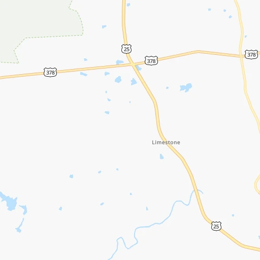
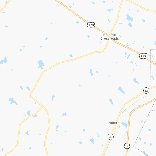
Roadmap (route) to go from Saluda County Airport to Stonecrest detailed above, you can also see the course layout on the map.
While doing trip Saluda County (airport) - Stonecrest by car, the calculated route ends at a distance , or more straight.
Distance and duration of the route between Saluda County (airport) and Stonecrest
Calculation of distance and route from Stonecrest to Saluda County (airport) :
217.5263.1 km3h54mn
Continue 0h0mn 31 mTurn slight left onto Saluoa Airport Road 0h1mn 663 mTurn right onto Daniel Avenue 0h4mn 4.3 kmTurn right onto Duncan Road 0h7mn 5.7 kmTurn right onto Highway 23 0h4mn 3.7 kmTurn left onto Lee Street 0h12mn 12.7 kmContinue onto Edgefield Road 0h18mn 21.3 kmTurn right and take I 20 West toward Atlanta 2h5mn 211.4 kmKeep right and drive toward Evans Mill Road, Lithonia Industrial Boulevard, Lithonia 0h1mn 738 mKeep left and drive toward Luther Rice Seminary 0h0mn 46 mContinue onto Old Hillandale Drive 0h2mn 1.4 kmTurn right onto Lithonia Industrial Boulevard 0h0mn 321 mTurn left onto Hillandale Drive 0h1mn 719 mTurn right 0h0mn 117 mArrive at destination 0h0mn 0 m
Travel from Saluda County (airport) (Georgia) to a selection of major cities.
Distances from Saluda County Airport to biggest cities in South Carolina
- Taylors,21,617 inhabitants.120 km
- Saint Andrews,21,151 inhabitants.63 km
- Conway,21,053 inhabitants.254 km
- Easley,20,765 inhabitants.125 km
- Simpsonville,20,736 inhabitants.100 km
- Wade Hampton,20,622 inhabitants.120 km
- Lexington,20,138 inhabitants.52 km
Other major cities in country :
- Charlotte [NC], 827,097 inhabitants. 169 km
- Seattle [WA], 684,451 inhabitants. 3,689 km
- Denver [CO], 682,545 inhabitants. 2,158 km
- El Paso [TX], 681,124 inhabitants. 2,316 km
- Detroit [MI], 677,116 inhabitants. 942 km
- Boston [MA], 667,137 inhabitants. 1,326 km
- Memphis [TN], 655,770 inhabitants. 769 km
- New South Memphis [TN], 641,608 inhabitants. 769 km
- Portland [OR], 632,309 inhabitants. 3,684 km
- Oklahoma City [OK], 631,346 inhabitants. 1,448 km
- Las Vegas [NV], 623,747 inhabitants. 3,034 km
- Baltimore [MD], 621,849 inhabitants. 755 km
- Washington, D.C. [DC], 601,723 inhabitants. 698 km
- Milwaukee [WI], 600,155 inhabitants. 1,145 km
- South Boston [MA], 571,281 inhabitants. 1,325 km
- Albuquerque [NM], 559,121 inhabitants. 2,278 km
- Tucson [AZ], 531,641 inhabitants. 2,715 km
- Nashville [TN], 530,852 inhabitants. 519 km
- Fresno [CA], 520,052 inhabitants. 3,441 km
- Sacramento [CA], 490,712 inhabitants. 3,573 km
Route from Stonecrest to major cities (United States).
- Distance Stonecrest New York City1,188 km
- Distance Stonecrest Los Angeles3,138 km
- Distance Stonecrest Chicago957 km
- Distance Stonecrest Brooklyn1,187 km
- Distance Stonecrest Houston1,149 km
- Distance Stonecrest Queens1,197 km
- Distance Stonecrest Philadelphia1,058 km
- Distance Stonecrest Phoenix2,583 km
- Distance Stonecrest Manhattan1,195 km
- Distance Stonecrest San Antonio1,441 km
- Distance Stonecrest San Diego3,065 km
- Distance Stonecrest The Bronx1,206 km
- Distance Stonecrest Dallas1,183 km
- Distance Stonecrest San Jose3,422 km
- Distance Stonecrest Austin1,340 km
- Distance Stonecrest Jacksonville443 km
- Distance Stonecrest San Francisco3,464 km
- Distance Stonecrest Columbus703 km
- Distance Stonecrest Fort Worth1,232 km
- Distance Stonecrest Indianapolis698 km
Nearest cities to Saluda County (airport) :
- Charlotte, 827,097 inhabitants. 169 km
- Atlanta, 463,878 inhabitants. 241 km
- Greensboro, 285,342 inhabitants. 301 km
- Durham, 257,636 inhabitants. 350 km
- Winston-Salem, 241,218 inhabitants. 280 km
- Fayetteville, 201,963 inhabitants. 295 km
- Knoxville, 185,291 inhabitants. 298 km
- Savannah, 145,674 inhabitants. 215 km
- Columbia, 133,803 inhabitants. 71 km
- Charleston, 132,609 inhabitants. 215 km
- Athens, 116,714 inhabitants. 146 km
- High Point, 110,268 inhabitants. 279 km
- North Charleston, 108,304 inhabitants. 207 km
- Sandy Springs, 105,330 inhabitants. 239 km
- Roswell, 94,501 inhabitants. 237 km
- Macon, 91,351 inhabitants. 209 km
- Asheville, 88,512 inhabitants. 199 km
- Concord, 87,696 inhabitants. 199 km
- Johns Creek, 83,335 inhabitants. 222 km
- Mount Pleasant, 81,317 inhabitants. 219 km
- Albany, 74,843 inhabitants. 342 km
- Gastonia, 74,543 inhabitants. 159 km
- Warner Robins, 73,490 inhabitants. 224 km
- Rock Hill, 71,548 inhabitants. 132 km
- Johnson City, 66,027 inhabitants. 271 km
- Greenville, 64,579 inhabitants. 117 km
- Alpharetta, 63,693 inhabitants. 231 km
- Chapel Hill, 59,568 inhabitants. 334 km
- Marietta, 59,067 inhabitants. 255 km
- Smyrna, 56,146 inhabitants. 251 km
- Kingsport, 53,014 inhabitants. 300 km
- Huntersville, 52,704 inhabitants. 187 km
- Burlington, 52,472 inhabitants. 323 km
- Brookhaven, 51,910 inhabitants. 235 km
- Stonecrest, 50,000 inhabitants. 218 km
- Summerville, 48,848 inhabitants. 181 km
- Dunwoody, 48,733 inhabitants. 235 km
- Kannapolis, 46,144 inhabitants. 204 km
- Apex, 45,585 inhabitants. 336 km
- Augusta, 43,459 inhabitants. 53 km
- Danville, 42,082 inhabitants. 368 km
- Peachtree Corners, 40,978 inhabitants. 224 km
- Sumter, 40,816 inhabitants. 134 km
- Goose Creek, 40,633 inhabitants. 194 km
- Hilton Head Island, 40,512 inhabitants. 216 km
- North Atlanta, 40,456 inhabitants. 235 km
- Hickory, 40,374 inhabitants. 205 km
- Gainesville, 38,712 inhabitants. 192 km
- Florence, 38,228 inhabitants. 190 km
- Spartanburg, 37,867 inhabitants. 115 km
Location Saluda County (airport) (South Carolina) :
| Country flag |  |
| Location | Saluda County (airport) |
| State | South Carolina |
| County | Saluda County |
| Country | United States |
| Country code / ISO 2 | US |
| Latitude | 33.9250600 |
| Longitude | -81.7936900 |
| Altitude | 165 meters |
| Time zone | America/New_York |
Location Stonecrest (Georgia) :
| Country flag | |
| Location | Stonecrest |
| State | Georgia |
| County | DeKalb County |
| Country | United States |
| Country code / ISO 2 | US |
| Latitude | 33.7084900 |
| Longitude | -84.1348500 |
| Altitude | 0 meters |
| Time zone | America/New_York |


