

How to get from Raven's Run (airport) (South Carolina) to Indian Trail (North Carolina)
Calculate route from Raven's Run (airport) (South Carolina, United States) to Indian Trail (North Carolina, United States).
The flight distance (as the crow flies) between Raven's Run (airport) and Indian Trail is 262.7 km.
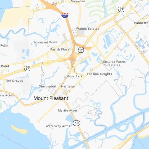
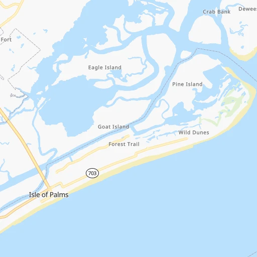
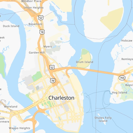
Roadmap (route) to go from Raven's Run Airport to Indian Trail detailed above, you can also see the course layout on the map.
While doing trip Raven's Run (airport) - Indian Trail by car, the calculated route ends at a distance , or more straight.
Distance and duration of the route between Raven's Run (airport) and Indian Trail
Calculation of distance and route from Indian Trail to Raven's Run (airport) :
262.7308.9 km4h26mn
Continue onto Red Tide Road 0h0mn 85 mTurn right onto Keshi Pearl Drive 0h0mn 228 mTurn right onto Shucking Street 0h0mn 74 mTurn left onto Pearl Tabby Drive 0h0mn 135 mTurn left onto Oyster Pearl Drive 0h0mn 86 mTurn right 0h0mn 55 mKeep right onto Six Mile Road 0h2mn 1.7 kmTurn right onto North Highway 17 0h0mn 406 mTurn left onto Long Point Road 0h2mn 2.0 kmAt roundabout, take exit 2 onto Long Point Road 0h3mn 2.6 kmKeep right and take I 526 West toward North Charleston 0h11mn 15.7 kmKeep right and take US 52 West, US 78 West toward Rivers Avenue 0h1mn 1.4 kmKeep left 0h0mn 108 mTurn slight left onto Remount Road 0h0mn 166 mKeep right and take I 26 North toward Columbia 0h0mn 432 mKeep left and take I 26 West toward Columbia 1h42mn 68.1 kmKeep right and take I 95 North toward Florence 0h7mn 11.4 kmKeep right and take US 15 toward Santee, Elloree 0h0mn 544 mKeep left and take US 15 North toward Santee, Elloree 0h0mn 34 mTurn left onto Bass Drive 0h3mn 3.7 kmTurn left onto Tee Vee Road 0h9mn 8.7 kmContinue onto Tee Vee Road 0h9mn 7.3 kmTurn left onto Old River Road 0h3mn 2.2 kmTurn slight right onto McCords Ferry Road 0h11mn 10.6 kmContinue onto McCords Ferry Road 0h7mn 6.9 kmTurn right onto Colonel Thomson Highway 0h19mn 20.9 kmAt roundabout, take exit 2 onto McCords Ferry Road 1h38mn 41.3 kmTurn left onto Springdale Drive 0h3mn 3.7 kmTurn slight right onto Boykin Road 0h2mn 2.5 kmTurn left onto North Broad Street 0h26mn 30.7 kmKeep right onto Fork Hill Road 0h2mn 1.8 kmKeep left onto Fork Hill Road 0h13mn 11.0 kmTurn left onto Flat Creek Road 0h3mn 2.6 kmTurn right onto Rocky River Road 0h4mn 4.2 kmAt roundabout, take exit 2 0h21mn 21.2 kmAt roundabout, take exit 2 onto South Rocky River Road 0h7mn 6.7 kmAt roundabout, take exit 1 onto Waxhaw Highway 0h0mn 68 mKeep left 0h1mn 1.0 kmContinue onto South Rocky River Road 0h8mn 8.3 kmTurn left onto Independence Boulevard 0h5mn 6.2 kmKeep left 0h2mn 1.6 kmTurn left onto North Indian Trail Road 0h0mn 259 mTurn right 0h0mn 8 mTurn left 0h0mn 25 mArrive at destination 0h0mn 0 m
Travel from Raven's Run (airport) (North Carolina) to a selection of major cities.
Distances from Raven's Run Airport to biggest cities in South Carolina
- Taylors,21,617 inhabitants.328 km
- Saint Andrews,21,151 inhabitants.183 km
- Conway,21,053 inhabitants.133 km
- Easley,20,765 inhabitants.341 km
- Simpsonville,20,736 inhabitants.311 km
- Wade Hampton,20,622 inhabitants.329 km
- Lexington,20,138 inhabitants.185 km
Other major cities in country :
- Charlotte [NC], 827,097 inhabitants. 284 km
- Seattle [WA], 684,451 inhabitants. 3,910 km
- Denver [CO], 682,545 inhabitants. 2,377 km
- El Paso [TX], 681,124 inhabitants. 2,507 km
- Detroit [MI], 677,116 inhabitants. 1,096 km
- Boston [MA], 667,137 inhabitants. 1,311 km
- Memphis [TN], 655,770 inhabitants. 980 km
- New South Memphis [TN], 641,608 inhabitants. 979 km
- Portland [OR], 632,309 inhabitants. 3,906 km
- Oklahoma City [OK], 631,346 inhabitants. 1,655 km
- Las Vegas [NV], 623,747 inhabitants. 3,245 km
- Baltimore [MD], 621,849 inhabitants. 775 km
- Washington, D.C. [DC], 601,723 inhabitants. 721 km
- Milwaukee [WI], 600,155 inhabitants. 1,340 km
- South Boston [MA], 571,281 inhabitants. 1,309 km
- Albuquerque [NM], 559,121 inhabitants. 2,484 km
- Tucson [AZ], 531,641 inhabitants. 2,911 km
- Nashville [TN], 530,852 inhabitants. 740 km
- Fresno [CA], 520,052 inhabitants. 3,653 km
- Sacramento [CA], 490,712 inhabitants. 3,790 km
Route from Indian Trail to major cities (United States).
- Distance Indian Trail New York City858 km
- Distance Indian Trail Los Angeles3,426 km
- Distance Indian Trail Chicago968 km
- Distance Indian Trail Brooklyn856 km
- Distance Indian Trail Houston1,500 km
- Distance Indian Trail Queens865 km
- Distance Indian Trail Philadelphia728 km
- Distance Indian Trail Phoenix2,883 km
- Distance Indian Trail Manhattan865 km
- Distance Indian Trail San Antonio1,789 km
- Distance Indian Trail San Diego3,364 km
- Distance Indian Trail The Bronx877 km
- Distance Indian Trail Dallas1,510 km
- Distance Indian Trail San Jose3,682 km
- Distance Indian Trail Austin1,684 km
- Distance Indian Trail Jacksonville536 km
- Distance Indian Trail San Francisco3,721 km
- Distance Indian Trail Columbus581 km
- Distance Indian Trail Fort Worth1,559 km
- Distance Indian Trail Indianapolis713 km
Nearest cities to Raven's Run (airport) :
- Jacksonville, 868,031 inhabitants. 328 km
- Charlotte, 827,097 inhabitants. 284 km
- Raleigh, 451,066 inhabitants. 345 km
- West Raleigh, 338,759 inhabitants. 346 km
- Fayetteville, 201,963 inhabitants. 263 km
- Cary, 159,769 inhabitants. 344 km
- Savannah, 145,674 inhabitants. 147 km
- Columbia, 133,803 inhabitants. 174 km
- Charleston, 132,609 inhabitants. 13 km
- Wilmington, 115,933 inhabitants. 233 km
- North Charleston, 108,304 inhabitants. 16 km
- Greenville, 90,597 inhabitants. 383 km
- Asheville, 88,512 inhabitants. 399 km
- Concord, 87,696 inhabitants. 296 km
- Mount Pleasant, 81,317 inhabitants. 6 km
- Gastonia, 74,543 inhabitants. 300 km
- Rock Hill, 71,548 inhabitants. 260 km
- Jacksonville, 67,357 inhabitants. 308 km
- Greenville, 64,579 inhabitants. 329 km
- Huntersville, 52,704 inhabitants. 303 km
- Wilson, 49,643 inhabitants. 367 km
- Summerville, 48,848 inhabitants. 41 km
- Kannapolis, 46,144 inhabitants. 306 km
- Apex, 45,585 inhabitants. 336 km
- Augusta, 43,459 inhabitants. 214 km
- Sumter, 40,816 inhabitants. 132 km
- Goose Creek, 40,633 inhabitants. 27 km
- Hilton Head Island, 40,512 inhabitants. 112 km
- Hickory, 40,374 inhabitants. 353 km
- St. Johns, 40,000 inhabitants. 347 km
- Florence, 38,228 inhabitants. 153 km
- Spartanburg, 37,867 inhabitants. 307 km
- Hilton Head, 37,099 inhabitants. 111 km
- Indian Trail, 37,073 inhabitants. 263 km
- Mooresville, 36,009 inhabitants. 321 km
- Goldsboro, 35,826 inhabitants. 331 km
- Martinez, 35,795 inhabitants. 225 km
- Ponte Vedra Beach, 35,400 inhabitants. 324 km
- Monroe, 34,623 inhabitants. 250 km
- Salisbury, 34,017 inhabitants. 323 km
- Hinesville, 33,398 inhabitants. 200 km
- Holly Springs, 31,377 inhabitants. 327 km
- Myrtle Beach, 31,035 inhabitants. 129 km
- Lakeside, 30,943 inhabitants. 353 km
- Statesboro, 30,721 inhabitants. 190 km
- Matthews, 30,678 inhabitants. 269 km
- Aiken, 30,604 inhabitants. 196 km
- New Bern, 30,070 inhabitants. 360 km
- Fruit Cove, 29,362 inhabitants. 348 km
- Fort Bragg, 29,183 inhabitants. 268 km
Location Raven's Run (airport) (South Carolina) :
| Country flag |  |
| Location | Raven's Run (airport) |
| State | South Carolina |
| County | Charleston County |
| Country | United States |
| Country code / ISO 2 | US |
| Latitude | 32.8234000 |
| Longitude | -79.8086300 |
| Altitude | 2 meters |
| Time zone | America/New_York |
Location Indian Trail (North Carolina) :
| Country flag | |
| Location | Indian Trail |
| State | North Carolina |
| County | Union County |
| Country | United States |
| Country code / ISO 2 | US |
| Latitude | 35.0768100 |
| Longitude | -80.6692400 |
| Altitude | 213 meters |
| Time zone | America/New_York |


