
How to get from Pageland (airport) (South Carolina) to Queens (New York)
Calculate route from Pageland (airport) (South Carolina, United States) to Queens (New York, United States).
The flight distance (as the crow flies) between Pageland (airport) and Queens is 873.0 km.
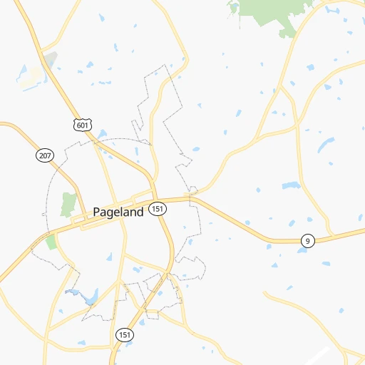
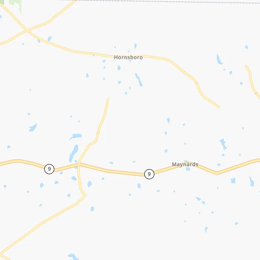
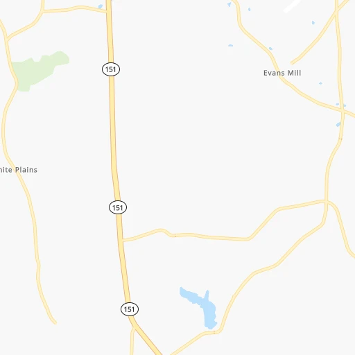
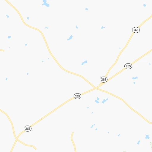
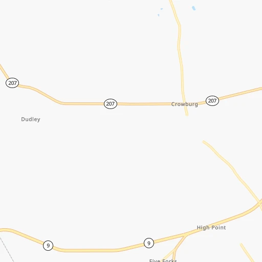
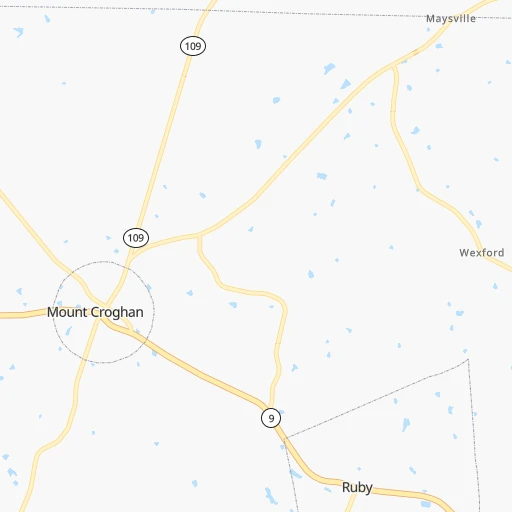
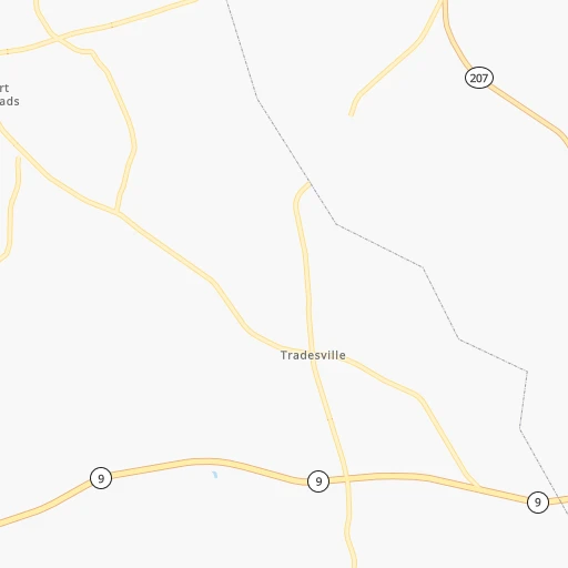
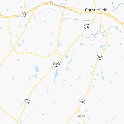
Roadmap (route) to go from Pageland Airport to Queens detailed above, you can also see the course layout on the map.
While doing trip Pageland (airport) - Queens by car, the calculated route ends at a distance , or more straight.
Distance and duration of the route between Pageland (airport) and Queens
Calculation of distance and route from Queens to Pageland (airport) :
873.01,006.8 km12h51mn
Continue onto Hatchery Road 0h2mn 802 mTurn right onto Peach Orchard Road 0h0mn 8 mKeep left onto Airport Road 0h1mn 575 mTurn left onto Guess Road 0h4mn 3.2 kmTurn slight right 0h2mn 1.1 kmTurn sharp right onto Main Street 0h5mn 6.5 kmTurn left onto Main Street 0h1mn 962 mKeep right onto Mayesville Road 0h17mn 13.9 kmTurn right onto Cason Oldfield Road 0h8mn 6.4 kmKeep left onto NC 145 0h20mn 19.6 kmTurn right onto Andrew Jackson Highway 0h6mn 8.8 kmTurn left onto Old US Hwy 74 0h0mn 46 mTurn right onto Old US Hwy 74 0h1mn 466 mTurn left onto Cartledge Creek Road 0h0mn 379 mTurn right onto Kemberly Street 0h0mn 185 mTurn left onto Ellerbe Road 0h1mn 744 mTurn right onto Ellerbe Road 0h0mn 21 mTurn left onto US 220 0h14mn 22.0 kmKeep right toward NC 73 0h0mn 498 mTurn right onto NC 73 0h13mn 17.4 kmTurn left onto NC 211 Highway 0h0mn 354 mTurn right onto NC 73 0h11mn 12.1 kmTurn left onto US 15, US 501 0h11mn 13.8 kmContinue onto US 15, US 501 0h10mn 13.9 kmTurn left onto Jefferson Davis Highway 0h23mn 36.0 kmKeep right 0h0mn 336 mTurn left onto Old US Highway 1 0h10mn 13.9 kmTurn left and take NC 540 Toll North toward Cary 0h10mn 17.3 kmKeep right and take NC 885 Toll North toward Durham 0h9mn 14.0 kmKeep right onto East End Connector and take I 885 North toward Greensboro, Petersburg 0h4mn 6.0 kmKeep right and take I 85 North, US 15 North toward Henderson, Petersburg 1h36mn 59.4 kmKeep left onto I 85 1h16mn 128.9 kmKeep right and take US 460 West toward Blackstone 0h0mn 373 mKeep right 0h0mn 207 mTurn left onto Boydton Plank Road 0h9mn 10.2 kmKeep left and take I 95 North toward Richmond 0h27mn 38.3 kmKeep right and take US 1, US 301 toward Chamberlayne Avenue 0h0mn 265 mTurn right onto Chamberlayne Avenue 0h1mn 406 mTurn left onto Mitchell Street 0h0mn 10 mTurn right onto Chamberlayne Avenue 0h8mn 6.6 kmKeep left and take I 95 North toward Ashland, Washington 1h49mn 80.6 kmKeep right onto I 95, US 17 0h2mn 2.6 kmKeep left 0h22mn 34.9 kmKeep left and drive toward E-ZPass Express 0h0mn 283 mContinue onto 95 Express Lanes 0h24mn 38.1 kmKeep right onto 395 Express Lanes 0h2mn 2.7 kmKeep left and take US 1 North toward 14th Street, National Mall 0h1mn 1.2 kmTurn right onto C Street Southwest 0h0mn 324 mTurn left onto 12th Street Southwest 0h0mn 178 mTurn right onto Independence Avenue Southwest 0h2mn 1.9 kmTurn left onto 1st Street Southeast 0h0mn 384 mTurn right onto Maryland Avenue Northeast 0h0mn 178 mTurn right onto Constitution Avenue Northeast 0h1mn 498 mKeep left onto US 1 ALT 0h0mn 99 mKeep right onto Maryland Avenue Northeast 0h1mn 1.5 kmKeep left onto Bladensburg Road Northeast 0h2mn 2.1 kmTurn right onto New York Avenue Northeast 0h2mn 3.0 kmKeep left onto Baltimore-Washington Parkway and drive toward Baltimore 1h34mn 44.3 kmKeep right and take I 895 North toward Baltimore Harbor Tunnel Thruway 0h12mn 15.5 kmKeep left onto Express Toll Lanes 0h8mn 12.9 kmKeep left 1h43mn 67.0 kmContinue onto Delaware Turnpike and drive toward EZ-Pass Only 0h10mn 16.0 kmKeep right onto Delaware Turnpike and take I 295, NJTP toward Delaware Memorial Bridge, New York, New Jersey 0h1mn 1.7 kmKeep left and take US 13 North toward Wilmington 0h1mn 1.2 kmKeep right and take I 295 North toward Delware Memorial Bridge, New York, New Jersey 0h6mn 7.5 kmKeep left onto New Jersey Turnpike and drive toward NJ Turnpike, Atlantic City 0h3mn 4.0 kmKeep left 1h48mn 75.7 kmKeep right onto New Jersey Turnpike 1h39mn 61.8 kmKeep right and take I 287 North, NJ 440 North toward Metuchen, Perth Amboy 0h1mn 1.0 kmKeep left and take I 287 North, CR 514 East, NJ 440 North toward Metuchen, Woodbridge, Perth Amboy, Outerbridge Crossing 0h0mn 456 mKeep right and take NJ 440 North toward Staten Island, Outerbridge Crossing 0h6mn 8.8 kmKeep right onto NY 440 0h0mn 195 mKeep left onto NY 440 0h1mn 620 mKeep left onto Korean War Veterans Parkway 0h5mn 5.8 kmKeep right and drive toward Richmond Avenue South 0h1mn 571 mContinue onto Wainwright Avenue 0h0mn 213 mTurn left onto Richmond Avenue 0h0mn 91 mTurn sharp right onto Arthur Kill Road 0h3mn 2.5 kmTurn right onto Richmond Road 0h2mn 1.7 kmKeep right onto Morley Avenue 0h0mn 167 mKeep right onto Morley Avenue 0h0mn 48 mTurn slight right onto Richmond Road 0h0mn 337 mTurn left onto Richmond Road 0h6mn 3.9 kmKeep right onto West Fingerboard Road 0h1mn 903 mContinue onto West Fingerboard Road 0h0mn 166 mTurn left onto Windermere Road 0h0mn 46 mTurn right onto Windermere Road 0h1mn 484 mTurn right onto Hylan Boulevard 0h0mn 284 mTurn left onto Fingerboard Road 0h1mn 398 mTurn right onto Narrows Road South 0h0mn 70 mKeep left and take I 278 Toll East toward Verrazano Narrows Bridge, Brooklyn 0h0mn 464 mKeep left and take I 278 East toward Verrazzano-Narrows Bridge Upper Level 0h0mn 256 mKeep right onto Staten Island Expressway 0h3mn 3.9 kmKeep right toward I 278 East 0h0mn 324 mKeep right and drive toward Fort Hamilton Parkway 0h0mn 253 mKeep right and drive toward Fort Hamilton Parkway 0h0mn 44 mTurn slight right onto Fort Hamilton Parkway 0h3mn 3.2 kmTurn right onto 39th Street 0h1mn 691 mTurn left onto 14th Avenue 0h6mn 6.0 kmKeep right onto Linden Boulevard 0h0mn 169 mKeep left 0h4mn 4.9 kmTurn left onto Eldert Lane 0h1mn 515 mTurn right onto Sutter Avenue 0h1mn 918 mTurn slight right onto Pitkin Avenue 0h0mn 68 mTurn left onto 84th Street 0h0mn 34 mTurn right onto Sutter Avenue 0h2mn 760 mTurn sharp left onto Cross Bay Boulevard 0h0mn 445 mTurn sharp right onto Rockaway Boulevard 0h0mn 93 mKeep left onto Liberty Avenue 0h1mn 578 mTurn right onto 104th Street 0h0mn 63 mArrive at destination 0h0mn 0 m
Travel from Pageland (airport) (New York) to a selection of major cities.
Distances from Pageland Airport to biggest cities in South Carolina
- Taylors,21,617 inhabitants.179 km
- Saint Andrews,21,151 inhabitants.106 km
- Conway,21,053 inhabitants.156 km
- Easley,20,765 inhabitants.206 km
- Simpsonville,20,736 inhabitants.175 km
- Wade Hampton,20,622 inhabitants.182 km
- Lexington,20,138 inhabitants.118 km
Other major cities in country :
- Charlotte [NC], 827,097 inhabitants. 70 km
- Seattle [WA], 684,451 inhabitants. 3,743 km
- Denver [CO], 682,545 inhabitants. 2,245 km
- El Paso [TX], 681,124 inhabitants. 2,449 km
- Detroit [MI], 677,116 inhabitants. 877 km
- Boston [MA], 667,137 inhabitants. 1,170 km
- Memphis [TN], 655,770 inhabitants. 886 km
- New South Memphis [TN], 641,608 inhabitants. 887 km
- Portland [OR], 632,309 inhabitants. 3,748 km
- Oklahoma City [OK], 631,346 inhabitants. 1,564 km
- Las Vegas [NV], 623,747 inhabitants. 3,142 km
- Baltimore [MD], 621,849 inhabitants. 605 km
- Washington, D.C. [DC], 601,723 inhabitants. 548 km
- Milwaukee [WI], 600,155 inhabitants. 1,131 km
- South Boston [MA], 571,281 inhabitants. 1,169 km
- Albuquerque [NM], 559,121 inhabitants. 2,394 km
- Tucson [AZ], 531,641 inhabitants. 2,842 km
- Nashville [TN], 530,852 inhabitants. 605 km
- Fresno [CA], 520,052 inhabitants. 3,544 km
- Sacramento [CA], 490,712 inhabitants. 3,668 km
Route from Queens to major cities (United States).
- Distance Queens Los Angeles3,955 km
- Distance Queens Chicago1,162 km
- Distance Queens Houston2,295 km
- Distance Queens Philadelphia139 km
- Distance Queens Phoenix3,462 km
- Distance Queens San Antonio2,560 km
- Distance Queens San Diego3,926 km
- Distance Queens Dallas2,221 km
- Distance Queens San Jose4,122 km
- Distance Queens Austin2,446 km
- Distance Queens Jacksonville1,351 km
- Distance Queens San Francisco4,148 km
- Distance Queens Columbus781 km
- Distance Queens Fort Worth2,266 km
- Distance Queens Indianapolis1,051 km
- Distance Queens Charlotte864 km
- Distance Queens Seattle3,884 km
- Distance Queens Denver2,636 km
- Distance Queens El Paso3,075 km
- Distance Queens Detroit789 km
Nearest cities to Pageland (airport) :
- Charlotte, 827,097 inhabitants. 70 km
- Raleigh, 451,066 inhabitants. 193 km
- West Raleigh, 338,759 inhabitants. 192 km
- Greensboro, 285,342 inhabitants. 156 km
- Durham, 257,636 inhabitants. 192 km
- Winston-Salem, 241,218 inhabitants. 151 km
- Richmond, 220,289 inhabitants. 406 km
- Fayetteville, 201,963 inhabitants. 138 km
- Cary, 159,769 inhabitants. 184 km
- Savannah, 145,674 inhabitants. 304 km
- Columbia, 133,803 inhabitants. 104 km
- Charleston, 132,609 inhabitants. 222 km
- Wilmington, 115,933 inhabitants. 228 km
- High Point, 110,268 inhabitants. 139 km
- North Charleston, 108,304 inhabitants. 213 km
- Roanoke, 99,897 inhabitants. 284 km
- Greenville, 90,597 inhabitants. 288 km
- Asheville, 88,512 inhabitants. 222 km
- Concord, 87,696 inhabitants. 77 km
- Mount Pleasant, 81,317 inhabitants. 221 km
- Lynchburg, 79,812 inhabitants. 317 km
- Gastonia, 74,543 inhabitants. 96 km
- Rock Hill, 71,548 inhabitants. 65 km
- Jacksonville, 67,357 inhabitants. 267 km
- Johnson City, 66,027 inhabitants. 252 km
- West Lynchburg, 65,517 inhabitants. 314 km
- Greenville, 64,579 inhabitants. 188 km
- Chapel Hill, 59,568 inhabitants. 175 km
- Rocky Mount, 55,806 inhabitants. 268 km
- Kingsport, 53,014 inhabitants. 284 km
- Huntersville, 52,704 inhabitants. 87 km
- Burlington, 52,472 inhabitants. 172 km
- Wilson, 49,643 inhabitants. 246 km
- Summerville, 48,848 inhabitants. 193 km
- Kannapolis, 46,144 inhabitants. 87 km
- Apex, 45,585 inhabitants. 175 km
- Tuckahoe, 44,990 inhabitants. 404 km
- Blacksburg, 44,215 inhabitants. 277 km
- Augusta, 43,459 inhabitants. 206 km
- Danville, 42,082 inhabitants. 223 km
- Sumter, 40,816 inhabitants. 91 km
- Goose Creek, 40,633 inhabitants. 198 km
- Hilton Head Island, 40,512 inhabitants. 286 km
- Hickory, 40,374 inhabitants. 143 km
- Florence, 38,228 inhabitants. 81 km
- Wake Forest, 38,199 inhabitants. 216 km
- Spartanburg, 37,867 inhabitants. 147 km
- Hilton Head, 37,099 inhabitants. 284 km
- Indian Trail, 37,073 inhabitants. 47 km
- Mechanicsville, 36,348 inhabitants. 416 km
Location Pageland (airport) (South Carolina) :
| Country flag |  |
| Location | Pageland (airport) |
| State | South Carolina |
| County | Chesterfield County |
| Country | United States |
| Country code / ISO 2 | US |
| Latitude | 34.7421100 |
| Longitude | -80.3465400 |
| Altitude | 171 meters |
| Time zone | America/New_York |
Location Queens (New York) :
| Country flag | |
| Location | Queens |
| State | New York |
| County | Queens County |
| Country | United States |
| Country code / ISO 2 | US |
| Latitude | 40.6814900 |
| Longitude | -73.8365200 |
| Altitude | 12 meters |
| Time zone | America/New_York |


