


Home
››
Myrtle Beach International Airport
››
Roadmap from Myrtle Beach International Airport to Mooresville
How to get from Myrtle Beach International (airport) (South Carolina) to Mooresville (North Carolina)
Calculate route from Myrtle Beach International (airport) (South Carolina, United States) to Mooresville (North Carolina, United States).
The flight distance (as the crow flies) between Myrtle Beach International (airport) and Mooresville is 272.8 km.
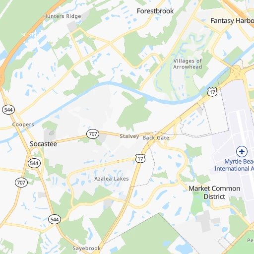
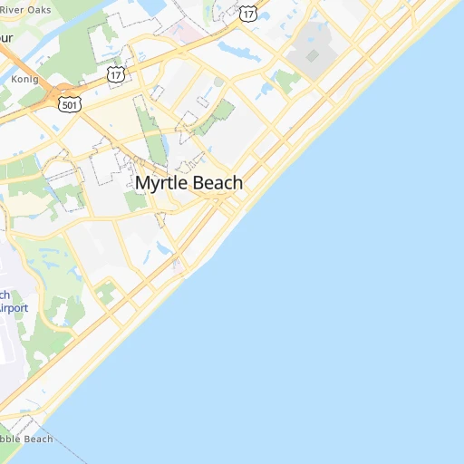
Roadmap (route) to go from Myrtle Beach International Airport to Mooresville detailed above, you can also see the course layout on the map.
While doing trip Myrtle Beach International (airport) - Mooresville by car, the calculated route ends at a distance , or more straight.
Distance and duration of the route between Myrtle Beach International (airport) and Mooresville
Calculation of distance and route from Mooresville to Myrtle Beach International (airport) :
272.8305.0 km4h29mn
Continue 0h1mn 215 mTurn slight right onto Notam Road 0h1mn 470 mContinue onto Highway 15 0h0mn 16 mTurn sharp left onto Harrelson Boulevard 0h4mn 4.4 kmTurn left onto Fantasy Harbour Boulevard 0h2mn 2.1 kmKeep right 0h0mn 252 mKeep left and take US 501 North toward Carolina Forest, Conway 0h1mn 683 mKeep left and take US 501 North, SC 31 South toward Conway:Georgetown 0h0mn 342 mKeep left 1h32mn 36.7 kmTurn slight right onto US 501 0h22mn 25.9 kmKeep right onto US 501 Business, SC 41 Alternate 0h9mn 10.0 kmKeep left onto US 501 Business 1h48mn 54.3 kmTurn left onto West Main Street 0h0mn 221 mTurn right onto Cheraw Street 0h1mn 910 mKeep left onto Cheraw Highway 0h2mn 1.7 kmContinue onto SC 9 0h18mn 20.7 kmTurn right onto Front Street 0h0mn 512 mTurn right onto 2nd Street 0h27mn 31.8 kmKeep left onto Morven Road 0h3mn 2.6 kmTurn left onto East Morgan Street 0h0mn 158 mTurn right onto South Greene Street 0h0mn 340 mTurn left onto West Caswell Street 0h1mn 1.2 kmKeep right onto Salisbury Street 1h35mn 43.8 kmTurn left onto NC 24, NC 27 0h5mn 6.7 kmTurn right onto North Central Avenue 0h13mn 13.2 kmTurn right onto US 601 0h11mn 12.4 kmKeep right onto US 601, NC 73 Truck 0h3mn 3.0 kmKeep left 0h1mn 556 mTurn left onto Davidson Highway 0h7mn 7.7 kmTurn slight right onto Davidson Highway 0h2mn 2.6 kmTurn right onto Odell School Road 0h6mn 6.4 kmKeep left onto Mooresville Road 0h0mn 53 mKeep right onto Mooresville Road 0h12mn 13.1 kmTurn left onto North Main Street 0h0mn 18 mTurn right 0h0mn 31 mArrive at destination 0h0mn 0 m
Travel from Myrtle Beach International (airport) (North Carolina) to a selection of major cities.
Distances from Myrtle Beach International Airport to biggest cities in South Carolina
- Taylors,21,617 inhabitants.339 km
- Saint Andrews,21,151 inhabitants.208 km
- Conway,21,053 inhabitants.21 km
- Easley,20,765 inhabitants.362 km
- Simpsonville,20,736 inhabitants.328 km
- Wade Hampton,20,622 inhabitants.342 km
- Lexington,20,138 inhabitants.216 km
Other major cities in country :
- Charlotte [NC], 827,097 inhabitants. 246 km
- Seattle [WA], 684,451 inhabitants. 3,918 km
- Denver [CO], 682,545 inhabitants. 2,412 km
- El Paso [TX], 681,124 inhabitants. 2,583 km
- Detroit [MI], 677,116 inhabitants. 1,028 km
- Boston [MA], 667,137 inhabitants. 1,186 km
- Memphis [TN], 655,770 inhabitants. 1,034 km
- New South Memphis [TN], 641,608 inhabitants. 1,034 km
- Portland [OR], 632,309 inhabitants. 3,922 km
- Oklahoma City [OK], 631,346 inhabitants. 1,713 km
- Las Vegas [NV], 623,747 inhabitants. 3,298 km
- Baltimore [MD], 621,849 inhabitants. 658 km
- Washington, D.C. [DC], 601,723 inhabitants. 604 km
- Milwaukee [WI], 600,155 inhabitants. 1,302 km
- South Boston [MA], 571,281 inhabitants. 1,184 km
- Albuquerque [NM], 559,121 inhabitants. 2,544 km
- Tucson [AZ], 531,641 inhabitants. 2,982 km
- Nashville [TN], 530,852 inhabitants. 769 km
- Fresno [CA], 520,052 inhabitants. 3,703 km
- Sacramento [CA], 490,712 inhabitants. 3,832 km
Route from Mooresville to major cities (United States).
- Distance Mooresville New York City825 km
- Distance Mooresville Los Angeles3,405 km
- Distance Mooresville Chicago916 km
- Distance Mooresville Brooklyn823 km
- Distance Mooresville Houston1,508 km
- Distance Mooresville Queens833 km
- Distance Mooresville Philadelphia695 km
- Distance Mooresville Phoenix2,865 km
- Distance Mooresville Manhattan832 km
- Distance Mooresville San Antonio1,793 km
- Distance Mooresville San Diego3,345 km
- Distance Mooresville The Bronx843 km
- Distance Mooresville Dallas1,504 km
- Distance Mooresville San Jose3,654 km
- Distance Mooresville Austin1,687 km
- Distance Mooresville Jacksonville590 km
- Distance Mooresville San Francisco3,692 km
- Distance Mooresville Columbus524 km
- Distance Mooresville Fort Worth1,552 km
- Distance Mooresville Indianapolis662 km
Nearest cities to Myrtle Beach International (airport) :
- Charlotte, 827,097 inhabitants. 246 km
- Raleigh, 451,066 inhabitants. 234 km
- West Raleigh, 338,759 inhabitants. 235 km
- Greensboro, 285,342 inhabitants. 278 km
- Durham, 257,636 inhabitants. 257 km
- Winston-Salem, 241,218 inhabitants. 295 km
- Fayetteville, 201,963 inhabitants. 153 km
- Cary, 159,769 inhabitants. 235 km
- Savannah, 145,674 inhabitants. 270 km
- Columbia, 133,803 inhabitants. 198 km
- Charleston, 132,609 inhabitants. 138 km
- Wilmington, 115,933 inhabitants. 109 km
- High Point, 110,268 inhabitants. 272 km
- North Charleston, 108,304 inhabitants. 134 km
- Greenville, 90,597 inhabitants. 258 km
- Concord, 87,696 inhabitants. 245 km
- Mount Pleasant, 81,317 inhabitants. 132 km
- Gastonia, 74,543 inhabitants. 272 km
- Rock Hill, 71,548 inhabitants. 238 km
- Jacksonville, 67,357 inhabitants. 182 km
- Chapel Hill, 59,568 inhabitants. 249 km
- Rocky Mount, 55,806 inhabitants. 272 km
- Huntersville, 52,704 inhabitants. 261 km
- Burlington, 52,472 inhabitants. 273 km
- Wilson, 49,643 inhabitants. 245 km
- Summerville, 48,848 inhabitants. 138 km
- Kannapolis, 46,144 inhabitants. 254 km
- Apex, 45,585 inhabitants. 228 km
- Danville, 42,082 inhabitants. 326 km
- Sumter, 40,816 inhabitants. 134 km
- Goose Creek, 40,633 inhabitants. 129 km
- Hilton Head Island, 40,512 inhabitants. 237 km
- Hickory, 40,374 inhabitants. 318 km
- Florence, 38,228 inhabitants. 96 km
- Wake Forest, 38,199 inhabitants. 259 km
- Hilton Head, 37,099 inhabitants. 236 km
- Indian Trail, 37,073 inhabitants. 223 km
- Mooresville, 36,009 inhabitants. 273 km
- Goldsboro, 35,826 inhabitants. 208 km
- Monroe, 34,623 inhabitants. 208 km
- Salisbury, 34,017 inhabitants. 263 km
- Hinesville, 33,398 inhabitants. 323 km
- Holly Springs, 31,377 inhabitants. 219 km
- Myrtle Beach, 31,035 inhabitants. 3 km
- Statesboro, 30,721 inhabitants. 300 km
- Matthews, 30,678 inhabitants. 230 km
- Aiken, 30,604 inhabitants. 260 km
- New Bern, 30,070 inhabitants. 235 km
- Fort Bragg, 29,183 inhabitants. 162 km
- Sanford, 29,144 inhabitants. 201 km
Location Myrtle Beach International (airport) (South Carolina) :
| Country flag |  |
| Location | Myrtle Beach International (airport) |
| State | South Carolina |
| County | Horry County |
| Country | United States |
| Country code / ISO 2 | US |
| Latitude | 33.6824000 |
| Longitude | -78.9232400 |
| Altitude | 6 meters |
| Time zone | America/New_York |
Location Mooresville (North Carolina) :
| Country flag | |
| Location | Mooresville |
| State | North Carolina |
| County | Iredell County |
| Country | United States |
| Country code / ISO 2 | US |
| Latitude | 35.5848600 |
| Longitude | -80.8100700 |
| Altitude | 277 meters |
| Time zone | America/New_York |


