

How to get from Columbia Metropolitan (airport) (South Carolina) to Hinesville (Georgia)
Calculate route from Columbia Metropolitan (airport) (South Carolina, United States) to Hinesville (Georgia, United States).
The flight distance (as the crow flies) between Columbia Metropolitan (airport) and Hinesville is 237.2 km.
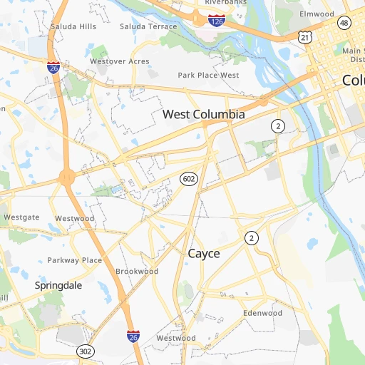
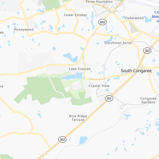
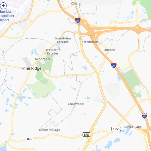
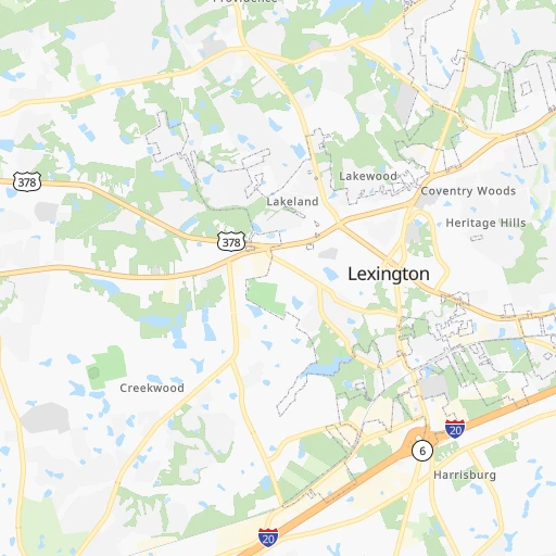
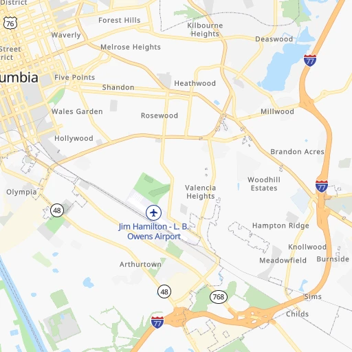
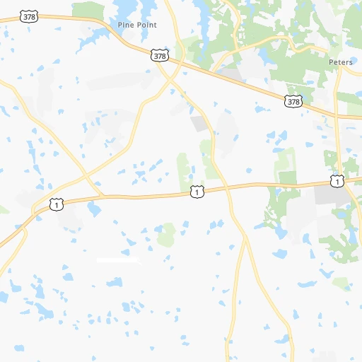
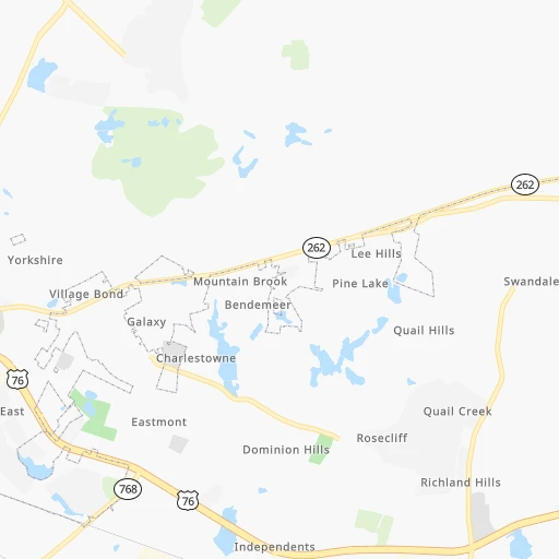
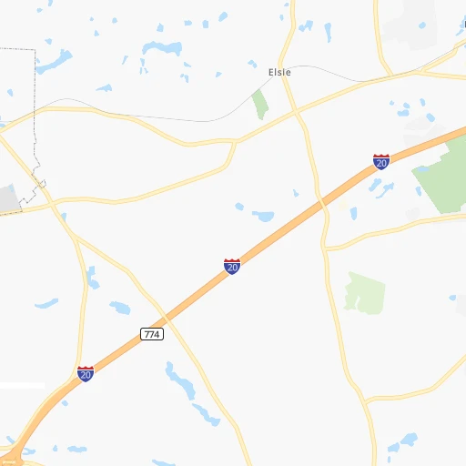
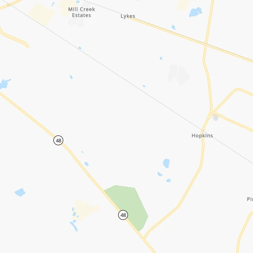
Roadmap (route) to go from Columbia Metropolitan Airport to Hinesville detailed above, you can also see the course layout on the map.
While doing trip Columbia Metropolitan (airport) - Hinesville by car, the calculated route ends at a distance , or more straight.
Distance and duration of the route between Columbia Metropolitan (airport) and Hinesville
Calculation of distance and route from Hinesville to Columbia Metropolitan (airport) :
237.2302.7 km3h8mn
Continue onto Aviation Way 0h0mn 113 mTurn left 0h0mn 87 mTurn right onto Airport Boulevard 0h0mn 216 mKeep right 0h0mn 98 mContinue onto Airport Boulevard 0h1mn 610 mTurn left onto Lexington Drive 0h0mn 98 mTurn right onto Columbia Airport Expressway 0h1mn 1.0 kmTurn left onto Airport Boulevard 0h1mn 1.4 kmTurn right 1h53mn 88.3 kmKeep right and take I 95 South toward Savannah 2h46mn 179.1 kmKeep right and take US 17 toward Coastal Highway 0h0mn 345 mTurn left and take US 17 South toward Coastal Highway 0h0mn 34 mKeep left onto Ocean Highway 0h7mn 7.7 kmKeep right and take GA 196 West toward Hinesville 0h11mn 14.2 kmTurn right onto East Oglethorpe Highway 0h7mn 8.9 kmTurn right onto East Martin Luther King Junior Drive 0h0mn 340 mTurn right 0h0mn 21 mArrive at destination 0h0mn 0 m
Travel from Columbia Metropolitan (airport) (Georgia) to a selection of major cities.
Distances from Columbia Metropolitan Airport to biggest cities in South Carolina
- Taylors,21,617 inhabitants.153 km
- Saint Andrews,21,151 inhabitants.11 km
- Conway,21,053 inhabitants.192 km
- Easley,20,765 inhabitants.168 km
- Simpsonville,20,736 inhabitants.136 km
- Wade Hampton,20,622 inhabitants.154 km
- Lexington,20,138 inhabitants.11 km
Other major cities in country :
- Charlotte [NC], 827,097 inhabitants. 145 km
- Seattle [WA], 684,451 inhabitants. 3,737 km
- Denver [CO], 682,545 inhabitants. 2,214 km
- El Paso [TX], 681,124 inhabitants. 2,378 km
- Detroit [MI], 677,116 inhabitants. 949 km
- Boston [MA], 667,137 inhabitants. 1,284 km
- Memphis [TN], 655,770 inhabitants. 829 km
- New South Memphis [TN], 641,608 inhabitants. 829 km
- Portland [OR], 632,309 inhabitants. 3,735 km
- Oklahoma City [OK], 631,346 inhabitants. 1,508 km
- Las Vegas [NV], 623,747 inhabitants. 3,093 km
- Baltimore [MD], 621,849 inhabitants. 719 km
- Washington, D.C. [DC], 601,723 inhabitants. 661 km
- Milwaukee [WI], 600,155 inhabitants. 1,171 km
- South Boston [MA], 571,281 inhabitants. 1,283 km
- Albuquerque [NM], 559,121 inhabitants. 2,338 km
- Tucson [AZ], 531,641 inhabitants. 2,776 km
- Nashville [TN], 530,852 inhabitants. 572 km
- Fresno [CA], 520,052 inhabitants. 3,499 km
- Sacramento [CA], 490,712 inhabitants. 3,631 km
Route from Hinesville to major cities (United States).
- Distance Hinesville New York City1,198 km
- Distance Hinesville Los Angeles3,414 km
- Distance Hinesville Chicago1,236 km
- Distance Hinesville Brooklyn1,195 km
- Distance Hinesville Houston1,336 km
- Distance Hinesville Queens1,204 km
- Distance Hinesville Philadelphia1,072 km
- Distance Hinesville Phoenix2,852 km
- Distance Hinesville Manhattan1,206 km
- Distance Hinesville San Antonio1,639 km
- Distance Hinesville San Diego3,333 km
- Distance Hinesville The Bronx1,217 km
- Distance Hinesville Dallas1,434 km
- Distance Hinesville San Jose3,715 km
- Distance Hinesville Austin1,548 km
- Distance Hinesville Jacksonville169 km
- Distance Hinesville San Francisco3,759 km
- Distance Hinesville Columbus912 km
- Distance Hinesville Fort Worth1,482 km
- Distance Hinesville Indianapolis973 km
Nearest cities to Columbia Metropolitan (airport) :
- Charlotte, 827,097 inhabitants. 145 km
- Raleigh, 451,066 inhabitants. 305 km
- West Raleigh, 338,759 inhabitants. 304 km
- Greensboro, 285,342 inhabitants. 266 km
- Durham, 257,636 inhabitants. 305 km
- Winston-Salem, 241,218 inhabitants. 253 km
- Fayetteville, 201,963 inhabitants. 240 km
- Knoxville, 185,291 inhabitants. 340 km
- Cary, 159,769 inhabitants. 297 km
- Savannah, 145,674 inhabitants. 207 km
- Columbia, 133,803 inhabitants. 10 km
- Charleston, 132,609 inhabitants. 171 km
- Athens, 116,714 inhabitants. 208 km
- High Point, 110,268 inhabitants. 246 km
- North Charleston, 108,304 inhabitants. 162 km
- Macon, 91,351 inhabitants. 263 km
- Asheville, 88,512 inhabitants. 226 km
- Concord, 87,696 inhabitants. 170 km
- Mount Pleasant, 81,317 inhabitants. 174 km
- Gastonia, 74,543 inhabitants. 147 km
- Warner Robins, 73,490 inhabitants. 276 km
- Rock Hill, 71,548 inhabitants. 109 km
- Johnson City, 66,027 inhabitants. 286 km
- Greenville, 64,579 inhabitants. 154 km
- Chapel Hill, 59,568 inhabitants. 289 km
- Kingsport, 53,014 inhabitants. 318 km
- Huntersville, 52,704 inhabitants. 165 km
- Burlington, 52,472 inhabitants. 285 km
- Summerville, 48,848 inhabitants. 136 km
- Kannapolis, 46,144 inhabitants. 178 km
- Apex, 45,585 inhabitants. 288 km
- Augusta, 43,459 inhabitants. 95 km
- Danville, 42,082 inhabitants. 333 km
- Sumter, 40,816 inhabitants. 72 km
- Goose Creek, 40,633 inhabitants. 148 km
- Hilton Head Island, 40,512 inhabitants. 198 km
- Hickory, 40,374 inhabitants. 200 km
- Gainesville, 38,712 inhabitants. 252 km
- Florence, 38,228 inhabitants. 129 km
- Wake Forest, 38,199 inhabitants. 329 km
- Spartanburg, 37,867 inhabitants. 134 km
- Hilton Head, 37,099 inhabitants. 196 km
- Indian Trail, 37,073 inhabitants. 133 km
- Mooresville, 36,009 inhabitants. 185 km
- Martinez, 35,795 inhabitants. 100 km
- Monroe, 34,623 inhabitants. 127 km
- Salisbury, 34,017 inhabitants. 201 km
- Hinesville, 33,398 inhabitants. 238 km
- Holly Springs, 31,377 inhabitants. 283 km
- Myrtle Beach, 31,035 inhabitants. 209 km
Location Columbia Metropolitan (airport) (South Carolina) :
| Country flag |  |
| Location | Columbia Metropolitan (airport) |
| State | South Carolina |
| County | Lexington County |
| Country | United States |
| Country code / ISO 2 | US |
| Latitude | 33.9450200 |
| Longitude | -81.1254300 |
| Altitude | 74 meters |
| Time zone | America/New_York |
Location Hinesville (Georgia) :
| Country flag | |
| Location | Hinesville |
| State | Georgia |
| County | Liberty County |
| Country | United States |
| Country code / ISO 2 | US |
| Latitude | 31.8468800 |
| Longitude | -81.5959500 |
| Altitude | 23 meters |
| Time zone | America/New_York |


