

How to get from Aiken Municipal (airport) (South Carolina) to Milwaukee (Wisconsin)
Calculate route from Aiken Municipal (airport) (South Carolina, United States) to Milwaukee (Wisconsin, United States).
The flight distance (as the crow flies) between Aiken Municipal (airport) and Milwaukee is 1,175.2 km.
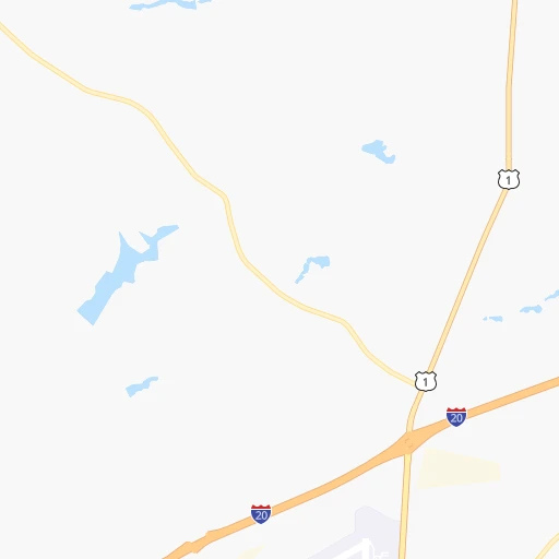
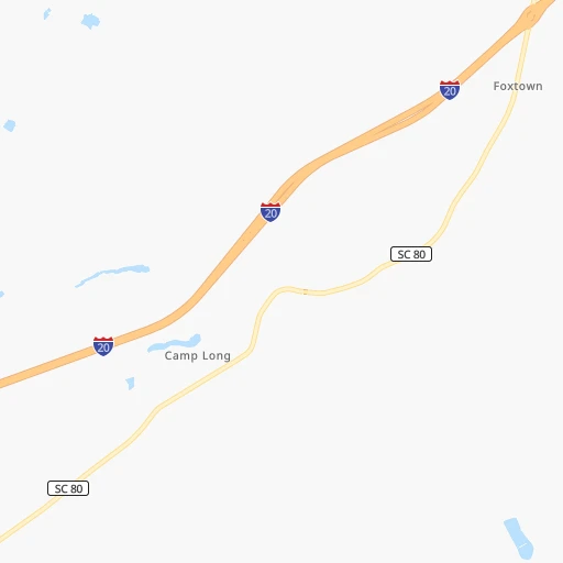
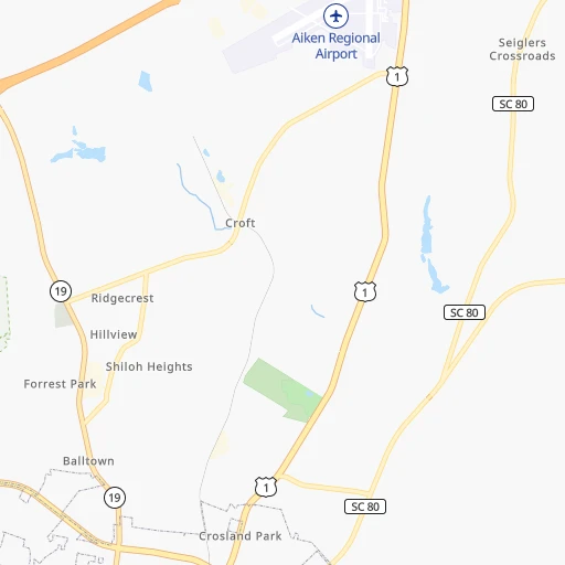
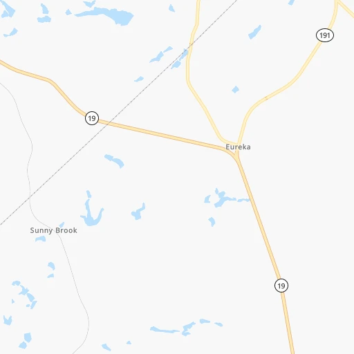
Roadmap (route) to go from Aiken Municipal Airport to Milwaukee detailed above, you can also see the course layout on the map.
While doing trip Aiken Municipal (airport) - Milwaukee by car, the calculated route ends at a distance , or more straight.
Distance and duration of the route between Aiken Municipal (airport) and Milwaukee
Calculation of distance and route from Milwaukee to Aiken Municipal (airport) :
1,175.21,383.0 km16h24mn
Continue onto Aviation Drive 0h0mn 211 mTurn left onto Columbia Highway North 0h16mn 17.4 kmTurn left onto Engineer Road 0h6mn 5.8 kmTurn left onto West Main Street 0h1mn 1.3 kmKeep right onto Ridge Spring Highway 0h18mn 17.5 kmKeep left 0h0mn 113 mTurn slight left onto Batesburg Highway 0h2mn 2.3 kmTurn right onto South Main Street 0h1mn 905 mTurn left onto Greenwood Highway 0h0mn 129 mTurn right onto North Jefferson Street 0h25mn 24.7 kmKeep right onto Highway 56 1h33mn 32.4 kmTurn right 0h0mn 45 mTurn left onto Musgrove Street 0h1mn 1.1 kmContinue onto Highway 56 North 0h3mn 3.2 kmTurn left 0h1mn 902 mContinue onto James F Byrnes Memorial Freeway and drive toward Spartanburg 2h32mn 147.2 kmKeep left onto US 74, US 64 Truck and take I 40 West, US 74 toward Canton, Knoxville 1h11mn 100.2 kmKeep right and take US 321, TN 32 toward Newport, Gatlinburg 0h0mn 421 mKeep right 0h2mn 2.3 kmTurn sharp left onto West Broadway Street 0h2mn 1.7 kmKeep right 1h43mn 49.7 kmKeep left onto Appalachian Highway 0h28mn 32.8 kmTurn right onto Appalachian Highway 0h18mn 22.1 kmTurn slight right onto 12th Street 0h16mn 18.2 kmTurn left onto Park Avenue 0h2mn 1.4 kmTurn left onto Riverview Avenue 0h16mn 18.3 kmTurn right onto KY 1304 0h10mn 9.8 kmTurn right onto KY 11, KY 1304 0h1mn 1.2 kmTurn left onto KY 1304 0h5mn 4.7 kmTurn right onto KY 1304, KY 1803 0h1mn 1.2 kmKeep left onto KY 1304 0h5mn 5.3 kmTurn right onto KY 229 0h20mn 20.4 kmTurn right onto South Main Street 0h3mn 3.8 kmTurn left onto Russell Dyche Memorial Highway 0h1mn 684 mKeep right 1h13mn 123.8 kmKeep right onto I 75 and take I 75 North toward Cincinnati 1h0mn 102.5 kmKeep right and take KY 18 toward Florence, Burlington 0h0mn 361 mTurn left onto Burlington Pike 0h1mn 588 mTurn slight right onto Burlington Pike 0h1mn 764 mTurn right onto Burlington Pike 0h3mn 2.8 kmTurn right onto Limaburg Road 0h3mn 2.2 kmTurn left onto Conrad Lane 0h1mn 599 mTurn right onto North Bend Road 0h5mn 5.2 kmTurn left toward I 275 West 0h8mn 13.1 kmKeep right and take US 50 toward Greendale, Lawrenceburg, Aurora 0h2mn 2.0 kmKeep left 0h0mn 97 mTurn slight right onto Belleview Drive 0h1mn 552 mTurn right onto SR 1 0h0mn 117 mTurn left onto SR 1 0h21mn 23.0 kmTurn left and take I 74 West toward Indianapolis 1h8mn 113.9 kmContinue onto Southeastern Avenue 0h1mn 1.3 kmContinue onto Southeastern Avenue 0h4mn 4.6 kmAt roundabout, take exit 2 onto Southeastern Avenue 0h0mn 99 mTurn right onto Southeastern Avenue 0h2mn 1.9 kmTurn right 0h0mn 138 mTurn left onto East Washington Street 0h0mn 5 mTurn right onto North Highland Avenue 0h0mn 283 mTurn left onto East Ohio Street 0h0mn 96 mTurn right onto Dorman Street 0h0mn 189 mTurn right onto East New York Street 0h0mn 66 mTurn left onto Dorman Street 0h0mn 105 mTurn left onto East Vermont Street 0h0mn 331 mTurn right onto North Pine Street 0h0mn 156 mContinue 0h0mn 38 mKeep right and take I 65 North toward Chicago 2h29mn 241.9 kmTurn left onto East 5th Avenue 0h2mn 2.6 kmTurn sharp right onto Broadway 0h0mn 157 mTurn left toward I 90 West 0h25mn 34.9 kmKeep left onto Chicago Skyway toward I 90 Express, I 94 Express 0h20mn 25.4 kmKeep right onto Edens Expressway and take I 94 West toward Milwaukee 0h16mn 21.8 kmKeep left onto Skokie Highway 0h24mn 30.6 kmContinue onto North Skokie Highway 1h40mn 63.1 kmKeep right onto I 41, I 94, US 41 and take I 41 North, I 43 South, I 894 Bypass toward Madison, Fond du Lac 0h1mn 1.4 kmKeep right and take I 43 North, I 94 West toward Milwaukee, Downtown 0h4mn 6.2 kmKeep right and drive toward Becher Street, Mitchell Street 0h0mn 159 mKeep left and drive toward Lapham Boulevard, Greenfield Avenue 0h1mn 850 mKeep right and drive toward Lapham Boulevard, Greenfield Avenue 0h0mn 312 mTurn slight left onto South 4th Street 0h0mn 308 mTurn right onto West Greenfield Avenue 0h0mn 228 mTurn left onto South 2nd Street 0h0mn 343 mTurn right onto West Washington Street 0h0mn 114 mTurn left onto South 1st Street 0h2mn 1.7 kmTurn right onto East Saint Paul Avenue 0h0mn 108 mTurn left onto North Broadway 0h1mn 409 mTurn sharp right onto East Wisconsin Avenue 0h0mn 104 mTurn left onto North Milwaukee Street 0h0mn 14 mArrive at destination 0h0mn 0 m
Travel from Aiken Municipal (airport) (Wisconsin) to a selection of major cities.
Distances from Aiken Municipal Airport to biggest cities in South Carolina
- Taylors,21,617 inhabitants.152 km
- Saint Andrews,21,151 inhabitants.67 km
- Conway,21,053 inhabitants.244 km
- Easley,20,765 inhabitants.156 km
- Simpsonville,20,736 inhabitants.132 km
- Wade Hampton,20,622 inhabitants.152 km
- Lexington,20,138 inhabitants.55 km
Other major cities in country :
- Charlotte [NC], 827,097 inhabitants. 192 km
- Seattle [WA], 684,451 inhabitants. 3,716 km
- Denver [CO], 682,545 inhabitants. 2,181 km
- El Paso [TX], 681,124 inhabitants. 2,328 km
- Detroit [MI], 677,116 inhabitants. 974 km
- Boston [MA], 667,137 inhabitants. 1,342 km
- Memphis [TN], 655,770 inhabitants. 786 km
- New South Memphis [TN], 641,608 inhabitants. 786 km
- Portland [OR], 632,309 inhabitants. 3,710 km
- Oklahoma City [OK], 631,346 inhabitants. 1,464 km
- Las Vegas [NV], 623,747 inhabitants. 3,052 km
- Baltimore [MD], 621,849 inhabitants. 774 km
- Washington, D.C. [DC], 601,723 inhabitants. 717 km
- Milwaukee [WI], 600,155 inhabitants. 1,177 km
- South Boston [MA], 571,281 inhabitants. 1,341 km
- Albuquerque [NM], 559,121 inhabitants. 2,294 km
- Tucson [AZ], 531,641 inhabitants. 2,728 km
- Nashville [TN], 530,852 inhabitants. 544 km
- Fresno [CA], 520,052 inhabitants. 3,460 km
- Sacramento [CA], 490,712 inhabitants. 3,594 km
Route from Milwaukee to major cities (United States).
- Distance Milwaukee New York City1,179 km
- Distance Milwaukee Los Angeles2,806 km
- Distance Milwaukee Chicago134 km
- Distance Milwaukee Brooklyn1,186 km
- Distance Milwaukee Houston1,620 km
- Distance Milwaukee Queens1,194 km
- Distance Milwaukee Philadelphia1,115 km
- Distance Milwaukee Phoenix2,356 km
- Distance Milwaukee Manhattan1,180 km
- Distance Milwaukee San Antonio1,786 km
- Distance Milwaukee San Diego2,797 km
- Distance Milwaukee The Bronx1,186 km
- Distance Milwaukee Dallas1,382 km
- Distance Milwaukee San Jose2,938 km
- Distance Milwaukee Austin1,668 km
- Distance Milwaukee Jacksonville1,519 km
- Distance Milwaukee San Francisco2,962 km
- Distance Milwaukee Columbus533 km
- Distance Milwaukee Fort Worth1,413 km
- Distance Milwaukee Indianapolis392 km
Nearest cities to Aiken Municipal (airport) :
- Charlotte, 827,097 inhabitants. 192 km
- Atlanta, 463,878 inhabitants. 251 km
- Greensboro, 285,342 inhabitants. 320 km
- Durham, 257,636 inhabitants. 364 km
- Winston-Salem, 241,218 inhabitants. 303 km
- Fayetteville, 201,963 inhabitants. 301 km
- Knoxville, 185,291 inhabitants. 329 km
- Cary, 159,769 inhabitants. 357 km
- Savannah, 145,674 inhabitants. 183 km
- Columbia, 133,803 inhabitants. 71 km
- Charleston, 132,609 inhabitants. 190 km
- Athens, 116,714 inhabitants. 161 km
- High Point, 110,268 inhabitants. 299 km
- North Charleston, 108,304 inhabitants. 182 km
- Sandy Springs, 105,330 inhabitants. 252 km
- Roswell, 94,501 inhabitants. 252 km
- Macon, 91,351 inhabitants. 203 km
- Asheville, 88,512 inhabitants. 232 km
- Concord, 87,696 inhabitants. 220 km
- Johns Creek, 83,335 inhabitants. 237 km
- Mount Pleasant, 81,317 inhabitants. 194 km
- Albany, 74,843 inhabitants. 327 km
- Gastonia, 74,543 inhabitants. 185 km
- Warner Robins, 73,490 inhabitants. 215 km
- Rock Hill, 71,548 inhabitants. 154 km
- Johnson City, 66,027 inhabitants. 303 km
- Greenville, 64,579 inhabitants. 149 km
- Alpharetta, 63,693 inhabitants. 246 km
- Chapel Hill, 59,568 inhabitants. 348 km
- Marietta, 59,067 inhabitants. 268 km
- Smyrna, 56,146 inhabitants. 264 km
- Valdosta, 55,724 inhabitants. 348 km
- Kingsport, 53,014 inhabitants. 333 km
- Huntersville, 52,704 inhabitants. 210 km
- Burlington, 52,472 inhabitants. 341 km
- Brookhaven, 51,910 inhabitants. 247 km
- Stonecrest, 50,000 inhabitants. 228 km
- Summerville, 48,848 inhabitants. 156 km
- Dunwoody, 48,733 inhabitants. 248 km
- Kannapolis, 46,144 inhabitants. 226 km
- Apex, 45,585 inhabitants. 348 km
- Augusta, 43,459 inhabitants. 34 km
- Danville, 42,082 inhabitants. 387 km
- Peachtree Corners, 40,978 inhabitants. 238 km
- Sumter, 40,816 inhabitants. 127 km
- Goose Creek, 40,633 inhabitants. 170 km
- Hilton Head Island, 40,512 inhabitants. 184 km
- North Atlanta, 40,456 inhabitants. 247 km
- Hickory, 40,374 inhabitants. 234 km
- Gainesville, 38,712 inhabitants. 211 km
Location Aiken Municipal (airport) (South Carolina) :
| Country flag |  |
| Location | Aiken Municipal (airport) |
| State | South Carolina |
| County | Aiken County |
| Country | United States |
| Country code / ISO 2 | US |
| Latitude | 33.6497700 |
| Longitude | -81.6788700 |
| Altitude | 154 meters |
| Time zone | America/New_York |
Location Milwaukee (Wisconsin) :
| Country flag | |
| Location | Milwaukee |
| State | Wisconsin |
| County | Milwaukee County |
| Country | United States |
| Country code / ISO 2 | US |
| Latitude | 43.0389000 |
| Longitude | -87.9064700 |
| Altitude | 188 meters |
| Time zone | America/Chicago |


