


How to get from Van Camp (airport) (Oklahoma) to Emporia (Kansas)
Calculate route from Van Camp (airport) (Oklahoma, United States) to Emporia (Kansas, United States).
The flight distance (as the crow flies) between Van Camp (airport) and Emporia is 184.8 km.
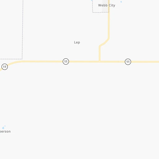
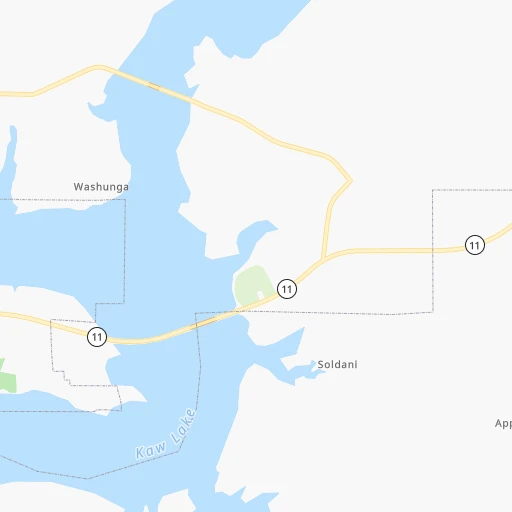
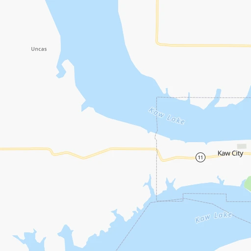
Roadmap (route) to go from Van Camp Airport to Emporia detailed above, you can also see the course layout on the map.
While doing trip Van Camp (airport) - Emporia by car, the calculated route ends at a distance , or more straight.
Distance and duration of the route between Van Camp (airport) and Emporia
Calculation of distance and route from Emporia to Van Camp (airport) :
184.8223.1 km3h1mn
Continue 0h1mn 265 mTurn left onto Cosden Avenue 0h30mn 37.8 kmTurn left onto US 166, KS 15 0h4mn 6.3 kmTurn right onto 243rd Drive 0h20mn 19.7 kmTurn right onto US 160 0h7mn 8.0 kmTurn left onto CR 4 & 5 0h0mn 61 mTurn right onto County Road 5 1h46mn 41.4 kmTurn left onto Atomic Veterans Memorial Highway 0h0mn 399 mTurn right onto Southeast Bluestem Road 0h12mn 14.5 kmTurn right onto US 54 0h2mn 2.9 kmTurn left onto KS 177 0h23mn 30.6 kmTurn right onto KTA Access Road 0h1mn 590 mTurn left 1h31mn 54.8 kmKeep right onto I 35 0h0mn 613 mKeep right 0h0mn 217 mKeep right 0h0mn 241 mKeep left 0h0mn 98 mAt roundabout, take exit 2 onto US 50 0h2mn 1.9 kmContinue onto West 6th Avenue 0h3mn 2.6 kmTurn right onto Merchant Street 0h0mn 134 mTurn right onto West 5th Avenue 0h0mn 18 mArrive at destination 0h0mn 0 m
Travel from Van Camp (airport) (Kansas) to a selection of major cities.
Distances from Van Camp Airport to biggest cities in Oklahoma
Other major cities in country :
- Charlotte [NC], 827,097 inhabitants. 1,434 km
- Seattle [WA], 684,451 inhabitants. 2,419 km
- Denver [CO], 682,545 inhabitants. 797 km
- El Paso [TX], 681,124 inhabitants. 1,062 km
- Detroit [MI], 677,116 inhabitants. 1,320 km
- Boston [MA], 667,137 inhabitants. 2,273 km
- Memphis [TN], 655,770 inhabitants. 623 km
- New South Memphis [TN], 641,608 inhabitants. 625 km
- Portland [OR], 632,309 inhabitants. 2,373 km
- Las Vegas [NV], 623,747 inhabitants. 1,652 km
- Baltimore [MD], 621,849 inhabitants. 1,777 km
- Washington, D.C. [DC], 601,723 inhabitants. 1,738 km
- Milwaukee [WI], 600,155 inhabitants. 1,021 km
- South Boston [MA], 571,281 inhabitants. 2,274 km
- Albuquerque [NM], 559,121 inhabitants. 919 km
- Tucson [AZ], 531,641 inhabitants. 1,402 km
- Nashville [TN], 530,852 inhabitants. 887 km
- Fresno [CA], 520,052 inhabitants. 2,055 km
- Sacramento [CA], 490,712 inhabitants. 2,190 km
- Kansas City [MO], 475,378 inhabitants. 316 km
Route from Emporia to major cities (United States).
- Distance Emporia New York City1,915 km
- Distance Emporia Los Angeles2,034 km
- Distance Emporia Chicago821 km
- Distance Emporia Brooklyn1,920 km
- Distance Emporia Houston965 km
- Distance Emporia Queens1,930 km
- Distance Emporia Philadelphia1,818 km
- Distance Emporia Phoenix1,533 km
- Distance Emporia Manhattan1,919 km
- Distance Emporia San Antonio1,022 km
- Distance Emporia San Diego1,998 km
- Distance Emporia The Bronx1,927 km
- Distance Emporia Dallas628 km
- Distance Emporia San Jose2,255 km
- Distance Emporia Austin917 km
- Distance Emporia Jacksonville1,606 km
- Distance Emporia San Francisco2,292 km
- Distance Emporia Columbus1,150 km
- Distance Emporia Fort Worth640 km
- Distance Emporia Indianapolis879 km
Nearest cities to Van Camp (airport) :
- Oklahoma City, 631,346 inhabitants. 165 km
- Kansas City, 475,378 inhabitants. 316 km
- Tulsa, 403,505 inhabitants. 93 km
- Wichita, 389,965 inhabitants. 117 km
- Overland Park, 186,515 inhabitants. 301 km
- Kansas City, 151,306 inhabitants. 315 km
- Olathe, 134,305 inhabitants. 284 km
- Topeka, 127,265 inhabitants. 266 km
- Norman, 120,284 inhabitants. 187 km
- Independence, 117,255 inhabitants. 324 km
- East Independence, 110,675 inhabitants. 328 km
- Broken Arrow, 106,563 inhabitants. 113 km
- Wichita Falls, 104,710 inhabitants. 360 km
- Lawton, 96,655 inhabitants. 288 km
- Lee's Summit, 95,094 inhabitants. 310 km
- Lawrence, 93,917 inhabitants. 274 km
- Edmond, 90,092 inhabitants. 146 km
- Fort Smith, 88,194 inhabitants. 257 km
- Fayetteville, 82,830 inhabitants. 239 km
- Springdale, 77,859 inhabitants. 237 km
- Saint Joseph, 76,780 inhabitants. 368 km
- Shawnee, 65,046 inhabitants. 304 km
- Rogers, 63,159 inhabitants. 233 km
- Moore, 60,451 inhabitants. 177 km
- Midwest City, 57,249 inhabitants. 163 km
- Manhattan, 56,308 inhabitants. 267 km
- Blue Springs, 54,148 inhabitants. 325 km
- Lenexa, 52,490 inhabitants. 295 km
- Joplin, 51,818 inhabitants. 194 km
- Enid, 51,776 inhabitants. 117 km
- Stillwater, 48,967 inhabitants. 82 km
- Salina, 47,813 inhabitants. 243 km
- Bentonville, 44,499 inhabitants. 225 km
- Hutchinson, 41,569 inhabitants. 181 km
- Muskogee, 38,456 inhabitants. 164 km
- Bartlesville, 36,595 inhabitants. 61 km
- Leavenworth, 35,980 inhabitants. 320 km
- Leawood, 34,579 inhabitants. 302 km
- Owasso, 34,542 inhabitants. 93 km
- Shawnee, 31,286 inhabitants. 164 km
- Liberty, 30,450 inhabitants. 337 km
- Raytown, 29,401 inhabitants. 314 km
- Bella Vista, 27,999 inhabitants. 217 km
- Gladstone, 26,861 inhabitants. 327 km
- Yukon, 25,892 inhabitants. 173 km
- Grandview, 25,256 inhabitants. 300 km
- Ardmore, 25,176 inhabitants. 294 km
- Ponca City, 24,758 inhabitants. 38 km
- Bixby, 24,657 inhabitants. 117 km
- Emporia, 24,649 inhabitants. 185 km
Location Van Camp (airport) (Oklahoma) :
| Country flag |  |
| Location | Van Camp (airport) |
| State | Oklahoma |
| County | Osage County |
| Country | United States |
| Country code / ISO 2 | US |
| Latitude | 36.7864300 |
| Longitude | -96.6672500 |
| Altitude | 352 meters |
| Time zone | America/Chicago |
Location Emporia (Kansas) :
| Country flag | |
| Location | Emporia |
| State | Kansas |
| County | Lyon County |
| Country | United States |
| Country code / ISO 2 | US |
| Latitude | 38.4039000 |
| Longitude | -96.1816600 |
| Altitude | 348 meters |
| Time zone | America/Chicago |


