
How to get from Shawnee Regional (airport) (Oklahoma) to McAlester (Oklahoma)
Calculate route from Shawnee Regional (airport) (Oklahoma, United States) to McAlester (Oklahoma, United States).
The flight distance (as the crow flies) between Shawnee Regional (airport) and McAlester is 116.3 km.
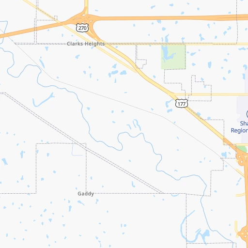
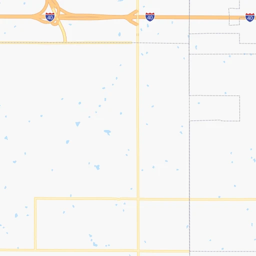
Roadmap (route) to go from Shawnee Regional Airport to McAlester detailed above, you can also see the course layout on the map.
While doing trip Shawnee Regional (airport) - McAlester by car, the calculated route ends at a distance , or more straight.
Distance and duration of the route between Shawnee Regional (airport) and McAlester
Calculation of distance and route from McAlester to Shawnee Regional (airport) :
116.3138.1 km2h45mn
Continue 0h0mn 78 mContinue onto Fred Reese Drive 0h0mn 105 mTurn right onto Airport Drive 0h2mn 1.4 kmTurn left onto Kickapoo Spur 0h0mn 398 mTurn right onto North Kickapoo Street 0h1mn 719 mTurn left onto West Wallace Street 0h2mn 1.6 kmTurn right onto North Harrison Street 0h1mn 661 mTurn left onto East Highland Street 1h34mn 41.6 kmKeep right onto US 270 0h0mn 494 mContinue onto US 270 0h22mn 29.2 kmKeep right onto US 270 and take US 75 South, US 270 East toward Coalgate, Calvin 0h0mn 51 mTurn slight right onto US 75, US 270 and take US 75 South, US 270 East toward Coalgate, Calvin 0h9mn 13.8 kmTurn sharp left and take OK 1, US 270 East toward Calvin, Ada, McAlester 0h0mn 287 mKeep right onto US 270 and take OK 1 East, US 270 East toward Ada, McAlester 0h0mn 48 mTurn slight right onto US 270, OK 1 1h33mn 47.6 kmTurn sharp left onto North Main Street 0h0mn 15 mArrive at destination 0h0mn 0 m
Travel from Shawnee Regional (airport) (Oklahoma) to a selection of major cities.
Distances from Shawnee Regional Airport to biggest cities in Oklahoma
Other major cities in country :
- Charlotte [NC], 827,097 inhabitants. 1,461 km
- Seattle [WA], 684,451 inhabitants. 2,501 km
- Denver [CO], 682,545 inhabitants. 861 km
- El Paso [TX], 681,124 inhabitants. 971 km
- Detroit [MI], 677,116 inhabitants. 1,430 km
- Boston [MA], 667,137 inhabitants. 2,364 km
- Memphis [TN], 655,770 inhabitants. 627 km
- New South Memphis [TN], 641,608 inhabitants. 627 km
- Portland [OR], 632,309 inhabitants. 2,442 km
- Las Vegas [NV], 623,747 inhabitants. 1,644 km
- Baltimore [MD], 621,849 inhabitants. 1,848 km
- Washington, D.C. [DC], 601,723 inhabitants. 1,806 km
- Milwaukee [WI], 600,155 inhabitants. 1,156 km
- South Boston [MA], 571,281 inhabitants. 2,364 km
- Albuquerque [NM], 559,121 inhabitants. 883 km
- Tucson [AZ], 531,641 inhabitants. 1,339 km
- Nashville [TN], 530,852 inhabitants. 921 km
- Fresno [CA], 520,052 inhabitants. 2,056 km
- Sacramento [CA], 490,712 inhabitants. 2,206 km
- Kansas City [MO], 475,378 inhabitants. 466 km
Route from McAlester to major cities (United States).
- Distance McAlester New York City2,013 km
- Distance McAlester Los Angeles2,060 km
- Distance McAlester Chicago1,045 km
- Distance McAlester Brooklyn2,016 km
- Distance McAlester Houston577 km
- Distance McAlester Queens2,026 km
- Distance McAlester Philadelphia1,900 km
- Distance McAlester Phoenix1,509 km
- Distance McAlester Manhattan2,018 km
- Distance McAlester San Antonio665 km
- Distance McAlester San Diego1,990 km
- Distance McAlester The Bronx2,027 km
- Distance McAlester Dallas258 km
- Distance McAlester San Jose2,356 km
- Distance McAlester Austin551 km
- Distance McAlester Jacksonville1,417 km
- Distance McAlester San Francisco2,402 km
- Distance McAlester Columbus1,258 km
- Distance McAlester Fort Worth285 km
- Distance McAlester Indianapolis1,006 km
Nearest cities to Shawnee Regional (airport) :
- Dallas, 1,300,092 inhabitants. 287 km
- Fort Worth, 833,319 inhabitants. 295 km
- Oklahoma City, 631,346 inhabitants. 54 km
- Tulsa, 403,505 inhabitants. 123 km
- Wichita, 389,965 inhabitants. 262 km
- Arlington, 388,125 inhabitants. 292 km
- Plano, 283,558 inhabitants. 261 km
- Garland, 236,897 inhabitants. 273 km
- Irving, 236,607 inhabitants. 283 km
- Grand Prairie, 187,809 inhabitants. 291 km
- McKinney, 162,898 inhabitants. 242 km
- Frisco, 154,407 inhabitants. 246 km
- Mesquite, 144,788 inhabitants. 290 km
- Carrollton, 133,168 inhabitants. 268 km
- Denton, 131,044 inhabitants. 239 km
- Abilene, 121,721 inhabitants. 414 km
- Norman, 120,284 inhabitants. 48 km
- Richardson, 110,815 inhabitants. 269 km
- Broken Arrow, 106,563 inhabitants. 130 km
- Wichita Falls, 104,710 inhabitants. 215 km
- Lewisville, 104,039 inhabitants. 257 km
- Allen, 98,143 inhabitants. 252 km
- Lawton, 96,655 inhabitants. 156 km
- Edmond, 90,092 inhabitants. 59 km
- Fort Smith, 88,194 inhabitants. 231 km
- Fayetteville, 82,830 inhabitants. 264 km
- Longview, 82,287 inhabitants. 377 km
- Springdale, 77,859 inhabitants. 270 km
- Flower Mound, 71,253 inhabitants. 261 km
- North Richland Hills, 69,204 inhabitants. 282 km
- Mansfield, 64,274 inhabitants. 312 km
- Rogers, 63,159 inhabitants. 277 km
- Moore, 60,451 inhabitants. 50 km
- Rowlett, 60,236 inhabitants. 275 km
- Midwest City, 57,249 inhabitants. 43 km
- Euless, 54,219 inhabitants. 281 km
- DeSoto, 52,486 inhabitants. 308 km
- Joplin, 51,818 inhabitants. 291 km
- Enid, 51,776 inhabitants. 143 km
- Grapevine, 51,404 inhabitants. 270 km
- Bedford, 49,337 inhabitants. 280 km
- Stillwater, 48,967 inhabitants. 85 km
- Cedar Hill, 48,507 inhabitants. 308 km
- Wylie, 46,708 inhabitants. 263 km
- Keller, 45,758 inhabitants. 271 km
- Bentonville, 44,499 inhabitants. 271 km
- Haltom City, 44,206 inhabitants. 286 km
- Burleson, 43,625 inhabitants. 315 km
- Rockwall, 42,566 inhabitants. 274 km
- The Colony, 41,779 inhabitants. 252 km
Location Shawnee Regional (airport) (Oklahoma) :
| Country flag |  |
| Location | Shawnee Regional (airport) |
| State | Oklahoma |
| County | Pottawatomie County |
| Country | United States |
| Country code / ISO 2 | US |
| Latitude | 35.3566800 |
| Longitude | -96.9404800 |
| Altitude | 324 meters |
| Time zone | America/Chicago |
Location McAlester (Oklahoma) :
| Country flag | |
| Location | McAlester |
| State | Oklahoma |
| County | Pittsburg County |
| Country | United States |
| Country code / ISO 2 | US |
| Latitude | 34.9334300 |
| Longitude | -95.7697100 |
| Altitude | 224 meters |
| Time zone | America/Chicago |


