
How to get from Tetele Stacija (Ozolnieku) to Ventspils (Ventspils)
Calculate route from Tetele Stacija (Ozolnieku, Latvia) to Ventspils (Ventspils, Latvia).
The flight distance (as the crow flies) between Tetele Stacija and Ventspils is 159.5 km.
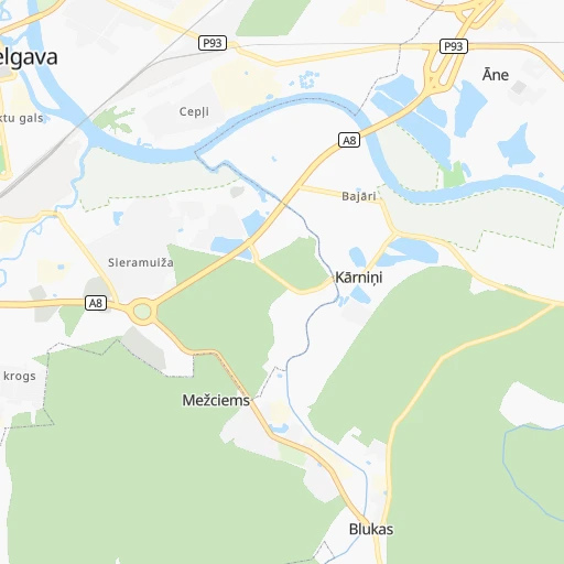
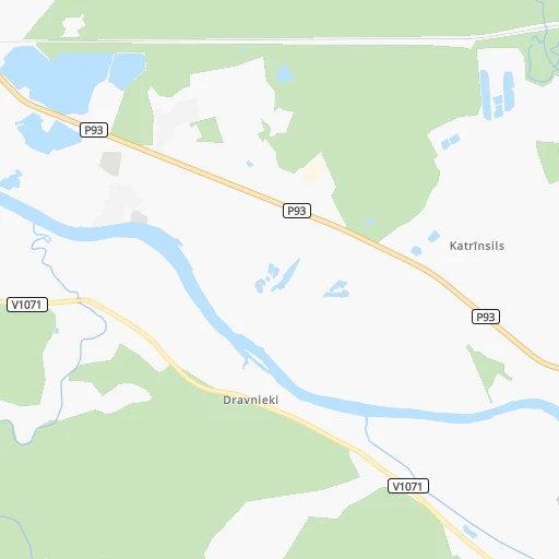
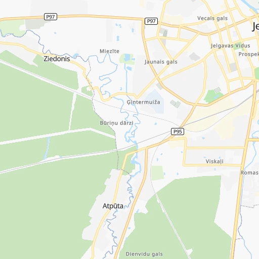
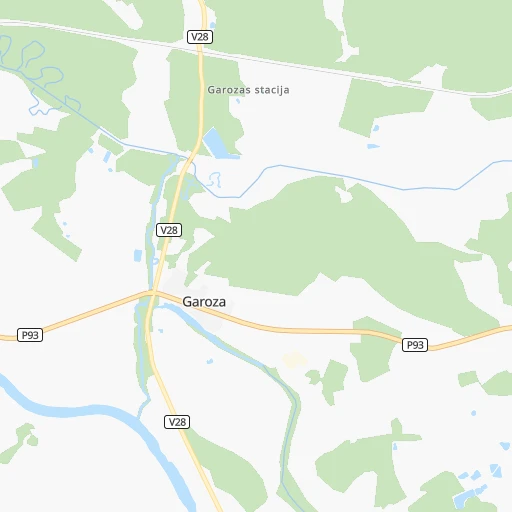
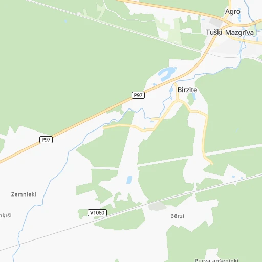
Roadmap (route) to go from Tetele Stacija to Ventspils detailed above, you can also see the course layout on the map.
While doing trip Tetele Stacija - Ventspils by car, the calculated route ends at a distance , or more straight.
Distance and duration of the route between Tetele Stacija and Ventspils
Calculation of distance and route from Ventspils to Tetele Stacija :
159.5183.8 km3h33mn
Continue 0h1mn 459 mTurn right onto Jelgava — Iecava 0h6mn 5.9 kmTurn left onto Rīgas iela 0h8mn 7.1 kmAt roundabout, take exit 2 onto Jelgava (Tušķi) — Tukums 0h22mn 23.9 kmKeep left 0h18mn 20.1 kmAt roundabout, take exit 3 0h4mn 5.6 kmAt roundabout, take exit 2 onto Rīga — Ventspils 1h28mn 115.6 kmAt roundabout, take exit 1 onto Kurzemes iela 0h2mn 2.6 kmTurn sharp right onto Embūtes iela 0h1mn 1.2 kmKeep right 0h0mn 85 mTurn slight right onto Ventas tilts 0h0mn 326 mKeep right 0h0mn 116 mTurn slight right onto Lielais prospekts 0h1mn 699 mTurn right onto Brīvības iela 0h0mn 152 mTurn left onto Jūras iela 0h0mn 36 mTurn left 0h1mn 141 mArrive at destination 0h0mn 0 m
Travel from Tetele Stacija (Ventspils) to a selection of major cities.
Distances from Tetele Stacija to biggest cities in Ozolnieku
Other major cities in country :
Route from Ventspils to major cities (Latvia).
Nearest cities to Tetele Stacija :
- Riga, 742,572 inhabitants. 37 km
- Daugavpils, 111,564 inhabitants. 187 km
- Liepaja, 85,132 inhabitants. 173 km
- Jelgava, 61,791 inhabitants. 7 km
- Jurmala, 54,088 inhabitants. 36 km
- Ventspils, 42,644 inhabitants. 160 km
- Jekabpils, 27,078 inhabitants. 125 km
- Valmiera, 26,963 inhabitants. 138 km
- Ogre, 26,760 inhabitants. 51 km
- Tukums, 18,348 inhabitants. 54 km
- Cesis, 18,198 inhabitants. 114 km
- Salaspils, 17,606 inhabitants. 40 km
- Bolderaja, 14,771 inhabitants. 45 km
- Kuldiga, 13,289 inhabitants. 120 km
- Olaine, 12,584 inhabitants. 17 km
- Saldus, 12,224 inhabitants. 82 km
- Talsi, 12,022 inhabitants. 101 km
- Dobele, 11,225 inhabitants. 34 km
- Bauska, 10,532 inhabitants. 35 km
- Sigulda, 10,422 inhabitants. 84 km
- Livani, 10,073 inhabitants. 148 km
- Daugavgriva, 9,952 inhabitants. 45 km
- Gulbene, 9,355 inhabitants. 187 km
- Madona, 9,280 inhabitants. 147 km
- Limbazi, 8,974 inhabitants. 110 km
- Aizkraukle, 8,840 inhabitants. 87 km
- Preili, 8,656 inhabitants. 182 km
- Karosta, 7,500 inhabitants. 173 km
- Krustpils, 6,680 inhabitants. 125 km
- Valka, 6,589 inhabitants. 181 km
- Smiltene, 6,108 inhabitants. 152 km
- Aizpute, 5,634 inhabitants. 137 km
- Lielvarde, 5,114 inhabitants. 60 km
- Kekava, 4,600 inhabitants. 31 km
- Mezaparks, 4,500 inhabitants. 44 km
- Grobina, 4,203 inhabitants. 164 km
- Vangazi, 4,020 inhabitants. 66 km
- Iecava, 4,000 inhabitants. 24 km
- Balozi, 3,854 inhabitants. 31 km
- Plavinas, 3,848 inhabitants. 116 km
- Rujiena, 3,638 inhabitants. 166 km
- Kandava, 3,592 inhabitants. 78 km
- Broceni, 3,486 inhabitants. 77 km
- Salacgriva, 3,427 inhabitants. 127 km
- Ozolnieki, 3,400 inhabitants. 5 km
- Ikskile, 3,368 inhabitants. 45 km
- Saulkrasti, 3,184 inhabitants. 77 km
- Auce, 3,125 inhabitants. 61 km
- Pinki, 3,033 inhabitants. 33 km
Location Tetele Stacija (Ozolnieku) :
| Country flag |  |
| Location | Tetele Stacija |
| State | Ozolnieku |
| County | Cenu pagasts |
| Country | Latvia |
| Country code / ISO 2 | LV |
| Latitude | 56.6500000 |
| Longitude | 23.8333300 |
| Altitude | 0 meters |
| Time zone | Europe/Riga |
Location Ventspils (Ventspils) :
| Country flag | |
| Location | Ventspils |
| State | Ventspils |
| County | Ventspils |
| Country | Latvia |
| Country code / ISO 2 | LV |
| Latitude | 57.3898800 |
| Longitude | 21.5728800 |
| Altitude | 0 meters |
| Time zone | Europe/Riga |


