

How to get from Mills Flying M Ranch (airport) (Oklahoma) to Muskogee (Oklahoma)
Calculate route from Mills Flying M Ranch (airport) (Oklahoma, United States) to Muskogee (Oklahoma, United States).
The flight distance (as the crow flies) between Mills Flying M Ranch (airport) and Muskogee is 87.0 km.
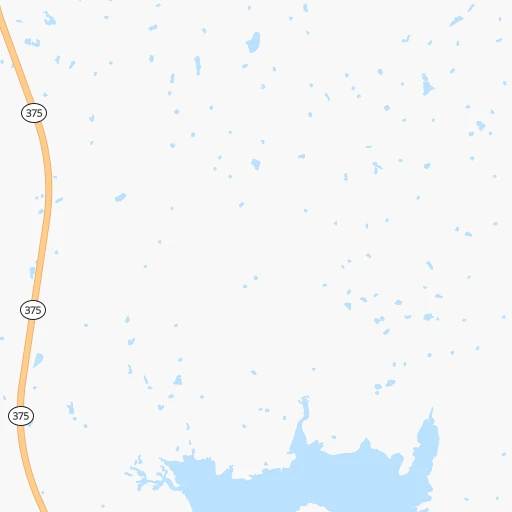
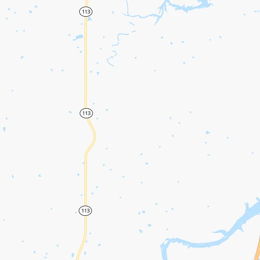
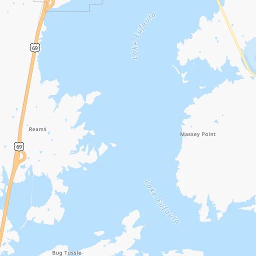
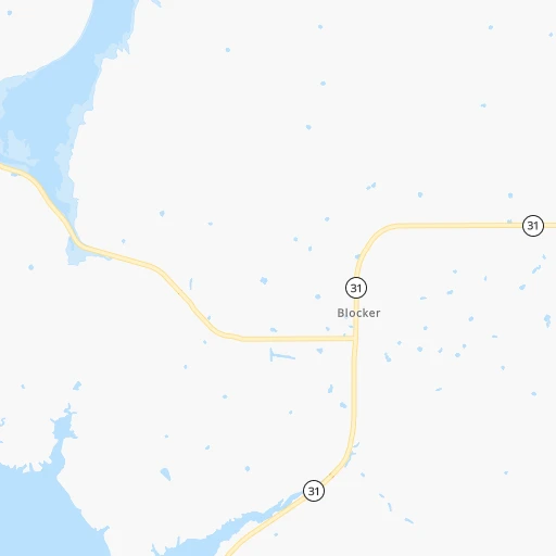
Roadmap (route) to go from Mills Flying M Ranch Airport to Muskogee detailed above, you can also see the course layout on the map.
While doing trip Mills Flying M Ranch (airport) - Muskogee by car, the calculated route ends at a distance , or more straight.
Distance and duration of the route between Mills Flying M Ranch (airport) and Muskogee
Calculation of distance and route from Muskogee to Mills Flying M Ranch (airport) :
87.0102.2 km1h23mn
Continue onto Mills Boulevard 0h1mn 345 mTurn right onto Mills Boulevard 0h3mn 1.3 kmTurn left onto Lake Road 0h6mn 2.8 kmTurn sharp left onto D1360 Road 0h7mn 3.6 kmTurn sharp left onto OK 113 0h1mn 1.4 kmTurn right onto Shady Grove Road 0h12mn 6.2 kmTurn left 1h49mn 82.2 kmTurn right onto West Hancock Road 0h2mn 1.7 kmTurn left onto US 64 Business 0h3mn 2.8 kmTurn left onto West Okmulgee Avenue 0h0mn 24 mArrive at destination 0h0mn 0 m
Travel from Mills Flying M Ranch (airport) (Oklahoma) to a selection of major cities.
Distances from Mills Flying M Ranch Airport to biggest cities in Oklahoma
Other major cities in country :
- Charlotte [NC], 827,097 inhabitants. 1,362 km
- Seattle [WA], 684,451 inhabitants. 2,600 km
- Denver [CO], 682,545 inhabitants. 963 km
- El Paso [TX], 681,124 inhabitants. 1,056 km
- Detroit [MI], 677,116 inhabitants. 1,372 km
- Boston [MA], 667,137 inhabitants. 2,289 km
- Memphis [TN], 655,770 inhabitants. 526 km
- New South Memphis [TN], 641,608 inhabitants. 525 km
- Portland [OR], 632,309 inhabitants. 2,544 km
- Las Vegas [NV], 623,747 inhabitants. 1,750 km
- Baltimore [MD], 621,849 inhabitants. 1,764 km
- Washington, D.C. [DC], 601,723 inhabitants. 1,721 km
- Milwaukee [WI], 600,155 inhabitants. 1,120 km
- South Boston [MA], 571,281 inhabitants. 2,289 km
- Albuquerque [NM], 559,121 inhabitants. 986 km
- Tucson [AZ], 531,641 inhabitants. 1,434 km
- Nashville [TN], 530,852 inhabitants. 827 km
- Fresno [CA], 520,052 inhabitants. 2,162 km
- Sacramento [CA], 490,712 inhabitants. 2,313 km
- Kansas City [MO], 475,378 inhabitants. 463 km
Route from Muskogee to major cities (United States).
- Distance Muskogee New York City1,943 km
- Distance Muskogee Los Angeles2,092 km
- Distance Muskogee Chicago953 km
- Distance Muskogee Brooklyn1,946 km
- Distance Muskogee Houston666 km
- Distance Muskogee Queens1,956 km
- Distance Muskogee Philadelphia1,832 km
- Distance Muskogee Phoenix1,550 km
- Distance Muskogee Manhattan1,947 km
- Distance Muskogee San Antonio762 km
- Distance Muskogee San Diego2,030 km
- Distance Muskogee The Bronx1,957 km
- Distance Muskogee Dallas356 km
- Distance Muskogee San Jose2,371 km
- Distance Muskogee Austin649 km
- Distance Muskogee Jacksonville1,413 km
- Distance Muskogee San Francisco2,414 km
- Distance Muskogee Columbus1,183 km
- Distance Muskogee Fort Worth381 km
- Distance Muskogee Indianapolis925 km
Nearest cities to Mills Flying M Ranch (airport) :
- Dallas, 1,300,092 inhabitants. 269 km
- Fort Worth, 833,319 inhabitants. 294 km
- Oklahoma City, 631,346 inhabitants. 161 km
- Tulsa, 403,505 inhabitants. 123 km
- Wichita, 389,965 inhabitants. 323 km
- Arlington, 388,125 inhabitants. 284 km
- Plano, 283,558 inhabitants. 241 km
- Garland, 236,897 inhabitants. 250 km
- Irving, 236,607 inhabitants. 271 km
- Shreveport, 197,204 inhabitants. 341 km
- Grand Prairie, 187,809 inhabitants. 279 km
- Springfield, 166,810 inhabitants. 330 km
- McKinney, 162,898 inhabitants. 220 km
- Frisco, 154,407 inhabitants. 231 km
- Mesquite, 144,788 inhabitants. 265 km
- Carrollton, 133,168 inhabitants. 254 km
- Denton, 131,044 inhabitants. 238 km
- Norman, 120,284 inhabitants. 148 km
- Richardson, 110,815 inhabitants. 249 km
- Broken Arrow, 106,563 inhabitants. 111 km
- Wichita Falls, 104,710 inhabitants. 276 km
- Lewisville, 104,039 inhabitants. 249 km
- Tyler, 103,700 inhabitants. 305 km
- Allen, 98,143 inhabitants. 231 km
- Lawton, 96,655 inhabitants. 240 km
- Edmond, 90,092 inhabitants. 164 km
- Fort Smith, 88,194 inhabitants. 134 km
- Fayetteville, 82,830 inhabitants. 188 km
- Longview, 82,287 inhabitants. 302 km
- Springdale, 77,859 inhabitants. 198 km
- Flower Mound, 71,253 inhabitants. 256 km
- North Richland Hills, 69,204 inhabitants. 279 km
- Bossier City, 68,094 inhabitants. 343 km
- Mansfield, 64,274 inhabitants. 303 km
- Rogers, 63,159 inhabitants. 209 km
- Moore, 60,451 inhabitants. 155 km
- Rowlett, 60,236 inhabitants. 249 km
- Midwest City, 57,249 inhabitants. 150 km
- Euless, 54,219 inhabitants. 273 km
- DeSoto, 52,486 inhabitants. 291 km
- Joplin, 51,818 inhabitants. 255 km
- Enid, 51,776 inhabitants. 238 km
- Grapevine, 51,404 inhabitants. 263 km
- Bedford, 49,337 inhabitants. 275 km
- Stillwater, 48,967 inhabitants. 163 km
- Cedar Hill, 48,507 inhabitants. 294 km
- Wylie, 46,708 inhabitants. 237 km
- Keller, 45,758 inhabitants. 271 km
- Bentonville, 44,499 inhabitants. 207 km
- Haltom City, 44,206 inhabitants. 285 km
Location Mills Flying M Ranch (airport) (Oklahoma) :
| Country flag |  |
| Location | Mills Flying M Ranch (airport) |
| State | Oklahoma |
| County | Pittsburg County |
| Country | United States |
| Country code / ISO 2 | US |
| Latitude | 35.0567600 |
| Longitude | -95.8213800 |
| Altitude | 235 meters |
| Time zone | America/Chicago |
Location Muskogee (Oklahoma) :
| Country flag | |
| Location | Muskogee |
| State | Oklahoma |
| County | Muskogee County |
| Country | United States |
| Country code / ISO 2 | US |
| Latitude | 35.7478800 |
| Longitude | -95.3696900 |
| Altitude | 184 meters |
| Time zone | America/Chicago |


