
How to get from McAlester Regional (airport) (Oklahoma) to Owasso (Oklahoma)
Calculate route from McAlester Regional (airport) (Oklahoma, United States) to Owasso (Oklahoma, United States).
The flight distance (as the crow flies) between McAlester Regional (airport) and Owasso is 154.0 km.
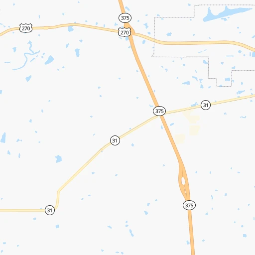
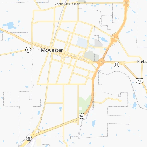
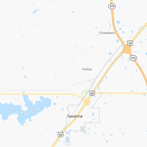
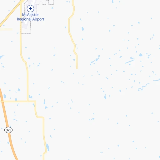
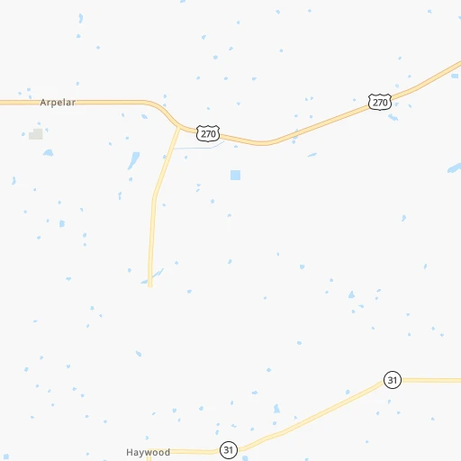
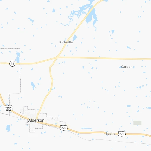
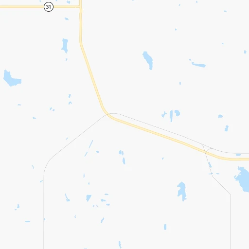
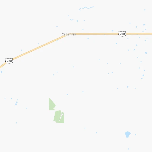
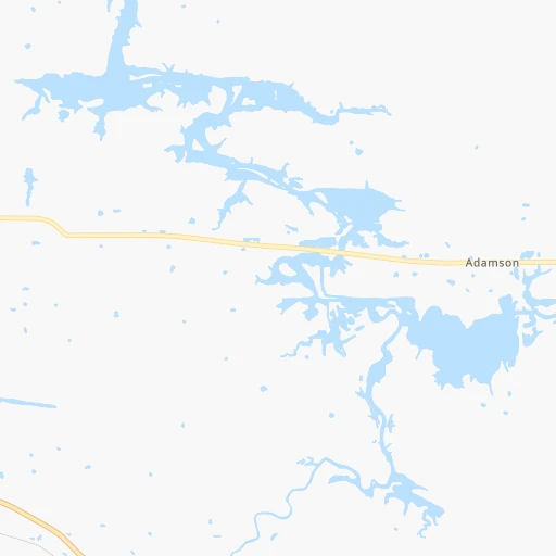
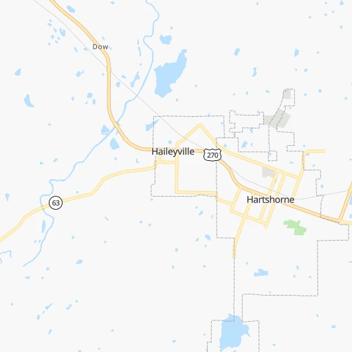
Roadmap (route) to go from McAlester Regional Airport to Owasso detailed above, you can also see the course layout on the map.
While doing trip McAlester Regional (airport) - Owasso by car, the calculated route ends at a distance , or more straight.
Distance and duration of the route between McAlester Regional (airport) and Owasso
Calculation of distance and route from Owasso to McAlester Regional (airport) :
154.0175.8 km2h53mn
Continue onto Airport Road 0h1mn 391 mTurn left onto US 69 0h2mn 3.2 kmKeep right 1h36mn 67.1 kmKeep left onto I 40 Business, US 62, US 75 and take US 62 East, US 75 North, I 40 Business West toward Henryetta, Okmulgee 1h52mn 73.8 kmKeep right and take I 44 East, OK 66 East toward Joplin, Claremore 0h1mn 978 mKeep left and take I 44 East, OK 66 East toward Joplin 0h10mn 13.8 kmKeep right and take US 169 North toward Owasso 0h0mn 774 mKeep right and take US 169 North toward Owasso 0h9mn 14.1 kmKeep right 0h0mn 225 mKeep left 0h0mn 106 mTurn left onto East 76th Street North 0h1mn 684 mTurn right onto South Main Street 0h1mn 611 mArrive at destination 0h0mn 0 m
Travel from McAlester Regional (airport) (Oklahoma) to a selection of major cities.
Distances from McAlester Regional Airport to biggest cities in Oklahoma
Other major cities in country :
- Charlotte [NC], 827,097 inhabitants. 1,361 km
- Seattle [WA], 684,451 inhabitants. 2,615 km
- Denver [CO], 682,545 inhabitants. 977 km
- El Paso [TX], 681,124 inhabitants. 1,054 km
- Detroit [MI], 677,116 inhabitants. 1,381 km
- Boston [MA], 667,137 inhabitants. 2,295 km
- Memphis [TN], 655,770 inhabitants. 524 km
- New South Memphis [TN], 641,608 inhabitants. 523 km
- Portland [OR], 632,309 inhabitants. 2,558 km
- Las Vegas [NV], 623,747 inhabitants. 1,756 km
- Baltimore [MD], 621,849 inhabitants. 1,768 km
- Washington, D.C. [DC], 601,723 inhabitants. 1,724 km
- Milwaukee [WI], 600,155 inhabitants. 1,134 km
- South Boston [MA], 571,281 inhabitants. 2,296 km
- Albuquerque [NM], 559,121 inhabitants. 991 km
- Tucson [AZ], 531,641 inhabitants. 1,434 km
- Nashville [TN], 530,852 inhabitants. 827 km
- Fresno [CA], 520,052 inhabitants. 2,170 km
- Sacramento [CA], 490,712 inhabitants. 2,322 km
- Kansas City [MO], 475,378 inhabitants. 481 km
Route from Owasso to major cities (United States).
- Distance Owasso New York City1,961 km
- Distance Owasso Los Angeles2,048 km
- Distance Owasso Chicago942 km
- Distance Owasso Brooklyn1,965 km
- Distance Owasso Houston726 km
- Distance Owasso Queens1,975 km
- Distance Owasso Philadelphia1,854 km
- Distance Owasso Phoenix1,513 km
- Distance Owasso Manhattan1,966 km
- Distance Owasso San Antonio801 km
- Distance Owasso San Diego1,990 km
- Distance Owasso The Bronx1,975 km
- Distance Owasso Dallas398 km
- Distance Owasso San Jose2,317 km
- Distance Owasso Austin691 km
- Distance Owasso Jacksonville1,475 km
- Distance Owasso San Francisco2,359 km
- Distance Owasso Columbus1,197 km
- Distance Owasso Fort Worth417 km
- Distance Owasso Indianapolis935 km
Nearest cities to McAlester Regional (airport) :
- Dallas, 1,300,092 inhabitants. 252 km
- Fort Worth, 833,319 inhabitants. 279 km
- Oklahoma City, 631,346 inhabitants. 170 km
- Tulsa, 403,505 inhabitants. 143 km
- Wichita, 389,965 inhabitants. 342 km
- Arlington, 388,125 inhabitants. 269 km
- Plano, 283,558 inhabitants. 224 km
- Garland, 236,897 inhabitants. 233 km
- Irving, 236,607 inhabitants. 254 km
- Shreveport, 197,204 inhabitants. 323 km
- Grand Prairie, 187,809 inhabitants. 263 km
- Springfield, 166,810 inhabitants. 343 km
- McKinney, 162,898 inhabitants. 203 km
- Frisco, 154,407 inhabitants. 216 km
- Mesquite, 144,788 inhabitants. 248 km
- Carrollton, 133,168 inhabitants. 238 km
- Denton, 131,044 inhabitants. 224 km
- Norman, 120,284 inhabitants. 155 km
- Richardson, 110,815 inhabitants. 233 km
- Broken Arrow, 106,563 inhabitants. 130 km
- Wichita Falls, 104,710 inhabitants. 271 km
- Lewisville, 104,039 inhabitants. 233 km
- Tyler, 103,700 inhabitants. 286 km
- Allen, 98,143 inhabitants. 215 km
- Lawton, 96,655 inhabitants. 240 km
- Edmond, 90,092 inhabitants. 176 km
- Fort Smith, 88,194 inhabitants. 138 km
- Fayetteville, 82,830 inhabitants. 197 km
- Longview, 82,287 inhabitants. 282 km
- Springdale, 77,859 inhabitants. 209 km
- Flower Mound, 71,253 inhabitants. 241 km
- North Richland Hills, 69,204 inhabitants. 264 km
- Bossier City, 68,094 inhabitants. 325 km
- Mansfield, 64,274 inhabitants. 287 km
- Rogers, 63,159 inhabitants. 221 km
- Moore, 60,451 inhabitants. 163 km
- Rowlett, 60,236 inhabitants. 232 km
- Midwest City, 57,249 inhabitants. 160 km
- Euless, 54,219 inhabitants. 258 km
- DeSoto, 52,486 inhabitants. 274 km
- Joplin, 51,818 inhabitants. 270 km
- Enid, 51,776 inhabitants. 253 km
- Grapevine, 51,404 inhabitants. 248 km
- Bedford, 49,337 inhabitants. 260 km
- Stillwater, 48,967 inhabitants. 179 km
- Cedar Hill, 48,507 inhabitants. 278 km
- Wylie, 46,708 inhabitants. 220 km
- Keller, 45,758 inhabitants. 256 km
- Bentonville, 44,499 inhabitants. 219 km
- Haltom City, 44,206 inhabitants. 270 km
Location McAlester Regional (airport) (Oklahoma) :
| Country flag |  |
| Location | McAlester Regional (airport) |
| State | Oklahoma |
| County | Pittsburg County |
| Country | United States |
| Country code / ISO 2 | US |
| Latitude | 34.8850500 |
| Longitude | -95.7843900 |
| Altitude | 232 meters |
| Time zone | America/Chicago |
Location Owasso (Oklahoma) :
| Country flag | |
| Location | Owasso |
| State | Oklahoma |
| County | Tulsa County |
| Country | United States |
| Country code / ISO 2 | US |
| Latitude | 36.2695400 |
| Longitude | -95.8547100 |
| Altitude | 186 meters |
| Time zone | America/Chicago |


