


How to get from Hankins (airport) (Oklahoma) to Fresno (California)
Calculate route from Hankins (airport) (Oklahoma, United States) to Fresno (California, United States).
The flight distance (as the crow flies) between Hankins (airport) and Fresno is 2,073.4 km.
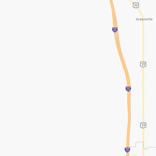
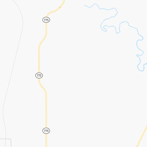
Roadmap (route) to go from Hankins Airport to Fresno detailed above, you can also see the course layout on the map.
While doing trip Hankins (airport) - Fresno by car, the calculated route ends at a distance , or more straight.
Distance and duration of the route between Hankins (airport) and Fresno
Calculation of distance and route from Fresno to Hankins (airport) :
2,073.42,416.6 km25h8mn
Continue 0h1mn 743 mTurn right onto Oil Springs Road 0h1mn 347 mTurn left 0h1mn 351 mContinue onto OK 77S 0h3mn 3.3 kmTurn right onto OK 32 0h4mn 3.3 kmKeep right 0h0mn 42 mTurn slight right onto US 77, OK 32 0h0mn 286 mTurn left onto Memorial Drive 0h1mn 1.1 kmContinue onto OK 32 0h25mn 34.3 kmTurn left onto OK 89 0h6mn 5.9 kmTurn right onto Farm to Market Road 2953 0h11mn 10.9 kmTurn left onto Farm to Market Road 2953 0h11mn 11.3 kmTurn left onto Farm to Market Road 103 0h9mn 9.2 kmTurn right onto United States Highway 82 1h49mn 79.4 kmKeep left onto Northwest Freeway and take US 287 North toward Vernon, Amarillo 1h48mn 73.5 kmKeep left onto Martin Luther King Jr Memorial Highway 0h14mn 24.3 kmContinue onto US 287 0h15mn 23.5 kmContinue onto East 11th Street 14h20mn 1,450.8 kmKeep right and drive toward Shinarump Drive, Oatman Highway 0h1mn 612 mTurn right onto Shinarump Road 0h0mn 492 mTurn left onto County Highway 10 1h47mn 40.5 kmKeep right onto Oatman Road 0h16mn 18.0 kmTurn left onto Mohave Valley Highway 0h11mn 13.7 kmTurn right onto Needles Highway 0h3mn 2.0 kmTurn left 2h17mn 232.5 kmKeep right and take CA 58 West toward Bakersfield 2h1mn 190.6 kmKeep right and take CA 184 toward Lamont, Morning Drive 0h0mn 509 mKeep right 0h1mn 566 mTurn left onto Edison Highway 0h5mn 6.3 kmKeep right onto Sumner Street 0h3mn 2.6 kmContinue onto Golden State Avenue 2h42mn 171.4 kmKeep right and take CA 41 North toward Yosemite 0h2mn 3.1 kmKeep right and drive toward Tulare Street 0h0mn 391 mTurn right onto East Tulare Avenue 0h0mn 338 mTurn left onto North 1st Street 0h1mn 507 mTurn right onto East Washington Avenue 0h0mn 9 mArrive at destination 0h0mn 0 m
Travel from Hankins (airport) (California) to a selection of major cities.
Distances from Hankins Airport to biggest cities in Oklahoma
Other major cities in country :
- Charlotte [NC], 827,097 inhabitants. 1,494 km
- Seattle [WA], 684,451 inhabitants. 2,594 km
- Denver [CO], 682,545 inhabitants. 951 km
- El Paso [TX], 681,124 inhabitants. 912 km
- Detroit [MI], 677,116 inhabitants. 1,538 km
- Boston [MA], 667,137 inhabitants. 2,449 km
- Memphis [TN], 655,770 inhabitants. 658 km
- New South Memphis [TN], 641,608 inhabitants. 657 km
- Portland [OR], 632,309 inhabitants. 2,523 km
- Las Vegas [NV], 623,747 inhabitants. 1,660 km
- Baltimore [MD], 621,849 inhabitants. 1,918 km
- Washington, D.C. [DC], 601,723 inhabitants. 1,873 km
- Milwaukee [WI], 600,155 inhabitants. 1,286 km
- South Boston [MA], 571,281 inhabitants. 2,450 km
- Albuquerque [NM], 559,121 inhabitants. 885 km
- Tucson [AZ], 531,641 inhabitants. 1,304 km
- Nashville [TN], 530,852 inhabitants. 969 km
- Fresno [CA], 520,052 inhabitants. 2,077 km
- Sacramento [CA], 490,712 inhabitants. 2,242 km
- Kansas City [MO], 475,378 inhabitants. 613 km
Route from Fresno to major cities (United States).
- Distance Fresno New York City3,954 km
- Distance Fresno Chicago2,808 km
- Distance Fresno Brooklyn3,960 km
- Distance Fresno Houston2,394 km
- Distance Fresno Queens3,969 km
- Distance Fresno Philadelphia3,870 km
- Distance Fresno Phoenix791 km
- Distance Fresno Manhattan3,956 km
- Distance Fresno San Antonio2,140 km
- Distance Fresno The Bronx3,963 km
- Distance Fresno Dallas2,141 km
- Distance Fresno Austin2,162 km
- Distance Fresno Jacksonville3,584 km
- Distance Fresno Columbus3,207 km
- Distance Fresno Fort Worth2,097 km
- Distance Fresno Indianapolis2,940 km
- Distance Fresno Charlotte3,486 km
- Distance Fresno Seattle1,227 km
- Distance Fresno Denver1,333 km
- Distance Fresno El Paso1,341 km
Nearest cities to Hankins (airport) :
- Dallas, 1,300,092 inhabitants. 136 km
- Fort Worth, 833,319 inhabitants. 141 km
- Oklahoma City, 631,346 inhabitants. 170 km
- Tulsa, 403,505 inhabitants. 262 km
- Arlington, 388,125 inhabitants. 138 km
- Plano, 283,558 inhabitants. 113 km
- Garland, 236,897 inhabitants. 126 km
- Irving, 236,607 inhabitants. 130 km
- Grand Prairie, 187,809 inhabitants. 137 km
- McKinney, 162,898 inhabitants. 97 km
- Frisco, 154,407 inhabitants. 95 km
- Mesquite, 144,788 inhabitants. 142 km
- Killeen, 140,806 inhabitants. 324 km
- Carrollton, 133,168 inhabitants. 115 km
- Waco, 132,356 inhabitants. 270 km
- Denton, 131,044 inhabitants. 85 km
- Abilene, 121,721 inhabitants. 299 km
- Norman, 120,284 inhabitants. 142 km
- Richardson, 110,815 inhabitants. 119 km
- Broken Arrow, 106,563 inhabitants. 260 km
- Wichita Falls, 104,710 inhabitants. 130 km
- Lewisville, 104,039 inhabitants. 104 km
- Tyler, 103,700 inhabitants. 246 km
- Allen, 98,143 inhabitants. 105 km
- Lawton, 96,655 inhabitants. 139 km
- Edmond, 90,092 inhabitants. 190 km
- Fort Smith, 88,194 inhabitants. 292 km
- Fayetteville, 82,830 inhabitants. 354 km
- Longview, 82,287 inhabitants. 274 km
- Springdale, 77,859 inhabitants. 365 km
- Temple, 72,277 inhabitants. 321 km
- Flower Mound, 71,253 inhabitants. 107 km
- North Richland Hills, 69,204 inhabitants. 128 km
- Mansfield, 64,274 inhabitants. 158 km
- Rogers, 63,159 inhabitants. 377 km
- Moore, 60,451 inhabitants. 156 km
- Rowlett, 60,236 inhabitants. 129 km
- Midwest City, 57,249 inhabitants. 166 km
- Euless, 54,219 inhabitants. 127 km
- DeSoto, 52,486 inhabitants. 156 km
- Enid, 51,776 inhabitants. 279 km
- Grapevine, 51,404 inhabitants. 116 km
- Bedford, 49,337 inhabitants. 126 km
- Stillwater, 48,967 inhabitants. 238 km
- Cedar Hill, 48,507 inhabitants. 155 km
- Wylie, 46,708 inhabitants. 119 km
- Keller, 45,758 inhabitants. 117 km
- Bentonville, 44,499 inhabitants. 374 km
- Haltom City, 44,206 inhabitants. 132 km
- Burleson, 43,625 inhabitants. 161 km
Location Hankins (airport) (Oklahoma) :
| Country flag |  |
| Location | Hankins (airport) |
| State | Oklahoma |
| County | Love County |
| Country | United States |
| Country code / ISO 2 | US |
| Latitude | 33.9774300 |
| Longitude | -97.0902600 |
| Altitude | 257 meters |
| Time zone | America/Chicago |
Location Fresno (California) :
| Country flag | |
| Location | Fresno |
| State | California |
| County | Fresno County |
| Country | United States |
| Country code / ISO 2 | US |
| Latitude | 36.7477300 |
| Longitude | -119.7723700 |
| Altitude | 94 meters |
| Time zone | America/Los_Angeles |


