
How to get from Cimarron Strip (Oklahoma) to Wichita (Kansas)
Calculate route from Cimarron Strip (Oklahoma, United States) to Wichita (Kansas, United States).
The flight distance (as the crow flies) between Cimarron Strip and Wichita is 181.6 km.
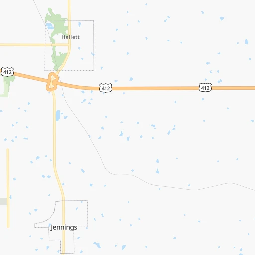
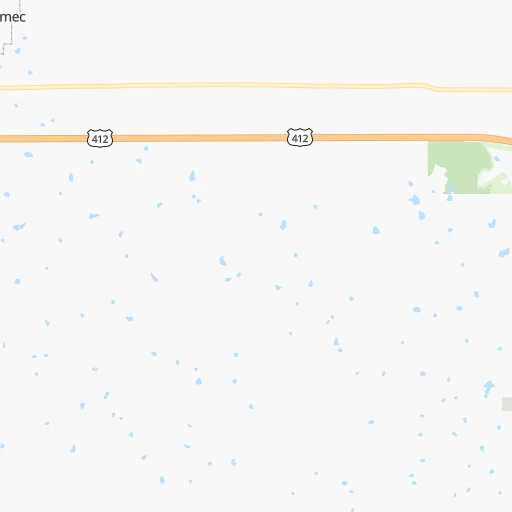
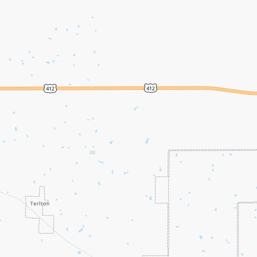
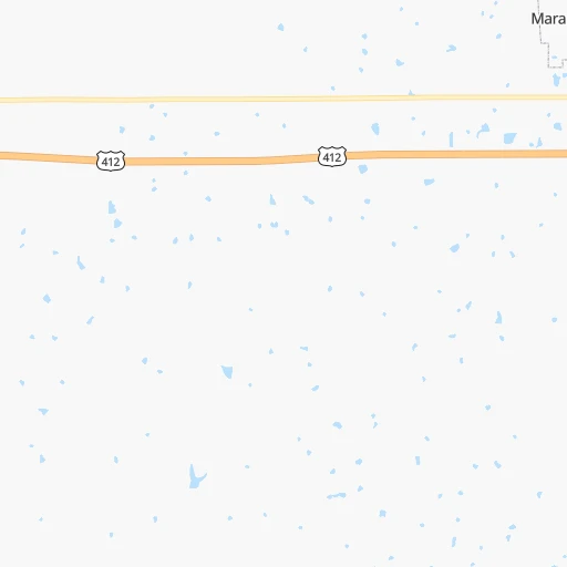
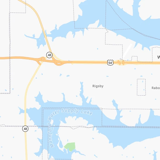
Roadmap (route) to go from Cimarron Strip to Wichita detailed above, you can also see the course layout on the map.
While doing trip Cimarron Strip - Wichita by car, the calculated route ends at a distance , or more straight.
Distance and duration of the route between Cimarron Strip and Wichita
Calculation of distance and route from Wichita to Cimarron Strip :
181.6231.1 km2h15mn
Continue 0h2mn 2.1 kmTurn right onto Oak Street 0h1mn 811 mTurn left onto 10th Street 0h0mn 123 mTurn right onto Veterans Memorial Highway 0h3mn 4.0 kmTurn right and take US 412 West toward Enid 1h43mn 77.8 kmKeep right and take I 35 North toward Wichita 1h15mn 134.3 kmKeep right and take I 135, I 235, US 81 toward South Wichita, Salina 0h2mn 2.0 kmKeep left and take I 235 toward Eisenhower National Airport 0h1mn 1.3 kmKeep right and drive toward MacArthur Road 0h0mn 252 mTurn right onto East MacArthur Road 0h0mn 359 mTurn left onto South Broadway Avenue 0h7mn 7.7 kmTurn left onto East 3rd Street North 0h0mn 113 mTurn right onto North Market Street 0h0mn 96 mTurn left 0h0mn 57 mArrive at destination 0h0mn 0 m
Travel from Cimarron Strip (Kansas) to a selection of major cities.
Distances from Cimarron Strip to biggest cities in Oklahoma
Other major cities in country :
- Charlotte [NC], 827,097 inhabitants. 1,422 km
- Seattle [WA], 684,451 inhabitants. 2,469 km
- Denver [CO], 682,545 inhabitants. 839 km
- El Paso [TX], 681,124 inhabitants. 1,041 km
- Detroit [MI], 677,116 inhabitants. 1,348 km
- Boston [MA], 667,137 inhabitants. 2,291 km
- Memphis [TN], 655,770 inhabitants. 599 km
- New South Memphis [TN], 641,608 inhabitants. 600 km
- Portland [OR], 632,309 inhabitants. 2,419 km
- Las Vegas [NV], 623,747 inhabitants. 1,668 km
- Baltimore [MD], 621,849 inhabitants. 1,785 km
- Washington, D.C. [DC], 601,723 inhabitants. 1,745 km
- Milwaukee [WI], 600,155 inhabitants. 1,062 km
- South Boston [MA], 571,281 inhabitants. 2,292 km
- Albuquerque [NM], 559,121 inhabitants. 922 km
- Tucson [AZ], 531,641 inhabitants. 1,394 km
- Nashville [TN], 530,852 inhabitants. 877 km
- Fresno [CA], 520,052 inhabitants. 2,075 km
- Sacramento [CA], 490,712 inhabitants. 2,216 km
- Kansas City [MO], 475,378 inhabitants. 368 km
Route from Wichita to major cities (United States).
- Distance Wichita New York City2,034 km
- Distance Wichita Los Angeles1,925 km
- Distance Wichita Chicago948 km
- Distance Wichita Brooklyn2,039 km
- Distance Wichita Houston901 km
- Distance Wichita Queens2,049 km
- Distance Wichita Philadelphia1,934 km
- Distance Wichita Phoenix1,414 km
- Distance Wichita Manhattan2,038 km
- Distance Wichita San Antonio927 km
- Distance Wichita San Diego1,882 km
- Distance Wichita The Bronx2,047 km
- Distance Wichita Dallas549 km
- Distance Wichita San Jose2,162 km
- Distance Wichita Austin827 km
- Distance Wichita Jacksonville1,660 km
- Distance Wichita San Francisco2,202 km
- Distance Wichita Columbus1,267 km
- Distance Wichita Fort Worth553 km
- Distance Wichita Indianapolis997 km
Nearest cities to Cimarron Strip :
- Oklahoma City, 631,346 inhabitants. 118 km
- Kansas City, 475,378 inhabitants. 368 km
- Tulsa, 403,505 inhabitants. 50 km
- Wichita, 389,965 inhabitants. 182 km
- Overland Park, 186,515 inhabitants. 353 km
- McKinney, 162,898 inhabitants. 333 km
- Kansas City, 151,306 inhabitants. 367 km
- Olathe, 134,305 inhabitants. 337 km
- Denton, 131,044 inhabitants. 335 km
- Topeka, 127,265 inhabitants. 328 km
- Norman, 120,284 inhabitants. 134 km
- Independence, 117,255 inhabitants. 374 km
- East Independence, 110,675 inhabitants. 377 km
- Broken Arrow, 106,563 inhabitants. 70 km
- Wichita Falls, 104,710 inhabitants. 309 km
- Lawton, 96,655 inhabitants. 242 km
- Lee's Summit, 95,094 inhabitants. 359 km
- Lawrence, 93,917 inhabitants. 331 km
- Edmond, 90,092 inhabitants. 103 km
- Fort Smith, 88,194 inhabitants. 213 km
- Fayetteville, 82,830 inhabitants. 215 km
- Springdale, 77,859 inhabitants. 217 km
- Shawnee, 65,046 inhabitants. 356 km
- Rogers, 63,159 inhabitants. 219 km
- Moore, 60,451 inhabitants. 127 km
- Midwest City, 57,249 inhabitants. 112 km
- Manhattan, 56,308 inhabitants. 334 km
- Blue Springs, 54,148 inhabitants. 373 km
- Lenexa, 52,490 inhabitants. 347 km
- Joplin, 51,818 inhabitants. 207 km
- Enid, 51,776 inhabitants. 122 km
- Stillwater, 48,967 inhabitants. 47 km
- Salina, 47,813 inhabitants. 310 km
- Bentonville, 44,499 inhabitants. 211 km
- Hutchinson, 41,569 inhabitants. 242 km
- Sherman, 40,667 inhabitants. 284 km
- Muskogee, 38,456 inhabitants. 117 km
- Texarkana, 37,280 inhabitants. 383 km
- Bartlesville, 36,595 inhabitants. 81 km
- Leawood, 34,579 inhabitants. 353 km
- Owasso, 34,542 inhabitants. 63 km
- Shawnee, 31,286 inhabitants. 101 km
- Texarkana, 30,353 inhabitants. 382 km
- Raytown, 29,401 inhabitants. 364 km
- Bella Vista, 27,999 inhabitants. 207 km
- Yukon, 25,892 inhabitants. 133 km
- Grandview, 25,256 inhabitants. 349 km
- Ardmore, 25,176 inhabitants. 230 km
- Paris, 24,782 inhabitants. 295 km
- Ponca City, 24,758 inhabitants. 75 km
Location Cimarron Strip (Oklahoma) :
| Country flag |  |
| Location | Cimarron Strip |
| State | Oklahoma |
| County | Pawnee County |
| Country | United States |
| Country code / ISO 2 | US |
| Latitude | 36.1852600 |
| Longitude | -96.5476200 |
| Altitude | 284 meters |
| Time zone | America/Chicago |
Location Wichita (Kansas) :
| Country flag | |
| Location | Wichita |
| State | Kansas |
| County | Sedgwick County |
| Country | United States |
| Country code / ISO 2 | US |
| Latitude | 37.6922400 |
| Longitude | -97.3375400 |
| Altitude | 396 meters |
| Time zone | America/Chicago |


