
How to get from Tyler (airport) (Ohio) to Kokomo (Indiana)
Calculate route from Tyler (airport) (Ohio, United States) to Kokomo (Indiana, United States).
The flight distance (as the crow flies) between Tyler (airport) and Kokomo is 285.8 km.
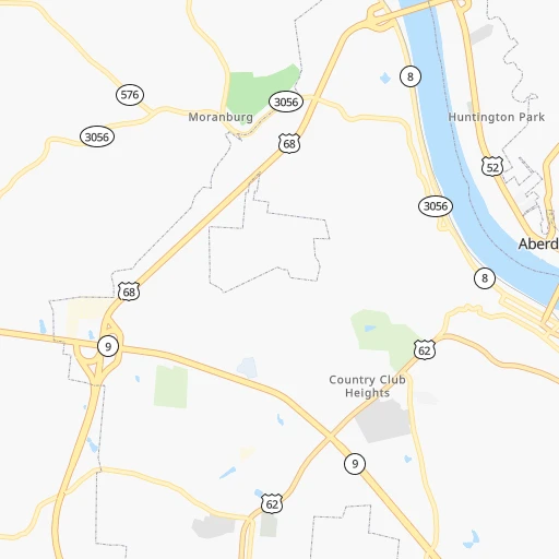
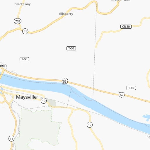
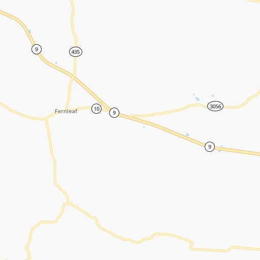
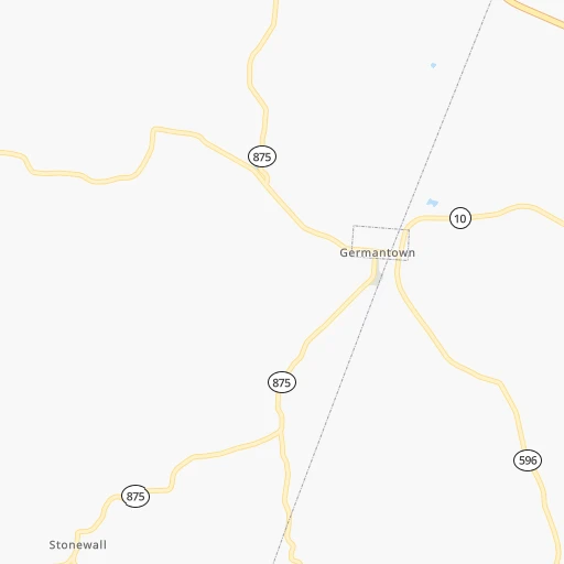
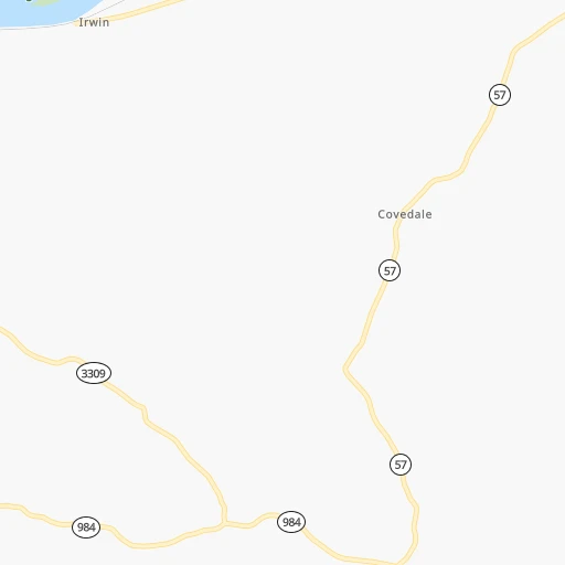
Roadmap (route) to go from Tyler Airport to Kokomo detailed above, you can also see the course layout on the map.
While doing trip Tyler (airport) - Kokomo by car, the calculated route ends at a distance , or more straight.
Distance and duration of the route between Tyler (airport) and Kokomo
Calculation of distance and route from Kokomo to Tyler (airport) :
285.8349.0 km4h8mn
Continue 0h0mn 71 mTurn left onto River Road 0h1mn 627 mTurn right onto Stivers Road 0h1mn 246 mTurn left onto US 52, US 62 Business 0h1mn 1.1 kmKeep right toward US 68 South 0h0mn 49 mTurn slight right onto US 62, US 68 0h2mn 2.9 kmTurn right onto Germantown Road 0h9mn 9.2 kmTurn right onto AA Highway 1h51mn 66.7 kmKeep right and take US 27 toward Cold Spring, Alexandria 0h1mn 897 mTurn right onto Alexandria Pike 0h5mn 4.7 kmContinue and take I 275, I 471 toward Cincinnati 0h6mn 9.6 kmKeep right and drive toward 6th Street, Downtown 0h3mn 1.8 kmKeep right onto West 6th Street and take I 75 North toward Dayton 0h0mn 67 mTurn slight right onto I 75 Alt and take I 75 North toward Dayton 0h0mn 464 mKeep left and drive toward Harrison Avenue 0h4mn 4.7 kmKeep right and take I 74 West, US 52 West, US 27 North toward Indianapolis 0h15mn 21.8 kmKeep left onto Northwest Expressway and take I 74 West, US 52 West toward Indianapolis 1h21mn 135.0 kmKeep right onto I 74, US 421 and take I 465, I 74 West toward Shadeland Avenue 0h0mn 382 mKeep right onto US 421 and take I 465 North toward Shadeland Avenue 0h1mn 799 mKeep right onto US 421 toward I 465 North 0h18mn 23.5 kmKeep right and drive toward Keystone Avenue 0h1mn 654 mKeep right and drive toward North Keystone Parkway, West 96th Street, West 98th Street, East 96th Street 1h38mn 52.2 kmKeep right onto SR 931 and take SR 931 toward Kokomo 0h5mn 6.1 kmTurn sharp left onto East Alto Road 0h0mn 42 mKeep right 0h0mn 71 mTurn slight right onto South Lafountain Street 0h5mn 5.2 kmTurn right onto West Sycamore Street 0h0mn 6 mArrive at destination 0h0mn 0 m
Travel from Tyler (airport) (Indiana) to a selection of major cities.
Distances from Tyler Airport to biggest cities in Ohio
- Mansfield,46,830 inhabitants.257 km
- Beavercreek,46,277 inhabitants.119 km
- Dublin,45,098 inhabitants.169 km
- Cleveland Heights,44,962 inhabitants.370 km
- Strongsville,44,668 inhabitants.338 km
- Fairfield,42,767 inhabitants.102 km
- Findlay,41,149 inhabitants.265 km
- Warren,40,245 inhabitants.381 km
- Lancaster,39,766 inhabitants.154 km
- Grove City,39,388 inhabitants.147 km
- Westerville,38,384 inhabitants.178 km
- Huber Heights,38,176 inhabitants.134 km
- Delaware,37,995 inhabitants.192 km
- Lima,37,873 inhabitants.233 km
- Reynoldsburg,37,158 inhabitants.166 km
- Marion,36,363 inhabitants.221 km
- Boardman,35,376 inhabitants.374 km
- Upper Arlington,34,907 inhabitants.160 km
- Stow,34,797 inhabitants.342 km
- Brunswick,34,689 inhabitants.330 km
Other major cities in country :
- Seattle [WA], 684,451 inhabitants. 3,248 km
- Denver [CO], 682,545 inhabitants. 1,829 km
- El Paso [TX], 681,124 inhabitants. 2,197 km
- Detroit [MI], 677,116 inhabitants. 413 km
- Boston [MA], 667,137 inhabitants. 1,150 km
- Memphis [TN], 655,770 inhabitants. 682 km
- New South Memphis [TN], 641,608 inhabitants. 687 km
- Portland [OR], 632,309 inhabitants. 3,269 km
- Oklahoma City [OK], 631,346 inhabitants. 1,270 km
- Las Vegas [NV], 623,747 inhabitants. 2,773 km
- Baltimore [MD], 621,849 inhabitants. 624 km
- Washington, D.C. [DC], 601,723 inhabitants. 585 km
- Milwaukee [WI], 600,155 inhabitants. 598 km
- South Boston [MA], 571,281 inhabitants. 1,150 km
- Albuquerque [NM], 559,121 inhabitants. 2,070 km
- Tucson [AZ], 531,641 inhabitants. 2,554 km
- Nashville [TN], 530,852 inhabitants. 385 km
- Fresno [CA], 520,052 inhabitants. 3,157 km
- Sacramento [CA], 490,712 inhabitants. 3,257 km
- Kansas City [MO], 475,378 inhabitants. 937 km
Route from Kokomo to major cities (United States).
- Distance Kokomo New York City1,025 km
- Distance Kokomo Los Angeles2,916 km
- Distance Kokomo Chicago198 km
- Distance Kokomo Brooklyn1,030 km
- Distance Kokomo Houston1,458 km
- Distance Kokomo Queens1,039 km
- Distance Kokomo Philadelphia934 km
- Distance Kokomo Phoenix2,426 km
- Distance Kokomo Manhattan1,028 km
- Distance Kokomo San Antonio1,666 km
- Distance Kokomo San Diego2,888 km
- Distance Kokomo The Bronx1,036 km
- Distance Kokomo Dallas1,281 km
- Distance Kokomo San Jose3,096 km
- Distance Kokomo Austin1,548 km
- Distance Kokomo Jacksonville1,201 km
- Distance Kokomo San Francisco3,126 km
- Distance Kokomo Columbus273 km
- Distance Kokomo Fort Worth1,319 km
- Distance Kokomo Charlotte747 km
Nearest cities to Tyler (airport) :
- Columbus, 850,106 inhabitants. 159 km
- Indianapolis, 829,718 inhabitants. 239 km
- Cleveland, 388,072 inhabitants. 362 km
- Lexington-Fayette, 314,488 inhabitants. 91 km
- Cincinnati, 296,943 inhabitants. 82 km
- Meads, 288,649 inhabitants. 97 km
- Ironville, 288,649 inhabitants. 97 km
- Toledo, 279,789 inhabitants. 334 km
- Fort Wayne, 260,326 inhabitants. 298 km
- Louisville, 243,639 inhabitants. 179 km
- Lexington, 225,366 inhabitants. 97 km
- Akron, 197,542 inhabitants. 331 km
- Knoxville, 185,291 inhabitants. 302 km
- Dayton, 140,599 inhabitants. 127 km
- Murfreesboro, 126,118 inhabitants. 390 km
- Carmel, 88,713 inhabitants. 249 km
- Bloomington, 84,067 inhabitants. 245 km
- Parma, 79,937 inhabitants. 351 km
- Fishers, 76,794 inhabitants. 240 km
- Canton, 71,885 inhabitants. 314 km
- Muncie, 70,087 inhabitants. 219 km
- Johnson City, 66,027 inhabitants. 290 km
- Lorain, 63,647 inhabitants. 339 km
- Bowling Green, 63,616 inhabitants. 300 km
- Hamilton, 62,407 inhabitants. 106 km
- Springfield, 59,680 inhabitants. 140 km
- Noblesville, 59,093 inhabitants. 246 km
- Kokomo, 57,995 inhabitants. 286 km
- Hendersonville, 56,018 inhabitants. 364 km
- Greenwood, 55,586 inhabitants. 227 km
- Kettering, 55,525 inhabitants. 119 km
- Anderson, 55,305 inhabitants. 229 km
- Elyria, 53,775 inhabitants. 333 km
- Kingsport, 53,014 inhabitants. 259 km
- Lakewood, 50,656 inhabitants. 356 km
- Charleston, 49,736 inhabitants. 190 km
- Cuyahoga Falls, 49,146 inhabitants. 337 km
- Middletown, 48,760 inhabitants. 109 km
- Huntington, 48,638 inhabitants. 119 km
- Mishawaka, 48,261 inhabitants. 390 km
- Newark, 47,986 inhabitants. 195 km
- Lawrence, 47,809 inhabitants. 234 km
- Euclid, 47,676 inhabitants. 378 km
- Jeffersonville, 46,960 inhabitants. 176 km
- Mentor, 46,901 inhabitants. 393 km
- Mansfield, 46,830 inhabitants. 257 km
- Columbus, 46,690 inhabitants. 195 km
- Smyrna, 46,607 inhabitants. 385 km
- Beavercreek, 46,277 inhabitants. 119 km
- Dublin, 45,098 inhabitants. 169 km
Location Tyler (airport) (Ohio) :
| Country flag |  |
| Location | Tyler (airport) |
| State | Ohio |
| County | Brown County |
| Country | United States |
| Country code / ISO 2 | US |
| Latitude | 38.6667400 |
| Longitude | -83.7749200 |
| Altitude | 152 meters |
| Time zone | America/New_York |
Location Kokomo (Indiana) :
| Country flag | |
| Location | Kokomo |
| State | Indiana |
| County | Howard County |
| Country | United States |
| Country code / ISO 2 | US |
| Latitude | 40.4864300 |
| Longitude | -86.1336000 |
| Altitude | 247 meters |
| Time zone | America/Indiana/Indianapolis |


