


How to get from Paramount Air (airport) (New Jersey) to Corona (New York)
Calculate route from Paramount Air (airport) (New Jersey, United States) to Corona (New York, United States).
The flight distance (as the crow flies) between Paramount Air (airport) and Corona is 207.2 km.
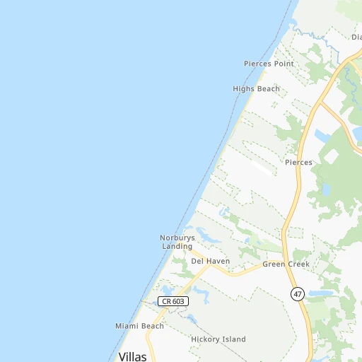
Roadmap (route) to go from Paramount Air Airport to Corona detailed above, you can also see the course layout on the map.
While doing trip Paramount Air (airport) - Corona by car, the calculated route ends at a distance , or more straight.
Distance and duration of the route between Paramount Air (airport) and Corona
Calculation of distance and route from Corona to Paramount Air (airport) :
207.2248.7 km3h8mn
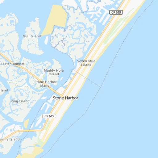
Continue 0h1mn 587 mTurn left onto South Delsea Drive 0h2mn 2.6 kmTurn right onto Springers Mill Road 0h3mn 2.4 kmTurn slight right onto Dias Creek Road 0h4mn 2.9 kmTurn right onto Mechanic Street 0h1mn 525 mTurn left onto North Main Street 0h1mn 711 mTurn right onto Stone Harbor Boulevard 0h0mn 477 mTurn left and take GSP toward garden state parkway 1h46mn 70.0 kmKeep right onto Garden State Parkway 1h31mn 48.8 kmKeep right onto US 9 and take US 9 North, CR 571, NJ 166 toward Lakewood 0h1mn 649 mKeep right onto US 9 and take US 9 North toward Lakewood 1h49mn 56.5 kmKeep right and take GSP North toward Garden State Parkway 0h2mn 3.5 kmKeep right onto Garden State Parkway and take GSP North, US 9 North, NJ 440 toward Woodbridge, Staten Island 0h2mn 2.0 kmKeep right onto Exit 127 and take US 9 North, I 287, NJ 440 toward Woodbridge, Staten Island 0h0mn 383 mKeep left and take US 9 North toward Woodbridge 0h2mn 2.6 kmKeep right 0h0mn 48 mTurn slight right 0h1mn 357 mTurn right onto New Jersey Turnpike 0h13mn 20.9 kmKeep right and take I 78, US 1, US 9 toward Newark Airport, Holland Tunnel 0h0mn 220 mKeep left and take I 78 East toward Bayonne, Jersey City, Holland Tunnel 0h9mn 13.7 kmKeep left onto Holland Tunnel and drive toward Holland Tunnel, Manhattan 0h4mn 3.3 kmKeep right and drive toward Brooklyn 0h0mn 254 mTurn right onto Lispenard Street 0h0mn 130 mTurn left onto Church Street 0h0mn 68 mTurn right onto Canal Street 0h0mn 20 mTurn left onto Greene Street 0h0mn 162 mTurn right onto Grand Street 0h2mn 1.5 kmTurn left onto Clinton Street 0h0mn 203 mTurn right onto Williamsburg Bridge 0h3mn 2.2 kmKeep left onto Williamsburg Bridge and take I 278 East toward Queens, Bronx 0h3mn 2.8 kmKeep left onto Brooklyn-Queens Expressway 0h4mn 4.6 kmKeep right and drive toward Broadway, Roosevelt Avenue 0h0mn 212 mKeep right and drive toward Broadway East, Roosevelt Avenue 0h0mn 48 mTurn right onto Broadway 0h1mn 353 mKeep left onto Roosevelt Avenue 0h3mn 2.5 kmTurn right onto 104th Street 0h1mn 353 mTurn left onto 45th Avenue 0h0mn 8 mArrive at destination 0h0mn 0 m
Travel from Paramount Air (airport) (New York) to a selection of major cities.
Distances from Paramount Air Airport to biggest cities in New Jersey
- Union,56,771 inhabitants.190 km
- Piscataway,56,044 inhabitants.166 km
- Jackson,54,856 inhabitants.79 km
- Lakewood,53,805 inhabitants.129 km
- Hoboken,53,635 inhabitants.201 km
- West New York,53,366 inhabitants.206 km
- Perth Amboy,52,682 inhabitants.170 km
- Plainfield,51,217 inhabitants.180 km
- Parsippany,51,144 inhabitants.204 km
- Bloomfield,49,120 inhabitants.204 km
- East Brunswick,48,495 inhabitants.157 km
- West Orange,48,131 inhabitants.201 km
- Sayreville,44,920 inhabitants.162 km
- Hackensack,44,834 inhabitants.216 km
- Bridgewater,44,464 inhabitants.172 km
- Sicklerville,42,891 inhabitants.73 km
- Sayreville Junction,42,890 inhabitants.164 km
- Kearny,42,137 inhabitants.201 km
- Linden,42,021 inhabitants.182 km
- Mount Laurel,41,864 inhabitants.97 km
Other major cities in country :
- Charlotte [NC], 827,097 inhabitants. 678 km
- Seattle [WA], 684,451 inhabitants. 3,891 km
- Denver [CO], 682,545 inhabitants. 2,576 km
- El Paso [TX], 681,124 inhabitants. 2,962 km
- Detroit [MI], 677,116 inhabitants. 777 km
- Boston [MA], 667,137 inhabitants. 490 km
- Memphis [TN], 655,770 inhabitants. 1,411 km
- New South Memphis [TN], 641,608 inhabitants. 1,414 km
- Portland [OR], 632,309 inhabitants. 3,939 km
- Oklahoma City [OK], 631,346 inhabitants. 2,037 km
- Las Vegas [NV], 623,747 inhabitants. 3,533 km
- Baltimore [MD], 621,849 inhabitants. 149 km
- Washington, D.C. [DC], 601,723 inhabitants. 185 km
- Milwaukee [WI], 600,155 inhabitants. 1,176 km
- South Boston [MA], 571,281 inhabitants. 488 km
- Albuquerque [NM], 559,121 inhabitants. 2,839 km
- Tucson [AZ], 531,641 inhabitants. 3,323 km
- Nashville [TN], 530,852 inhabitants. 1,095 km
- Fresno [CA], 520,052 inhabitants. 3,909 km
- Sacramento [CA], 490,712 inhabitants. 3,995 km
Route from Corona to major cities (United States).
- Distance Corona Los Angeles3,952 km
- Distance Corona Chicago1,159 km
- Distance Corona Houston2,296 km
- Distance Corona Philadelphia142 km
- Distance Corona Phoenix3,460 km
- Distance Corona San Antonio2,561 km
- Distance Corona San Diego3,924 km
- Distance Corona Dallas2,222 km
- Distance Corona San Jose4,118 km
- Distance Corona Austin2,447 km
- Distance Corona Jacksonville1,356 km
- Distance Corona San Francisco4,145 km
- Distance Corona Columbus780 km
- Distance Corona Fort Worth2,266 km
- Distance Corona Indianapolis1,050 km
- Distance Corona Charlotte867 km
- Distance Corona Seattle3,879 km
- Distance Corona Denver2,633 km
- Distance Corona El Paso3,074 km
- Distance Corona Detroit785 km
Nearest cities to Paramount Air (airport) :
- New York City, 8,175,133 inhabitants. 199 km
- Brooklyn, 2,300,664 inhabitants. 195 km
- Queens, 2,272,771 inhabitants. 202 km
- Philadelphia, 1,567,442 inhabitants. 101 km
- Manhattan, 1,487,536 inhabitants. 208 km
- The Bronx, 1,385,108 inhabitants. 218 km
- Baltimore, 621,849 inhabitants. 149 km
- Washington, D.C., 601,723 inhabitants. 185 km
- Staten Island, 468,730 inhabitants. 179 km
- Virginia Beach, 452,745 inhabitants. 264 km
- Newark, 281,944 inhabitants. 196 km
- Jersey City, 264,290 inhabitants. 198 km
- Norfolk, 246,393 inhabitants. 275 km
- Chesapeake, 235,429 inhabitants. 277 km
- Richmond, 220,289 inhabitants. 279 km
- Jamaica, 216,866 inhabitants. 204 km
- Arlington, 207,627 inhabitants. 191 km
- Yonkers, 201,116 inhabitants. 225 km
- Newport News, 182,385 inhabitants. 260 km
- Harlem, 181,259 inhabitants. 211 km
- East Flatbush, 178,464 inhabitants. 196 km
- East New York, 173,198 inhabitants. 199 km
- Alexandria, 153,511 inhabitants. 187 km
- Washington Heights, 152,613 inhabitants. 215 km
- Astoria, 150,165 inhabitants. 208 km
- Borough Park, 149,248 inhabitants. 191 km
- East Hampton, 147,993 inhabitants. 258 km
- Paterson, 147,754 inhabitants. 216 km
- Bridgeport, 147,629 inhabitants. 275 km
- Hampton, 136,454 inhabitants. 259 km
- New Haven, 130,322 inhabitants. 301 km
- Elizabeth, 129,007 inhabitants. 188 km
- Stamford, 128,874 inhabitants. 250 km
- Sunset Park, 126,000 inhabitants. 192 km
- Hartford, 124,006 inhabitants. 355 km
- Sheepshead Bay, 122,534 inhabitants. 189 km
- North Stamford, 121,230 inhabitants. 258 km
- Allentown, 120,207 inhabitants. 179 km
- East Harlem, 115,921 inhabitants. 209 km
- Elmhurst, 113,364 inhabitants. 206 km
- Bushwick, 112,620 inhabitants. 200 km
- Gravesend, 112,229 inhabitants. 189 km
- Corona, 109,698 inhabitants. 208 km
- Waterbury, 108,802 inhabitants. 319 km
- Edison, 102,548 inhabitants. 167 km
- Columbia, 99,615 inhabitants. 168 km
- Portsmouth Heights, 99,049 inhabitants. 281 km
- Richmond Hill, 98,984 inhabitants. 204 km
- Portsmouth, 96,201 inhabitants. 277 km
- Fordham, 94,678 inhabitants. 218 km
Location Paramount Air (airport) (New Jersey) :
| Country flag |  |
| Location | Paramount Air (airport) |
| State | New Jersey |
| County | Cape May County |
| Country | United States |
| Country code / ISO 2 | US |
| Latitude | 39.0645000 |
| Longitude | -74.9074100 |
| Altitude | 3 meters |
| Time zone | America/New_York |
Location Corona (New York) :
| Country flag | |
| Location | Corona |
| State | New York |
| County | Queens County |
| Country | United States |
| Country code / ISO 2 | US |
| Latitude | 40.7470500 |
| Longitude | -73.8601400 |
| Altitude | 13 meters |
| Time zone | America/New_York |


