
How to get from Geiserts Strip (New Jersey) to Springfield (Massachusetts)
Calculate route from Geiserts Strip (New Jersey, United States) to Springfield (Massachusetts, United States).
The flight distance (as the crow flies) between Geiserts Strip and Springfield is 337.8 km.
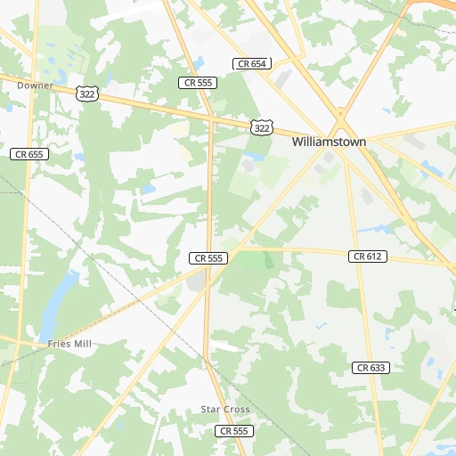
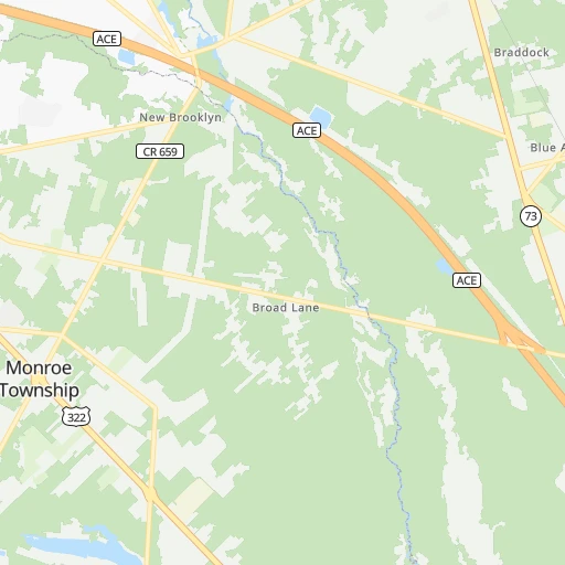
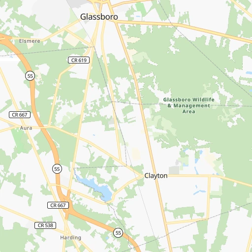
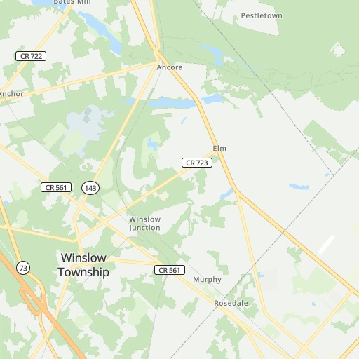
Roadmap (route) to go from Geiserts Strip to Springfield detailed above, you can also see the course layout on the map.
While doing trip Geiserts Strip - Springfield by car, the calculated route ends at a distance , or more straight.
Distance and duration of the route between Geiserts Strip and Springfield
Calculation of distance and route from Springfield to Geiserts Strip :
337.8381.8 km5h33mn
Continue onto Chaftseed Court 0h0mn 130 mTurn right onto Rushfoil Drive 0h0mn 102 mTurn right onto Carriage Drive 0h1mn 281 mTurn left onto West Malaga Road 0h5mn 5.1 kmContinue onto New Brooklyn Road 0h1mn 943 mTurn right onto Cedar Brook Road 0h0mn 483 mTurn left onto New Freedom Road 0h7mn 6.2 kmTurn right onto Taunton Road 0h1mn 1.5 kmKeep left onto Tansboro Road 0h3mn 2.6 kmTurn sharp left onto White Horse Pike 0h1mn 860 mTurn right onto Milford Road 0h1mn 559 mTurn left onto NJ 73 0h12mn 15.0 kmKeep right toward NJTP 0h0mn 433 mKeep left and take NJTP North toward New York 0h16mn 24.2 kmKeep right onto New Jersey Turnpike 1h57mn 90.7 kmKeep left onto New Jersey Turnpike Western Spur 0h11mn 18.2 kmKeep right and take US 46 toward The Ridgefields, Palisades Park 0h0mn 251 mKeep right and take US 46 East toward Ridgefield, Palisades Park 0h4mn 4.4 kmKeep left onto US 1, US 9, US 46 0h0mn 437 mKeep left and drive toward George Washington Bridge Upper Level 0h0mn 597 mKeep right onto I 95, US 1, US 9 0h0mn 27 mKeep left onto I 95, US 1, US 9 0h4mn 5.4 kmKeep right onto US 1 and take US 1 North toward Webster Avenue 0h0mn 195 mTurn left onto Webster Avenue 0h5mn 4.7 kmTurn right onto East Gun Hill Road 0h1mn 1.6 kmTurn left onto Boston Road 0h2mn 2.1 kmTurn slight right onto Boston Road 0h1mn 590 mContinue onto Boston Road 0h3mn 3.1 kmKeep right toward I 95 North 1h44mn 59.3 kmKeep right and drive toward Black Rock Turnpike 0h0mn 332 mKeep left and drive toward Bridgeport, Black Rock Turnpike 0h0mn 275 mContinue onto Kings Highway East 0h5mn 5.8 kmKeep left onto Glenwood Avenue 0h0mn 83 mTurn left onto Chopsey Hill Road 0h0mn 199 mTurn right and take CT 8, CT 25 North toward Trumbull, Waterbury 0h1mn 1.6 kmKeep right onto CT 8 0h2mn 2.8 kmKeep right and take CT 15 North toward Merritt Parkway, New Haven 1h34mn 49.4 kmKeep right and take I 91 North, CT 66 East toward Hartford, Middletown 0h20mn 29.0 kmKeep right onto I 91 0h3mn 3.5 kmKeep left 0h24mn 37.3 kmKeep right and drive toward Downtown Springfield 0h1mn 1.1 kmTurn right onto Court Street 0h1mn 127 mTurn left onto City Hall Place 0h0mn 51 mArrive at destination 0h0mn 0 m
Travel from Geiserts Strip (Massachusetts) to a selection of major cities.
Distances from Geiserts Strip to biggest cities in New Jersey
- Union,56,771 inhabitants.131 km
- Piscataway,56,044 inhabitants.106 km
- Jackson,54,856 inhabitants.17 km
- Lakewood,53,805 inhabitants.81 km
- Hoboken,53,635 inhabitants.145 km
- West New York,53,366 inhabitants.150 km
- Perth Amboy,52,682 inhabitants.113 km
- Plainfield,51,217 inhabitants.119 km
- Parsippany,51,144 inhabitants.142 km
- Bloomfield,49,120 inhabitants.145 km
- East Brunswick,48,495 inhabitants.99 km
- West Orange,48,131 inhabitants.142 km
- Sayreville,44,920 inhabitants.104 km
- Hackensack,44,834 inhabitants.158 km
- Bridgewater,44,464 inhabitants.109 km
- Sicklerville,42,891 inhabitants.7 km
- Sayreville Junction,42,890 inhabitants.106 km
- Kearny,42,137 inhabitants.143 km
- Linden,42,021 inhabitants.124 km
- Mount Laurel,41,864 inhabitants.32 km
Other major cities in country :
- Charlotte [NC], 827,097 inhabitants. 715 km
- Seattle [WA], 684,451 inhabitants. 3,854 km
- Denver [CO], 682,545 inhabitants. 2,558 km
- El Paso [TX], 681,124 inhabitants. 2,964 km
- Detroit [MI], 677,116 inhabitants. 741 km
- Boston [MA], 667,137 inhabitants. 446 km
- Memphis [TN], 655,770 inhabitants. 1,422 km
- New South Memphis [TN], 641,608 inhabitants. 1,426 km
- Portland [OR], 632,309 inhabitants. 3,905 km
- Oklahoma City [OK], 631,346 inhabitants. 2,037 km
- Las Vegas [NV], 623,747 inhabitants. 3,519 km
- Baltimore [MD], 621,849 inhabitants. 146 km
- Washington, D.C. [DC], 601,723 inhabitants. 197 km
- Milwaukee [WI], 600,155 inhabitants. 1,143 km
- South Boston [MA], 571,281 inhabitants. 445 km
- Albuquerque [NM], 559,121 inhabitants. 2,833 km
- Tucson [AZ], 531,641 inhabitants. 3,321 km
- Nashville [TN], 530,852 inhabitants. 1,107 km
- Fresno [CA], 520,052 inhabitants. 3,892 km
- Sacramento [CA], 490,712 inhabitants. 3,974 km
Route from Springfield to major cities (United States).
- Distance Springfield New York City194 km
- Distance Springfield Los Angeles4,050 km
- Distance Springfield Chicago1,245 km
- Distance Springfield Brooklyn197 km
- Distance Springfield Houston2,457 km
- Distance Springfield Queens189 km
- Distance Springfield Philadelphia322 km
- Distance Springfield Phoenix3,571 km
- Distance Springfield Manhattan186 km
- Distance Springfield San Antonio2,716 km
- Distance Springfield San Diego4,029 km
- Distance Springfield The Bronx175 km
- Distance Springfield Dallas2,367 km
- Distance Springfield San Jose4,196 km
- Distance Springfield Austin2,601 km
- Distance Springfield Jacksonville1,540 km
- Distance Springfield San Francisco4,220 km
- Distance Springfield Columbus905 km
- Distance Springfield Fort Worth2,411 km
- Distance Springfield Indianapolis1,169 km
Nearest cities to Geiserts Strip :
- New York City, 8,175,133 inhabitants. 144 km
- Brooklyn, 2,300,664 inhabitants. 141 km
- Queens, 2,272,771 inhabitants. 150 km
- Philadelphia, 1,567,442 inhabitants. 37 km
- Manhattan, 1,487,536 inhabitants. 152 km
- The Bronx, 1,385,108 inhabitants. 163 km
- Baltimore, 621,849 inhabitants. 146 km
- Washington, D.C., 601,723 inhabitants. 197 km
- Staten Island, 468,730 inhabitants. 124 km
- Virginia Beach, 452,745 inhabitants. 324 km
- Newark, 281,944 inhabitants. 138 km
- Jersey City, 264,290 inhabitants. 142 km
- Norfolk, 246,393 inhabitants. 333 km
- Chesapeake, 235,429 inhabitants. 335 km
- Richmond, 220,289 inhabitants. 318 km
- Jamaica, 216,866 inhabitants. 152 km
- Arlington, 207,627 inhabitants. 203 km
- Yonkers, 201,116 inhabitants. 169 km
- Newport News, 182,385 inhabitants. 314 km
- Harlem, 181,259 inhabitants. 155 km
- East Flatbush, 178,464 inhabitants. 142 km
- East New York, 173,198 inhabitants. 146 km
- Springfield, 154,341 inhabitants. 338 km
- Alexandria, 153,511 inhabitants. 202 km
- Washington Heights, 152,613 inhabitants. 160 km
- Astoria, 150,165 inhabitants. 153 km
- Borough Park, 149,248 inhabitants. 137 km
- East Hampton, 147,993 inhabitants. 314 km
- Paterson, 147,754 inhabitants. 156 km
- Bridgeport, 147,629 inhabitants. 226 km
- Hampton, 136,454 inhabitants. 316 km
- New Haven, 130,322 inhabitants. 253 km
- Elizabeth, 129,007 inhabitants. 130 km
- Stamford, 128,874 inhabitants. 198 km
- Sunset Park, 126,000 inhabitants. 137 km
- Hartford, 124,006 inhabitants. 304 km
- Sheepshead Bay, 122,534 inhabitants. 136 km
- North Stamford, 121,230 inhabitants. 205 km
- Allentown, 120,207 inhabitants. 115 km
- East Harlem, 115,921 inhabitants. 154 km
- Elmhurst, 113,364 inhabitants. 152 km
- Bushwick, 112,620 inhabitants. 147 km
- Gravesend, 112,229 inhabitants. 136 km
- Corona, 109,698 inhabitants. 154 km
- Waterbury, 108,802 inhabitants. 267 km
- Edison, 102,548 inhabitants. 108 km
- Columbia, 99,615 inhabitants. 167 km
- Portsmouth Heights, 99,049 inhabitants. 338 km
- Richmond Hill, 98,984 inhabitants. 152 km
- Albany, 98,469 inhabitants. 349 km
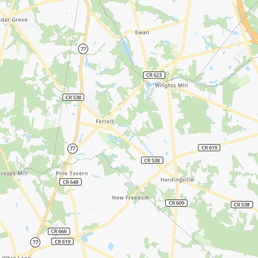
Location Geiserts Strip (New Jersey) :
| Country flag |  |
| Location | Geiserts Strip |
| State | New Jersey |
| County | Gloucester County |
| Country | United States |
| Country code / ISO 2 | US |
| Latitude | 39.6526200 |
| Longitude | -74.9732200 |
| Altitude | 34 meters |
| Time zone | America/New_York |
Location Springfield (Massachusetts) :
| Country flag | |
| Location | Springfield |
| State | Massachusetts |
| County | Hampden County |
| Country | United States |
| Country code / ISO 2 | US |
| Latitude | 42.1014800 |
| Longitude | -72.5898100 |
| Altitude | 25 meters |
| Time zone | America/New_York |


