
How to get from Yadkin County (airport) (North Carolina) to Kannapolis (North Carolina)
Calculate route from Yadkin County (airport) (North Carolina, United States) to Kannapolis (North Carolina, United States).
The flight distance (as the crow flies) between Yadkin County (airport) and Kannapolis is 72.8 km.
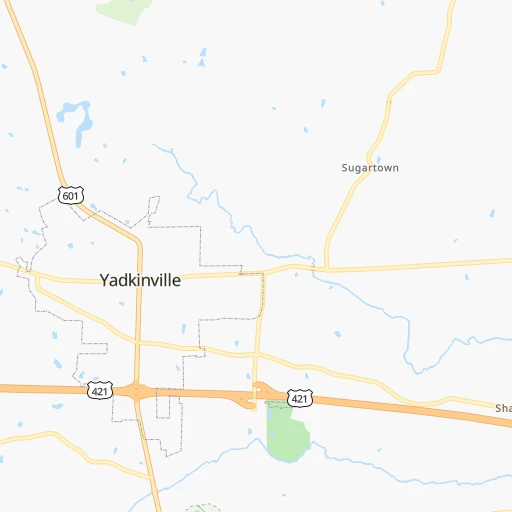
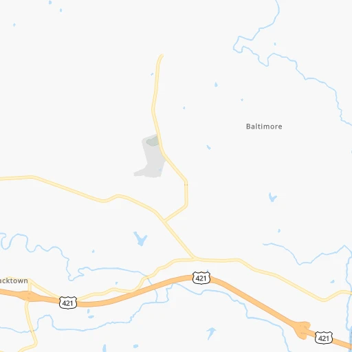
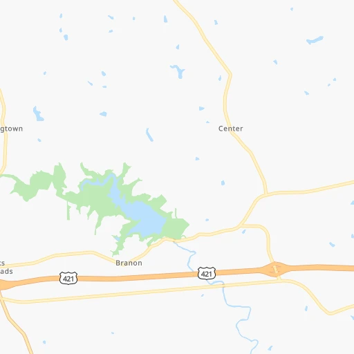
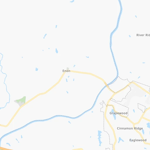
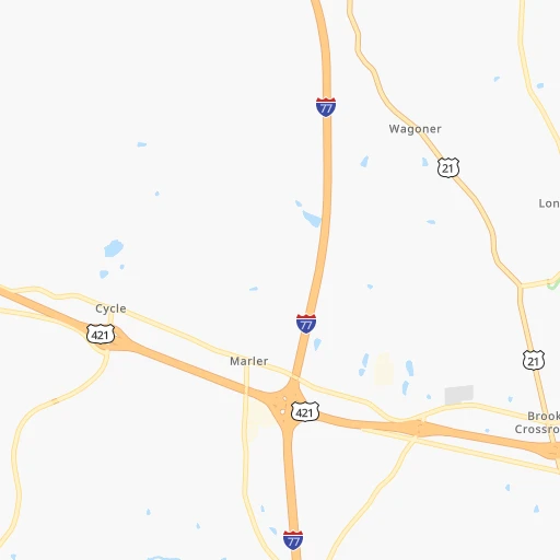
Roadmap (route) to go from Yadkin County Airport to Kannapolis detailed above, you can also see the course layout on the map.
While doing trip Yadkin County (airport) - Kannapolis by car, the calculated route ends at a distance , or more straight.
Distance and duration of the route between Yadkin County (airport) and Kannapolis
Calculation of distance and route from Kannapolis to Yadkin County (airport) :
72.889.0 km1h18mn
Continue onto Deer Run Lane 0h1mn 588 mTurn right onto Old US Highway 421 0h2mn 2.9 kmTurn left onto Unifi Industrial Drive 0h2mn 1.7 kmTurn left 0h1mn 1.9 kmKeep right 0h0mn 211 mKeep left 0h0mn 152 mTurn sharp left onto South State Street 0h21mn 25.8 kmTurn left onto Yadkinville Road 0h1mn 742 mTurn slight left onto Wilkesboro Street 0h1mn 1.1 kmTurn right onto North Salisbury Street 0h0mn 373 mTurn left onto West Lexington Road 0h0mn 149 mTurn right onto South Main Street 0h19mn 22.6 kmTurn sharp right onto Jake Alexander Boulevard North 0h7mn 7.8 kmKeep right onto US 70 0h1mn 278 mTurn left onto South Main Street 0h8mn 10.4 kmKeep right onto US 29 0h7mn 7.9 kmKeep right onto North Ridge Avenue 0h5mn 3.9 kmTurn left onto Cadillac Street 0h1mn 426 mArrive at destination 0h0mn 0 m
Travel from Yadkin County (airport) (North Carolina) to a selection of major cities.
Distances from Yadkin County Airport to biggest cities in North Carolina
- Kannapolis,46,144 inhabitants.73 km
- Apex,45,585 inhabitants.165 km
- Hickory,40,374 inhabitants.80 km
- Wake Forest,38,199 inhabitants.190 km
- Indian Trail,37,073 inhabitants.119 km
- Mooresville,36,009 inhabitants.65 km
- Goldsboro,35,826 inhabitants.251 km
- Monroe,34,623 inhabitants.129 km
- Salisbury,34,017 inhabitants.54 km
- Holly Springs,31,377 inhabitants.169 km
- Matthews,30,678 inhabitants.115 km
- New Bern,30,070 inhabitants.342 km
- Fort Bragg,29,183 inhabitants.183 km
- Sanford,29,144 inhabitants.149 km
- Cornelius,28,092 inhabitants.76 km
- Garner,28,053 inhabitants.186 km
- Thomasville,27,061 inhabitants.56 km
- Statesville,26,221 inhabitants.47 km
- Asheboro,26,103 inhabitants.86 km
- Mint Hill,25,627 inhabitants.107 km
Other major cities in country :
- Seattle [WA], 684,451 inhabitants. 3,635 km
- Denver [CO], 682,545 inhabitants. 2,170 km
- El Paso [TX], 681,124 inhabitants. 2,431 km
- Detroit [MI], 677,116 inhabitants. 720 km
- Boston [MA], 667,137 inhabitants. 1,074 km
- Memphis [TN], 655,770 inhabitants. 861 km
- New South Memphis [TN], 641,608 inhabitants. 863 km
- Portland [OR], 632,309 inhabitants. 3,648 km
- Oklahoma City [OK], 631,346 inhabitants. 1,526 km
- Las Vegas [NV], 623,747 inhabitants. 3,087 km
- Baltimore [MD], 621,849 inhabitants. 497 km
- Washington, D.C. [DC], 601,723 inhabitants. 440 km
- Milwaukee [WI], 600,155 inhabitants. 990 km
- South Boston [MA], 571,281 inhabitants. 1,073 km
- Albuquerque [NM], 559,121 inhabitants. 2,353 km
- Tucson [AZ], 531,641 inhabitants. 2,814 km
- Nashville [TN], 530,852 inhabitants. 555 km
- Fresno [CA], 520,052 inhabitants. 3,483 km
- Sacramento [CA], 490,712 inhabitants. 3,598 km
- Kansas City [MO], 475,378 inhabitants. 1,273 km
Route from Kannapolis to major cities (United States).
- Distance Kannapolis New York City821 km
- Distance Kannapolis Los Angeles3,423 km
- Distance Kannapolis Chicago935 km
- Distance Kannapolis Brooklyn819 km
- Distance Kannapolis Houston1,520 km
- Distance Kannapolis Queens829 km
- Distance Kannapolis Philadelphia691 km
- Distance Kannapolis Phoenix2,883 km
- Distance Kannapolis Manhattan828 km
- Distance Kannapolis San Antonio1,806 km
- Distance Kannapolis San Diego3,363 km
- Distance Kannapolis The Bronx840 km
- Distance Kannapolis Dallas1,520 km
- Distance Kannapolis San Jose3,674 km
- Distance Kannapolis Austin1,700 km
- Distance Kannapolis Jacksonville582 km
- Distance Kannapolis San Francisco3,712 km
- Distance Kannapolis Columbus540 km
- Distance Kannapolis Fort Worth1,568 km
- Distance Kannapolis Indianapolis682 km
Nearest cities to Yadkin County (airport) :
- Charlotte, 827,097 inhabitants. 104 km
- Raleigh, 451,066 inhabitants. 182 km
- West Raleigh, 338,759 inhabitants. 180 km
- Meads, 288,649 inhabitants. 314 km
- Ironville, 288,649 inhabitants. 317 km
- Greensboro, 285,342 inhabitants. 74 km
- Durham, 257,636 inhabitants. 155 km
- Winston-Salem, 241,218 inhabitants. 33 km
- Fayetteville, 201,963 inhabitants. 198 km
- Cary, 159,769 inhabitants. 169 km
- Columbia, 133,803 inhabitants. 242 km
- Athens, 116,714 inhabitants. 350 km
- Wilmington, 115,933 inhabitants. 323 km
- High Point, 110,268 inhabitants. 58 km
- Roanoke, 99,897 inhabitants. 139 km
- Asheville, 88,512 inhabitants. 185 km
- Concord, 87,696 inhabitants. 82 km
- Lynchburg, 79,812 inhabitants. 193 km
- Gastonia, 74,543 inhabitants. 111 km
- Rock Hill, 71,548 inhabitants. 141 km
- Johnson City, 66,027 inhabitants. 158 km
- West Lynchburg, 65,517 inhabitants. 190 km
- Greenville, 64,579 inhabitants. 216 km
- Chapel Hill, 59,568 inhabitants. 142 km
- Rocky Mount, 55,806 inhabitants. 255 km
- Kingsport, 53,014 inhabitants. 181 km
- Huntersville, 52,704 inhabitants. 84 km
- Harrisonburg, 52,538 inhabitants. 300 km
- Burlington, 52,472 inhabitants. 105 km
- Charleston, 49,736 inhabitants. 262 km
- Wilson, 49,643 inhabitants. 247 km
- Huntington, 48,638 inhabitants. 301 km
- Charlottesville, 46,597 inhabitants. 283 km
- Kannapolis, 46,144 inhabitants. 73 km
- Apex, 45,585 inhabitants. 165 km
- Blacksburg, 44,215 inhabitants. 122 km
- Augusta, 43,459 inhabitants. 322 km
- Danville, 42,082 inhabitants. 120 km
- Sumter, 40,816 inhabitants. 249 km
- Hickory, 40,374 inhabitants. 80 km
- Florence, 38,228 inhabitants. 230 km
- Wake Forest, 38,199 inhabitants. 190 km
- Spartanburg, 37,867 inhabitants. 179 km
- Indian Trail, 37,073 inhabitants. 119 km
- Mooresville, 36,009 inhabitants. 65 km
- Goldsboro, 35,826 inhabitants. 251 km
- Martinez, 35,795 inhabitants. 321 km
- Monroe, 34,623 inhabitants. 129 km
- Salisbury, 34,017 inhabitants. 54 km
- Holly Springs, 31,377 inhabitants. 169 km
Location Yadkin County (airport) (North Carolina) :
| Country flag |  |
| Location | Yadkin County (airport) |
| State | North Carolina |
| County | Yadkin County |
| Country | United States |
| Country code / ISO 2 | US |
| Latitude | 36.1420800 |
| Longitude | -80.6092300 |
| Altitude | 280 meters |
| Time zone | America/New_York |
Location Kannapolis (North Carolina) :
| Country flag | |
| Location | Kannapolis |
| State | North Carolina |
| County | Cabarrus County |
| Country | United States |
| Country code / ISO 2 | US |
| Latitude | 35.4873600 |
| Longitude | -80.6217300 |
| Altitude | 244 meters |
| Time zone | America/New_York |
