
How to get from Wilson Industrial Air Center (North Carolina) to Gastonia (North Carolina)
Calculate route from Wilson Industrial Air Center (North Carolina, United States) to Gastonia (North Carolina, United States).
The flight distance (as the crow flies) between Wilson Industrial Air Center and Gastonia is 296.8 km.
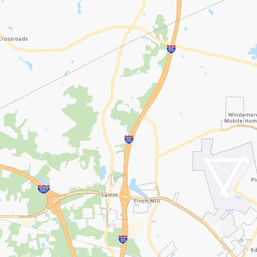
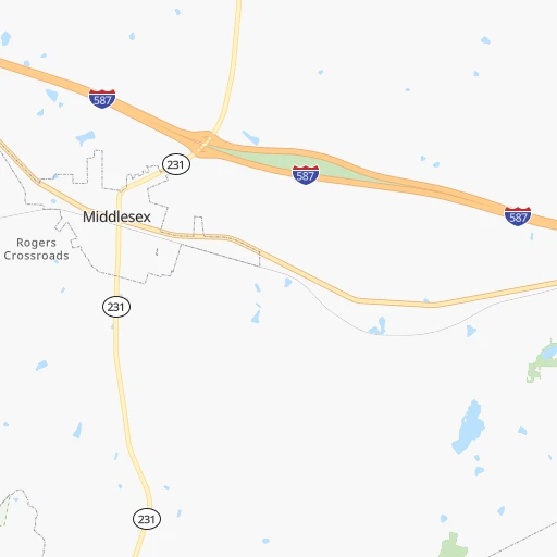
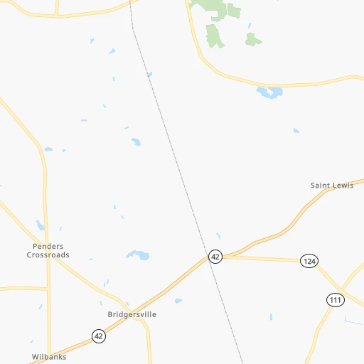
Roadmap (route) to go from Wilson Industrial Air Center to Gastonia detailed above, you can also see the course layout on the map.
While doing trip Wilson Industrial Air Center - Gastonia by car, the calculated route ends at a distance , or more straight.
Distance and duration of the route between Wilson Industrial Air Center and Gastonia
Calculation of distance and route from Gastonia to Wilson Industrial Air Center :
296.8326.2 km4h8mn
Continue 0h2mn 1.6 kmTurn right onto Airport Boulevard 0h2mn 1.8 kmTurn right onto Raleigh Road Parkway West 0h5mn 6.1 kmKeep right 1h32mn 54.2 kmKeep left onto I 87, US 64 and take I 87 South, I 440 East, To I 40, US 64 West toward Durham, Benson 0h10mn 14.5 kmKeep right and drive toward Gorman St 0h0mn 444 mKeep left and drive toward Gorman St 0h0mn 82 mTurn left onto Gorman Street 0h0mn 545 mTurn right onto Tryon Road 1h30mn 38.8 kmKeep right onto US 64 BUS 0h5mn 5.4 kmAt roundabout, take exit 2 onto West Street 0h5mn 5.1 kmKeep left onto US 64 BUS toward US 64 West 1h38mn 48.2 kmKeep left onto Richard K. Pugh Highway and take US 64 Business West, NC 49 South toward Asheboro 0h7mn 8.5 kmKeep right 0h0mn 95 mTurn slight right onto Brookway Road 0h0mn 96 mTurn sharp left onto Albemarle Road 1h9mn 87.3 kmTurn slight right onto NC Highway 49 0h11mn 12.0 kmTurn left 0h26mn 37.1 kmKeep right and take NC 279 toward Dallas, New Hope Road 0h0mn 370 mTurn left onto North New Hope Road 0h0mn 138 mTurn right onto North New Hope Road 0h1mn 756 mTurn sharp right onto East Franklin Boulevard 0h3mn 3.2 kmArrive at destination 0h0mn 0 m
Travel from Wilson Industrial Air Center (North Carolina) to a selection of major cities.
Distances from Wilson Industrial Air Center to biggest cities in North Carolina
- Kannapolis,46,144 inhabitants.242 km
- Apex,45,585 inhabitants.80 km
- Hickory,40,374 inhabitants.305 km
- Wake Forest,38,199 inhabitants.54 km
- Indian Trail,37,073 inhabitants.257 km
- Mooresville,36,009 inhabitants.258 km
- Goldsboro,35,826 inhabitants.43 km
- Monroe,34,623 inhabitants.250 km
- Salisbury,34,017 inhabitants.227 km
- Holly Springs,31,377 inhabitants.80 km
- Matthews,30,678 inhabitants.260 km
- New Bern,30,070 inhabitants.111 km
- Fort Bragg,29,183 inhabitants.117 km
- Sanford,29,144 inhabitants.115 km
- Cornelius,28,092 inhabitants.264 km
- Garner,28,053 inhabitants.59 km
- Thomasville,27,061 inhabitants.191 km
- Statesville,26,221 inhabitants.264 km
- Asheboro,26,103 inhabitants.167 km
- Mint Hill,25,627 inhabitants.252 km
Other major cities in country :
- Seattle [WA], 684,451 inhabitants. 3,856 km
- Denver [CO], 682,545 inhabitants. 2,409 km
- El Paso [TX], 681,124 inhabitants. 2,667 km
- Detroit [MI], 677,116 inhabitants. 852 km
- Boston [MA], 667,137 inhabitants. 945 km
- Memphis [TN], 655,770 inhabitants. 1,097 km
- New South Memphis [TN], 641,608 inhabitants. 1,099 km
- Portland [OR], 632,309 inhabitants. 3,875 km
- Oklahoma City [OK], 631,346 inhabitants. 1,767 km
- Las Vegas [NV], 623,747 inhabitants. 3,328 km
- Baltimore [MD], 621,849 inhabitants. 410 km
- Washington, D.C. [DC], 601,723 inhabitants. 358 km
- Milwaukee [WI], 600,155 inhabitants. 1,176 km
- South Boston [MA], 571,281 inhabitants. 944 km
- Albuquerque [NM], 559,121 inhabitants. 2,594 km
- Tucson [AZ], 531,641 inhabitants. 3,053 km
- Nashville [TN], 530,852 inhabitants. 796 km
- Fresno [CA], 520,052 inhabitants. 3,724 km
- Sacramento [CA], 490,712 inhabitants. 3,838 km
- Kansas City [MO], 475,378 inhabitants. 1,512 km
Route from Gastonia to major cities (United States).
- Distance Gastonia New York City874 km
- Distance Gastonia Los Angeles3,376 km
- Distance Gastonia Chicago924 km
- Distance Gastonia Brooklyn873 km
- Distance Gastonia Houston1,463 km
- Distance Gastonia Queens883 km
- Distance Gastonia Philadelphia744 km
- Distance Gastonia Phoenix2,834 km
- Distance Gastonia Manhattan882 km
- Distance Gastonia San Antonio1,749 km
- Distance Gastonia San Diego3,315 km
- Distance Gastonia The Bronx893 km
- Distance Gastonia Dallas1,466 km
- Distance Gastonia San Jose3,631 km
- Distance Gastonia Austin1,644 km
- Distance Gastonia Jacksonville551 km
- Distance Gastonia San Francisco3,670 km
- Distance Gastonia Columbus547 km
- Distance Gastonia Fort Worth1,514 km
- Distance Gastonia Indianapolis666 km
Nearest cities to Wilson Industrial Air Center :
- Charlotte, 827,097 inhabitants. 268 km
- Virginia Beach, 452,745 inhabitants. 215 km
- Raleigh, 451,066 inhabitants. 61 km
- West Raleigh, 338,759 inhabitants. 63 km
- Greensboro, 285,342 inhabitants. 168 km
- Durham, 257,636 inhabitants. 88 km
- Norfolk, 246,393 inhabitants. 193 km
- Winston-Salem, 241,218 inhabitants. 209 km
- Chesapeake, 235,429 inhabitants. 192 km
- Richmond, 220,289 inhabitants. 204 km
- Fayetteville, 201,963 inhabitants. 115 km
- Newport News, 182,385 inhabitants. 198 km
- Cary, 159,769 inhabitants. 74 km
- East Hampton, 147,993 inhabitants. 203 km
- Hampton, 136,454 inhabitants. 202 km
- Charleston, 132,609 inhabitants. 379 km
- Wilmington, 115,933 inhabitants. 172 km
- High Point, 110,268 inhabitants. 185 km
- North Charleston, 108,304 inhabitants. 373 km
- Roanoke, 99,897 inhabitants. 243 km
- Portsmouth Heights, 99,049 inhabitants. 185 km
- Portsmouth, 96,201 inhabitants. 191 km
- Greenville, 90,597 inhabitants. 57 km
- Suffolk, 88,161 inhabitants. 164 km
- Concord, 87,696 inhabitants. 240 km
- Mount Pleasant, 81,317 inhabitants. 374 km
- South Suffolk, 80,690 inhabitants. 162 km
- Lynchburg, 79,812 inhabitants. 211 km
- Waldorf, 67,752 inhabitants. 331 km
- Jacksonville, 67,357 inhabitants. 123 km
- Dale City, 65,969 inhabitants. 325 km
- West Lynchburg, 65,517 inhabitants. 212 km
- Chapel Hill, 59,568 inhabitants. 100 km
- Rocky Mount, 55,806 inhabitants. 25 km
- Huntersville, 52,704 inhabitants. 263 km
- Harrisonburg, 52,538 inhabitants. 309 km
- Burlington, 52,472 inhabitants. 138 km
- Wilson, 49,643 inhabitants. 7 km
- Summerville, 48,848 inhabitants. 367 km
- Charlottesville, 46,597 inhabitants. 256 km
- Kannapolis, 46,144 inhabitants. 242 km
- Apex, 45,585 inhabitants. 80 km
- Tuckahoe, 44,990 inhabitants. 206 km
- Blacksburg, 44,215 inhabitants. 273 km
- Danville, 42,082 inhabitants. 157 km
- Manassas, 41,764 inhabitants. 335 km
- Lake Ridge, 41,058 inhabitants. 330 km
- Sumter, 40,816 inhabitants. 299 km
- Goose Creek, 40,633 inhabitants. 364 km
- Florence, 38,228 inhabitants. 240 km
Location Wilson Industrial Air Center (North Carolina) :
| Country flag |  |
| Location | Wilson Industrial Air Center |
| State | North Carolina |
| County | Wilson County |
| Country | United States |
| Country code / ISO 2 | US |
| Latitude | 35.7680600 |
| Longitude | -77.9655000 |
| Altitude | 46 meters |
| Time zone | America/New_York |
Location Gastonia (North Carolina) :
| Country flag | |
| Location | Gastonia |
| State | North Carolina |
| County | Gaston County |
| Country | United States |
| Country code / ISO 2 | US |
| Latitude | 35.2620800 |
| Longitude | -81.1873000 |
| Altitude | 245 meters |
| Time zone | America/New_York |


