

How to get from Warf (airport) (North Carolina) to Washington D.C. (Washington, D.C.)
Calculate route from Warf (airport) (North Carolina, United States) to Washington D.C. (Washington, D.C., United States).
The flight distance (as the crow flies) between Warf (airport) and Washington D.C. is 369.8 km.
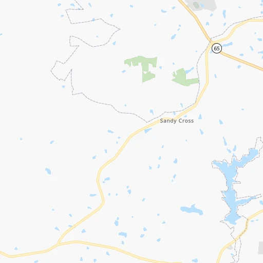
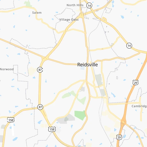
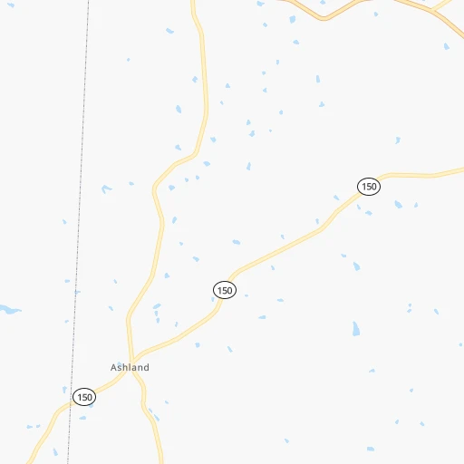
Roadmap (route) to go from Warf Airport to Washington D.C. detailed above, you can also see the course layout on the map.
While doing trip Warf (airport) - Washington D.C. by car, the calculated route ends at a distance , or more straight.
Distance and duration of the route between Warf (airport) and Washington D.C.
Calculation of distance and route from Washington D.C. to Warf (airport) :
369.8433.5 km5h23mn
Continue onto US 158 0h2mn 1.9 kmTurn sharp right and take US 29 BUS North, NC 87 North toward Danville 0h7mn 7.6 kmTurn slight right onto US 29 BUS 0h9mn 9.5 kmTurn left 0h10mn 16.5 kmContinue onto West Main Street 0h4mn 3.6 kmTurn slight left onto Memorial Drive 0h1mn 1.4 kmTurn left onto Piedmont Drive 0h0mn 385 mKeep right toward US 58 Business East 0h2mn 2.0 kmContinue onto Riverside Drive 0h0mn 56 mKeep left 0h0mn 171 mTurn slight left onto Piney Forest Road 0h5mn 5.2 kmTurn slight right onto Piney Forest Road 0h1mn 741 mTurn slight right onto North Main Street 0h7mn 7.2 kmKeep right onto US 29 BUS and take US 29 North toward Chatham, Lynchburg 0h9mn 12.6 kmKeep left onto US 29 toward US 29 Business North 0h11mn 15.5 kmKeep left onto US 29 toward US 29 North 1h39mn 55.8 kmKeep right onto US 29 toward US 29 North, US 460 East 0h7mn 10.5 kmKeep right onto US 29 and take US 29 North toward Amherst, Charlottesville 1h11mn 103.3 kmKeep right 0h0mn 304 mMake a U-turn onto Emmet Street North 1h9mn 91.4 kmTurn right onto Catlett Road 0h28mn 31.9 kmTurn left onto Hornbaker Road 0h2mn 1.9 kmContinue onto Hornbaker Road 0h2mn 1.5 kmTurn right onto Wellington Road 0h0mn 208 mTurn left onto Prince William Parkway 0h0mn 463 mTurn right onto Sudley Manor Drive 0h3mn 2.9 kmTurn left onto Sudley Road 0h1mn 1.4 kmKeep right and take I 66 East, I 66 Toll East Express Lanes toward Washington 0h0mn 362 mKeep right 0h17mn 27.9 kmKeep right 0h0mn 275 mKeep right 0h13mn 16.8 kmKeep right onto US 50 and take US 50 East toward Constitution Avenue, Downtown 0h0mn 403 mTurn slight right onto Constitution Avenue Northwest 0h2mn 1.4 kmTurn left onto 15th Street Northwest 0h0mn 335 mArrive at destination 0h0mn 0 m
Travel from Warf (airport) (Washington, D.C.) to a selection of major cities.
Distances from Warf Airport to biggest cities in North Carolina
- Kannapolis,46,144 inhabitants.125 km
- Apex,45,585 inhabitants.102 km
- Hickory,40,374 inhabitants.161 km
- Wake Forest,38,199 inhabitants.115 km
- Indian Trail,37,073 inhabitants.164 km
- Mooresville,36,009 inhabitants.129 km
- Goldsboro,35,826 inhabitants.187 km
- Monroe,34,623 inhabitants.168 km
- Salisbury,34,017 inhabitants.100 km
- Holly Springs,31,377 inhabitants.109 km
- Matthews,30,678 inhabitants.163 km
- New Bern,30,070 inhabitants.277 km
- Fort Bragg,29,183 inhabitants.147 km
- Sanford,29,144 inhabitants.106 km
- Cornelius,28,092 inhabitants.140 km
- Garner,28,053 inhabitants.120 km
- Thomasville,27,061 inhabitants.60 km
- Statesville,26,221 inhabitants.122 km
- Asheboro,26,103 inhabitants.70 km
- Mint Hill,25,627 inhabitants.153 km
Other major cities in country :
- Seattle [WA], 684,451 inhabitants. 3,691 km
- Denver [CO], 682,545 inhabitants. 2,241 km
- El Paso [TX], 681,124 inhabitants. 2,513 km
- Detroit [MI], 677,116 inhabitants. 727 km
- Boston [MA], 667,137 inhabitants. 1,002 km
- Memphis [TN], 655,770 inhabitants. 943 km
- New South Memphis [TN], 641,608 inhabitants. 945 km
- Portland [OR], 632,309 inhabitants. 3,708 km
- Oklahoma City [OK], 631,346 inhabitants. 1,606 km
- Las Vegas [NV], 623,747 inhabitants. 3,162 km
- Baltimore [MD], 621,849 inhabitants. 428 km
- Washington, D.C. [DC], 601,723 inhabitants. 370 km
- Milwaukee [WI], 600,155 inhabitants. 1,024 km
- South Boston [MA], 571,281 inhabitants. 1,001 km
- Albuquerque [NM], 559,121 inhabitants. 2,431 km
- Tucson [AZ], 531,641 inhabitants. 2,895 km
- Nashville [TN], 530,852 inhabitants. 635 km
- Fresno [CA], 520,052 inhabitants. 3,557 km
- Sacramento [CA], 490,712 inhabitants. 3,669 km
- Kansas City [MO], 475,378 inhabitants. 1,344 km
Route from Washington D.C. to major cities (United States).
- Distance Washington D.C. New York City329 km
- Distance Washington D.C. Los Angeles3,696 km
- Distance Washington D.C. Chicago958 km
- Distance Washington D.C. Brooklyn328 km
- Distance Washington D.C. Houston1,962 km
- Distance Washington D.C. Queens338 km
- Distance Washington D.C. Philadelphia199 km
- Distance Washington D.C. Phoenix3,186 km
- Distance Washington D.C. Manhattan336 km
- Distance Washington D.C. San Antonio2,232 km
- Distance Washington D.C. San Diego3,657 km
- Distance Washington D.C. The Bronx347 km
- Distance Washington D.C. Dallas1,905 km
- Distance Washington D.C. San Jose3,893 km
- Distance Washington D.C. Austin2,120 km
- Distance Washington D.C. Jacksonville1,043 km
- Distance Washington D.C. San Francisco3,923 km
- Distance Washington D.C. Columbus526 km
- Distance Washington D.C. Fort Worth1,951 km
- Distance Washington D.C. Indianapolis791 km
Nearest cities to Warf (airport) :
- Charlotte, 827,097 inhabitants. 160 km
- Washington, D.C., 601,723 inhabitants. 370 km
- Raleigh, 451,066 inhabitants. 115 km
- West Raleigh, 338,759 inhabitants. 112 km
- Meads, 288,649 inhabitants. 352 km
- Ironville, 288,649 inhabitants. 355 km
- Greensboro, 285,342 inhabitants. 29 km
- Durham, 257,636 inhabitants. 82 km
- Winston-Salem, 241,218 inhabitants. 54 km
- Richmond, 220,289 inhabitants. 242 km
- Arlington, 207,627 inhabitants. 365 km
- Fayetteville, 201,963 inhabitants. 161 km
- Cary, 159,769 inhabitants. 103 km
- Alexandria, 153,511 inhabitants. 362 km
- Columbia, 133,803 inhabitants. 286 km
- Wilmington, 115,933 inhabitants. 284 km
- High Point, 110,268 inhabitants. 49 km
- Roanoke, 99,897 inhabitants. 107 km
- Columbia, 99,615 inhabitants. 411 km
- Greenville, 90,597 inhabitants. 226 km
- Asheville, 88,512 inhabitants. 269 km
- Concord, 87,696 inhabitants. 129 km
- Germantown, 86,395 inhabitants. 383 km
- Lynchburg, 79,812 inhabitants. 131 km
- Gastonia, 74,543 inhabitants. 178 km
- Rock Hill, 71,548 inhabitants. 196 km
- Silver Spring, 71,452 inhabitants. 379 km
- Centreville, 71,135 inhabitants. 345 km
- Waldorf, 67,752 inhabitants. 354 km
- Gaithersburg, 67,456 inhabitants. 383 km
- Jacksonville, 67,357 inhabitants. 271 km
- Rockville, 66,980 inhabitants. 381 km
- Johnson City, 66,027 inhabitants. 237 km
- Dale City, 65,969 inhabitants. 333 km
- Ellicott City, 65,834 inhabitants. 416 km
- West Lynchburg, 65,517 inhabitants. 129 km
- Greenville, 64,579 inhabitants. 293 km
- Bethesda, 60,858 inhabitants. 374 km
- Chapel Hill, 59,568 inhabitants. 75 km
- Reston, 58,404 inhabitants. 361 km
- Bowie, 58,025 inhabitants. 392 km
- Rocky Mount, 55,806 inhabitants. 178 km
- Kingsport, 53,014 inhabitants. 257 km
- Huntersville, 52,704 inhabitants. 144 km
- Harrisonburg, 52,538 inhabitants. 248 km
- Burlington, 52,472 inhabitants. 36 km
- Leesburg, 51,209 inhabitants. 363 km
- Charleston, 49,736 inhabitants. 282 km
- Wilson, 49,643 inhabitants. 175 km
- Aspen Hill, 48,759 inhabitants. 384 km
Location Warf (airport) (North Carolina) :
| Country flag |  |
| Location | Warf (airport) |
| State | North Carolina |
| County | Rockingham County |
| Country | United States |
| Country code / ISO 2 | US |
| Latitude | 36.3274300 |
| Longitude | -79.7099100 |
| Altitude | 249 meters |
| Time zone | America/New_York |
Location Washington D.C. (Washington, D.C.) :
| Country flag | |
| Location | Washington D.C. |
| State | Washington, D.C. |
| County | Washington County |
| Country | United States |
| Country code / ISO 2 | US |
| Latitude | 38.8951100 |
| Longitude | -77.0363700 |
| Altitude | 7 meters |
| Time zone | America/New_York |


