
How to get from Plymouth Municipal (airport) (North Carolina) to Asheboro (North Carolina)
Calculate route from Plymouth Municipal (airport) (North Carolina, United States) to Asheboro (North Carolina, United States).
The flight distance (as the crow flies) between Plymouth Municipal (airport) and Asheboro is 275.5 km.
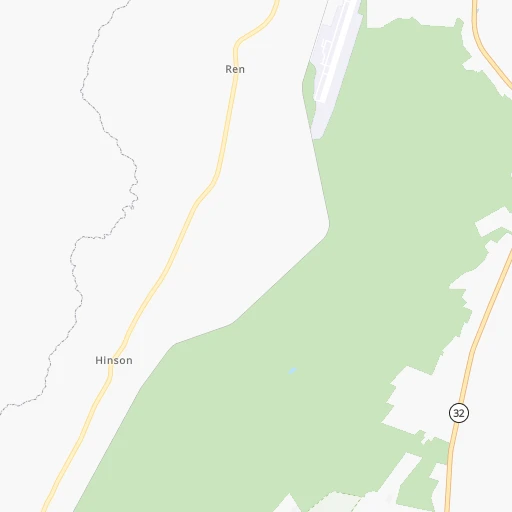
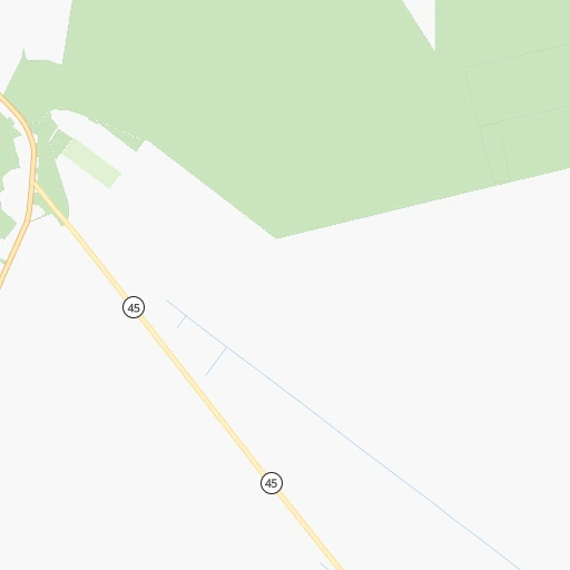
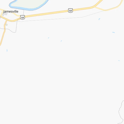
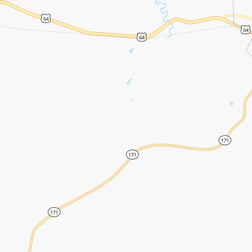
Roadmap (route) to go from Plymouth Municipal Airport to Asheboro detailed above, you can also see the course layout on the map.
While doing trip Plymouth Municipal (airport) - Asheboro by car, the calculated route ends at a distance , or more straight.
Distance and duration of the route between Plymouth Municipal (airport) and Asheboro
Calculation of distance and route from Asheboro to Plymouth Municipal (airport) :
275.5304.8 km4h36mn
Continue onto Airport Road 0h0mn 151 mTurn right onto Plymouth Airport Road 0h3mn 1.7 kmTurn sharp left onto Morrattock Road 0h1mn 950 mTurn right onto Long Ridge Road 0h1mn 1.4 kmTurn sharp left onto U.S. Highway 64 West 0h22mn 28.8 kmTurn left onto East Boulevard 0h2mn 2.2 kmTurn slight right onto West Main Street 0h8mn 9.4 kmTurn left 1h24mn 141.1 kmKeep left onto I 87, US 64 and take I 87 South, I 440 East, To I 40, US 64 West toward Durham, Benson 0h10mn 14.5 kmKeep right and drive toward Gorman St 0h0mn 444 mKeep left and drive toward Gorman St 0h0mn 82 mTurn left onto Gorman Street 0h0mn 545 mTurn right onto Tryon Road 1h30mn 38.8 kmKeep right onto US 64 BUS 0h5mn 5.4 kmAt roundabout, take exit 2 onto West Street 0h5mn 5.1 kmKeep left onto US 64 BUS toward US 64 West 1h38mn 48.2 kmKeep left onto Richard K. Pugh Highway and take US 64 Business West, NC 49 South toward Asheboro 0h2mn 2.9 kmTurn right onto East Salisbury Street 0h4mn 3.2 kmTurn right onto North Fayetteville Street 0h0mn 16 mArrive at destination 0h0mn 0 m
Travel from Plymouth Municipal (airport) (North Carolina) to a selection of major cities.
Distances from Plymouth Municipal Airport to biggest cities in North Carolina
- Kannapolis,46,144 inhabitants.351 km
- Apex,45,585 inhabitants.189 km
- Hickory,40,374 inhabitants.414 km
- Wake Forest,38,199 inhabitants.159 km
- Indian Trail,37,073 inhabitants.364 km
- Mooresville,36,009 inhabitants.367 km
- Goldsboro,35,826 inhabitants.121 km
- Monroe,34,623 inhabitants.356 km
- Salisbury,34,017 inhabitants.336 km
- Holly Springs,31,377 inhabitants.188 km
- Matthews,30,678 inhabitants.367 km
- New Bern,30,070 inhabitants.82 km
- Fort Bragg,29,183 inhabitants.217 km
- Sanford,29,144 inhabitants.222 km
- Cornelius,28,092 inhabitants.373 km
- Garner,28,053 inhabitants.168 km
- Thomasville,27,061 inhabitants.300 km
- Statesville,26,221 inhabitants.373 km
- Asheboro,26,103 inhabitants.276 km
- Mint Hill,25,627 inhabitants.359 km
Other major cities in country :
- Seattle [WA], 684,451 inhabitants. 3,944 km
- Denver [CO], 682,545 inhabitants. 2,511 km
- El Paso [TX], 681,124 inhabitants. 2,776 km
- Detroit [MI], 677,116 inhabitants. 906 km
- Boston [MA], 667,137 inhabitants. 879 km
- Memphis [TN], 655,770 inhabitants. 1,206 km
- New South Memphis [TN], 641,608 inhabitants. 1,208 km
- Portland [OR], 632,309 inhabitants. 3,967 km
- Oklahoma City [OK], 631,346 inhabitants. 1,875 km
- Las Vegas [NV], 623,747 inhabitants. 3,434 km
- Baltimore [MD], 621,849 inhabitants. 388 km
- Washington, D.C. [DC], 601,723 inhabitants. 344 km
- Milwaukee [WI], 600,155 inhabitants. 1,250 km
- South Boston [MA], 571,281 inhabitants. 878 km
- Albuquerque [NM], 559,121 inhabitants. 2,701 km
- Tucson [AZ], 531,641 inhabitants. 3,162 km
- Nashville [TN], 530,852 inhabitants. 903 km
- Fresno [CA], 520,052 inhabitants. 3,828 km
- Sacramento [CA], 490,712 inhabitants. 3,940 km
- Kansas City [MO], 475,378 inhabitants. 1,614 km
Route from Asheboro to major cities (United States).
- Distance Asheboro New York City754 km
- Distance Asheboro Los Angeles3,492 km
- Distance Asheboro Chicago964 km
- Distance Asheboro Brooklyn752 km
- Distance Asheboro Houston1,597 km
- Distance Asheboro Queens761 km
- Distance Asheboro Philadelphia625 km
- Distance Asheboro Phoenix2,954 km
- Distance Asheboro Manhattan762 km
- Distance Asheboro San Antonio1,883 km
- Distance Asheboro San Diego3,434 km
- Distance Asheboro The Bronx773 km
- Distance Asheboro Dallas1,595 km
- Distance Asheboro San Jose3,738 km
- Distance Asheboro Austin1,777 km
- Distance Asheboro Jacksonville623 km
- Distance Asheboro San Francisco3,775 km
- Distance Asheboro Columbus550 km
- Distance Asheboro Fort Worth1,643 km
- Distance Asheboro Indianapolis718 km
Nearest cities to Plymouth Municipal (airport) :
- Virginia Beach, 452,745 inhabitants. 136 km
- Raleigh, 451,066 inhabitants. 170 km
- West Raleigh, 338,759 inhabitants. 172 km
- Durham, 257,636 inhabitants. 194 km
- Norfolk, 246,393 inhabitants. 123 km
- Chesapeake, 235,429 inhabitants. 121 km
- Richmond, 220,289 inhabitants. 204 km
- Fayetteville, 201,963 inhabitants. 210 km
- Newport News, 182,385 inhabitants. 144 km
- Cary, 159,769 inhabitants. 182 km
- Alexandria, 153,511 inhabitants. 334 km
- East Hampton, 147,993 inhabitants. 142 km
- Hampton, 136,454 inhabitants. 141 km
- Wilmington, 115,933 inhabitants. 207 km
- Portsmouth Heights, 99,049 inhabitants. 118 km
- Portsmouth, 96,201 inhabitants. 122 km
- Greenville, 90,597 inhabitants. 59 km
- Suffolk, 88,161 inhabitants. 104 km
- South Suffolk, 80,690 inhabitants. 102 km
- Lynchburg, 79,812 inhabitants. 278 km
- Waldorf, 67,752 inhabitants. 314 km
- Jacksonville, 67,357 inhabitants. 132 km
- Dale City, 65,969 inhabitants. 319 km
- West Lynchburg, 65,517 inhabitants. 280 km
- Chapel Hill, 59,568 inhabitants. 207 km
- Rocky Mount, 55,806 inhabitants. 94 km
- Harrisonburg, 52,538 inhabitants. 348 km
- Burlington, 52,472 inhabitants. 243 km
- Wilson, 49,643 inhabitants. 105 km
- Charlottesville, 46,597 inhabitants. 291 km
- Apex, 45,585 inhabitants. 189 km
- Tuckahoe, 44,990 inhabitants. 211 km
- Danville, 42,082 inhabitants. 252 km
- Manassas, 41,764 inhabitants. 334 km
- Lake Ridge, 41,058 inhabitants. 324 km
- Burke, 41,055 inhabitants. 335 km
- Wake Forest, 38,199 inhabitants. 159 km
- Saint Charles, 36,376 inhabitants. 311 km
- Mechanicsville, 36,348 inhabitants. 208 km
- Clinton, 35,970 inhabitants. 329 km
- Goldsboro, 35,826 inhabitants. 121 km
- Linton Hall, 35,725 inhabitants. 336 km
- Oxon Hill-Glassmanor, 35,355 inhabitants. 333 km
- St. Charles, 33,379 inhabitants. 312 km
- Salisbury, 32,899 inhabitants. 302 km
- Petersburg, 32,477 inhabitants. 168 km
- Holly Springs, 31,377 inhabitants. 188 km
- Myrtle Beach, 31,035 inhabitants. 306 km
- Springfield, 30,484 inhabitants. 334 km
- New Bern, 30,070 inhabitants. 82 km
Location Plymouth Municipal (airport) (North Carolina) :
| Country flag |  |
| Location | Plymouth Municipal (airport) |
| State | North Carolina |
| County | Washington County |
| Country | United States |
| Country code / ISO 2 | US |
| Latitude | 35.8089200 |
| Longitude | -76.7606200 |
| Altitude | 10 meters |
| Time zone | America/New_York |
Location Asheboro (North Carolina) :
| Country flag | |
| Location | Asheboro |
| State | North Carolina |
| County | Randolph County |
| Country | United States |
| Country code / ISO 2 | US |
| Latitude | 35.7079100 |
| Longitude | -79.8136400 |
| Altitude | 256 meters |
| Time zone | America/New_York |


