
How to get from Meadowlark (airport) (North Carolina) to Burlington (North Carolina)
Calculate route from Meadowlark (airport) (North Carolina, United States) to Burlington (North Carolina, United States).
The flight distance (as the crow flies) between Meadowlark (airport) and Burlington is 91.4 km.
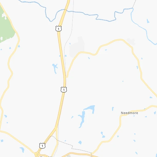
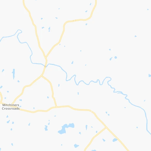
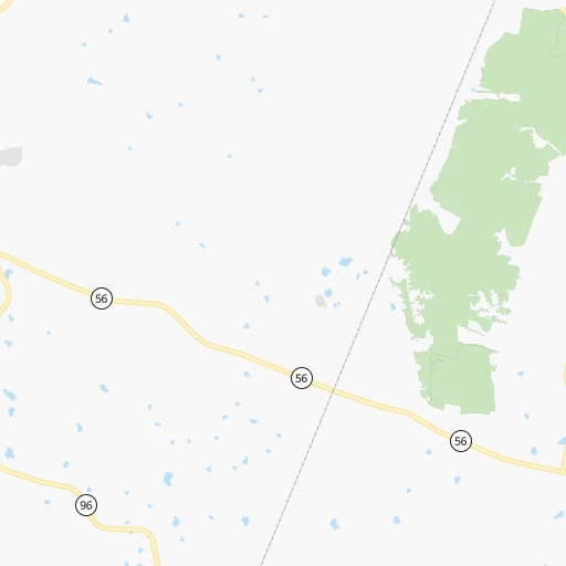
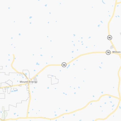
Roadmap (route) to go from Meadowlark Airport to Burlington detailed above, you can also see the course layout on the map.
While doing trip Meadowlark (airport) - Burlington by car, the calculated route ends at a distance , or more straight.
Distance and duration of the route between Meadowlark (airport) and Burlington
Calculation of distance and route from Burlington to Meadowlark (airport) :
91.4105.5 km1h22mn
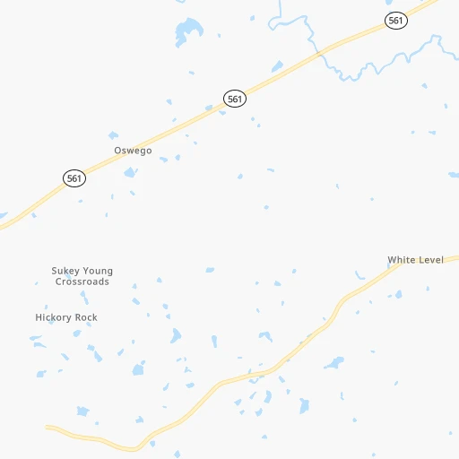
Continue 0h2mn 543 mTurn right 0h0mn 19 mTurn left onto Montgomery Road 0h4mn 2.9 kmTurn right onto Eric Medlin Road 0h0mn 143 mTurn left onto US 1 0h3mn 4.1 kmKeep right 0h0mn 124 mKeep right 0h0mn 62 mTurn slight right onto West Green Street 0h10mn 10.9 kmKeep left onto NC 56 0h10mn 10.5 kmContinue onto West Wilton Avenue 0h0mn 288 mTurn left onto North Durham Avenue 0h8mn 8.9 kmTurn left onto US 15 0h13mn 18.9 kmKeep left onto I 85, US 70 0h26mn 41.3 kmKeep right and take NC 54 toward Graham, Chapel Hill 0h0mn 414 mTurn right onto East Harden Street 0h2mn 2.5 kmKeep right onto NC 87 0h0mn 54 mTurn slight right onto West Elm Street 0h3mn 3.6 kmTurn left onto South Worth Street 0h0mn 116 mTurn right onto West Front Street 0h0mn 137 mTurn right onto South Church Street 0h0mn 51 mArrive at destination 0h0mn 0 m
Travel from Meadowlark (airport) (North Carolina) to a selection of major cities.
Distances from Meadowlark Airport to biggest cities in North Carolina
- Kannapolis,46,144 inhabitants.212 km
- Apex,45,585 inhabitants.61 km
- Hickory,40,374 inhabitants.267 km
- Wake Forest,38,199 inhabitants.21 km
- Indian Trail,37,073 inhabitants.236 km
- Mooresville,36,009 inhabitants.225 km
- Goldsboro,35,826 inhabitants.94 km
- Monroe,34,623 inhabitants.232 km
- Salisbury,34,017 inhabitants.193 km
- Holly Springs,31,377 inhabitants.67 km
- Matthews,30,678 inhabitants.238 km
- New Bern,30,070 inhabitants.171 km
- Fort Bragg,29,183 inhabitants.125 km
- Sanford,29,144 inhabitants.102 km
- Cornelius,28,092 inhabitants.232 km
- Garner,28,053 inhabitants.52 km
- Thomasville,27,061 inhabitants.152 km
- Statesville,26,221 inhabitants.226 km
- Asheboro,26,103 inhabitants.135 km
- Mint Hill,25,627 inhabitants.229 km
Other major cities in country :
- Seattle [WA], 684,451 inhabitants. 3,798 km
- Denver [CO], 682,545 inhabitants. 2,357 km
- El Paso [TX], 681,124 inhabitants. 2,628 km
- Detroit [MI], 677,116 inhabitants. 795 km
- Boston [MA], 667,137 inhabitants. 937 km
- Memphis [TN], 655,770 inhabitants. 1,057 km
- New South Memphis [TN], 641,608 inhabitants. 1,059 km
- Portland [OR], 632,309 inhabitants. 3,818 km
- Oklahoma City [OK], 631,346 inhabitants. 1,723 km
- Las Vegas [NV], 623,747 inhabitants. 3,279 km
- Baltimore [MD], 621,849 inhabitants. 384 km
- Washington, D.C. [DC], 601,723 inhabitants. 329 km
- Milwaukee [WI], 600,155 inhabitants. 1,116 km
- South Boston [MA], 571,281 inhabitants. 936 km
- Albuquerque [NM], 559,121 inhabitants. 2,548 km
- Tucson [AZ], 531,641 inhabitants. 3,011 km
- Nashville [TN], 530,852 inhabitants. 751 km
- Fresno [CA], 520,052 inhabitants. 3,674 km
- Sacramento [CA], 490,712 inhabitants. 3,785 km
- Kansas City [MO], 475,378 inhabitants. 1,460 km
Route from Burlington to major cities (United States).
- Distance Burlington New York City699 km
- Distance Burlington Los Angeles3,519 km
- Distance Burlington Chicago956 km
- Distance Burlington Brooklyn697 km
- Distance Burlington Houston1,644 km
- Distance Burlington Queens706 km
- Distance Burlington Philadelphia570 km
- Distance Burlington Phoenix2,985 km
- Distance Burlington Manhattan707 km
- Distance Burlington San Antonio1,928 km
- Distance Burlington San Diego3,464 km
- Distance Burlington The Bronx718 km
- Distance Burlington Dallas1,634 km
- Distance Burlington San Jose3,759 km
- Distance Burlington Austin1,821 km
- Distance Burlington Jacksonville674 km
- Distance Burlington San Francisco3,795 km
- Distance Burlington Columbus532 km
- Distance Burlington Fort Worth1,682 km
- Distance Burlington Indianapolis718 km
Nearest cities to Meadowlark (airport) :
- Charlotte, 827,097 inhabitants. 242 km
- Washington, D.C., 601,723 inhabitants. 329 km
- Virginia Beach, 452,745 inhabitants. 232 km
- Raleigh, 451,066 inhabitants. 47 km
- West Raleigh, 338,759 inhabitants. 46 km
- Greensboro, 285,342 inhabitants. 124 km
- Durham, 257,636 inhabitants. 46 km
- Norfolk, 246,393 inhabitants. 206 km
- Winston-Salem, 241,218 inhabitants. 164 km
- Chesapeake, 235,429 inhabitants. 206 km
- Richmond, 220,289 inhabitants. 178 km
- Arlington, 207,627 inhabitants. 325 km
- Fayetteville, 201,963 inhabitants. 129 km
- Newport News, 182,385 inhabitants. 203 km
- Cary, 159,769 inhabitants. 52 km
- Alexandria, 153,511 inhabitants. 319 km
- East Hampton, 147,993 inhabitants. 211 km
- Hampton, 136,454 inhabitants. 210 km
- Columbia, 133,803 inhabitants. 338 km
- Wilmington, 115,933 inhabitants. 219 km
- High Point, 110,268 inhabitants. 144 km
- Roanoke, 99,897 inhabitants. 184 km
- Portsmouth Heights, 99,049 inhabitants. 198 km
- Portsmouth, 96,201 inhabitants. 205 km
- Greenville, 90,597 inhabitants. 113 km
- Suffolk, 88,161 inhabitants. 176 km
- Concord, 87,696 inhabitants. 212 km
- South Suffolk, 80,690 inhabitants. 176 km
- Lynchburg, 79,812 inhabitants. 154 km
- Gastonia, 74,543 inhabitants. 269 km
- Rock Hill, 71,548 inhabitants. 273 km
- Silver Spring, 71,452 inhabitants. 339 km
- Centreville, 71,135 inhabitants. 312 km
- Waldorf, 67,752 inhabitants. 305 km
- Gaithersburg, 67,456 inhabitants. 350 km
- Jacksonville, 67,357 inhabitants. 180 km
- Rockville, 66,980 inhabitants. 345 km
- Dale City, 65,969 inhabitants. 293 km
- West Lynchburg, 65,517 inhabitants. 155 km
- Bethesda, 60,858 inhabitants. 336 km
- Chapel Hill, 59,568 inhabitants. 63 km
- Reston, 58,404 inhabitants. 327 km
- Bowie, 58,025 inhabitants. 344 km
- Rocky Mount, 55,806 inhabitants. 62 km
- Huntersville, 52,704 inhabitants. 234 km
- Harrisonburg, 52,538 inhabitants. 259 km
- Burlington, 52,472 inhabitants. 92 km
- Leesburg, 51,209 inhabitants. 338 km
- Wilson, 49,643 inhabitants. 66 km
- Aspen Hill, 48,759 inhabitants. 347 km
Location Meadowlark (airport) (North Carolina) :
| Country flag |  |
| Location | Meadowlark (airport) |
| State | North Carolina |
| County | Franklin County |
| Country | United States |
| Country code / ISO 2 | US |
| Latitude | 36.1543200 |
| Longitude | -78.4219400 |
| Altitude | 93 meters |
| Time zone | America/New_York |
Location Burlington (North Carolina) :
| Country flag | |
| Location | Burlington |
| State | North Carolina |
| County | Alamance County |
| Country | United States |
| Country code / ISO 2 | US |
| Latitude | 36.0956900 |
| Longitude | -79.4378000 |
| Altitude | 198 meters |
| Time zone | America/New_York |


